The best walks and hikes around Cerrione
4.4
(1446)
7,028
hikers
432
hikes
Hiking around Cerrione offers diverse trails through the Ivrea Morainic Amphitheater, characterized by glacial formations, hills, and lakes. The region features a mix of woodlands, open landscapes, and historic paths. Elevation changes are generally moderate, with some routes offering more challenging ascents.
Best hiking trails around Cerrione
- The most popular hiking route is From Zimone to Lake Bertignano along the HIGH ALTITUDE TRAIL of the Ivrea Morainic Amphitheater – loop tour, a 7.2 miles (11.6 km) trail that takes…
Last updated: September 27, 2026
3.8
(4)
10
hikers
Moderate hike. Good fitness required. Easily-accessible paths. Suitable for all skill levels.
4.0
(1)
7
hikers
18.7km
05:20
420m
420m
Hard hike. Very good fitness required. Mostly accessible paths. Sure-footedness required.

5.0
(3)
8
hikers
8.43km
02:14
90m
90m
Moderate hike. Good fitness required. Easily-accessible paths. Suitable for all skill levels.
6.02km
01:41
120m
120m
Easy hike. Great for any fitness level. Easily-accessible paths. Suitable for all skill levels.
5.0
(1)
2
hikers
8.17km
02:10
80m
80m
Moderate hike. Good fitness required. Easily-accessible paths. Suitable for all skill levels.
Get access to more routes and recommendations from other explorers.
Already have an account?
Our route recommendations are based on thousands of hikes, rides, and runs completed by other people on komoot.
Start today with a free account
Your next adventure awaits.

Tips from the Community


Located in an isolated clearing at the foot of Magnano, the Church of San Secondo is one of the purest and most fascinating examples of Romanesque architecture in the Biellese area ⛪✨. Dating back to the 11th century, this ancient parish church welcomes you with its stone and pebble facade, framed by green meadows and silent woods 🌿. The real protagonist is its majestic bell tower, which stands proudly next to the tripartite structure, offering a timeless atmosphere of peace ⏳
0
0
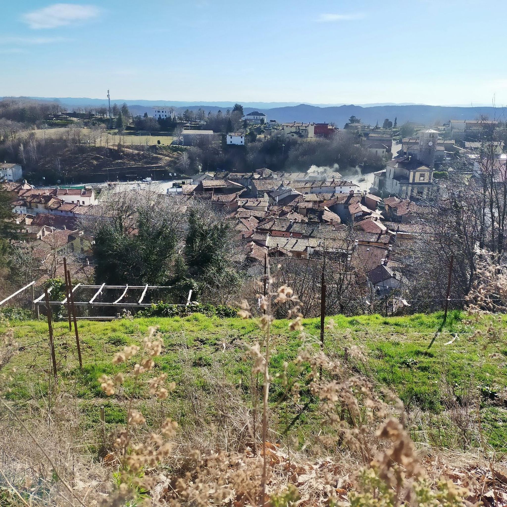
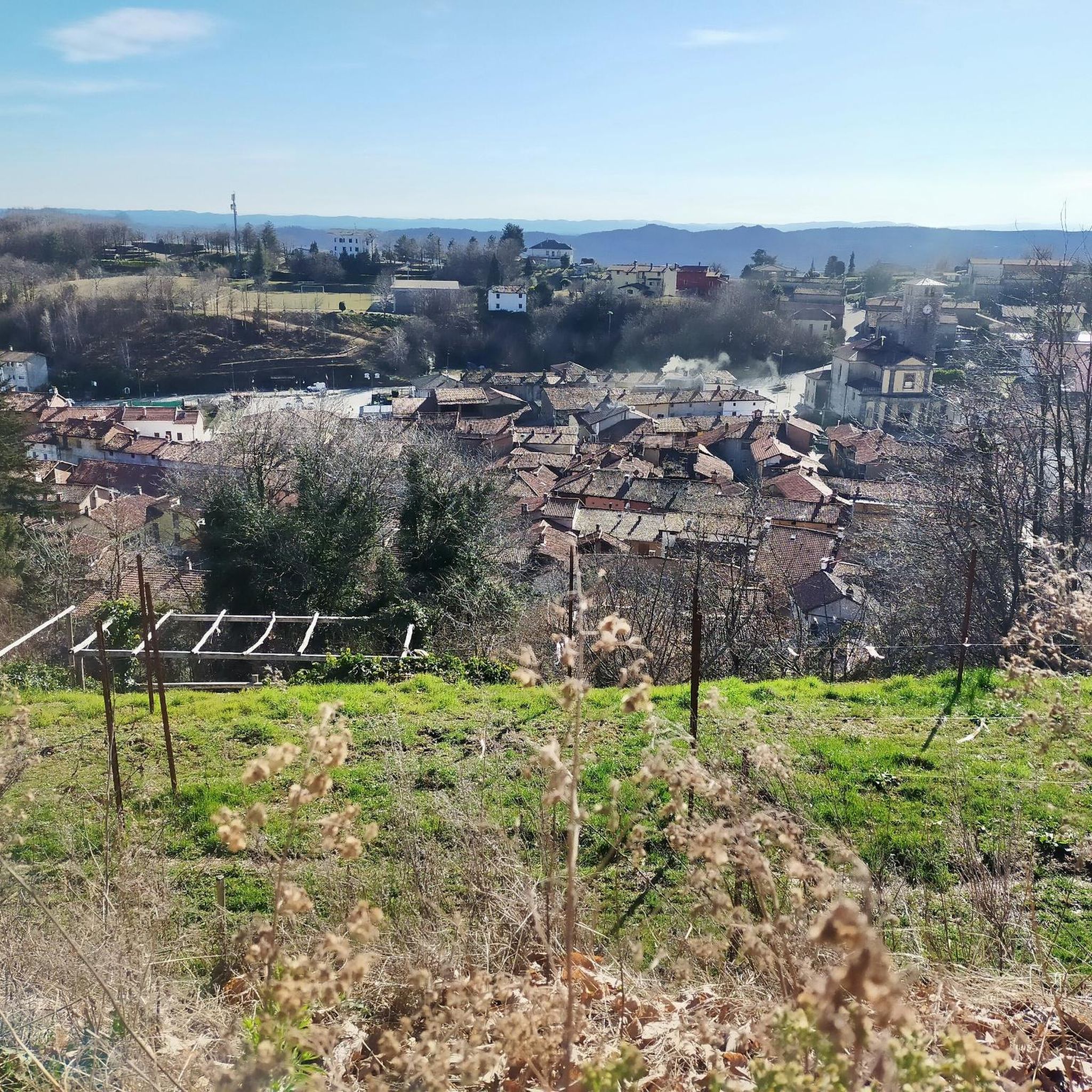
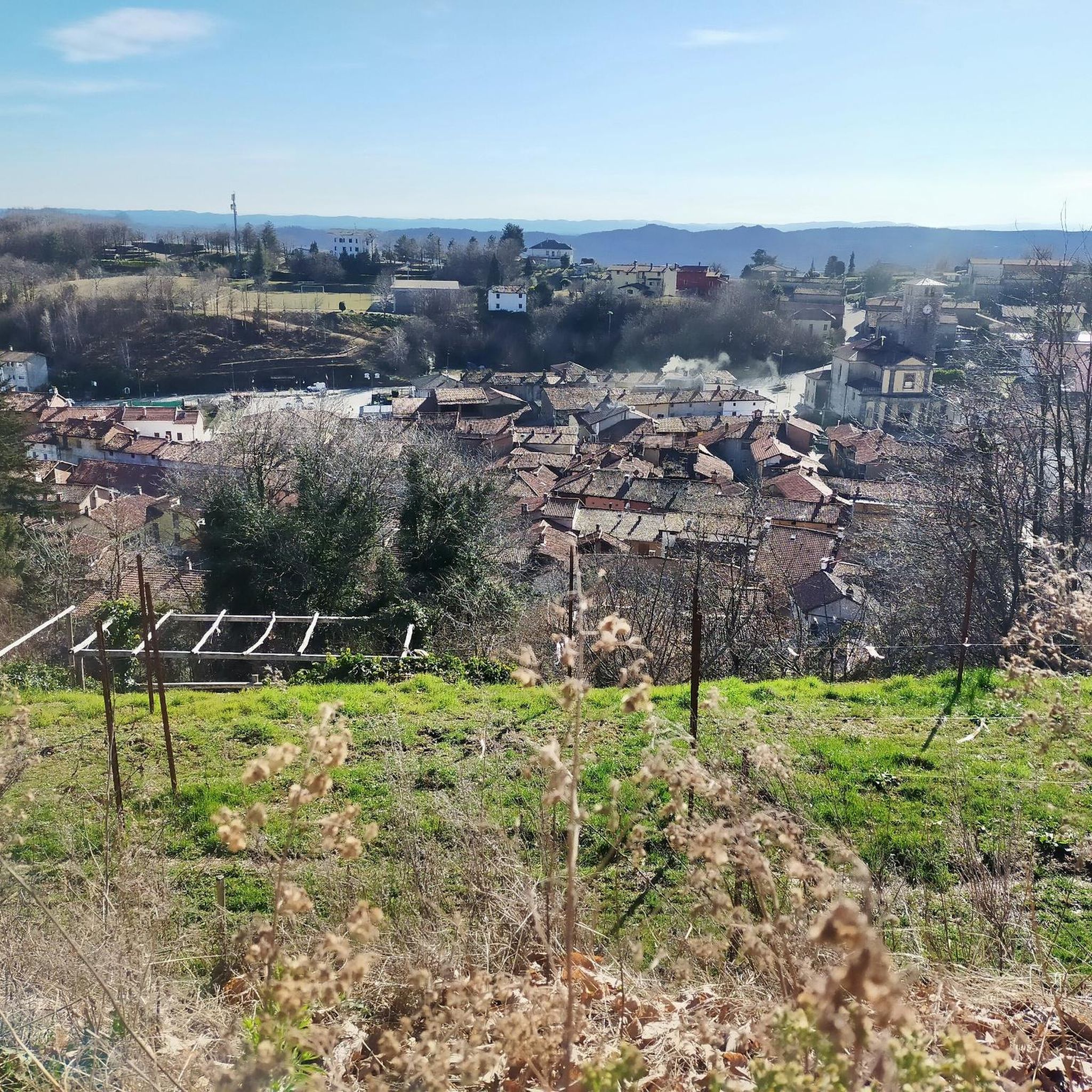
Il Ricetto di Magnano is a 12th-century fortified village that seems suspended in time, located on the crest of the Serra Morenica 🏰. Unlike the more famous Ricetto di Candelo, this one retains a more intimate, wild, and authentic atmosphere 🌿. Strolling through its narrow cobbled streets and ancient stone houses, you'll be surrounded by an almost magical silence 🤫. The highlight is the entrance tower-gate, which still welcomes visitors today, projecting them directly into the Middle Ages 🛡️.
1
0

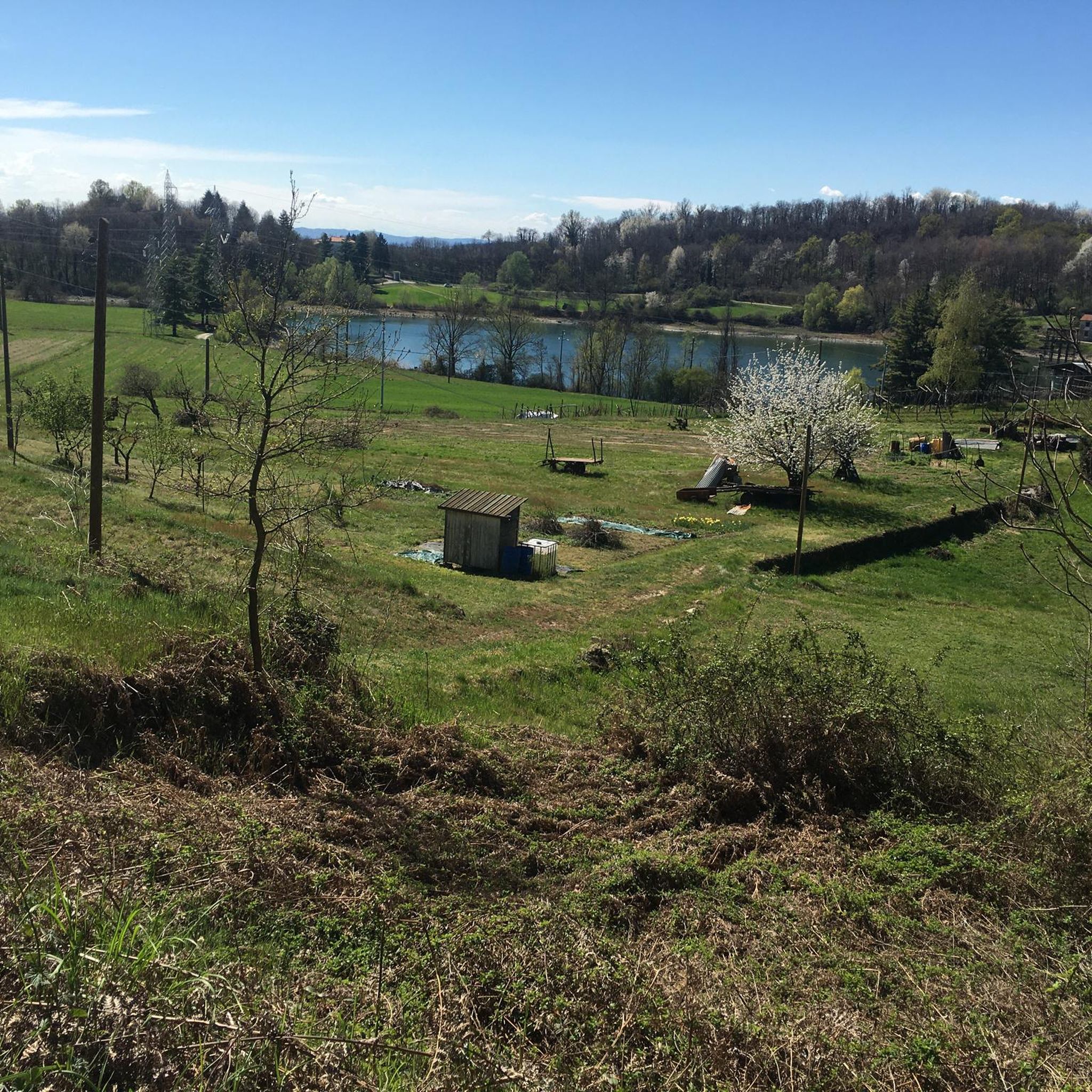
Area where gold prospecting competitions are held. Italian, European and World championships have taken place here.
1
0

Wikipedia: Victimulae (or Victumulae), or more commonly Victimula, is a Roman-era settlement (probably already developed in pre-Roman times) located in Piedmont, in the southwest of the Biella area, not far from Lake Viverone. More precisely, it is believed to have been located on the slopes of the Serra Morenica d'Ivrea near the Bessa plateau.
0
0
medieval ricetti are warehouses / granaries that can also be used for defensive purposes
0
2

Less famous than Candelo, not too far away, but nice in its own small way.
1
0
Frequently Asked Questions
How many hiking trails are available around Cerrione?
There are over 420 hiking routes around Cerrione, offering a wide variety of options for different skill levels and preferences. This includes more than 170 easy trails, 220 moderate routes, and 20 challenging hikes.
Are there any easy or family-friendly hiking trails in Cerrione?
Yes, Cerrione offers over 170 easy trails suitable for families. A great option is the S59 Witch's Oak and Glacial Stream Trail, an easy 3.7-mile (6 km) loop that takes about 2 hours to complete, featuring gentle elevation changes.
What are some challenging hiking options near Cerrione?
For experienced hikers seeking a challenge, there are 21 difficult routes. Consider the In the Serra di Ivrea, Zimone and Magnano – loop from Vermogno, an 11.6-mile (18.7 km) path with significant elevation gain, traversing varied terrain through woodlands and open areas.
Are there circular walking routes around Cerrione?
Many trails in the Cerrione area are designed as loops. For example, the popular From Zimone to Lake Bertignano along the HIGH ALTITUDE TRAIL of the Ivrea Morainic Amphitheater – loop tour is a 7.2-mile (11.6 km) circular route exploring the unique morainic landscape.
What kind of natural attractions or landmarks can I see along the trails?
The region is characterized by its glacial formations, morainic hills, and lakes. You can explore highlights such as Lake Bertignano or the historic Pile-dwelling Village at Lake Viverone. Many routes offer views of these natural and historical sites.
Are there any historical sites or castles to visit near the hiking paths?
Yes, the area around Cerrione is rich in history. Hikers can discover medieval structures like the Ricetto of Candelo or the impressive Roppolo Castle, often accessible via nearby trails.
What do other hikers say about the trails in Cerrione?
The hiking routes in Cerrione are highly regarded by the komoot community, with an average rating of 4.4 stars from over 1,100 reviews. Hikers often praise the diverse morainic landscape, the well-maintained paths, and the scenic views of the glacial lakes and woodlands.
What is the best time of year to go hiking in Cerrione?
The spring and autumn months generally offer the most pleasant hiking conditions in Cerrione, with mild temperatures and vibrant natural colors. Summer can also be enjoyable, especially in the woodlands, but be prepared for warmer weather. Winter hiking is possible, but some trails might be affected by snow or ice, particularly at higher elevations.
Are the hiking trails in Cerrione dog-friendly?
Many trails in the Cerrione region are suitable for dogs, especially those that traverse woodlands and open landscapes. It's always advisable to keep dogs on a leash, especially near wildlife or in agricultural areas, and to check specific trail regulations if available.
Are there less crowded hiking options for a more peaceful experience?
While popular routes can see more visitors, the extensive network of over 420 trails means it's possible to find quieter paths. Exploring some of the lesser-known moderate or easy trails, particularly during weekdays or off-peak hours, can offer a more serene hiking experience away from the main crowds.
What kind of terrain can I expect on the trails around Cerrione?
The terrain around Cerrione is primarily defined by the Ivrea Morainic Amphitheater, meaning you'll encounter rolling morainic hills, glacial lakes, and varied woodlands. Paths range from well-trodden dirt tracks to more rugged sections, offering a mix of gentle slopes and some steeper ascents, especially on moderate to difficult routes.
Most popular attractions around Cerrione

Get inspired with the komoot mobile app


Explore more
Browse the best Hikes in other regions.
