The best walks and hikes around Seiwerath
4.5
(5329)
17,074
hikers
687
hikes
Hiking around Seiwerath offers access to diverse landscapes within the Eifelkreis-Bitburg-Prüm region. The area is characterized by idyllic forests, rolling hills, and clear rivers, situated on the edge of the Southern Eifel Nature Park. This natural setting provides varied terrain for outdoor activities, including well-known paths like sections of the Eifelsteig trail. The region features a mix of wooded areas and open landscapes, suitable for different hiking preferences.
Best hiking trails around Seiwerath
- The most popular hiking route is View of Vulkan Kalem – Vulkaneifel Trail loop from Truffvenn bei Burbach, a moderate 8.8 miles (14.2 km) trail that takes 3 hours 53 minutes to complete, offering views of the Eifel volcanic landscape.
- Another top favourite among local hikers is Artists' Village Eifel – Weißenseifen Sculpture Park loop from Truffvenn bei Burbach, an easy 2.7 miles (4.3 km) path, winding through forests and past artistic installations.
- Local hikers also love the Marienkapelle – Pond in the Grunewald State Forest loop from Burbach, a 4.3 miles (6.9 km) trail leading through the Grunewald State Forest, often completed in about 1 hour 55 minutes.
- Hiking around Seiwerath is defined by idyllic forests, rolling hills, and clear rivers within the Southern Eifel Nature Park. The network offers options for different ability levels, from easy forest walks to more challenging routes with elevation gains.
- The routes in Seiwerath are highly rated by the komoot community with an average score of 4.5 stars from over 4000 reviews. More than 15000 hikers have used komoot to explore Seiwerath's varied terrain.
Last updated: September 30, 2026
4.8
(27)
78
hikers
14.1km
03:53
230m
230m
Moderate hike. Good fitness required. Easily-accessible paths. Suitable for all skill levels.
4.7
(7)
25
hikers
Easy hike. Great for any fitness level. Easily-accessible paths. Suitable for all skill levels.

4.6
(11)
28
hikers
7.08km
01:58
130m
130m
Easy hike. Great for any fitness level. Easily-accessible paths. Suitable for all skill levels.
5.0
(8)
18
hikers
11.7km
03:15
220m
220m
Moderate hike. Good fitness required. Easily-accessible paths. Suitable for all skill levels.
4.5
(6)
22
hikers
Moderate hike. Good fitness required. Easily-accessible paths. Suitable for all skill levels.
Get access to more routes and recommendations from other explorers.
Already have an account?
Our route recommendations are based on thousands of hikes, rides, and runs completed by other people on komoot.
Start today with a free account
Your next adventure awaits.

Tips from the Community

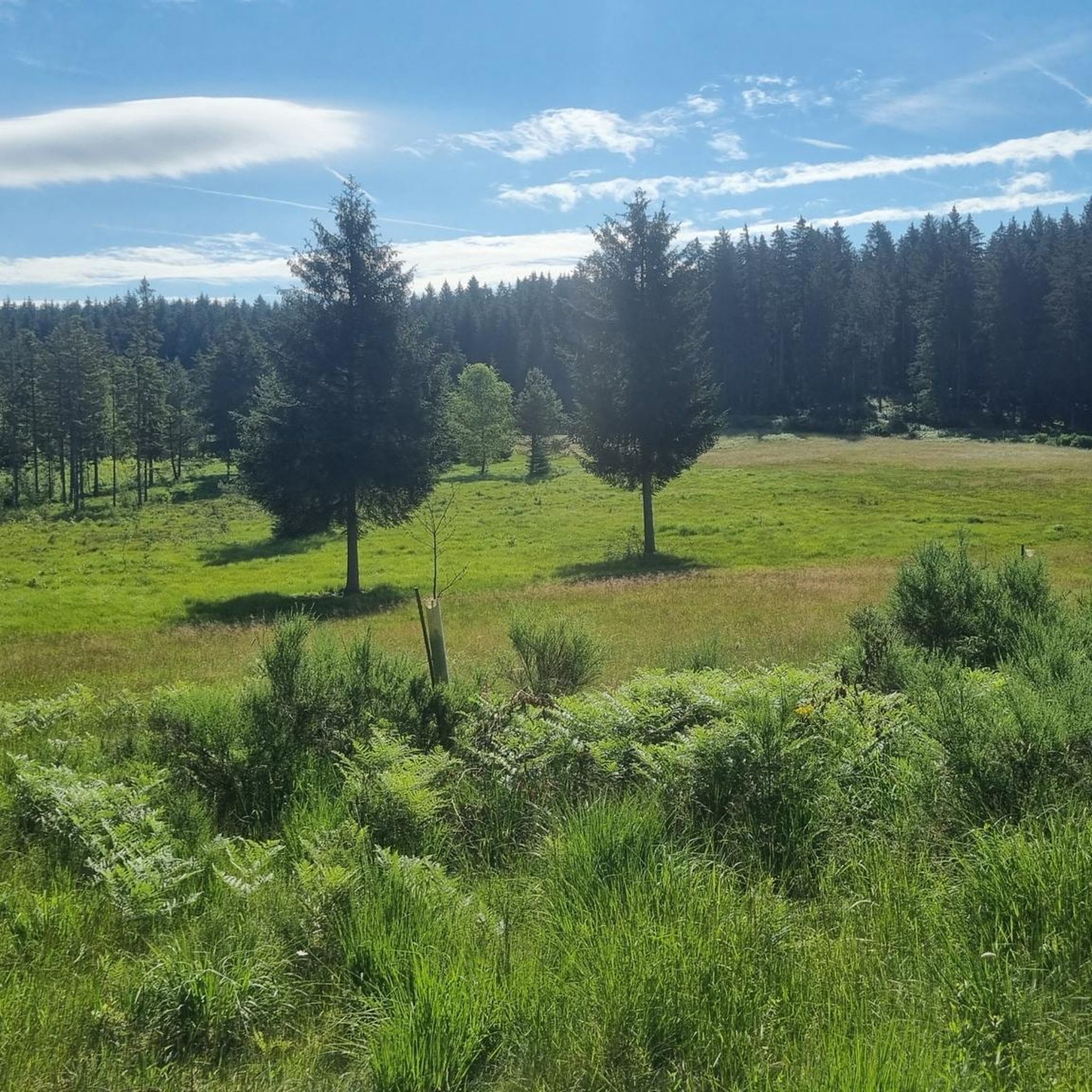
Enjoy the clearly noticeable temperature drop, especially in midsummer!
0
0

A joker has installed an old telephone at the emergency vehicle access point! We found it amusing 🤣 - but hopefully, in an emergency, no one will be so overwhelmed by the situation that they actually pick up the phone 😱
0
0

This gives us the opportunity to take a short breather.
2
0

There is also a wonderful archery course at the Wolffhotel in Kopp.
0
0

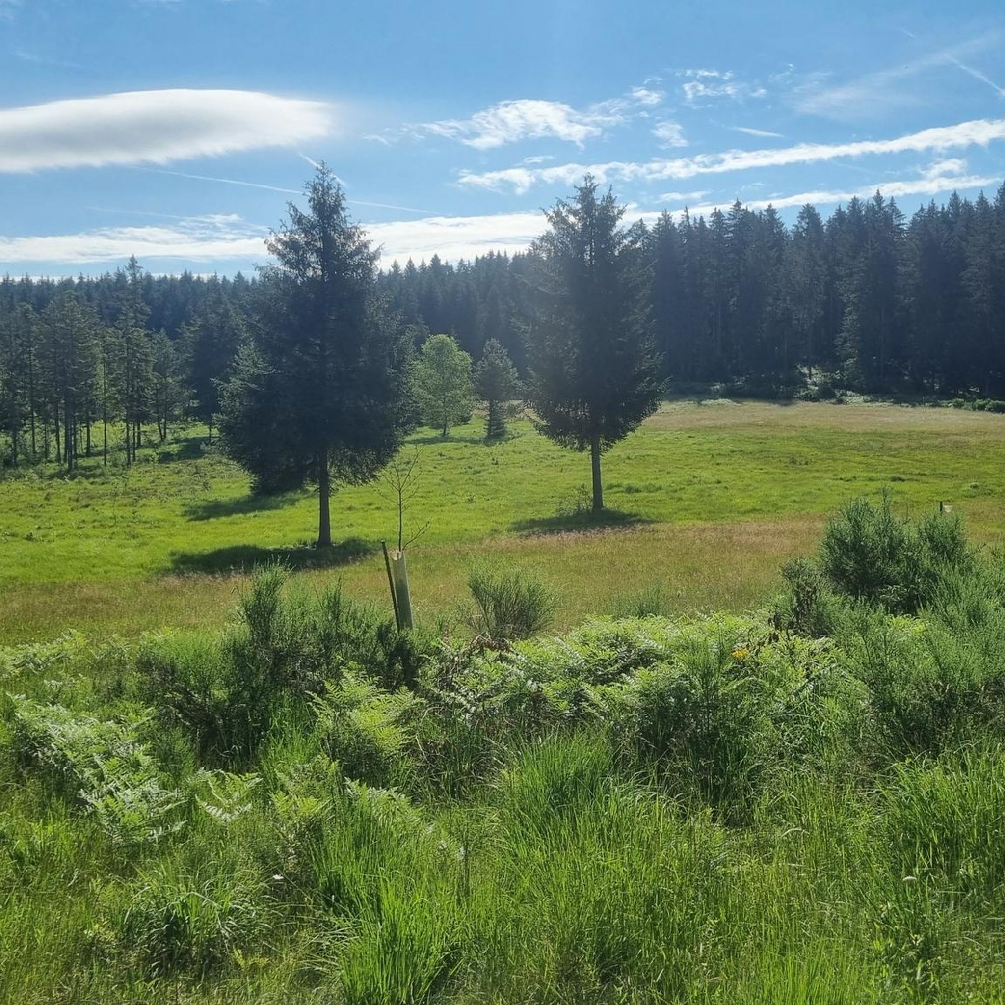
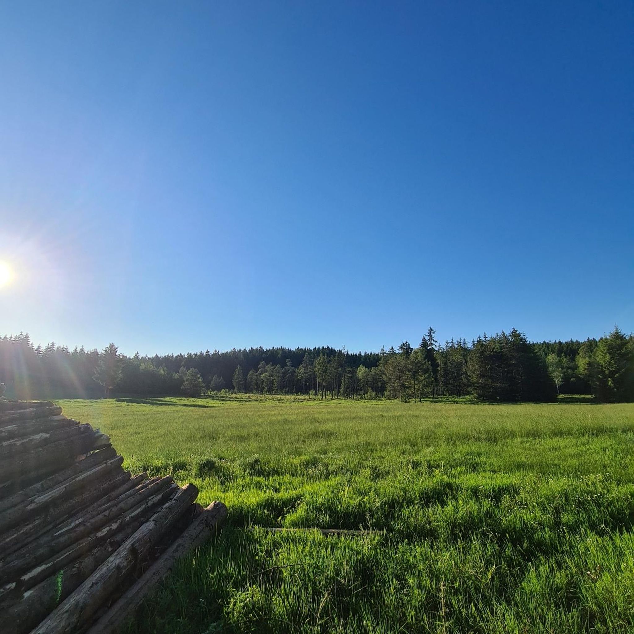
Worth a visit at any time of year. Especially in early summer when the cotton grass is in bloom 👍📸💮
0
0

Small shelter with information board and great view.
0
0
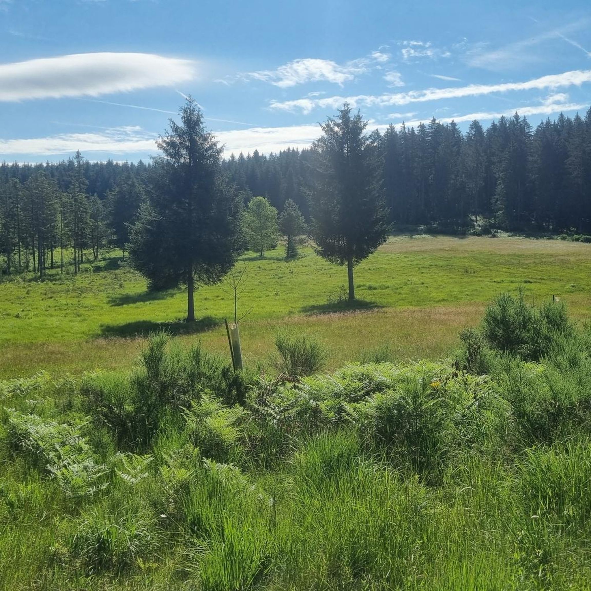
Bench with a view of the forest
0
0
Very quaint church with a beautiful cross on the side.
0
0
Frequently Asked Questions
How many hiking trails are available around Seiwerath?
Seiwerath offers a wide variety of hiking opportunities, with over 670 trails available. These range from easy strolls through forests to more challenging routes across rolling hills, catering to all experience levels.
What is the best time of year to go hiking in Seiwerath?
The region around Seiwerath is particularly appealing in spring and autumn. During these seasons, you can experience colorful flower meadows or golden foliage, creating a beautiful backdrop for your hikes. The diverse landscape of idyllic forests and clear rivers is enjoyable year-round, but these seasons offer an unforgettable experience.
Are there any family-friendly hiking routes in Seiwerath?
Yes, Seiwerath has many options suitable for families. For an easy and engaging walk, consider the Artists' Village Eifel – Weißenseifen Sculpture Park loop from Truffvenn bei Burbach, which is 2.7 miles (4.3 km) long and winds through forests past artistic installations. Another accessible option is the Marienkapelle – Pond in the Grunewald State Forest loop from Burbach, a 4.3 miles (6.9 km) trail through serene woodlands.
Can I bring my dog on the hiking trails around Seiwerath?
Many trails around Seiwerath are dog-friendly, allowing you to explore the idyllic forests and rolling hills with your canine companion. It's always recommended to keep dogs on a leash, especially in nature protection areas or near wildlife. For a moderate adventure, the Solid – The Big Chair loop from Seiwerath offers a great experience for both you and your dog.
What kind of natural attractions or landmarks can I see while hiking near Seiwerath?
The region boasts several unique natural and historical attractions. You can explore the fascinating Birresborn Ice Caves (Birresborner Ice Caves), known for maintaining ice well into summer (note: closed Oct 1 - Mar 31 for bat protection). Other points of interest include the Altenburger Bach Valley and the Valley of the Rocks, offering picturesque landscapes.
Are there any circular hiking routes available?
Yes, many of the hiking routes around Seiwerath are circular, offering convenient starting and ending points. Examples include the View of Vulkan Kalem – Vulkaneifel Trail loop from Truffvenn bei Burbach, a moderate 8.8-mile (14.2 km) route, and the Bench at the Wayside Cross – Weißenseifen Artists' Colony Sculpture Garden loop from Hersdorf, a moderate 7.7-mile (12.4 km) trail.
What is the typical difficulty level of hikes in Seiwerath?
Seiwerath offers a good mix of difficulty levels. You'll find over 330 easy routes, around 318 moderate trails, and 24 more challenging options. This variety ensures that both casual walkers and experienced hikers can find suitable paths, from gentle forest walks to routes with more significant elevation gains.
Where can I find parking for hiking trails in Seiwerath?
Parking is generally available at the starting points of many popular hiking trails and in the villages surrounding Seiwerath. Specific parking information is often detailed on individual route pages on komoot, helping you plan your access to the trailheads.
Is Seiwerath accessible by public transport for hikers?
While Seiwerath is a rural area, some public transport options may connect it to larger towns. However, for direct access to many trailheads, personal transport is often more convenient. It's advisable to check local bus schedules for connections from nearby towns like Birresborn or Burbach if you plan to rely on public transport.
What do other hikers say about the trails in Seiwerath?
The hiking trails around Seiwerath are highly regarded by the komoot community, with an average rating of 4.5 stars from over 4,400 reviews. Hikers frequently praise the diverse and breathtaking landscapes, including the idyllic forests, rolling hills, and clear rivers, as well as the well-maintained paths that offer varied terrain for exploration.
Are there options for shorter, easier hikes for beginners?
Absolutely. Seiwerath is home to over 330 easy routes, perfect for beginners or those looking for a relaxed walk. The Artists' Village Eifel – Weißenseifen Sculpture Park loop from Truffvenn bei Burbach is an excellent choice, being only 2.7 miles (4.3 km) long and relatively flat, offering a pleasant experience without significant effort.
Where can I find refreshments or accommodation near the hiking trails?
Seiwerath and its surrounding villages offer various options for refreshments and accommodation. You can find cafes, pubs, and guesthouses in Seiwerath itself or in nearby communities like Burbach and Birresborn, providing places to rest and refuel after your hike.
Most popular routes around Seiwerath
Most popular attractions around Seiwerath

Get inspired with the komoot mobile app


Explore more
Browse the best Hikes in other regions.
