The best walks and hikes around Pettinengo
4.4
(3619)
20,766
hikers
795
hikes
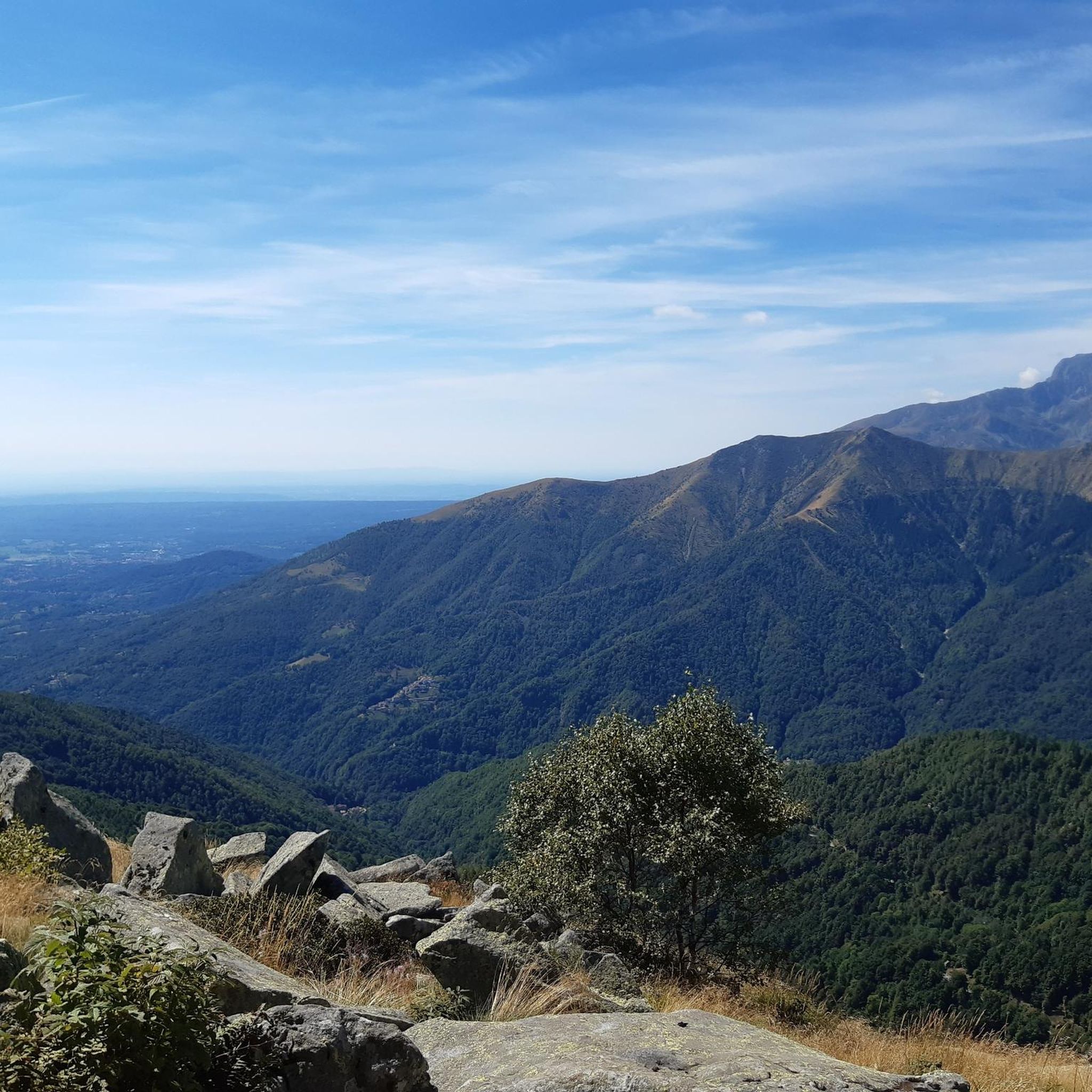
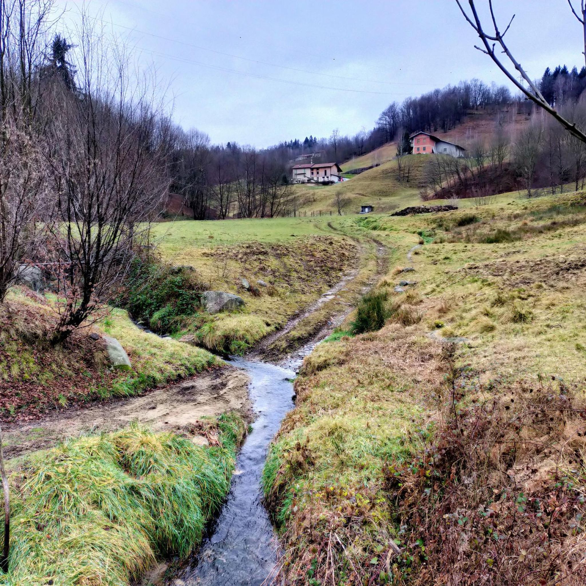
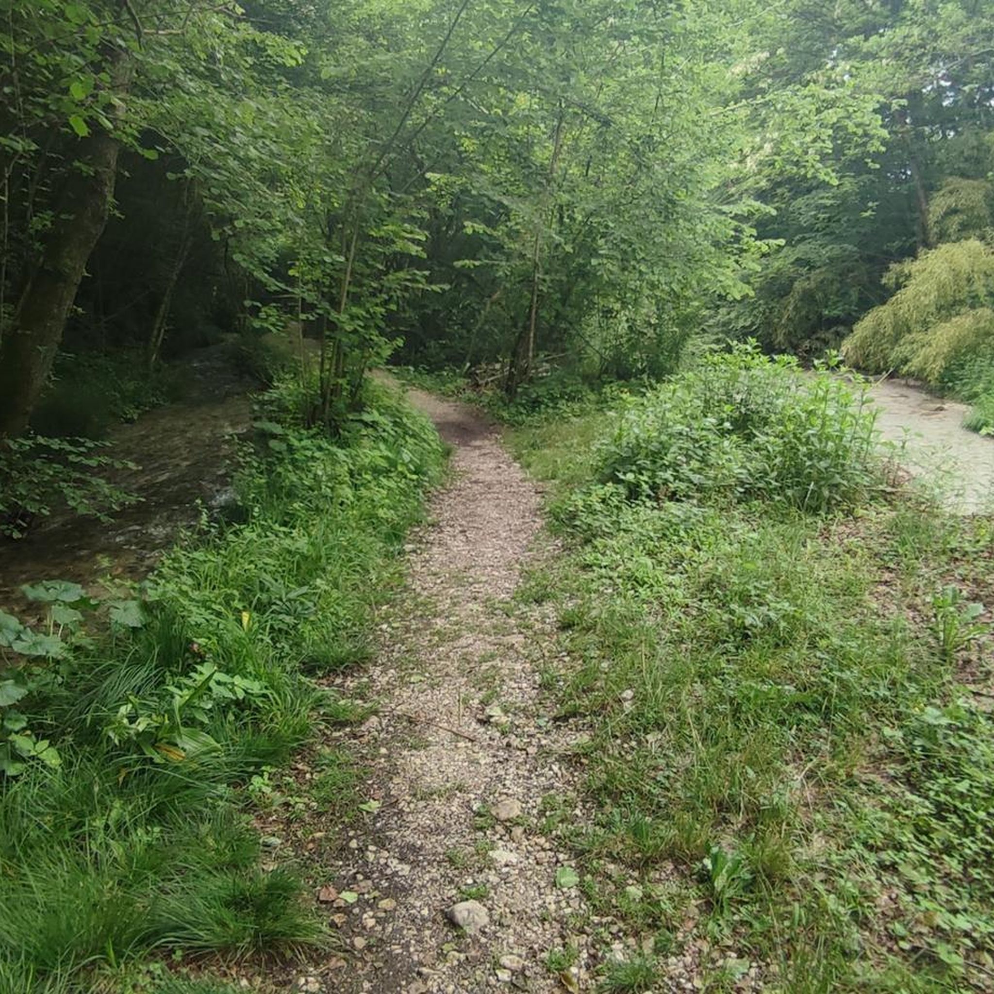
Hiking around Pettinengo, nestled in the Biellese hills of Piedmont, Italy, offers diverse landscapes for outdoor activities. The region is characterized by a succession of hills, green woods, and valleys, providing varied topography. From elevated points, panoramic views of the surrounding valleys and the Alpine arc are visible on clear days. Trails often weave through peaceful countryside, mixing woodland paths with views of the Strona di Mosso, Chiebbia, and Quargnasca torrents.
Best hiking trails in Pettinengo
- The most popular hiking…
Last updated: June 23, 2026
5.0
(1)
6
hikers
9.94km
05:49
1,080m
1,080m
Alpine climb through beech woods to a lakeside meadow with sweeping views of three valleys and Monte Rosa.
5.0
(1)
7
hikers
20.7km
05:54
470m
470m
Hike the challenging F14 trail through Piedmont valleys via Poggio Selletto Grosso, covering 12.9 miles with 1553 feet of gain.

Sign up for free
6.29km
02:15
310m
310m
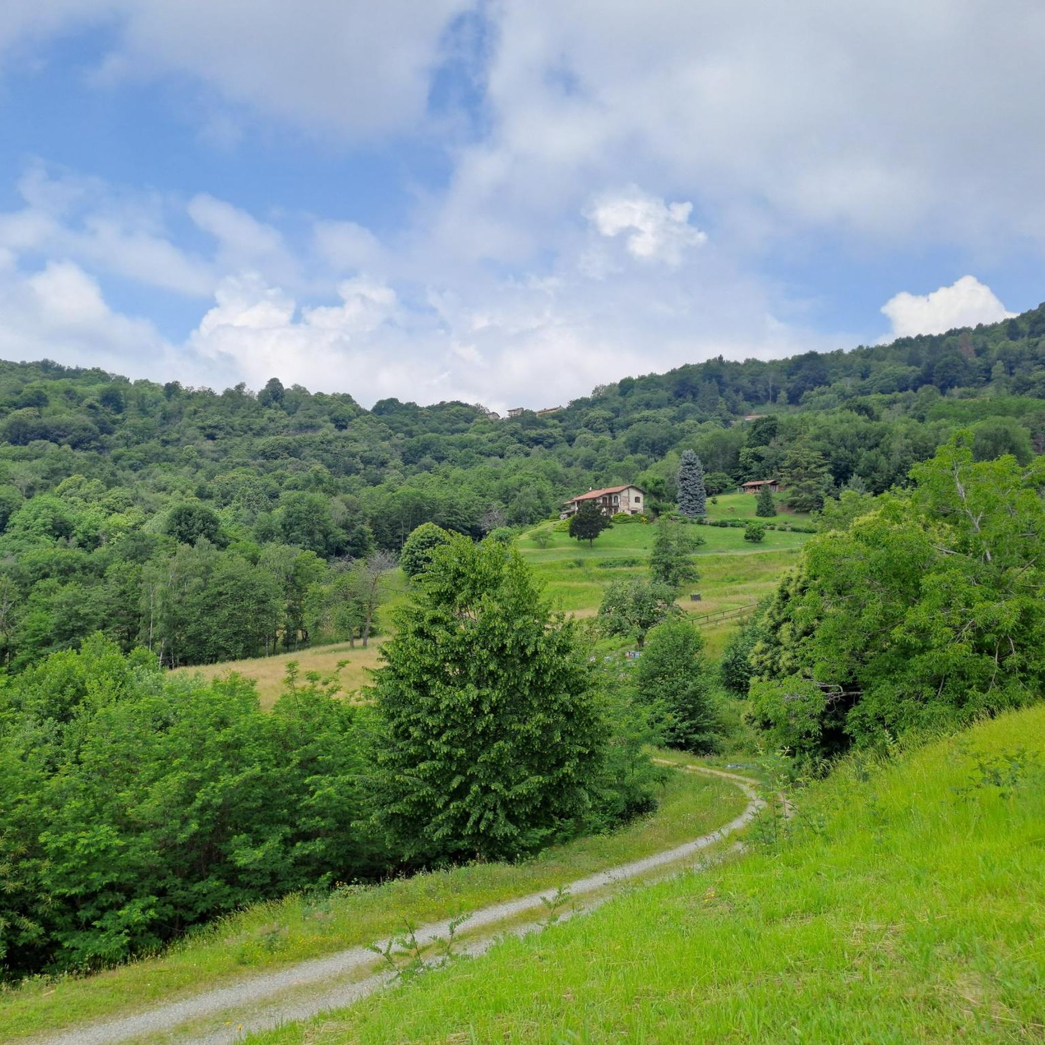
Peaceful countryside loop through Piedmont's rolling hills, mixing woodland paths with valley views.
4.6
(9)
16
hikers
6.59km
01:54
160m
160m
Easy hike. Great for any fitness level. Easily-accessible paths. Suitable for all skill levels.
5.0
(4)
23
hikers
8.30km
02:36
320m
320m
Moderate hike. Good fitness required. Easily-accessible paths. Suitable for all skill levels.
Get access to more routes and recommendations from other explorers.
Sign up for free
Already have an account?
Our route recommendations are based on thousands of hikes, rides, and runs completed by other people on komoot.
Start today with a free account
Your next adventure awaits.
Login or Signup

Tips from the Community

A beautiful walk, mostly in the shade. Recommended especially in autumn.
0
0
Absolutely no private property limit impassable without permission of the owners
0
0

Monte Bo on the ridge that divides Val Sorba from the Meggiana basin, panorama towards the Monte Rosa group and the main groove of Valsesia.
1
0
Small natural lake in a quiet area with a sublime view. Great for a stop.
1
1

Monte Bo di Valsesia is located at 2072 meters. Monte Bo is located on the watershed crest that divides Val Sorba from the Meggiana basin. The ridge originates from the Testone delle Tre Alpi, from which the Bo is separated by a collar called Colma Colora or Bocchetta del Bo (2,023 m). From the summit you can admire the Monte Rosa group and Valsesia. On the top, in addition to a statue of the Madonna, there is the trigonometric geodetic point of the IGM called Monte Bo di Valsesia.
1
0

Simple walk also suitable for children
0
0

Summit walk with challenging gradients (at least for me).
0
0
Frequently Asked Questions
How many hiking trails are there in Pettinengo?
Pettinengo offers a wide variety of hiking experiences, with over 760 routes available. These range from easy strolls to more challenging mountain ascents, catering to all fitness levels.
What do other hikers enjoy most about hiking in Pettinengo?
The hiking trails around Pettinengo are highly rated by the komoot community, with an average score of 4.4 stars from over 3,200 reviews. Hikers frequently praise the diverse landscapes, from peaceful woodlands to panoramic Alpine views, and the well-maintained trail networks that offer a mix of natural beauty and cultural insights.
What is the best time of year to hike in Pettinengo?
The best time to hike in Pettinengo is generally during spring, summer, and early autumn. During these seasons, the weather is most favorable for exploring the diverse terrain, and you'll have the best chance for clear days to enjoy the magnificent panoramic views of the Alpine arc.
Are there any circular walks around Pettinengo?
Yes, Pettinengo offers several excellent circular routes. One notable option is the Camandona countryside loop (via L10 trail), which takes you through rolling hills, woodlands, and offers beautiful valley views. Another is the Bar Campo – Rifugio Meggiana loop from Alpe Pianelle, providing a different perspective of the area.
Are there family-friendly hiking options in Pettinengo?
Pettinengo features many easy and accessible paths suitable for families. These trails often wind through peaceful countryside and woods, providing a gentle introduction to hiking without significant elevation changes. Look for routes categorized as 'easy' on komoot for the most suitable options.
Can I hike with my dog in Pettinengo?
Generally, dogs are welcome on most hiking trails in Pettinengo. It's always recommended to keep your dog on a leash, especially in areas with livestock or wildlife, and to clean up after them. The varied terrain, from woodlands to open paths, offers plenty for you and your canine companion to explore.
Are there trails with panoramic views in Pettinengo?
Absolutely. Pettinengo is known as the 'balcony of Biellese' for a reason. From elevated points like San Francesco, you can enjoy magnificent views of the entire Alpine arc on clear days. Many trails, such as the Monte Bo di Valsesia Summit Trail from Madonna delle Pose, lead to expansive vistas over the valleys and surrounding mountains.
What historical or cultural points of interest can I find on hikes?
Pettinengo's trails often integrate natural beauty with historical and cultural sites. You can explore elements like the 'chestnut sundials' and a monument depicting a sheep on the Sentiero della Pecora e del Castagno. The Sentiero dell'Erba e del Fieno passes by the 17th-century Immaculate Conception Church and the ruins of the Zorio wool mill. Additionally, the Historic shepherd's route to Bocchetto Sessera Pass (L61 trail) traverses Oasi Zegna forests, offering insights into alpine culture. You can also visit the Oropa Sanctuary, a significant religious site nearby.
Are there any waterfalls or natural water features along the trails?
Yes, the region is rich in water features. Trails often follow the valleys of torrents like the Strona di Mosso, Chiebbia, and Quargnasca. The wild valley of the Riasca stream is a significant natural feature, and the area is known for natural monuments, waterfalls, and small natural lakes with sublime views. You might also encounter the Barma Lakes, which are beautiful natural highlights.
Is there parking available at the trailheads in Pettinengo?
While specific parking details vary by trailhead, Pettinengo and the surrounding Biellese area are generally well-equipped to support tourism. You can typically find parking in or near the villages that serve as starting points for many routes. It's advisable to check local signage or route descriptions for precise parking information.
How can I reach the hiking trails in Pettinengo by public transport?
Pettinengo is accessible by public transport, primarily through bus services connecting it to larger towns in the Biellese province. From these towns, you can often find connections to various trailheads. Planning your journey in advance using local bus schedules is recommended to ensure convenient access to your chosen hiking route.
Are there challenging hikes for experienced hikers in Pettinengo?
Absolutely. For experienced hikers, Pettinengo offers challenging routes with significant elevation gain and varied terrain. The Alta Valsessera Ring Trail is a difficult 12.9-mile route through Piedmont valleys, and the Monte Bo di Valsesia Summit Trail from Madonna delle Pose is a strenuous hike leading to a summit with expansive views.
Most popular routes around Pettinengo
Most popular attractions around Pettinengo

Get inspired with the komoot mobile app


Explore more
Browse the best Hikes in other regions.
