The best running trails around Camandona
4.7
(80)
5,969
runners
306
runs
Jogging around Camandona provides access to varied terrain, characterized by significant elevation changes and natural landscapes. The region's running routes often navigate through valleys and along hillsides, offering a mix of challenging ascents and scenic paths. This area is suitable for runners seeking routes with diverse gradients and natural surroundings.
Best jogging routes around Camandona
- The most popular jogging route is Val Sessera - Ring Tour, a 6.8 miles (10.9 km) trail that takes 1 hour 26 minutes to…
Last updated: July 4, 2026
5
runners
10.9km
01:26
360m
360m
Hard run. Very good fitness required. Mostly paved surfaces. Suitable for all skill levels.
48
runners
20.0km
03:12
970m
970m
Hard run. Very good fitness required. Sure-footedness, sturdy shoes and alpine experience required.

Sign up for free
5.0
(1)
45
runners
Hard run. Very good fitness required. Mostly paved surfaces. Suitable for all skill levels.
24
runners
13.9km
01:33
290m
290m
Moderate run. Good fitness required. Mostly paved surfaces. Suitable for all skill levels.
23
runners
19.0km
02:47
810m
810m
Hard run. Very good fitness required. Sure-footedness, sturdy shoes and alpine experience required.
Get access to more routes and recommendations from other explorers.
Sign up for free
Already have an account?
Our route recommendations are based on thousands of hikes, rides, and runs completed by other people on komoot.
Start today with a free account
Your next adventure awaits.
Login or Signup
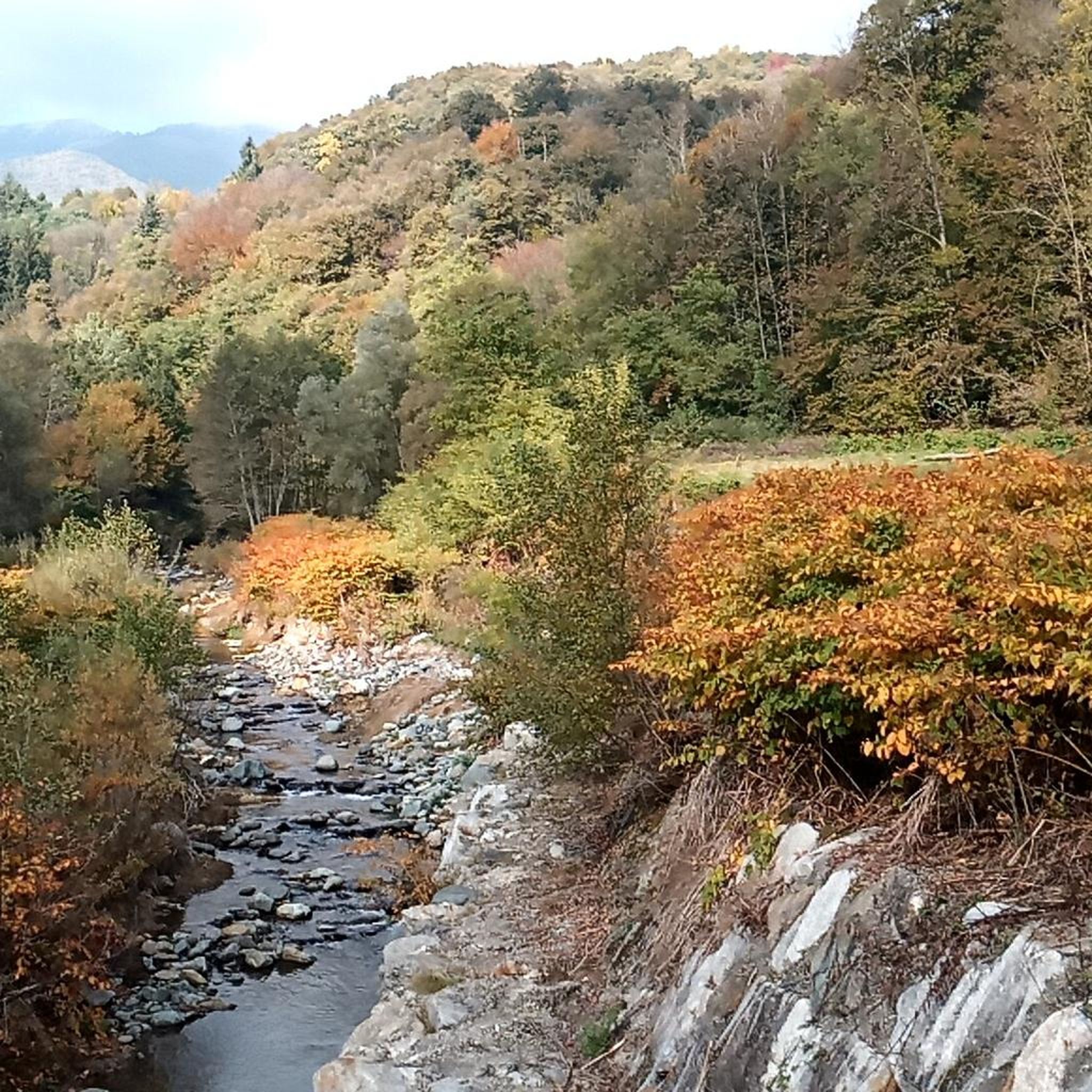
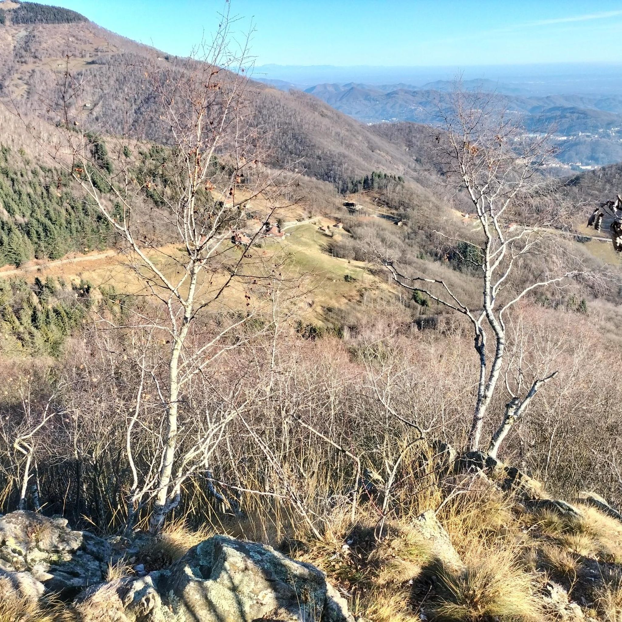
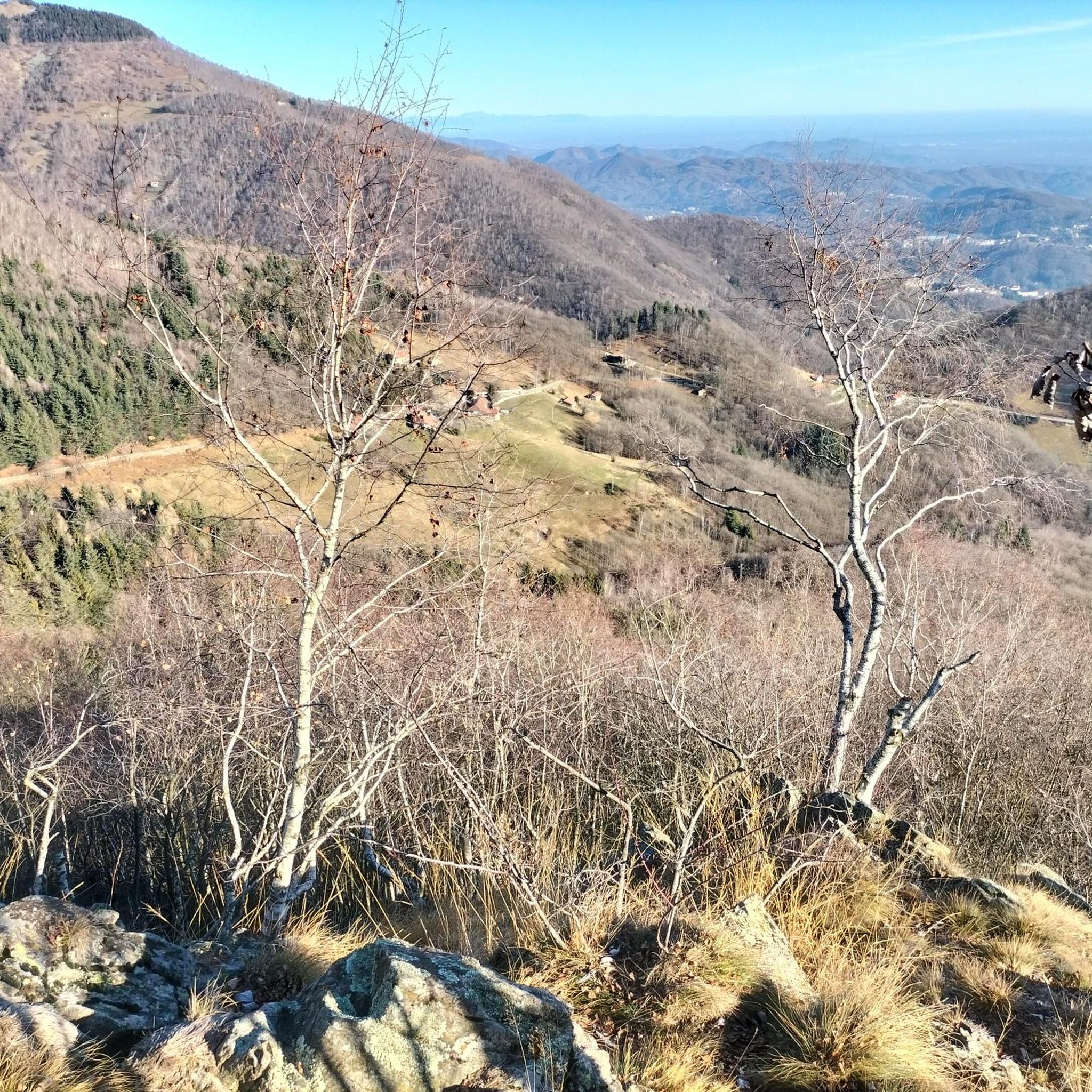
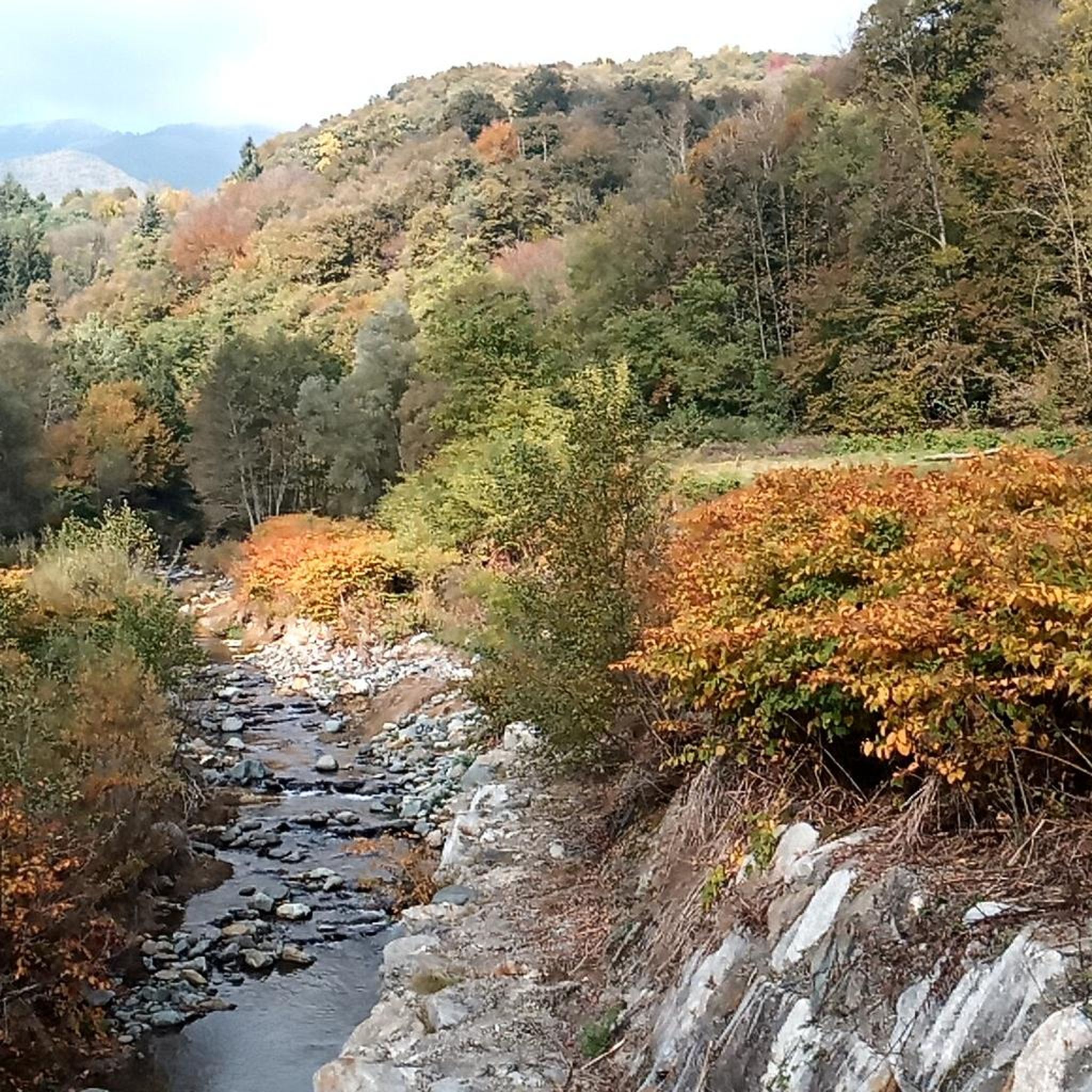

Tips from the Community

beautiful view from the top that remains on the ridge is more a trail to do on foot but also feasible by MTB for the more experienced it is not long it can also be done the last piece on foot
0
0

The **Passo (or Bocchetto) di Bocchetto Sessera is an alpine pass located in the Biella Alps, in the Province of Biella (Piedmont, Italy). It connects the Valle dello Strona di Mosso with the Val Sessera, between the mountains Monte Marca (1,558 m) and Monticchio (1,697 m).
14
0

Fantastic place, time stops when you are there
1
0

Main entrance to the Oasi Zegna, from which many paths start, including the "Bosco del Sorriso" path and others
2
0

Here you can choose...Bielmonte, Bocchetto Sessera or Bocchetto Lovera.
0
0

I have always preferred to start from Bocchetto Sessera, on a dirt road to Artignaga or, a few dozen meters below, on the path of smiles. From Artignaga, depending on the day's plan, many possibilities open up, from a long and tiring tour, in a good sense, to Alpe Balma delle Basse, three buildings painted white under a roof of rocks, then to the nearby hill between Asnass and Punta dello Scaletto, and then to the right on a path that climbs to the hill between Cravile and Bo, then either you descend along the crest to the left to Bocchetto or, with a bit of time and experience, you can go up to the right to Manzo and Bo, obviously you have to question your body and your watch to decide sensibly, hours of walking and altitude difference can become excessive. But it is already beautiful and satisfying to go up from Artignaga to the Alps of the Bassa, a dozen or so houses in a row, half renovated and half ruins, and then to the hill before Cima delle Guardie and then return via the ridge to Bunom and finally to Bocchetto Sessera
0
1

mountain pasture - huts in the homonymous location along the path that leads to Bocchetto Sessera
0
1
refuge - mountain pasture in the homonymous location. An e-bike charging point is available free of charge
1
1
Frequently Asked Questions
How many running routes are available around Camandona?
The Camandona area offers a wide selection of over 300 running routes. These paths navigate through varied terrain, providing options for different preferences and fitness levels.
What is the general difficulty level of running trails in Camandona?
Camandona's running trails are characterized by significant elevation changes. While there are about 16 easy routes, the majority are moderate (around 158) or difficult (around 127), making it suitable for runners seeking challenging ascents and diverse gradients.
What do other runners say about the trails in Camandona?
The running routes in Camandona are highly regarded by the komoot community, holding an average rating of 4.5 stars from over 60 reviews. Runners often praise the diverse natural landscapes and the challenging yet rewarding terrain.
Are there any easy jogging routes in Camandona suitable for beginners?
While many routes feature significant elevation, there are approximately 16 easy running paths available in Camandona. These routes offer a gentler introduction to the region's natural beauty, ideal for beginners or those looking for a less strenuous run.
Can I find long-distance running trails in the Camandona area?
Yes, Camandona offers several longer running trails. For instance, the Waterfall on the Trail loop from Veglio is a challenging 12.4-mile (20.0 km) route that takes about 3 hours 12 minutes to complete, leading through varied natural landscapes.
Are there circular running routes around Camandona?
Many of the running routes in Camandona are designed as loops, allowing you to start and finish in the same location. An example is the Val Sessera - Ring Tour, a 6.8-mile (10.9 km) circular trail with notable elevation gain.
Are there any running routes that feature waterfalls?
Yes, the region is known for its natural features. The Waterfall on the Trail loop from Veglio is a popular option that specifically highlights a waterfall along its path, offering a scenic running experience.
What kind of scenery can I expect on the running routes in Camandona?
Running routes in Camandona typically feature diverse natural landscapes, including forested sections, valley paths, and hilly terrain. You can expect a mix of challenging ascents and scenic views throughout the region.
Are there any viewpoints or notable landmarks along the running trails?
Yes, the area around Camandona offers several points of interest. While running, you might be near landmarks such as the Oropa Sanctuary or the Bocchetto Sessera Pass, which offer scenic views and cultural significance.
Are dogs allowed on the running trails in Camandona?
Generally, dogs are welcome on most natural trails in the Camandona region. However, it's always advisable to keep them on a leash, especially in areas with wildlife or near private property, and to check for any specific local regulations.
Are there any family-friendly running paths in Camandona?
For families, it's best to look for the easier and moderate routes in Camandona, which tend to have less extreme elevation changes. These paths offer a good balance of natural beauty and manageable distances for a family outing.
Is public transport accessible for reaching running trails in Camandona?
Public transport options to specific trailheads in Camandona can be limited due to the region's natural and somewhat remote character. It's recommended to check local bus schedules or consider driving to access the starting points of many routes.
Where can I find parking for running routes in Camandona?
Parking availability varies by trailhead. Many routes, especially those starting from villages like Pettinengo or Veglio, will have designated parking areas nearby. It's advisable to check the specific route details on komoot for parking information before you go.
Are there any routes with panoramic views?
Absolutely. The hilly terrain of Camandona naturally lends itself to panoramic vistas. For example, the Monte Turlo – Cima Sant'Eurosia loop from Pettinengo is a challenging route specifically known for offering extensive panoramic views during its sustained climbs.
Most popular routes around Camandona
Most popular attractions around Camandona

Get inspired with the komoot mobile app


Explore more
Browse the best Running Trails & Routes in other regions.
