The best running trails around Tavigliano
4.5
(83)
5,158
runners
14
runs
Jogging routes Tavigliano offer a diverse natural landscape characterized by mountainous terrain, verdant valleys, and established trail networks. Situated at an elevation of 659 meters, the region encompasses parts of the Val Sessera, Strona di Mosso basin, and the Cervo Valley, providing a mix of inclines and descents. The territory features diverse forests, expansive mountain views, and picturesque wildflower meadows, with streams like the Sessera and Cervo adding to the natural beauty. This varied topography ensures a rewarding running experience.
…Last updated: July 4, 2026
5
runners
10.9km
01:26
360m
360m
Hard run. Very good fitness required. Mostly paved surfaces. Suitable for all skill levels.
22
runners
8.54km
00:57
140m
140m
Moderate run. Good fitness required. Mostly paved surfaces. Suitable for all skill levels.

Sign up for free
14
runners
Hard run. Very good fitness required. Sure-footedness, sturdy shoes and alpine experience required.
13
runners
Hard run. Very good fitness required. Sure-footedness, sturdy shoes and alpine experience required.
6
runners
Hard run. Very good fitness required. Mostly paved surfaces. Suitable for all skill levels.
Get access to more routes and recommendations from other explorers.
Sign up for free
Already have an account?
Our route recommendations are based on thousands of hikes, rides, and runs completed by other people on komoot.
Start today with a free account
Your next adventure awaits.
Login or Signup

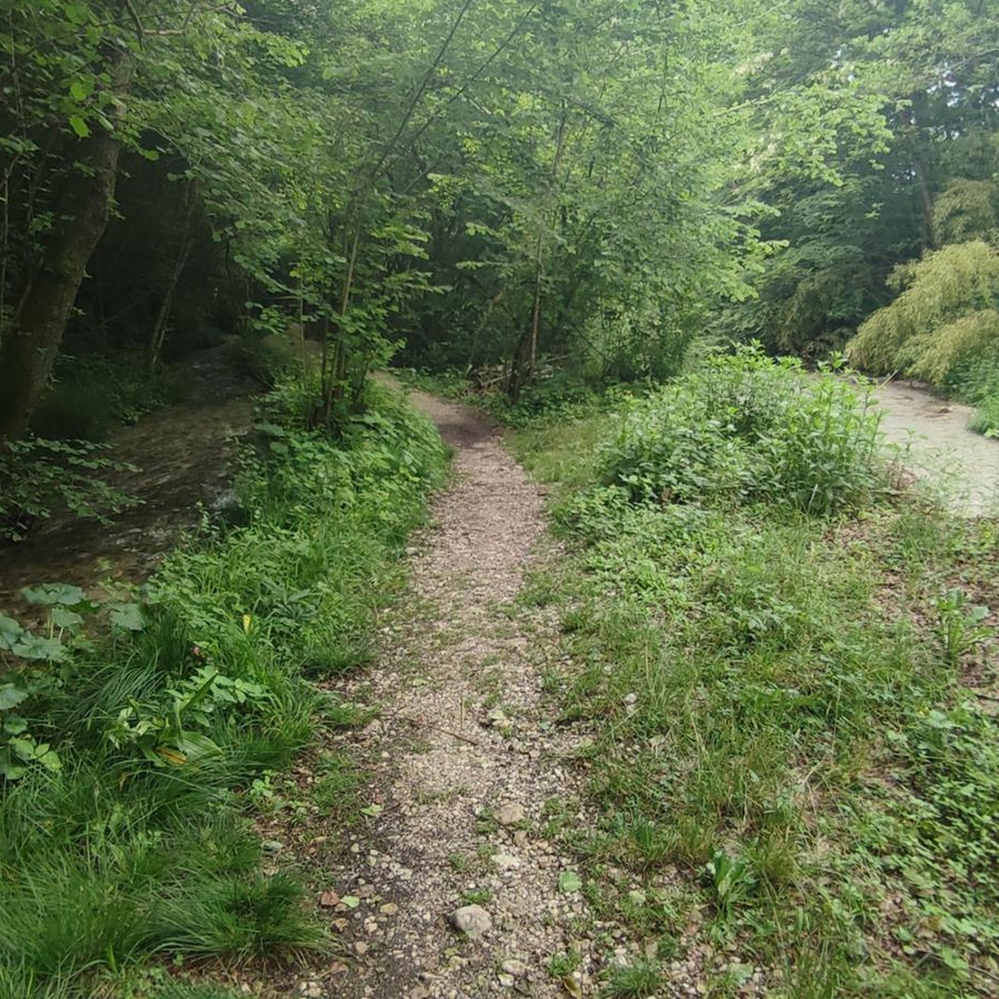
Tips from the Community

beautiful view and nice trail, comfortable to reach both by MTB and on foot
0
0

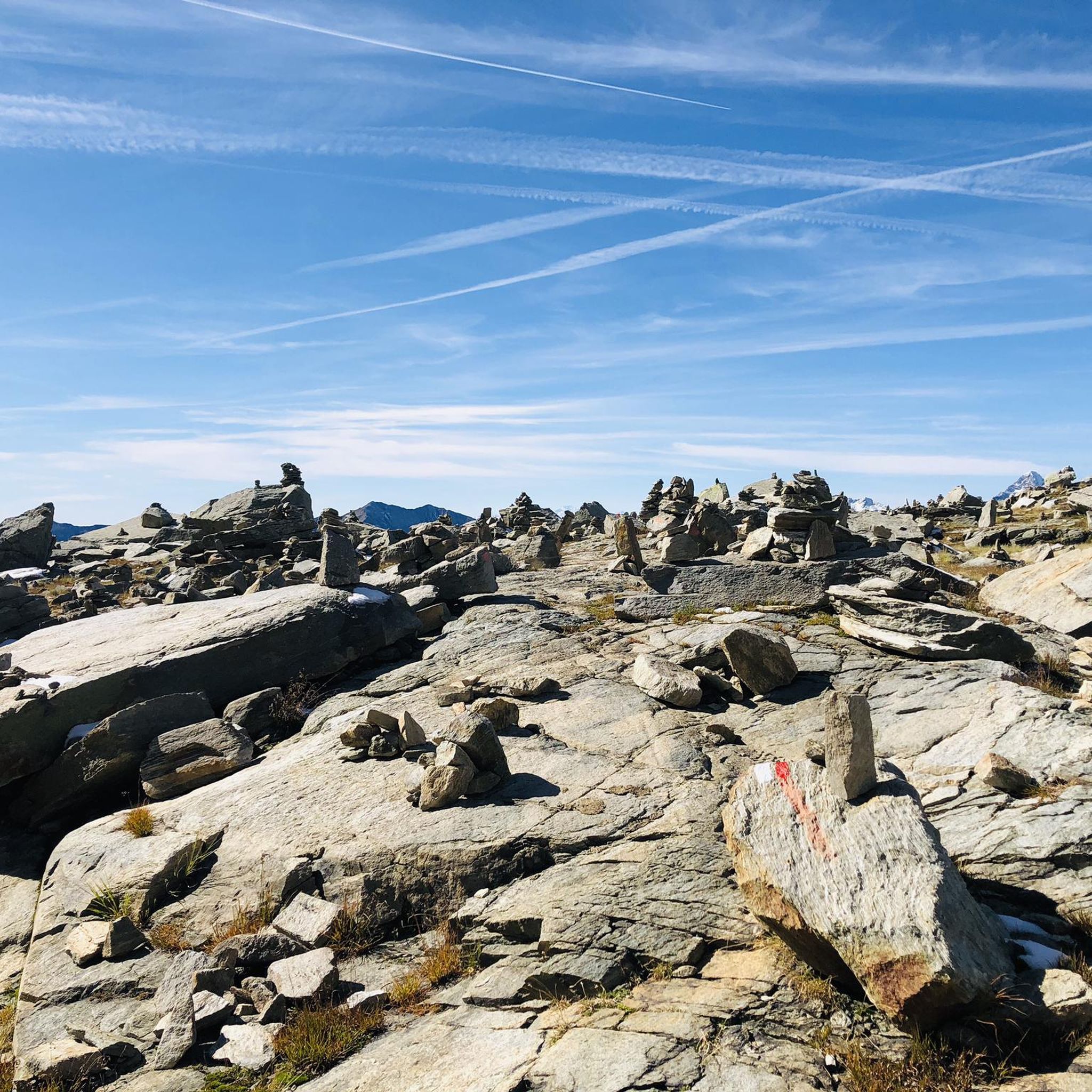
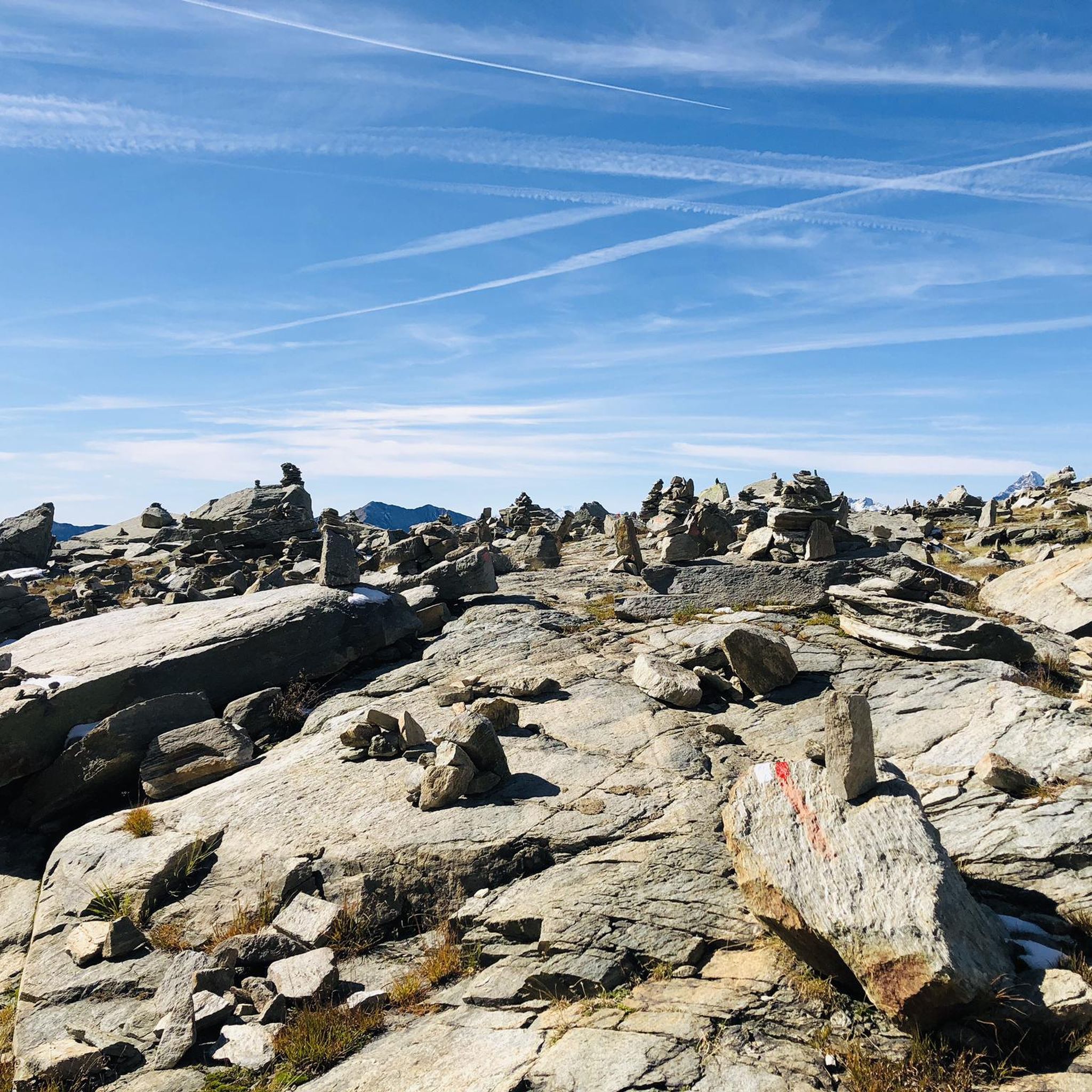
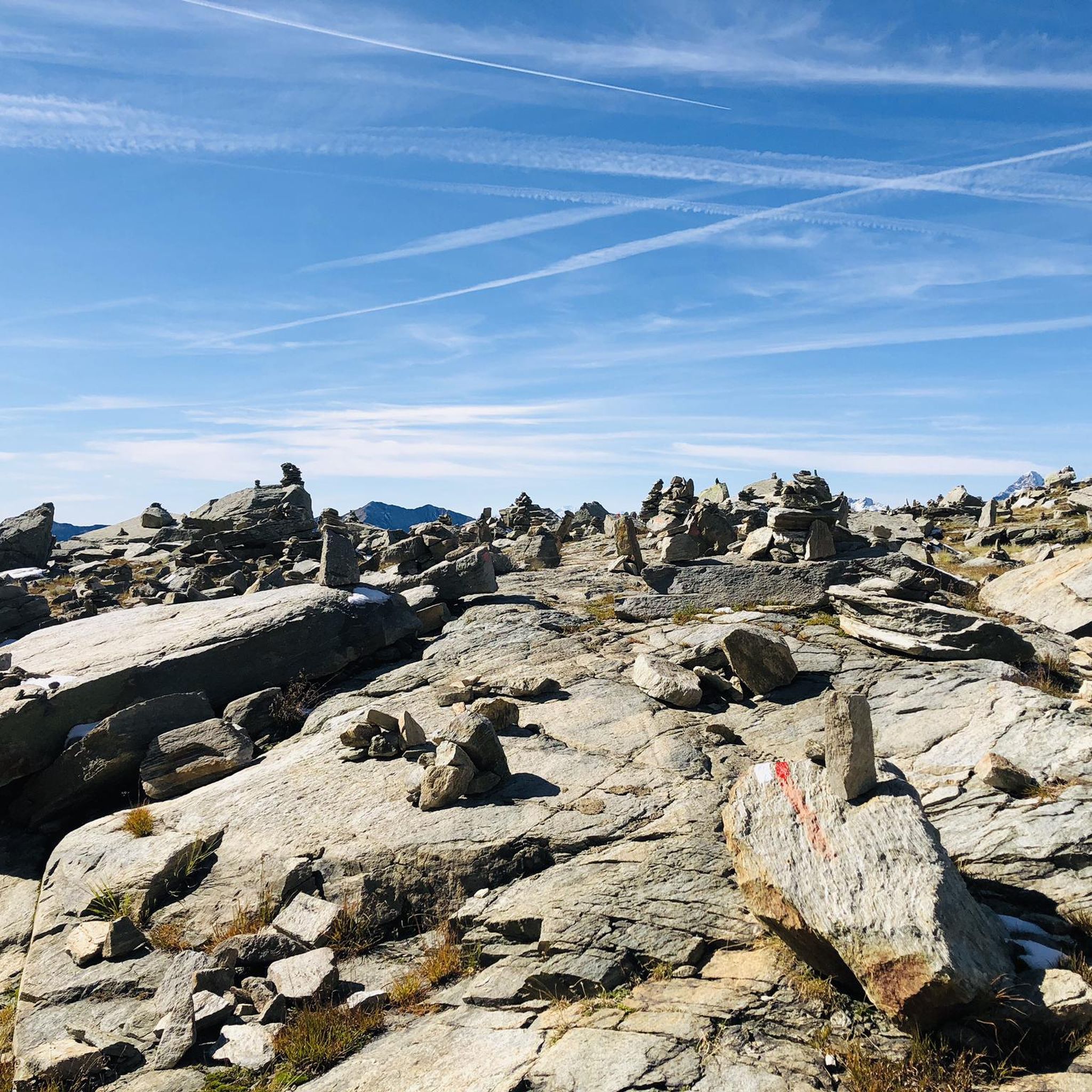
The **Passo (or Bocchetto) di Bocchetto Sessera is an alpine pass located in the Biella Alps, in the Province of Biella (Piedmont, Italy). It connects the Valle dello Strona di Mosso with the Val Sessera, between the mountains Monte Marca (1,558 m) and Monticchio (1,697 m).
14
0
The Monument to Pietro Micca is a celebratory and historical-patriotic work located in the municipality of Sagliano Micca, in the province of Biella (Piedmont).
14
0


Pietro Micca's birthplace
1
2

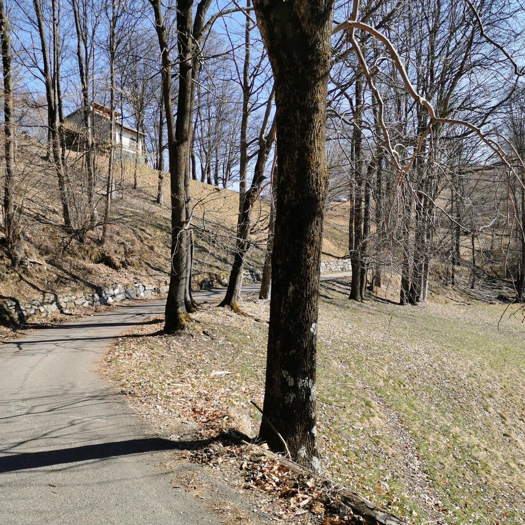
Main entrance to the Oasi Zegna, from which many paths start, including the "Bosco del Sorriso" path and others
2
0
refuge - mountain pasture in the homonymous location. An e-bike charging point is available free of charge
1
1
monument in Sagliano Micca dedicated to Pietro Micca, work of the architect Giuseppe Maffei
1
2
Frequently Asked Questions
How many running routes are available around Tavigliano?
There are over 10 dedicated running routes around Tavigliano, offering a variety of experiences for different fitness levels. These routes are highly rated by the komoot community, with an average score of 4.5 stars.
What kind of terrain can I expect on the jogging trails near Tavigliano?
The terrain around Tavigliano is quite diverse, characterized by mountainous landscapes, verdant valleys, and established trail networks. You'll find a mix of inclines and descents, passing through diverse forests, expansive mountain views, and picturesque wildflower meadows. Streams like the Sessera and Cervo also add to the natural beauty of the routes.
Are there running routes suitable for beginners in Tavigliano?
While many routes in Tavigliano are rated as difficult due to the mountainous terrain and significant elevation changes, there are options that can be adapted for different fitness levels. It's advisable for beginners to choose shorter distances and routes with less elevation gain, or to walk sections as needed. Currently, the guide lists 1 moderate route and 9 difficult routes, so careful selection based on your fitness is recommended.
What are the typical elevation changes on running trails in the Tavigliano area?
Running trails in Tavigliano often feature significant elevation changes, reflecting the region's mountainous character. For example, routes like the Val Sessera - Ring Tour involve over 360 meters of ascent, while others can have elevation gains up to 3,000 feet or more, providing a challenging workout for runners.
When is the best time of year to go running in Tavigliano?
The diverse natural landscape of Tavigliano makes it appealing for running across multiple seasons. Spring and autumn offer pleasant temperatures and vibrant scenery, with wildflower meadows in bloom during spring and colorful foliage in autumn. Summer is also great, especially for higher altitude routes. For those interested in winter running, the region's well-developed network of paths, including those around Bocchetto di Sessera, are also used for cross-country skiing, suggesting possibilities for winter activities, though conditions should be checked.
Can I find circular running routes in Tavigliano?
Yes, Tavigliano offers several excellent circular running routes. A popular option is the Val Sessera - Ring Tour, which is 6.8 miles (10.9 km) long and explores the scenic Val Sessera. Another great choice is the Artignaga Huts, Valsessera loop from Falletti, covering 12.7 km with significant elevation.
Are the running trails around Tavigliano dog-friendly?
Many trails in natural areas like Tavigliano are generally dog-friendly, especially those through forests and valleys. However, it's always recommended to keep dogs on a leash, especially in areas with wildlife or near livestock, and to check local regulations for specific trails or protected areas like Oasi Zegna. Ensure your dog is fit enough for the elevation changes.
What natural features or scenic viewpoints can I expect to see while running near Tavigliano?
Runners in Tavigliano can enjoy a wealth of natural beauty. You'll encounter diverse forests, expansive mountain views, and picturesque wildflower meadows, particularly within the nearby Oasi Zegna. Trails also offer panoramic views of the Biellese Alps, especially from points like the Bocchetto Sessera Pass. The presence of streams like the Sessera and Cervo adds to the tranquil scenery.
Are there any interesting landmarks or attractions near the running routes in Tavigliano?
Yes, several interesting landmarks and attractions are accessible near the running routes. You can find the historic Oropa Sanctuary, a significant religious building. The Bocchetto Sessera Pass itself is a notable mountain pass and a key departure point for many trails. Other points of interest include the Ricetto of Candelo, a medieval fortified village, and the Three-arch bridge on the disused Biella-Oropa tramway.
What do other runners enjoy most about jogging in Tavigliano?
The running routes around Tavigliano are highly rated by the komoot community, with an average score of 4.5 stars from over 80 reviews. Runners frequently praise the diverse natural landscape, the challenging yet rewarding mountainous terrain, and the opportunity to explore verdant valleys and forests. The variety of trails catering to different ability levels is also a highlight, with over 5,700 runners having used komoot to explore the area.
Are there any routes that offer views of Monticchio or Cima di Bo?
Yes, the region's mountainous terrain includes peaks like Monticchio and Cima di Bo. The Monticchio – Colma Bella loop from Bocchetto Sessera is a 5.8 km route that offers views towards Monticchio, providing a challenging run with rewarding vistas of the surrounding landscape.
Are there any running routes that pass through Oasi Zegna?
Yes, the Oasi Zegna is a significant natural attraction nearby, featuring diverse forests, expansive mountain views, and picturesque wildflower meadows. While specific routes within this guide might not directly enter the Oasi, trails in the area, such as the moderate 6.5-mile Anello Mühlhan Forest Loop (mentioned in regional research), offer splendid opportunities for joggers to immerse themselves in nature within this beautiful area.
Most popular routes around Tavigliano
Most popular attractions around Tavigliano

Get inspired with the komoot mobile app


Explore more
Browse the best Running Trails & Routes in other regions.
