The 20 Most Amazing Peaks around Crevacuore
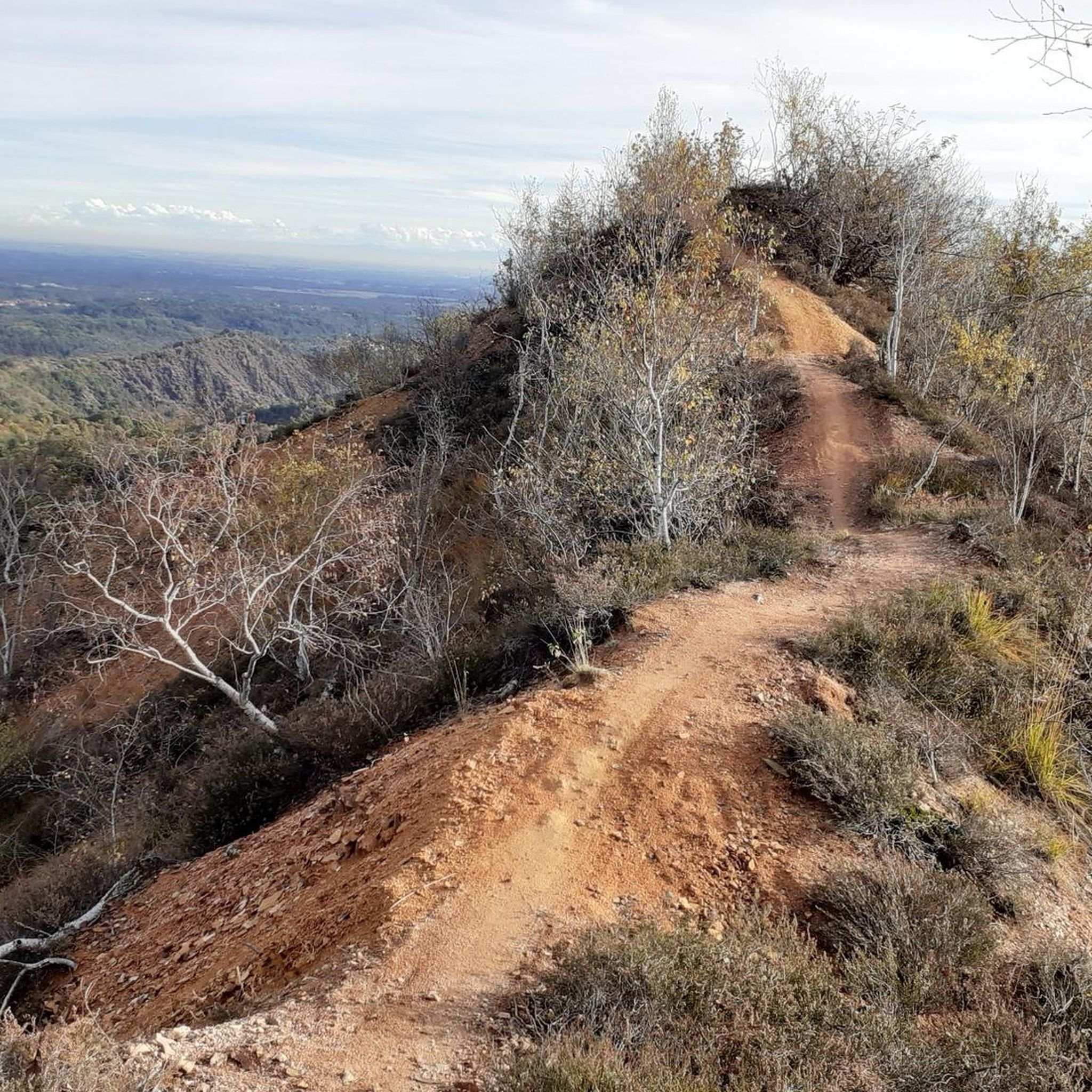
Best mountain peaks around Crevacuore are found in the mountainous region of Piedmont, Italy, offering extensive hiking opportunities within the Biellese Prealps. The area features diverse landscapes, including mountainous terrain, alpine pastures, and dense forests. This environment provides a range of experiences for outdoor enthusiasts seeking to explore the natural features of the region.
Best mountain peaks around Crevacuore
- The most popular mountain peaks is Summit of Monte Barone, a summit that reaches a height of 2044 meters. This peak dominates the Sessera valley and the Strona di Postua valley, offering panoramic views of the entire alpine chain and the Po plain.
- Another must-see spot is Monte Fenera summit and summit cross, a summit located at 899 meters. Visitors can expect a beautiful panorama that opens onto Valsesia, with views extending to the magnificent Monte Rosa.
- Visitors also love Bocchetto Sessera Pass, a mountain pass at about 1400 meters. This point connects the Strona valley with the Sessera valley and serves as a very panoramic base for Monte Marca.
- Crevacuore is known for its challenging summits, scenic mountain passes, and diverse viewpoints. The variety of mountain peaks to see and explore caters to different skill levels, from intermediate trails to more demanding ascents.
- The mountain peaks around Crevacuore are appreciated by the komoot community, with over 230 upvotes and 81 photos shared by visitors.
Last updated: May 11, 2026
Bocchetto Sessera Pass
Highlight • Mountain Pass
Showing Translation
Tip by

Monte Fenera summit and summit cross
Highlight • Summit
Translated by Google •
Tip by

Sign up now to discover places like this
Get recommendations on the best single tracks, peaks, & plenty of other exciting outdoor places.
Sign up for free
Bec d'Ovaga
Highlight • Summit
Translated by Google •
Tip by

Rifugio Spanna-Osella
Highlight • Mountain Hut
Translated by Google •
Tip by

Summit of Monte Barone
Highlight • Summit
Translated by Google •
Tip by

Sign up for free to discover even more peaks around Crevacuore.
Sign up for free
Already have an account?
Start today with a free account
Your next adventure awaits.
Login or Signup

Tips from the Community

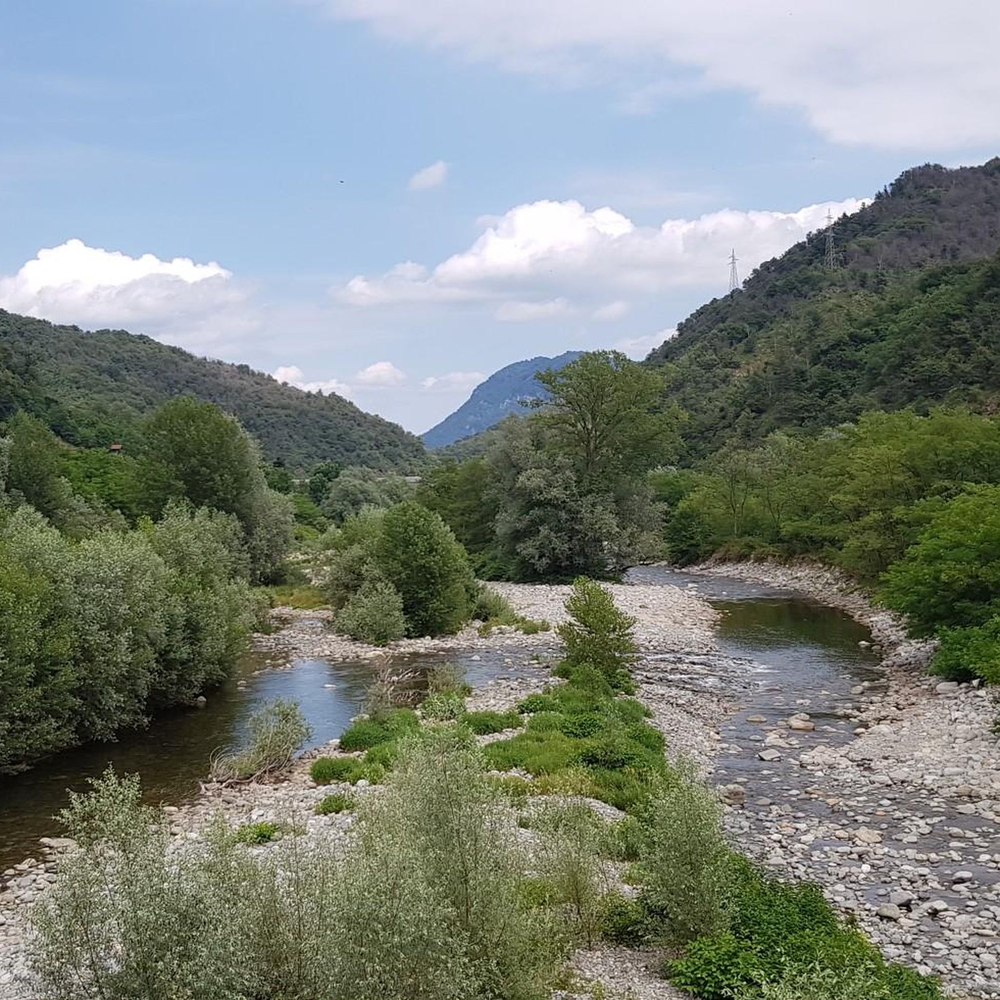
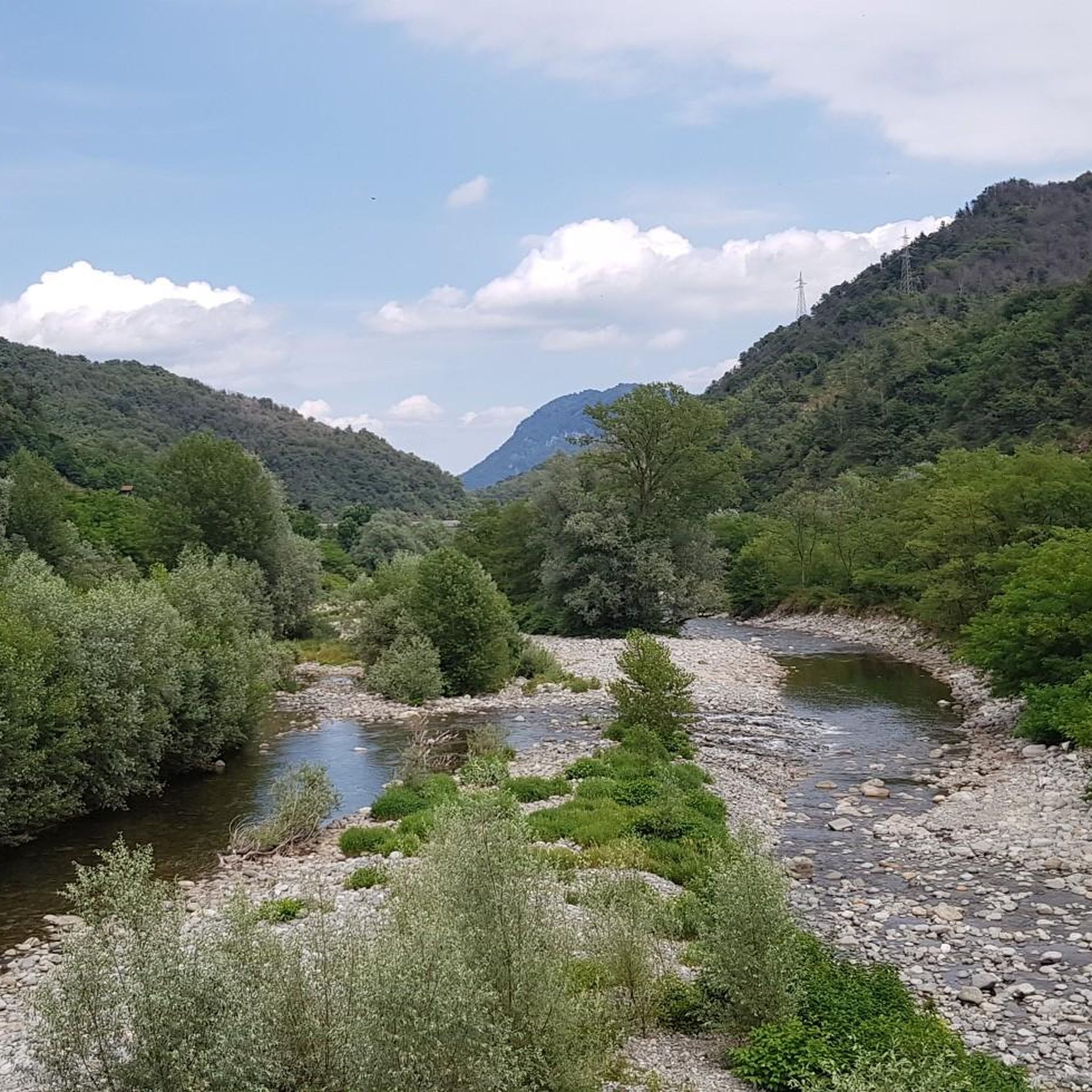
The **Passo (or Bocchetto) di Bocchetto Sessera is an alpine pass located in the Biella Alps, in the Province of Biella (Piedmont, Italy). It connects the Valle dello Strona di Mosso with the Val Sessera, between the mountains Monte Marca (1,558 m) and Monticchio (1,697 m).
9
0

Chapel, refuge and on the left, the white dot, is the summit cross.
0
0

Summit.... Breathtaking view
0
0

small chapel with a cross at the top
0
0

Main entrance to the Oasi Zegna, from which many paths start, including the "Bosco del Sorriso" path and others
1
0

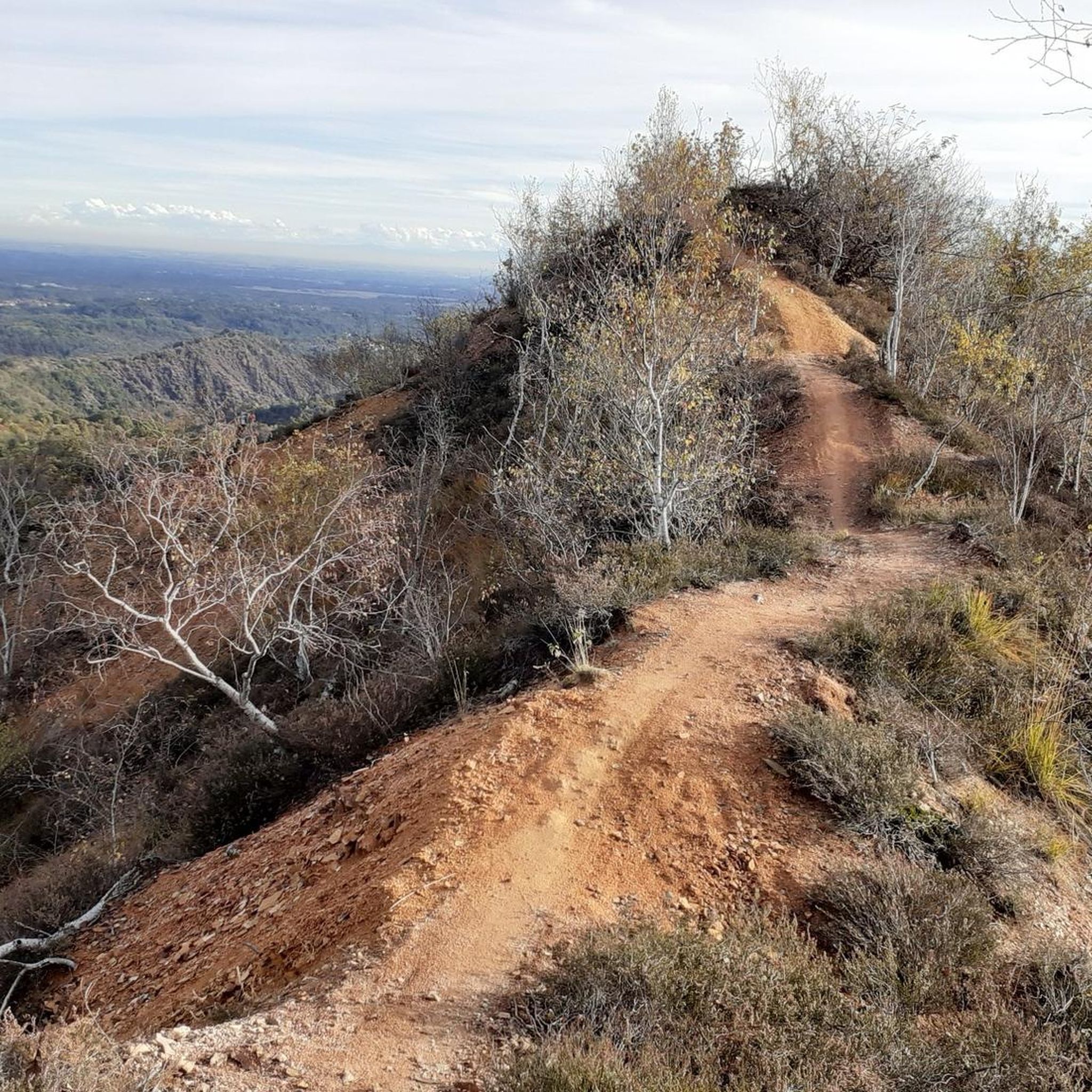
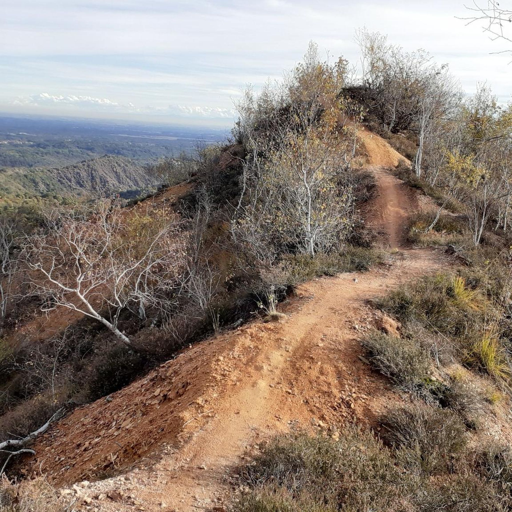
My favorite route for both "training" climbs (when I was young) and, more frequently, to enjoy a climb all through the woods, therefore bearable even in July-August, with the arrival at the refuge that instead opens up to the eyes an unexpected panorama over a good stretch of the lower Valsesia. The climb to the summit, behind the refuge, then reveals, on clear days, M. Rosa and many other peaks. I tried two excursions, starting from the refuge. The first, continue to sella Vazzosa (short exposed sections, be very careful!) and then to Massale, then always on a trail on the crest to Castello del Gavala, there be very careful for short exposed sections and to find the right passage to descend from the summit to the path just below that will lead to Luotto and finally to Tovo or even just to sella Rosetta, and then go to the Gilodi-Ca'Mea refuge. Many km and altitude difference (1700 m approx.), to be organized in company and with two cars, one in Casavei and the other in Ca' Mea, with a lot of necessary training. An easier tour of approx. 1050 m of altitude difference, but which requires a good sense of direction, maps and GPS, is to go down the southern ridge in front of the Spanna refuge, always continue without going down the sides, paying attention to some rare paint on the trunks, until you come across a dirt road at an altitude of 1250, at the hairpin bend, not far from Alpe Passarina. From there the dirt road leads to Sella di Parone and finally to Casavei, altitude difference reduced to approx. 850 m. But at that storm the adventure becomes beautiful by leaving the dirt road and taking a path, always vs. south and remaining on the crest (wooded), which leads below partly maintained and partly ruined mountain pastures, first to Arcacce, from which you leave the crest to turn left and then find Tereggia, Pometto, Uccello alps, descending to the dirt road of Pra Personale that leads to Locarno, from there go back up to Casavei, and it is this climb to Casavei/Narpone that brings the difference in altitude to about 1050-1060 m Almost absolutely to be done with those who have already done this descent as it is easy to get lost. I did it and discovered it a first time with a few mistakes and retraced my steps to then find the right passages, all easy and always on wooded slopes, since then I have memorized it and once every year or two it gives me great satisfaction to do this ring again. Get a Geo4Map map n.2
0
0
I don't count the times... everything is easy, pay attention from the refuge to the summit, a few meters here and there of steep rock, no stumbling or getting distracted, very dangerous. Done well, however, it is for everyone. I have done the return trip several times along the southern ridge, right in front of the refuge, rare signs for almost 400 meters of altitude difference, stay on the ridge on the back of the ridge until you exit at 1250 meters of altitude on the road that ends on the right at Alpe Passarina and on the left goes down to Selle di Parone and further on to Casavei. Instead of going down the road, I have taken the path several times (on the hairpin bend where it comes out) that, here too, staying on the back of the ridge, turning left when it ends, and paying attention to the few signs on the plants, goes down to the ancient Arcacce Alps, then Pometto (ruins), Uccello (ruins), Pra, where the dirt road begins and some renovated farmhouses, then Parone etc.
1
0
Of this mountain, after well over a hundred climbs, I know all the sides, it's a shame that some of the slopes inside the Val Sessera, e.g. the one for Rattarun and then Alpe Boscoso then climbing to Navagli and Alpe Campo and Cima ... are, for some stretches in the lower valley, a bit swallowed up by vegetation. The normal route from Ciota to the refuge is very popular, but for example the descent via Spelonca-Cascinetta still offers a nice ring that is more "wild" and very little frequented.
1
0
Frequently Asked Questions
What are some of the most notable mountain peaks and passes around Crevacuore?
The region offers several prominent points of interest. Among them is Summit of Monte Barone, the highest peak in the eastern Biella province at 2044 meters. Another significant spot is Monte Fenera summit and summit cross, standing at 899 meters. You can also explore Bocchetto Sessera Pass, a panoramic mountain pass at about 1400 meters, and Bec d'Ovaga, known for its exceptional views.
What kind of panoramic views can I expect from the mountain peaks in the Crevacuore area?
From the summit of Monte Barone, you can enjoy panoramic views of the entire alpine chain and the Po plain. Monte Fenera offers a beautiful panorama of Valsesia, extending to the magnificent Monte Rosa. Similarly, Bec d'Ovaga provides exceptional views over Valsesia, the eastern side of Monte Rosa, and even distant lakes like Orta and Maggiore on clear days.
Are there challenging hikes for experienced trekkers near Crevacuore?
Yes, several peaks offer challenging experiences. The ascent to the Summit of Monte Barone involves crossing dense woods and climbing steep steps, providing a rewarding challenge. The final stretch to Monte Fenera summit is described as very hard, testing your physique with steep gradients. The route to Bec d'Ovaga also includes steep rock sections near the summit that require careful attention.
What natural features characterize the mountain terrain around Crevacuore?
The region is defined by its diverse mountainous terrain, featuring extensive alpine pastures (alpeggi) and dense forests. These elements create a varied landscape, from challenging climbs through wooded areas to open, panoramic summits.
What outdoor activities are available in the Crevacuore mountain region besides peak bagging?
Beyond hiking to summits, the area around Crevacuore is excellent for various outdoor pursuits. You can find numerous routes for gravel biking, including challenging loops like the Bocchetto Sessera Pass – Alpe di Mera. There are also dedicated running trails and scenic road cycling routes, such as the Alpe Noveis Loop.
Are there any specific trails or routes recommended for hiking in the Crevacuore area?
Yes, the region offers a network of trails. A section of the Grande Traversata del Biellese starts from Crevacuore, passing through Ailoche and Alpe Sparavera on its way to Monte Barone. Another local favorite is the path from Ailoche to Crevacuore, which winds through thick forests along the ridge of Colle Ramelle. For more detailed information on longer routes, you can explore resources like the Grande Traversata del Biellese.
What is the best time of year to hike the mountain peaks around Crevacuore?
The mountainous region of Piedmont, including Crevacuore, generally offers excellent hiking conditions from late spring through early autumn. During these months, the weather is typically milder, and trails are more accessible. While winter hiking is possible, some routes may require specialized equipment like crampons due to ice and snow, especially at higher elevations.
Are there any historical or cultural landmarks on the mountain trails near Crevacuore?
Yes, along the route to Monte Barone, you can find a chapel built by Italian Alpine troops at the top of a hill, offering excellent views. Additionally, the Monte Fenera summit features a summit cross, which is a common religious landmark on Italian peaks.
What is the highest peak accessible from Crevacuore?
The highest peak easily accessible from Crevacuore is Monte Barone, which reaches an elevation of 2044 meters. It is the highest point in the eastern part of Biella province and offers extensive views.
What do visitors enjoy most about the mountain peaks around Crevacuore?
Visitors frequently appreciate the challenging nature of the summits and the rewarding panoramic views. The diverse landscapes, from dense forests to alpine pastures, also contribute to a varied and engaging outdoor experience. The komoot community has shared over 81 photos and given more than 230 upvotes, highlighting the area's scenic beauty and appeal.
Are there any mountain huts or refuges available for hikers in the area?
Yes, for those exploring the Bec d'Ovaga area, the Rifugio Spanna-Osella provides a place to rest and refresh. It's advisable to check if it's open before your excursion if you plan to stop there.
Most popular routes around Crevacuore
Most popular attractions around Crevacuore

Get inspired with the komoot mobile app


Explore more
See even more amazing summits around Crevacuore with these guides:
