The best walks and hikes around Sordevolo
4.4
(256)
1,380
hikers
27
hikes
Hiking around Sordevolo offers access to the foothills of the Biellese Prealps, characterized by varied elevations and forested slopes. The region features trails leading to prominent peaks like Monte Mucrone and Mont Bechit, providing views of the surrounding valleys. Hikers can expect a mix of challenging ascents and paths connecting historical and natural landmarks. The landscape includes dense woodlands and open mountain terrain, suitable for different hiking experiences.
Best hiking trails around Sordevolo
- The most popular hiking route is Oropa…
Last updated: June 24, 2026
4.3
(6)
24
hikers
13.3km
05:58
1,320m
1,320m
Hard hike. Very good fitness required. Mostly accessible paths. Sure-footedness required.
9.58km
04:57
1,200m
1,200m
Hard hike. Very good fitness required. Mostly accessible paths. Sure-footedness required.

Sign up for free
4
hikers
18.4km
06:37
1,080m
1,080m
Hard hike. Very good fitness required. Easily-accessible paths. Suitable for all skill levels.
7.56km
02:59
540m
540m
Moderate hike. Good fitness required. Easily-accessible paths. Suitable for all skill levels.
7.93km
03:40
830m
830m
Moderate hike. Good fitness required. Easily-accessible paths. Suitable for all skill levels.
Get access to more routes and recommendations from other explorers.
Sign up for free
Already have an account?
Our route recommendations are based on thousands of hikes, rides, and runs completed by other people on komoot.
Start today with a free account
Your next adventure awaits.
Login or Signup
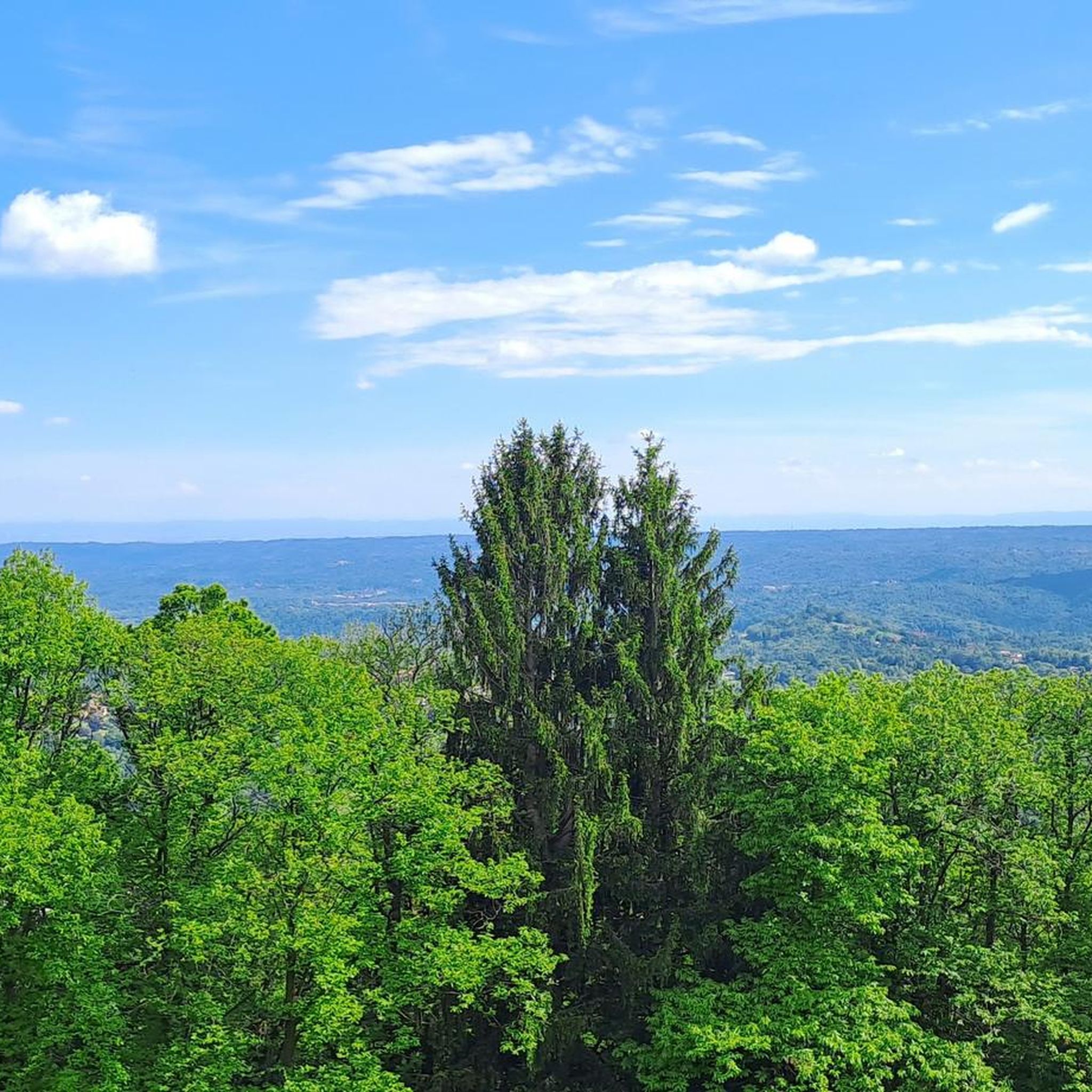
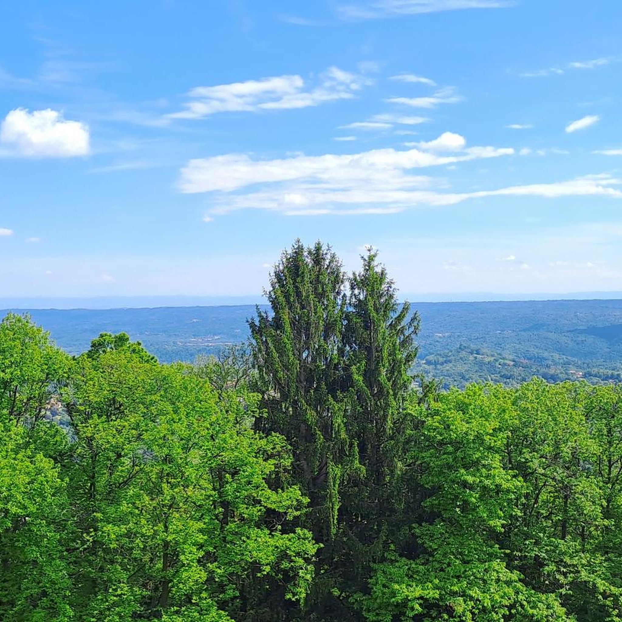
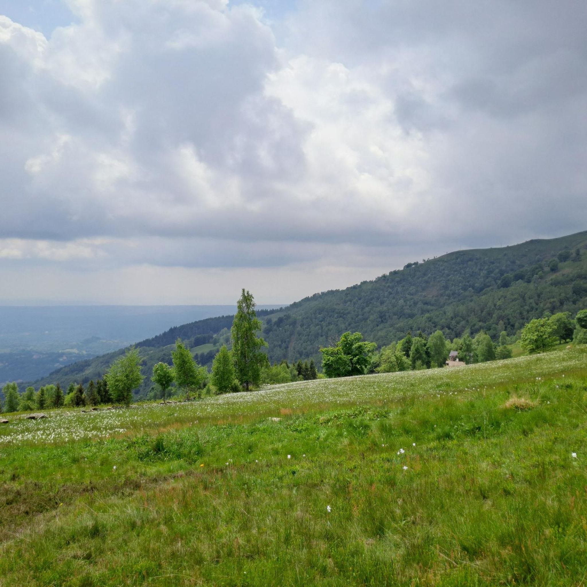
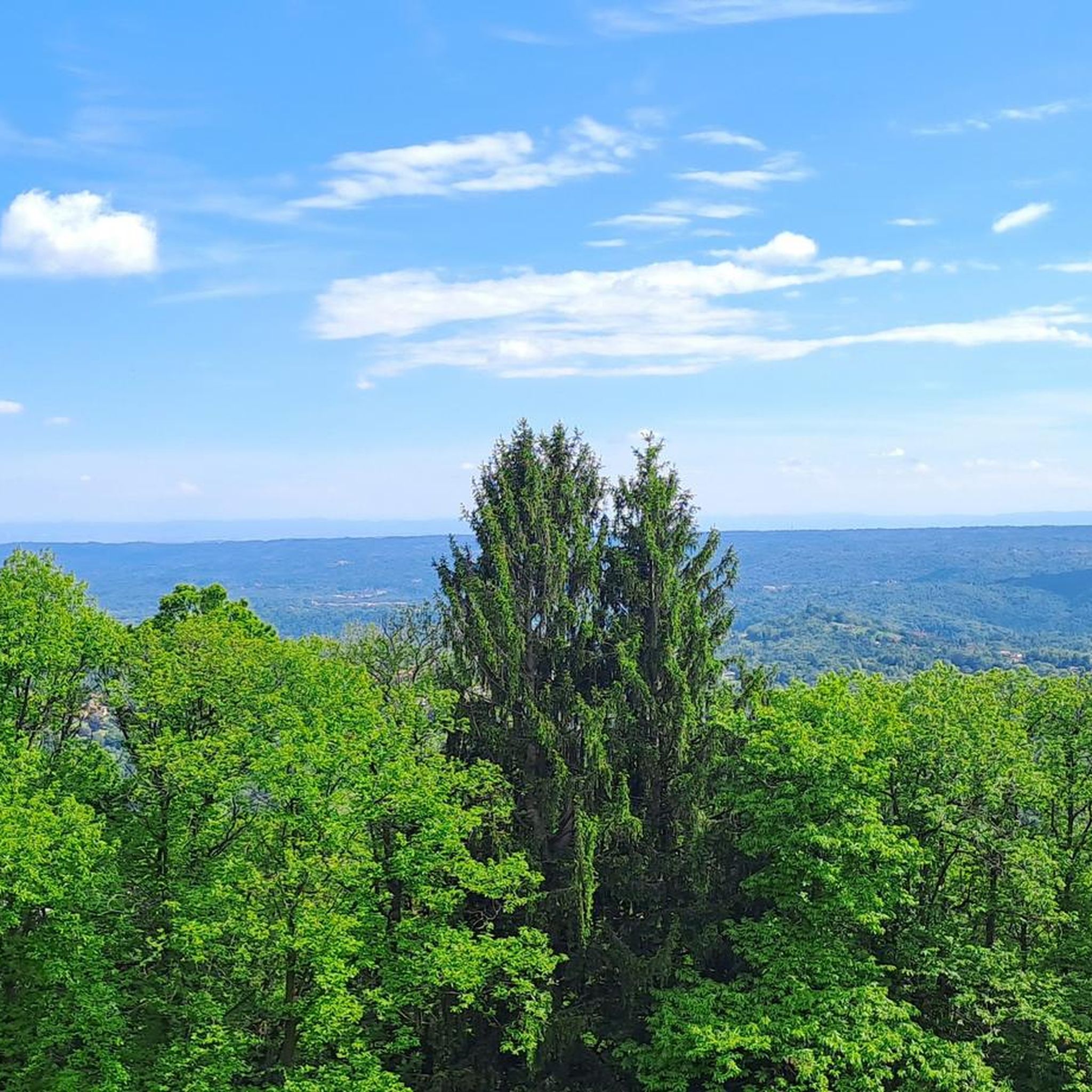


Tips from the Community


Commissioned by the Gruppo Escursionitico de 'L Piumin and is the work of the Biella artist "Sandrun" and placed in Bagneri on October 8, 2000
1
0


Absolutely avoid the descent to Bosoni on C15b. The steep path disappears into the woods among the ferns, blue signs on the trees lead astray. The track is found only at another sign over 100m of altitude further down.
0
0


A very panoramic peak, from Oropa sport it takes only an hour's walk to reach it; the path is quite steep but feasible by anyone, without major dangers.
3
0
Frequently Asked Questions
How many hiking trails are available around Sordevolo?
There are over 20 hiking routes documented on komoot around Sordevolo, catering to various skill levels. This includes 4 easy, 14 moderate, and 6 difficult trails, offering a wide range of options for exploration.
Are there any easy or short walks suitable for beginners or families in Sordevolo?
Yes, Sordevolo offers several easier options. There are 4 routes classified as easy, perfect for beginners or families looking for a less strenuous experience. These trails typically feature gentler inclines and shorter distances, allowing for a relaxed outing in the foothills of the Biellese Prealps.
What kind of views can I expect on hikes around Sordevolo?
Hiking around Sordevolo offers diverse views, from dense woodlands to open mountain terrain. Many trails lead to panoramic viewpoints, especially those ascending towards peaks like Monte Mucrone. You can expect vistas of the surrounding valleys and the Biellese Prealps. For specific scenic spots, consider exploring highlights like Panoramica Zegna, which offers expansive views.
Are there any circular hiking routes in Sordevolo?
Yes, Sordevolo features several circular routes. One notable option is the Mont Bechit Loop, a moderate 7.9 km trail that allows you to return to your starting point without retracing your steps, offering varied scenery throughout.
What is the best time of year to go hiking in Sordevolo?
The best time for hiking in Sordevolo is generally from late spring through early autumn (May to October). During these months, the weather is typically mild, and the trails are clear of snow, providing optimal conditions for enjoying the region's natural beauty. Autumn also offers stunning foliage.
Are there any challenging hikes for experienced trekkers?
Absolutely. Sordevolo is known for its challenging ascents, particularly towards prominent peaks. Routes like the Oropa to Monte Mucrone Trail (13.3 km with significant elevation gain) and the From Santuario di Graglia to Muzzano (via Trail C31) (18.4 km) are classified as difficult and offer demanding experiences for seasoned hikers.
What do other hikers say about the trails in Sordevolo?
The hiking trails in Sordevolo are highly regarded by the komoot community, holding an average rating of 4.4 out of 5 stars from over 220 reviews. Hikers often praise the diverse terrain, the well-maintained paths, and the rewarding panoramic views from higher elevations.
Are there any interesting landmarks or attractions near the hiking trails?
Yes, the Sordevolo area is rich in natural and historical points of interest. While hiking, you might encounter mountain passes like Bocchetto Sessera Pass or Passo dell'Oca. The region also features various shelters and crosses, such as Colle della Barma — Shelter and Cross, offering historical context and rest stops.
Is public transport available to reach the trailheads in Sordevolo?
While Sordevolo itself is accessible by local bus services from Biella, reaching specific trailheads in the more mountainous areas often requires a car. Some popular starting points, like Oropa, are better connected, but for flexibility, especially for longer or more remote routes, personal transport is recommended.
Are there any moderate hikes suitable for a full day out?
Yes, Sordevolo offers several moderate hikes that are perfect for a full day's adventure. The Poggio Frassati Trail from Tracciolino is a moderate 7.6 km route, typically taking around 3 hours, which can be extended with exploration of the surrounding area. The Mont Bechit Loop is another excellent moderate option, spanning 7.9 km and offering varied terrain.
Can I find places to eat or have a coffee near the hiking trails?
Yes, especially near popular starting points or villages. The Sanctuary of Oropa, a significant pilgrimage site and a common trailhead, has several restaurants and cafes. In Sordevolo itself, you'll find local eateries. It's always a good idea to check opening times, especially outside peak season.
Are there any specific considerations for winter hiking in Sordevolo?
Winter hiking in Sordevolo is possible but requires appropriate gear and experience. Higher elevation trails, especially those leading to Monte Mucrone, can be covered in snow and ice, necessitating snowshoes or crampons. Lower-lying routes might be accessible, but always check local conditions and weather forecasts before heading out.
Most popular routes around Sordevolo
Most popular attractions around Sordevolo

Get inspired with the komoot mobile app


Explore more
Browse the best Hikes in other regions.
