The best walks and hikes around Cossombrato
4.3
(328)
1,477
hikers
205
hikes
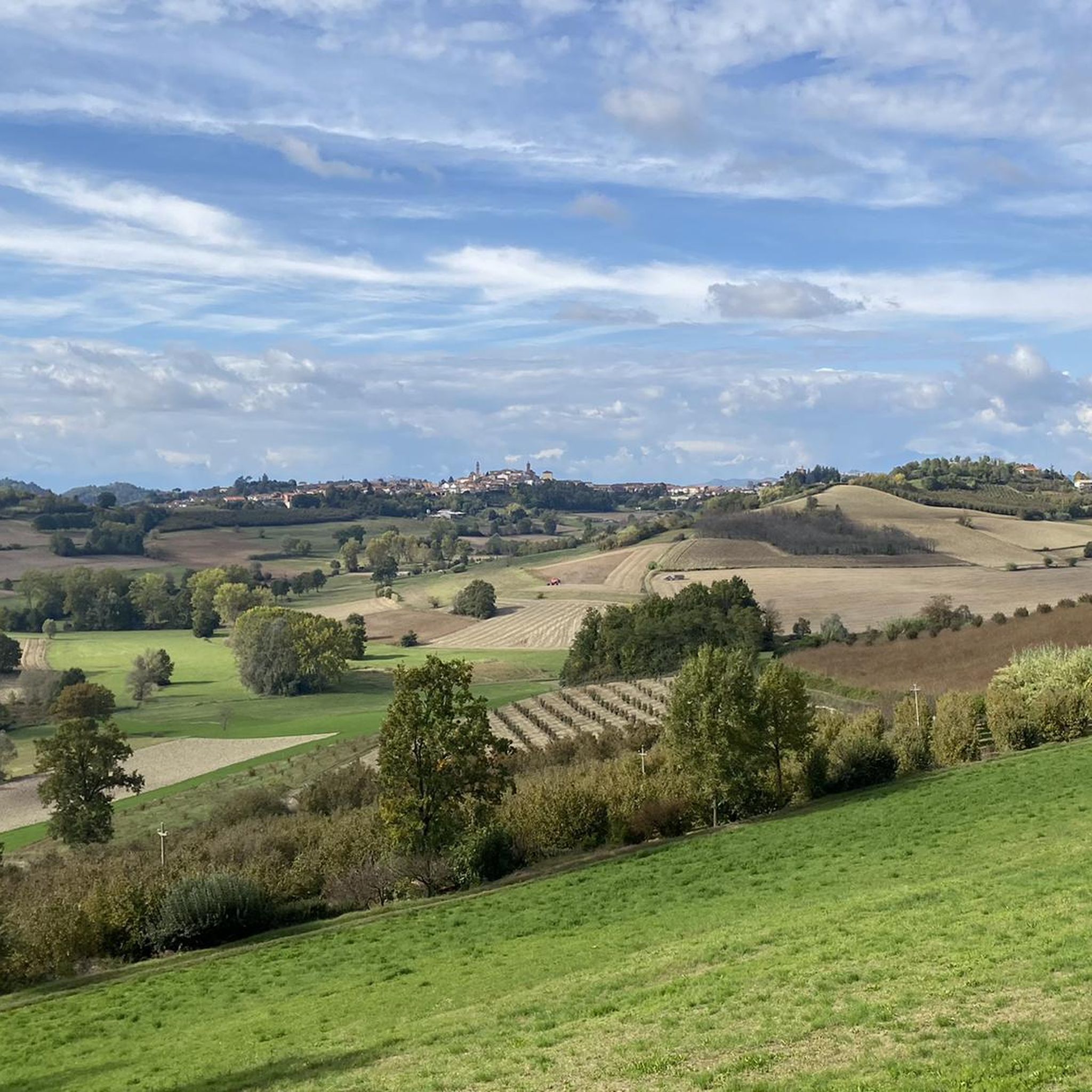
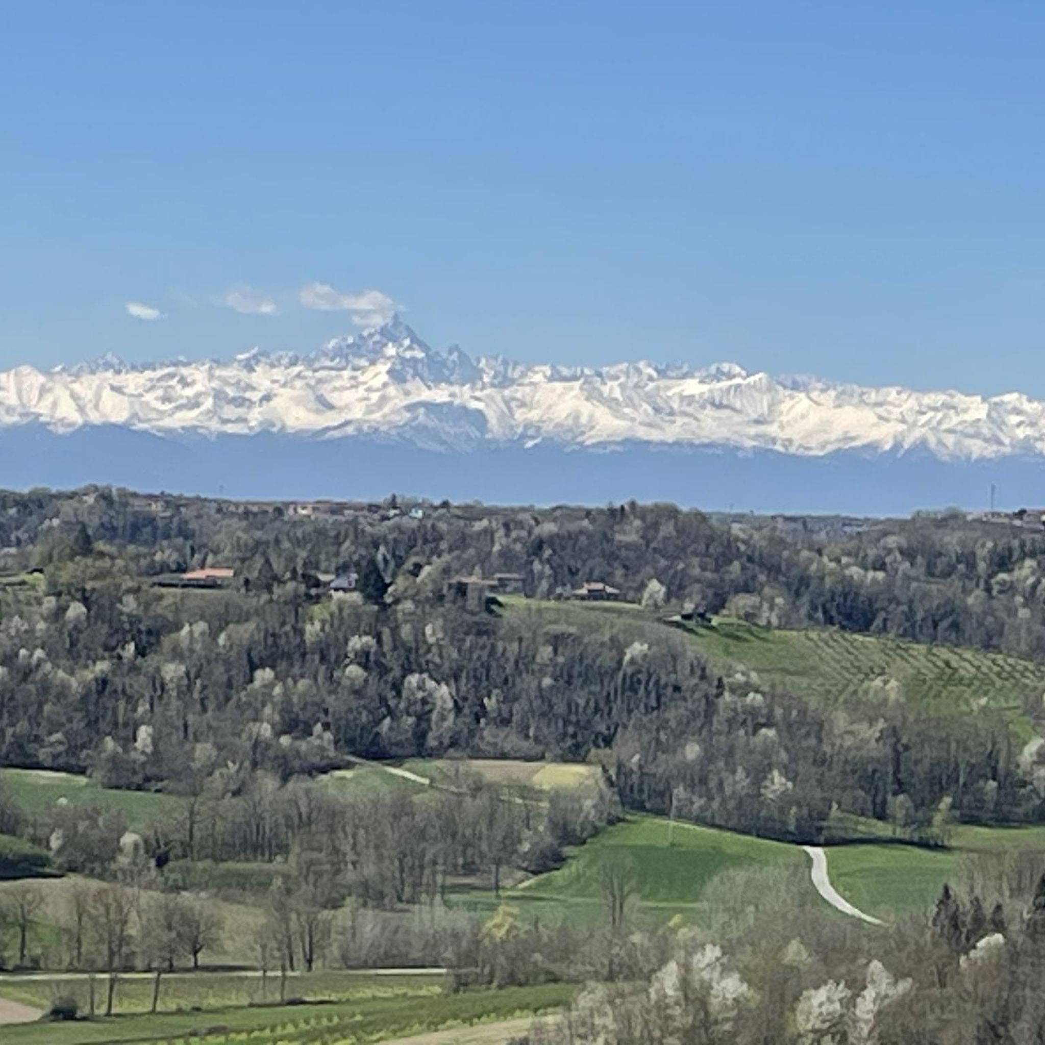
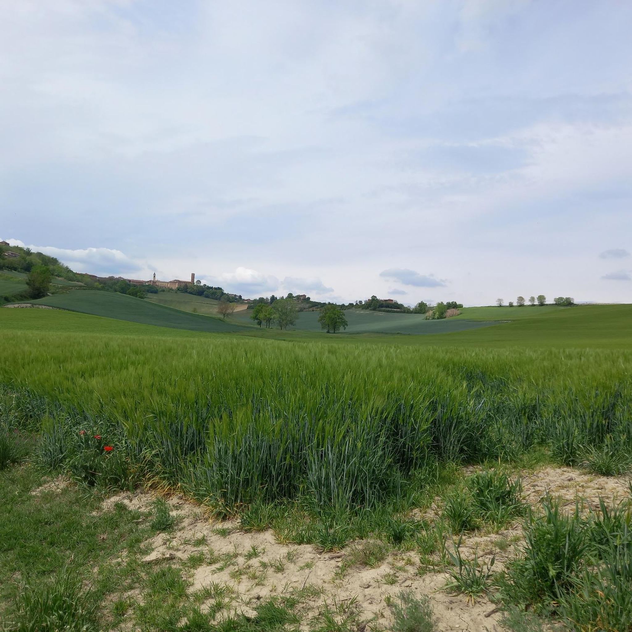
Hiking around Cossombrato offers exploration through the Monferrato Hills, a landscape characterized by gentle slopes, extensive vineyards, and rural environments. The region features a mix of woods, fields, and hills, providing varied terrain for outdoor activities. Hikers can find routes traversing these natural features, often with views of the surrounding countryside. This area provides a blend of scenic beauty and cultural heritage for those exploring on foot.
Best hiking trails around Cossombrato
- The most popular hiking route is Cappella di…
Last updated: May 12, 2026
8.74km
02:23
130m
130m
Moderate hike. Good fitness required. Easily-accessible paths. Suitable for all skill levels.
4.3
(4)
15
hikers
3.78km
01:06
100m
100m
Easy hike. Great for any fitness level. Easily-accessible paths. Suitable for all skill levels.

Sign up for free
4.0
(6)
9
hikers
Easy hike. Great for any fitness level. Easily-accessible paths. Suitable for all skill levels.
4.4
(7)
18
hikers
8.36km
02:20
170m
170m
Moderate hike. Good fitness required. Easily-accessible paths. Suitable for all skill levels.
5.0
(1)
9
hikers
8.26km
02:19
170m
170m
Moderate hike. Good fitness required. Easily-accessible paths. Suitable for all skill levels.
Get access to more routes and recommendations from other explorers.
Sign up for free
Already have an account?
Our route recommendations are based on thousands of hikes, rides, and runs completed by other people on komoot.
Start today with a free account
Your next adventure awaits.
Login or Signup


Tips from the Community

Unfortunately, the complete loop cannot be done because you have to go through a private road and the owner is not really available to let you pass, so just after the houses you have to take a road that goes back, shortening the route by quite a bit.
0
0

Unusual houses once inhabited and dug into the rock. They can be reached by mountain bike, gravel and above all with good legs.
0
0

The church of Santi Nazario e Celso stands completely isolated about two kilometers north-east of Montechiaro d'Asti on the slopes of a green hill (the "Bric San Nazario"), surrounded all around by trees except on the facade. The building strikes the visitor from afar for its tall bell tower and for the chromatic effect given by the alternating bands of brick and sandstone; it constitutes an important testimony of the Romanesque architecture that developed in the XII century in the Asti Monferrato area.
0
0

It is located at the crossroads of several paths, with various indications and information boards. From here it is possible to reach the small church of Sant'Andrea
0
0
Located in the woods and reachable on foot or by bike via paths, in 2023 it is not possible to approach this church as it is unsafe and in a state of abandonment
1
0

Pleasant excursion to reach the Mombarone cave houses.
0
0

On the hills of the Asti area, in the locality of Carie di Mombarone, a small hamlet northwest of Asti, dug into the embankment of the hills formed by sand-earth deposits (tuff) are the cave houses . These are real houses, all equipped with the famous "crotin" (small cellar), dating from the beginning of the 18th century and inhabited until the beginning of the 20th century. The last inhabitants, from which the houses take their name, were “Gisep d'Carie” and “barba mini”. The houses, albeit shabby, but equipped with all the "comforts" of the time, decorated with utensils, are divided into rooms by brick walls. The rooms are large, the mild and dry climate of the area has favored their habitability, and the abundance of water resources in the area has enabled survival. The stable is distinguished from human habitation, built with a sloping floor for the drainage of waste water and a manger dug into the tuff. The objects of daily work are still present and well preserved. A well was made next to the stable, consisting of a round cistern that was used to collect rainwater and was kept during periods of drought. Between the house and the stable is an inn, which usually served to provide refreshment to travelers and beggars who crossed the valley. The cave houses have been partially restored and furnished by the owners Franco Mario and Adriano and by the association "Quattro passi a nord-Ovest". They can be visited freely, according to the instructions on site. Source: https://www-quattropassianordovest-com.translate.goog/1/case_grotta_di_mombarone_4463556.html?_x_tr_sch=http&_x_tr_sl=it&_x_tr_tl=nl&_x_tr_hl=nl&_x_tr_pto=sc
3
0
The church of Santi Nazario e Celso stands, completely isolated, about two kilometers northeast of Montechiaro d'Asti on the slopes of a green hill (the "Bric San Nazario"), surrounded all around by trees except on the facade. The building catches the eye of the visitor from afar because of its high bell tower and the chromatic effect given by the alternating bands of brick and sandstone ; it is an important testimony to the Romanesque architecture that developed in the Asti Monferrato in the 12th century . More info at https://it.wikipedia.org/wiki/Chiesa_dei_Santi_Nazario_e_Celso_(Montechiaro_d%27Asti)
2
0
Frequently Asked Questions
How many hiking trails are available around Cossombrato?
There are nearly 200 hiking routes around Cossombrato, offering a wide range of options for exploring the Monferrato Hills. These trails vary in difficulty, ensuring there's something for every hiker.
What types of landscapes can I expect to see while hiking in Cossombrato?
Hiking in Cossombrato takes you through the picturesque Monferrato Hills, characterized by gentle slopes, extensive vineyards, and serene rural environments. Routes often traverse a mix of woods, fields, and hills, providing varied terrain and beautiful views of the surrounding countryside.
Are there easy hiking trails suitable for beginners or families in Cossombrato?
Yes, Cossombrato offers many easy hiking trails. For instance, the Cave Dwellings of Mombarone – Casegrotta Cave Houses loop from Settime is an easy 2.2-mile path winding through local woods and fields, perfect for a peaceful outdoor experience. Overall, 69 of the nearly 200 routes are rated as easy.
Can I find circular hiking routes in the Cossombrato area?
Yes, many routes in Cossombrato are circular, allowing you to start and end at the same point. An example is the Cave Dwellings of Mombarone – Grotte di Mombarone loop from Cossombrato, a 2.5-mile trail through the rolling Monferrato landscape.
What historical or cultural sites can I visit while hiking near Cossombrato?
The region is rich in history. You can visit the Viatosto Church and View of the Hills of Asti, which offers panoramic views. The lower Monferrato area also features splendid Romanesque churches, such as the San Secondo Church in Cortazzone, often integrated into longer walking routes.
Are there any natural attractions or unique geological features to see?
Yes, the area boasts several natural highlights. You can explore the Cave Dwellings of Mombarone, a unique geological feature. Additionally, the Sulphur Fountain of San Dionigi and the Astigiano Paleontological Park offer interesting natural discoveries.
What do other hikers say about the trails in Cossombrato?
The routes in Cossombrato are highly rated by the komoot community, with an average score of 4.2 stars from over 300 reviews. Hikers often praise the quiet woodlands, the extensive vineyards, and the varied terrain that makes for an engaging outdoor experience.
Are there any longer, more challenging hikes available?
Yes, for those seeking more challenge, there are 11 difficult routes and 119 moderate routes. An example of a moderate route is the Cave Dwellings of Mombarone – Grotte di Mombarone loop from Settime, which covers over 7.5 miles (12 km).
Can I combine hiking with wine tasting in Cossombrato?
Absolutely. The pervasive presence of vineyards throughout the Monferrato region means many hiking routes traverse these vine-laden expanses. This provides excellent opportunities to enjoy walks through the vineyards and visit local wineries for wine tasting.
What is the best time of year to go hiking in Cossombrato?
The Monferrato Hills offer pleasant hiking conditions for much of the year. Spring and autumn are particularly beautiful, with mild temperatures and vibrant colors in the vineyards and woods. Even in winter, some trails are suitable for a peaceful trek, though conditions should be checked.
Are there viewpoints along the hiking trails in Cossombrato?
Many trails in the Monferrato Hills offer breathtaking views. For example, the Cappella di Sant'Andrea Trail from Asti (via Route 905) provides scenic vistas of the Monferrato hills and surrounding vineyards. The Viatosto Church also offers a wonderful view of Asti and its surrounding hills.
Is it possible to access hiking trails using public transport near Cossombrato?
While many trails are best accessed by car, some routes, like the Cappella di Sant'Andrea Trail from Asti, can be reached from larger towns like Asti, which has public transport connections. It's advisable to check local bus or train schedules for specific starting points.
Most popular routes around Cossombrato
Most popular attractions around Cossombrato

Get inspired with the komoot mobile app


Explore more
Browse the best Hikes in other regions.
