The best walks and hikes around Baldichieri D'Asti
4.2
(386)
1,543
hikers
199
hikes
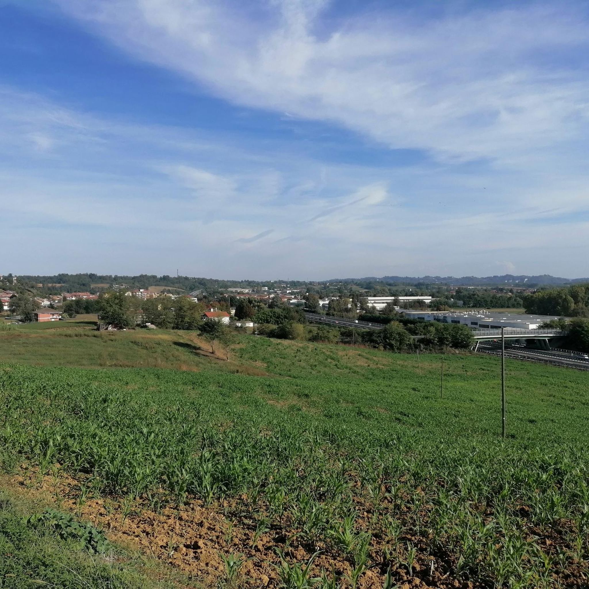
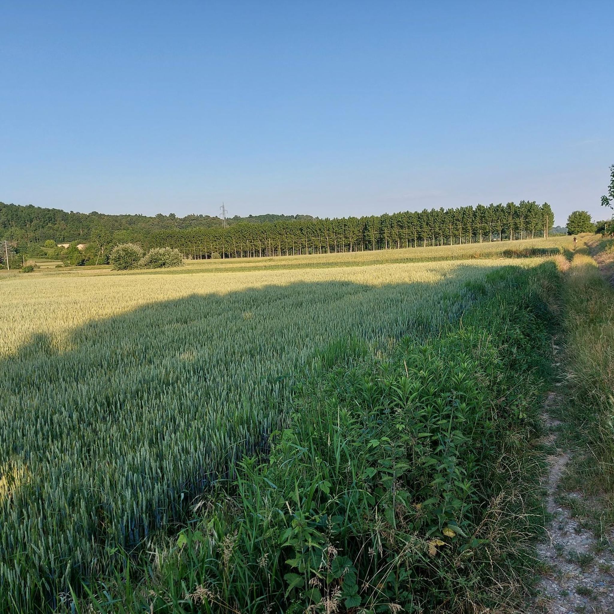
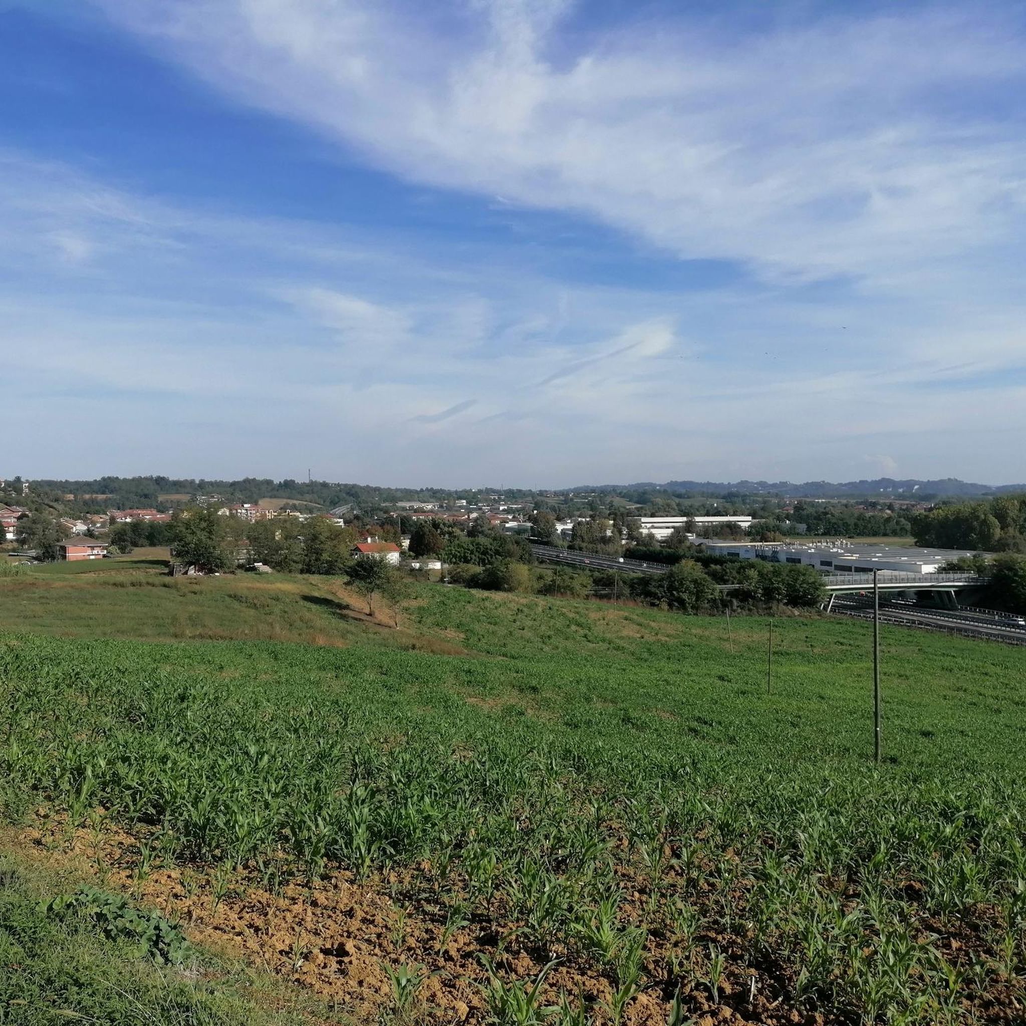
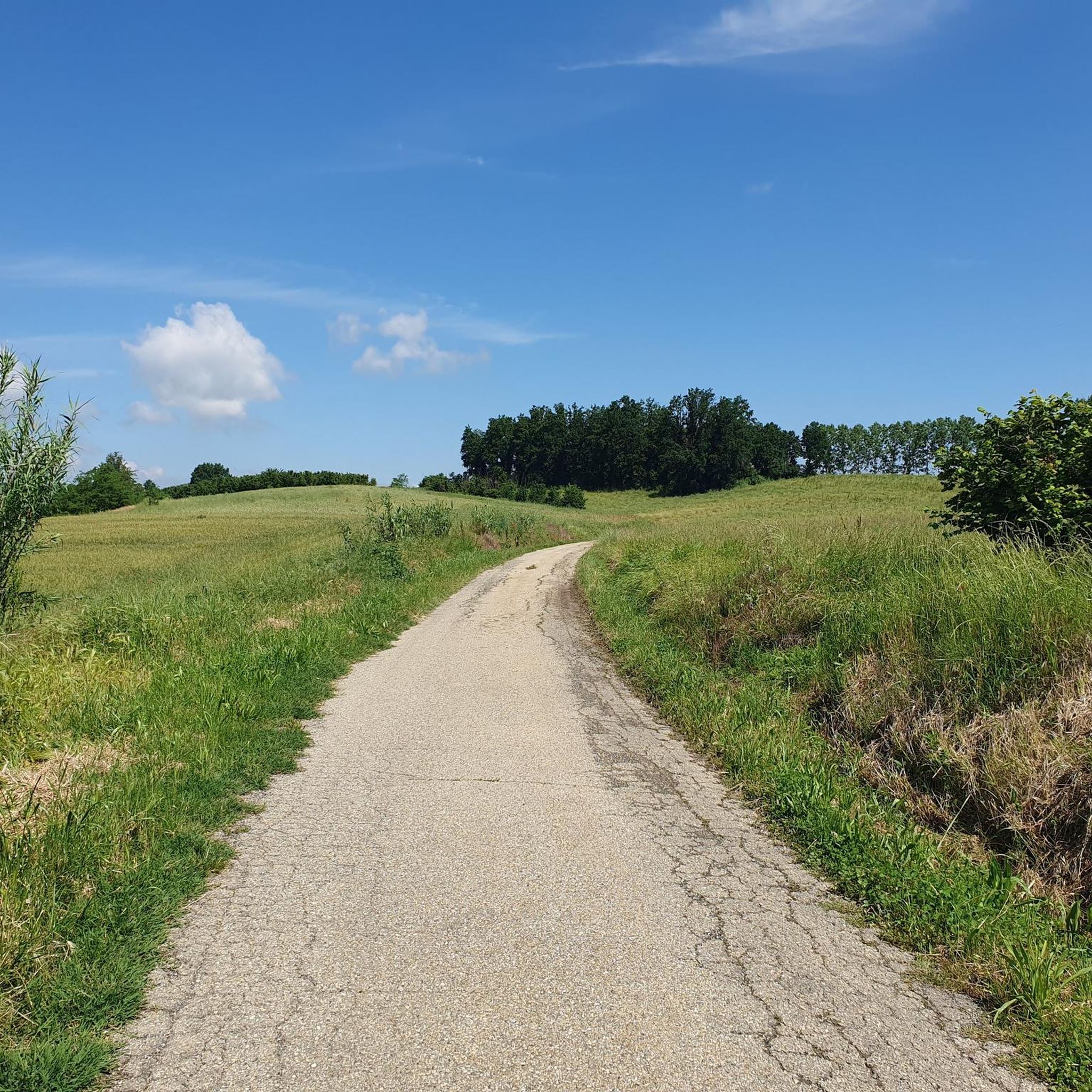
Hiking around Baldichieri D'Asti offers diverse landscapes within Italy's Piedmont region, part of the UNESCO Monferrato area. The terrain is characterized by rolling hills covered with vineyards, hazelnut fields, and chestnut forests. These undulating slopes provide varied hiking terrain, offering panoramic views across the landscape. The region features unique geological stratifications and historical routes through charming medieval villages.
Best hiking trails around Baldichieri D'Asti
- The most popular hiking route is Hazelnut Trail Loop, a 4.7 miles (7.5 km) trail…
Last updated: June 23, 2026
4.5
(11)
24
hikers
7.52km
02:03
120m
110m
Embark on the Hazelnut Trail Loop, a moderate hiking route spanning 4.7 miles (7.5 km) with an elevation gain of 378 feet (115 metres). You can expect to complete this…
2
hikers
6.62km
01:54
160m
160m
A Walk Through Tigliole invites you on an easy hike through a varied landscape, where you'll pass through hazelnut groves, oak trees, and vineyards. The route features gentle ups and…

Sign up for free
6.51km
01:47
110m
110m
Peaceful countryside walk through Piedmont's wine country connecting two charming villages via rolling hills.
9.39km
02:34
150m
150m
Gravel path through Piedmont vineyards connecting historic chapels and rolling countryside.
19.1km
05:18
350m
350m
This difficult 11.9-mile hiking trail near Villafranca (via Route 701) offers vineyard views, medieval villages, and distant Alps.
Get access to more routes and recommendations from other explorers.
Sign up for free
Already have an account?
Our route recommendations are based on thousands of hikes, rides, and runs completed by other people on komoot.
Start today with a free account
Your next adventure awaits.
Login or Signup

Tips from the Community

Another historical point of passage of my tours: Castellero. A kilometer and perhaps more uphill to get to the top and find this viewpoint with graphics showing the mountainous arch on the horizon, the church and the town hall.
0
0

Small place of worship to give believers the chance to rest here for a while before continuing their walk of life.
1
0
A location to enjoy beautiful views.
1
0
You will come across this small prayer house in an open landscape. Perfect location to hit the pause button.
1
0

A beautiful little church on a dirt road that crosses fields, very well maintained and clean. It is possible to enter to make some prayers
1
0
In the center of Castellero, binoculars with a board indicating the direction of the most important peaks in Piedmont, visible in case of clear skies
1
0
A small church on the outskirts of the center of the beautiful village of Castellero
1
0
Frequently Asked Questions
How many hiking trails are available around Baldichieri D'Asti?
There are over 200 hiking routes available around Baldichieri D'Asti, catering to various skill levels. This includes 82 easy routes, 112 moderate routes, and 7 more challenging trails.
What kind of landscapes can I expect to see while hiking in Baldichieri D'Asti?
Hikers in Baldichieri D'Asti will experience diverse landscapes characterized by rolling hills, extensive vineyards, hazelnut fields, and chestnut forests. The region is part of the UNESCO Monferrato area, offering panoramic views that can extend to the distant Alps on clear days. You'll also find unique geological stratifications and historical routes through charming medieval villages.
Are there any easy, family-friendly hikes in the area?
Yes, Baldichieri D'Asti offers many easy routes suitable for families. An excellent option is A Walk Through Tigliole, an easy 6.6 km path that provides scenic views of the rolling hills and local countryside, perfect for a relaxed outing.
Can I find circular hiking routes around Baldichieri D'Asti?
Yes, there are several circular routes. For a moderate loop, consider the Hazelnut Trail Loop, which is 7.5 km long and winds through the region's characteristic hazelnut fields. For a more challenging, longer loop, the Villafranca and Baldichieri Hazelnut Trail Loop covers over 19 km.
What historical sites or landmarks can I visit while hiking?
The region is rich in history. You can incorporate visits to landmarks like the impressive San Martino Alfieri Castle, a baroque castle built on medieval foundations. Additionally, the Viatosto Church offers magnificent views of Asti and its surrounding hills, and the Romanesque San Secondo Church in Cortazzone is another scenic stop.
Are there any challenging long-distance hikes in the area?
For those seeking a more challenging experience, the Villafranca and Baldichieri Hazelnut Trail Loop is a difficult 19.1 km route with significant elevation changes, offering a rewarding long-distance hike through varied terrain.
What do other hikers say about the trails in Baldichieri D'Asti?
The hiking trails in Baldichieri D'Asti are highly rated by the komoot community, with an average score of 4.2 stars from over 300 reviews. Hikers often praise the well-maintained paths, the stunning vineyard scenery, and the blend of nature and historical points of interest.
Are there specific trails that pass through vineyards?
Many routes in Baldichieri D'Asti wind through the region's extensive vineyards, offering a chance to experience the agricultural heart of Monferrato. For example, the route From Villafranca to Baldichieri d'Asti (via Trail 711) leads directly through vineyards and past historical points of interest.
What is the best time of year to go hiking in Baldichieri D'Asti?
The rolling hills, vineyards, and forests of Baldichieri D'Asti are beautiful year-round. Spring and autumn offer pleasant temperatures and vibrant colors, with spring bringing blooming flowers and autumn showcasing the rich hues of the vineyards. Summer can be warm, making early morning or late afternoon hikes ideal, while winter offers a quieter, often misty, charm to the landscape.
Are there any trails that connect different towns or villages?
Yes, some trails connect different settlements, allowing for longer point-to-point hikes or exploring multiple villages. An example is the moderate route From San Carlo to San Damiano d'Asti (via Trail 107), which covers nearly 9.4 km and offers a journey between these two locations.
Are there places to rest along the hiking paths?
Yes, many paths in the Baldichieri D'Asti region feature strategically placed rest stops, often with wooden beams, providing convenient spots to pause, enjoy the views, and appreciate the surroundings.
What makes the Monferrato region unique for hiking?
The Monferrato region, a UNESCO World Heritage site, is unique for its viticultural landscapes, characterized by rolling hills covered in vineyards, hazelnut fields, and chestnut forests. The distinctive soil, from ancient marine deposits, contributes to the renowned Barbera d'Asti wine. Hikers can enjoy a blend of natural beauty, rich history, and local culture.
Most popular routes around Baldichieri D'Asti
Most popular attractions around Baldichieri D'Asti

Get inspired with the komoot mobile app


Explore more
Browse the best Hikes in other regions.
