The best MTB trails around Schwörstadt
4.6
(3743)
11,540
riders
677
rides
Mountain biking around Schwörstadt offers a diverse landscape characterized by rolling hills, dense woodlands, and river valleys. The region's varied topography provides terrain suitable for different skill levels, from gentle paths to more challenging ascents. Its location between the Upper Rhine and the Dinkelberg ensures a mix of natural features for exploration. This area is ideal for both leisurely rides and demanding mountain biking experiences.
Best mountain bike trails around Schwörstadt
- The most popular mountain bike trail is Hohe-Möhr-Turm –…
Last updated: October 7, 2026
4.7
(47)
191
riders
56.9km
03:22
310m
310m
Moderate mountain bike ride. Good fitness required. Advanced riding skills necessary.
4.6
(10)
23
riders
32.8km
02:21
490m
490m
Moderate mountain bike ride. Good fitness required. Suitable for all skill levels.

5.0
(8)
6
riders
23.8km
01:46
360m
360m
Moderate mountain bike ride. Good fitness required. Advanced riding skills necessary.
4.6
(5)
8
riders
27.4km
02:04
400m
400m
Moderate mountain bike ride. Good fitness required. Suitable for all skill levels.
5
riders
26.7km
02:02
440m
440m
Moderate mountain bike ride. Good fitness required. Advanced riding skills necessary.
Get access to more routes and recommendations from other explorers.
Already have an account?
Our route recommendations are based on thousands of hikes, rides, and runs completed by other people on komoot.
Start today with a free account
Your next adventure awaits.
Tips from the Community

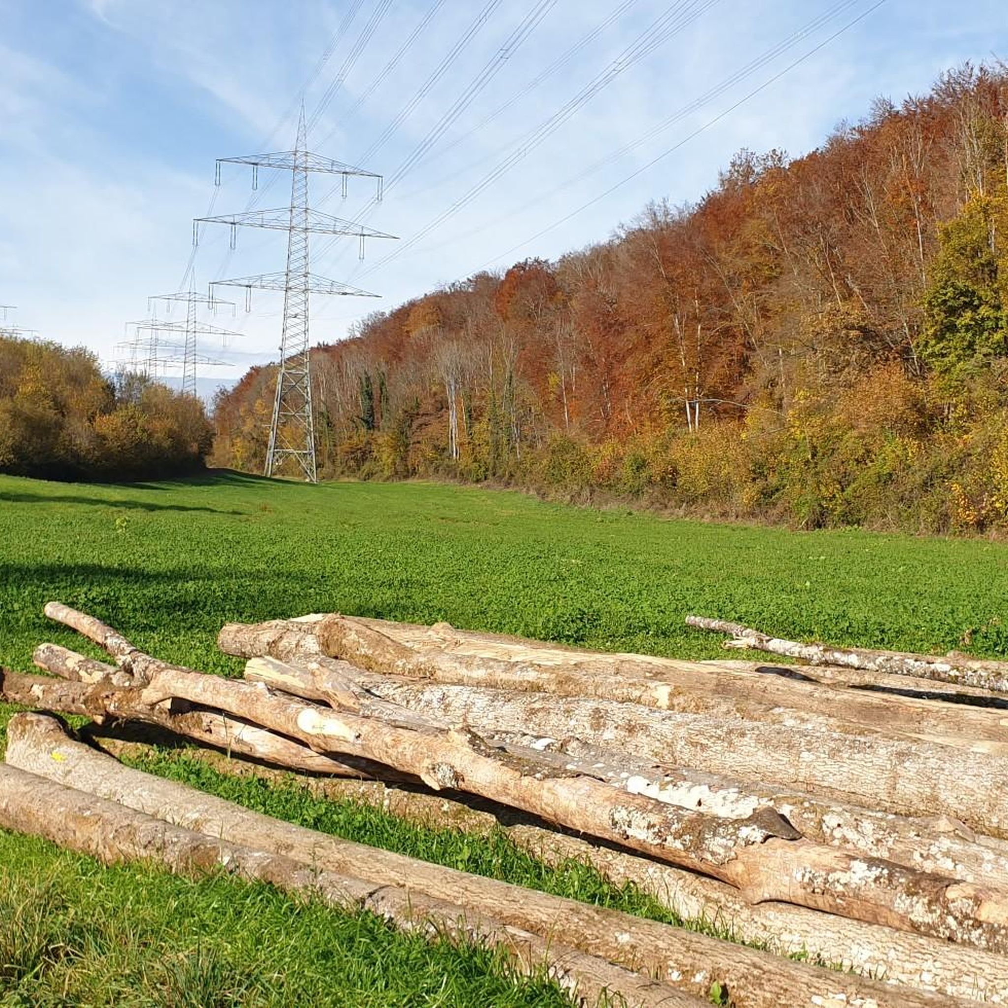
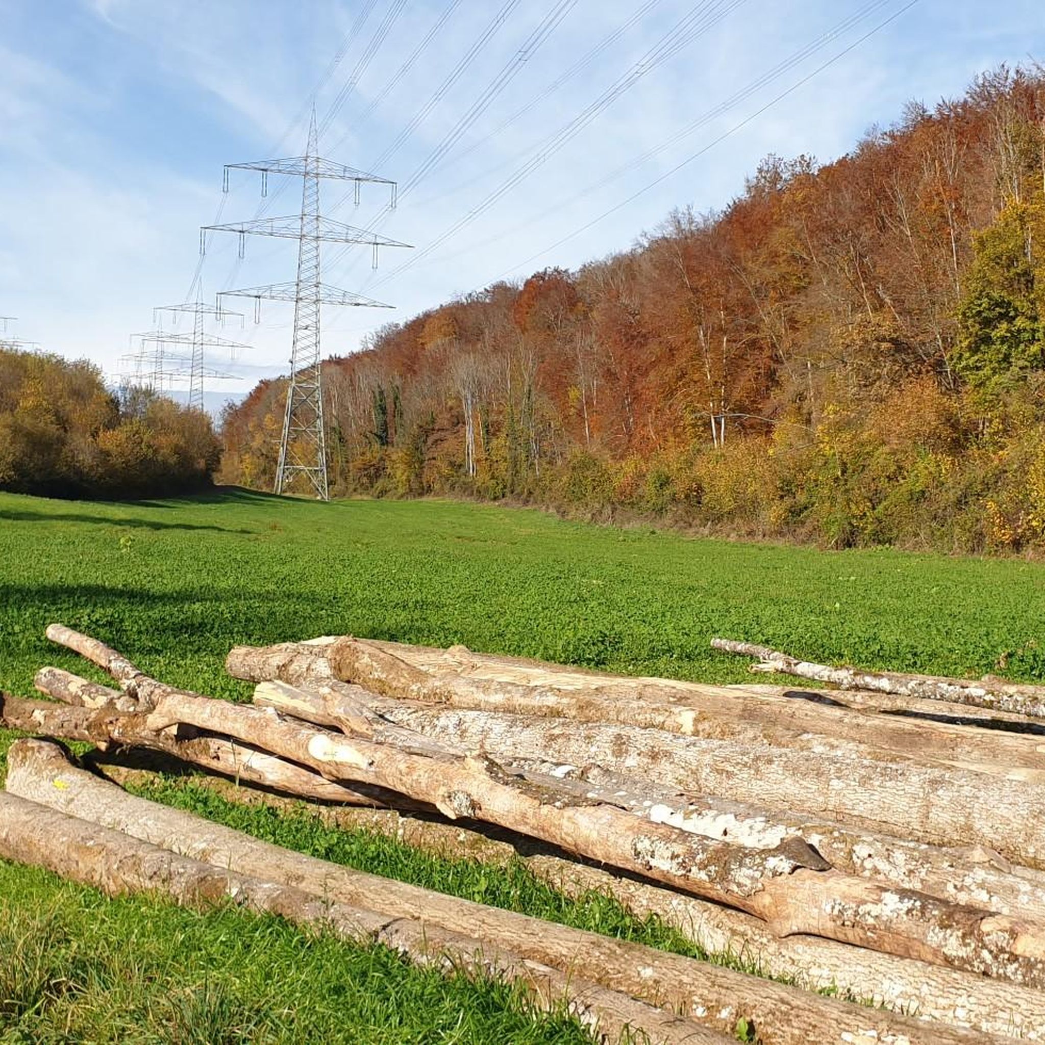
Both on foot and by bike, the gravel path between Wehr and Hasel is easy to walk/cycle on, without much gradient, but in summer it is shady directly along the Haselbach. The karst spring is one of the many special features of the Dinkelberg. Before Hasel, the path passes directly by the entrance to the Erdmannshöhle.
1
0

The Dinkelberg trails are simply beautiful!
0
0

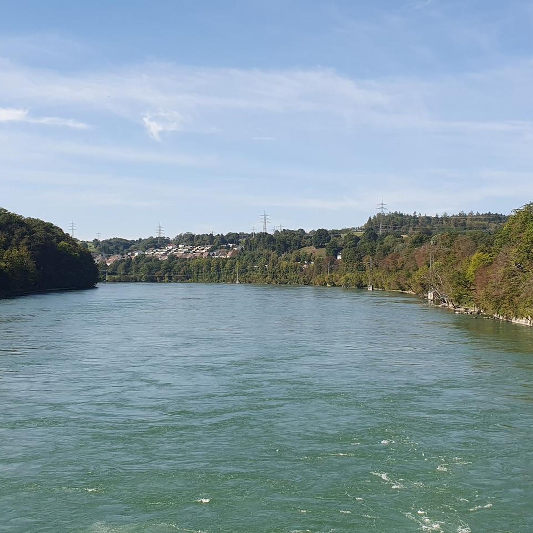
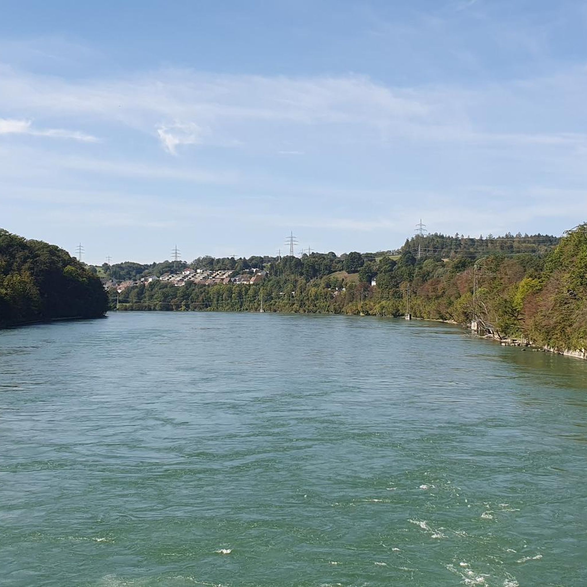
The square with its fountain was redesigned by the citizens of Wiechs in 1956; previously, it was a cattle trough. Those who don't feel like climbing the tower can take a break here with a view of the Rhine and the Alps.
3
0
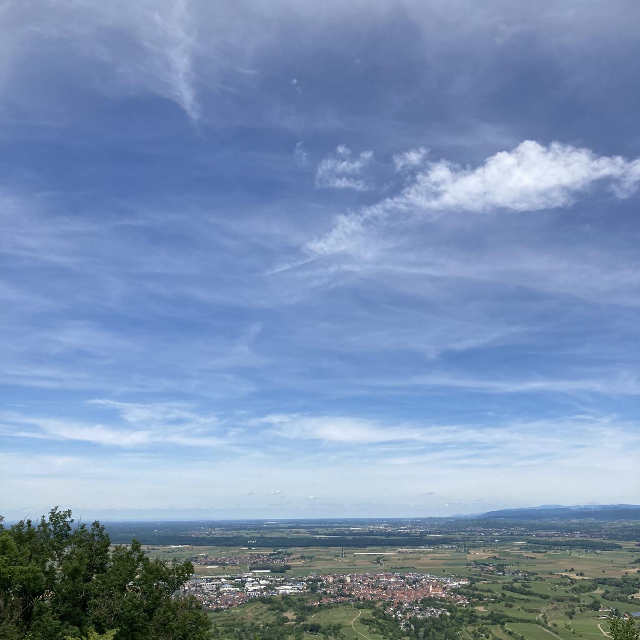
The Hohe-Flum Tower stands on the highest elevation of the Dinkelberg, at 535 meters above sea level. The 13.5-meter-high tower was built in 1874. 62 steps lead up to the platform. From there, you have a magnificent panoramic view in all directions. To the south, you can see the Swiss Jura Plateau and, in good weather, the Alps beyond. To the west, the view extends to the Vosges mountains and to the north and east to the Black Forest. With views of the Entegast, Zeller Blauen, Hohe Möhr, etc.
5
0


Magnificent view of the Rhine. The tower is free. The steps are pleasantly wide—shouldn't be a problem even if you're afraid of heights 😉
0
0


Wild boar burrows are still open. Watch out for the thorns, they hurt. 😂 Ride with some foresight, but the trail is a dream 🥰
2
0
Frequently Asked Questions
How many mountain bike trails are available around Schwörstadt?
There are over 680 mountain bike trails around Schwörstadt listed on komoot, offering a wide range of options for different skill levels and preferences.
Are there easy mountain bike trails suitable for beginners in Schwörstadt?
Yes, Schwörstadt offers a good selection of trails suitable for beginners. There are over 120 easy mountain bike routes. An example is the Beuggen Castle – Niederdossenbach Chapel loop from Schwörstadt, which is 22.3 km long and rated as easy.
What are some scenic mountain bike trails with good views in Schwörstadt?
For panoramic views, consider the Hohe Flum Lookout Tower – Giant Bench Nordschwaben loop from Schwörstadt. This 23.6 km moderate trail leads through forested hills and offers excellent vistas, particularly from the Hohe Flum Lookout Tower.
Are there any mountain bike trails that pass by waterfalls in the Schwörstadt area?
While not directly on every trail, the region around Schwörstadt features several beautiful waterfalls. You can explore highlights like the Lehenbach Waterfalls or the View of Stralbrusch Waterfall, which can be incorporated into longer rides or visited as side trips.
What is the best season for mountain biking in Schwörstadt?
The best season for mountain biking in Schwörstadt is typically from spring to autumn (April to October). During these months, the weather is generally mild, and trails are dry and well-maintained. While some trails may be accessible in winter, conditions can be challenging due to snow or ice, especially in higher elevations.
Are there long-distance mountain bike trails available in Schwörstadt?
Yes, Schwörstadt offers several longer routes for those seeking a more extensive ride. The Fridolin's Minster, Bad Säckingen – Wehrabucht loop from Schwörstadt is a notable example, covering 48.4 km with moderate difficulty, providing a substantial challenge.
Can I find mountain bike trails with pub or restaurant stops in Schwörstadt?
Many routes in the Schwörstadt region pass through or near villages and towns where you can find places to eat and drink. The Erdmann Cave, Hasel – Reichert Sattelhof Restaurant loop from Wehramündung, for instance, includes the Reichert Sattelhof Restaurant, offering a convenient stop for refreshments.
What do other mountain bikers say about the trails in Schwörstadt?
The mountain bike trails in Schwörstadt are highly regarded by the komoot community, with an average rating of 4.6 stars from over 3,100 reviews. Riders often praise the diverse landscape, well-maintained paths, and the variety of routes catering to different skill levels.
Are there any interesting landmarks or attractions to see along the mountain bike routes?
Yes, the area around Schwörstadt is rich in points of interest. You might encounter historical sites like the Wooden Covered Bridge in Bad Säckingen or the Old Rhine Bridge, Rheinfelden. The Hohe-Möhr-Turm also offers a significant landmark and great views.
Are there many circular mountain bike routes in Schwörstadt?
Most of the mountain bike trails around Schwörstadt are designed as circular routes, allowing you to start and end your ride at the same point. This makes planning your trip more convenient. For example, the Eichener Lake – View of Wehr loop from Wehramündung is a popular 27.4 km loop.
How can I find parking for mountain biking trails in Schwörstadt?
Many trailheads and popular starting points in and around Schwörstadt offer designated parking areas. It's advisable to check the individual tour details on komoot for specific parking information, as many routes start from easily accessible locations with parking facilities.
Are there advanced mountain bike trails for experienced riders in Schwörstadt?
Yes, for experienced riders seeking a challenge, Schwörstadt offers over 100 difficult mountain bike trails. These routes typically feature steeper climbs, more technical descents, and rugged terrain, providing a demanding and rewarding experience.
Most popular routes around Schwörstadt
Most popular attractions around Schwörstadt

Get inspired with the komoot mobile app


Explore more
Browse the best MTB trails in other regions.
