The best cycling routes around Armùngia/Armungia
5.0
(2)
13
riders
5
rides
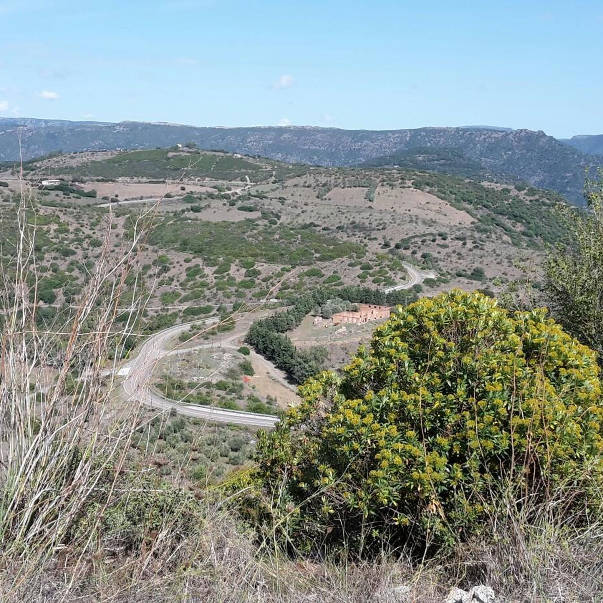
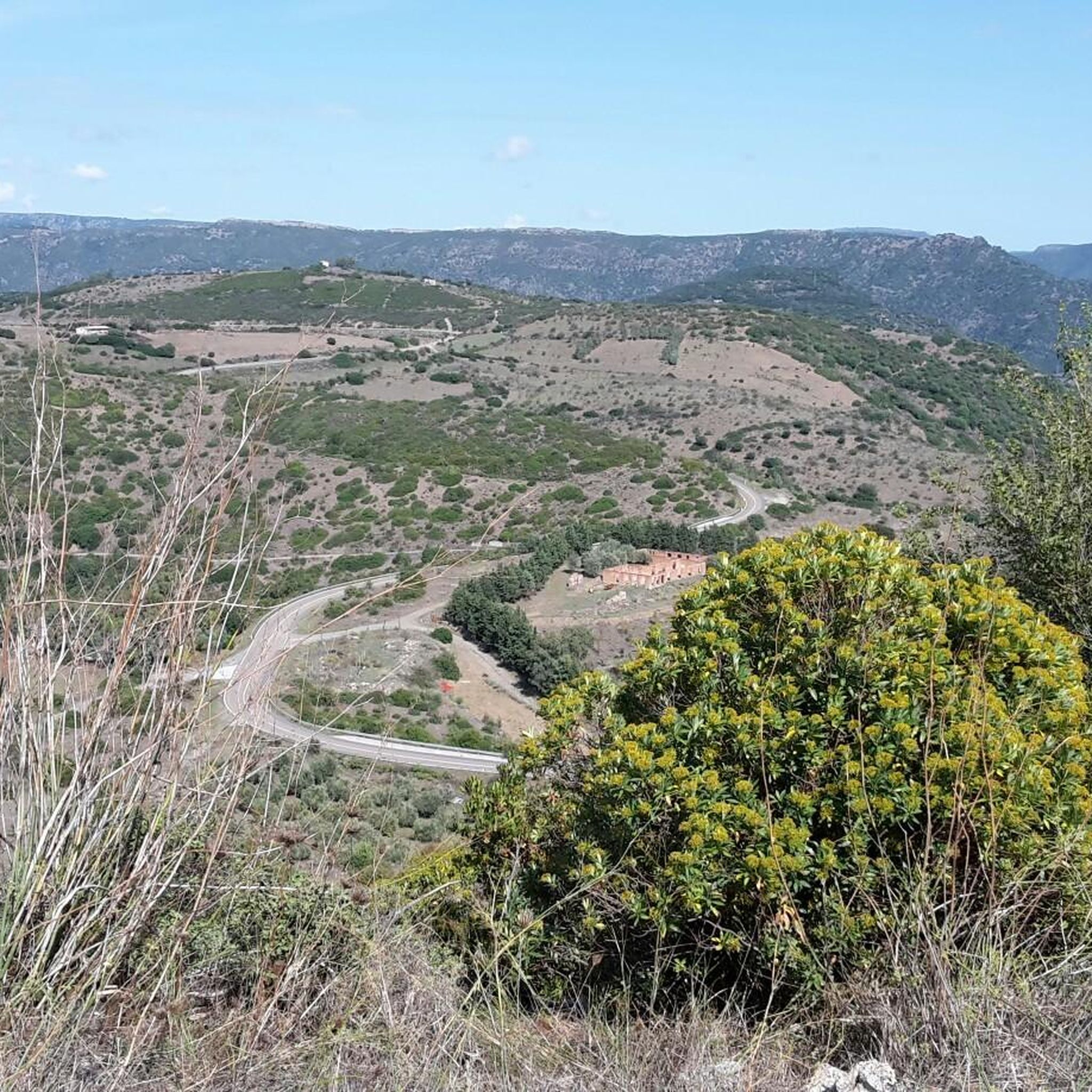
Touring cycling routes around Armùngia/Armungia are situated on a plateau in the Gerrei subregion of South Sardinia, offering diverse landscapes for exploration. The area is characterized by a mix of forests, Mediterranean scrubland, and cultivated fields. Routes often provide views of the Flumendosa valley, Sardinia's second-longest river, and allow for rides away from heavy traffic. The region's terrain includes varied elevations, with routes starting from approximately 366 meters above sea level.
Best touring cycling routes around Armùngia/Armungia
- The most popular…
Last updated: July 8, 2026
6
riders
41.2km
04:29
1,170m
1,170m
Hard bike ride. Very good fitness required. Mostly paved surfaces. Suitable for all skill levels.
1
riders
41.5km
02:53
810m
810m
Hard bike ride. Very good fitness required. Mostly paved surfaces. Suitable for all skill levels.

Sign up for free
2
riders
16.2km
01:41
450m
450m
Moderate bike ride. Good fitness required. Mostly paved surfaces. Suitable for all skill levels.
5.0
(1)
2
riders
70.3km
05:13
1,540m
1,540m
Hard bike ride. Very good fitness required. Mostly paved surfaces. Suitable for all skill levels.
5.0
(1)
2
riders
29.2km
02:06
620m
620m
Hard bike ride. Very good fitness required. Mostly paved surfaces. Suitable for all skill levels.
Our route recommendations are based on thousands of hikes, rides, and runs completed by other people on komoot.
Start today with a free account
Your next adventure awaits.
Login or Signup
Popular around Armùngia/Armungia
Tips from the Community

A few dozen meters of dirt road to visit this beautiful place: covered fountain (this is the intuitive translation) dates back to 1,200 BC and is absolutely worth knowing. At the entrance to the dirt road there is a descriptive panel of the place.
0
0

This is a very popular place for locals. In August, the patron saint is celebrated.
0
0

The Pranu Muttedu Park takes the nickname "Sardinian Stonehenge" because it seems to date back to an age before the renowned British monument. The archaeological site is among the largest in Sardinia.
2
0
The Flumendosa river is 127 kilometers long and passes through the southern center of the island. It is the second longest river after the Tirso.
1
0

If you have time, stop and take a look at the largest and most complex nuraghe in Sardinia! It almost looks like a castle in size.
1
0

This was a bit of an emergency spot for us due to weather and few daylight hours in October, but it turned out to be a really cozy spot to pitch up for the night. Lift your bike over the rock wall, set up late and pack up early. Leave no trace!
0
0
Frequently Asked Questions
How many touring cycling routes are available around Armùngia/Armungia?
There are 5 touring cycling routes available around Armùngia/Armungia, all of which are rated as difficult. These routes offer diverse landscapes for exploration, often with significant elevation changes.
What kind of terrain can I expect on the touring cycling routes in Armùngia/Armungia?
The terrain around Armùngia/Armungia is characterized by a mix of forests, Mediterranean scrubland, and cultivated fields. Routes are situated on a plateau, starting from approximately 366 meters above sea level, and feature varied elevations, making them challenging.
Are there any easy or beginner-friendly touring cycling routes in Armùngia/Armungia?
Currently, all touring cycling routes listed for Armùngia/Armungia are rated as difficult. They are primarily suited for experienced cyclists due to their challenging nature and significant elevation gains.
What kind of views and natural features can I expect to see while cycling in Armùngia/Armungia?
Cyclists can enjoy unparalleled scenic views of the Flumendosa valley, Sardinia's second-longest river, particularly from areas like Cilixiucci. The routes also traverse through forests and Mediterranean scrubland, offering a rich natural environment.
Are there any historical sites or landmarks along the touring cycling routes?
Yes, you can encounter several historical and cultural points of interest. The ancient Bronze Age Nuraghe Armungia is located right in the village center, offering panoramic views. You might also pass by the San Nicola Quirra Church, a Romanesque church built entirely of terracotta bricks, often accessible via a scenic secondary road.
Are there circular touring cycling routes available in Armùngia/Armungia?
Yes, several routes are designed as loops. For example, the Covered fountain – Domus de janas loop from Silius and the San Nicolò Gerrei loop from Pauli Gerrei/San Nicolò Gerrei are popular circular options.
What is the best season for touring cycling in Armùngia/Armungia?
Sardinia generally offers a mild climate, making it suitable for cycling for much of the year. Spring and autumn are typically ideal, providing pleasant temperatures and avoiding the peak heat of summer, while still offering good weather conditions for challenging rides.
Is there parking available for cyclists in Armùngia/Armungia?
While specific parking areas for cyclists are not detailed for every route, Armungia is a small village. You can typically find parking within the village or at the starting points of routes, especially near towns like Silius or Ballao, which serve as common starting points for these tours.
Are the touring cycling routes in Armùngia/Armungia suitable for families?
Given that all listed touring cycling routes are rated as difficult and involve significant elevation changes, they are generally not recommended for families with young children or beginner cyclists. These routes are better suited for experienced riders seeking a challenge.
What do other touring cyclists say about the routes in Armùngia/Armungia?
The touring cycling routes in Armùngia/Armungia are highly rated by the komoot community, with an average score of 5.0 stars from over 1 review. Cyclists appreciate the diverse landscapes and the opportunity for rides away from heavy traffic.
Can I find places to eat or drink along the cycling routes?
Armungia and nearby villages like Ballao and Silius offer local amenities, including cafes and restaurants where you can refuel. It's advisable to carry sufficient water and snacks, especially on longer routes, as services might be sparse between villages.
What makes Armungia a unique destination for touring cyclists?
Armungia stands out for its unique blend of challenging terrain, historical significance, and stunning natural beauty. Cycling here offers a chance to explore ancient nuraghi, picturesque churches, and the dramatic Flumendosa valley, all while enjoying peaceful rides away from busier roads.
Are there any specific natural monuments or archaeological sites to visit nearby?
Yes, beyond the Nuraghe Armungia, you can explore other significant sites. The Sacred Well of Funtana Coberta and the Sacred Well Is Pirois are notable archaeological sites. Additionally, the Pranu Muttedu Archaeological Park is also within reach, offering further insights into the region's ancient past.
Most popular routes around Armùngia/Armungia
Most popular attractions around Armùngia/Armungia

Get inspired with the komoot mobile app


Explore more
Browse the best Cycling routes in other regions.
