The best mountain hikes around Castiglione D'Intelvi
5.0
(10)
74
hikers
6
hikes
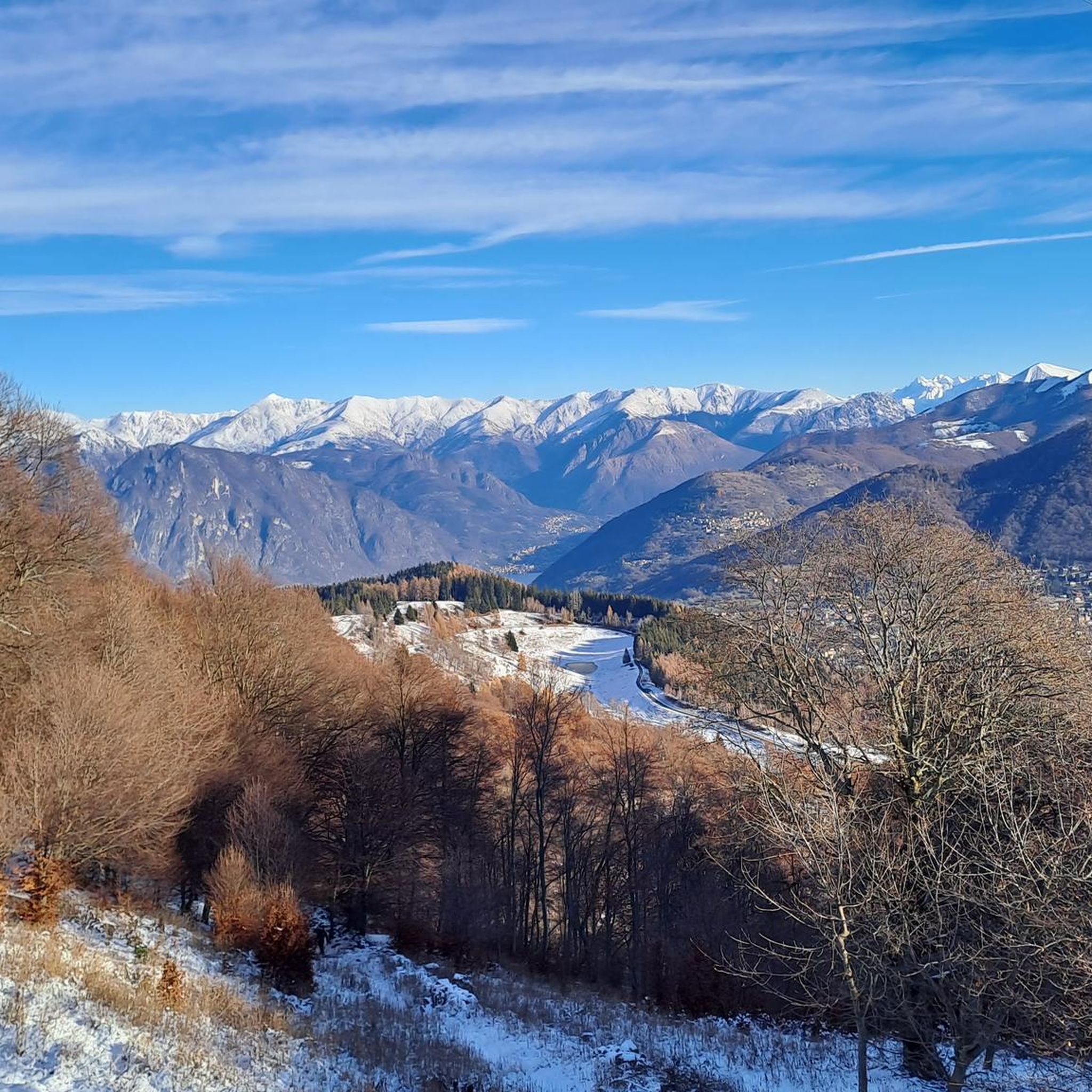
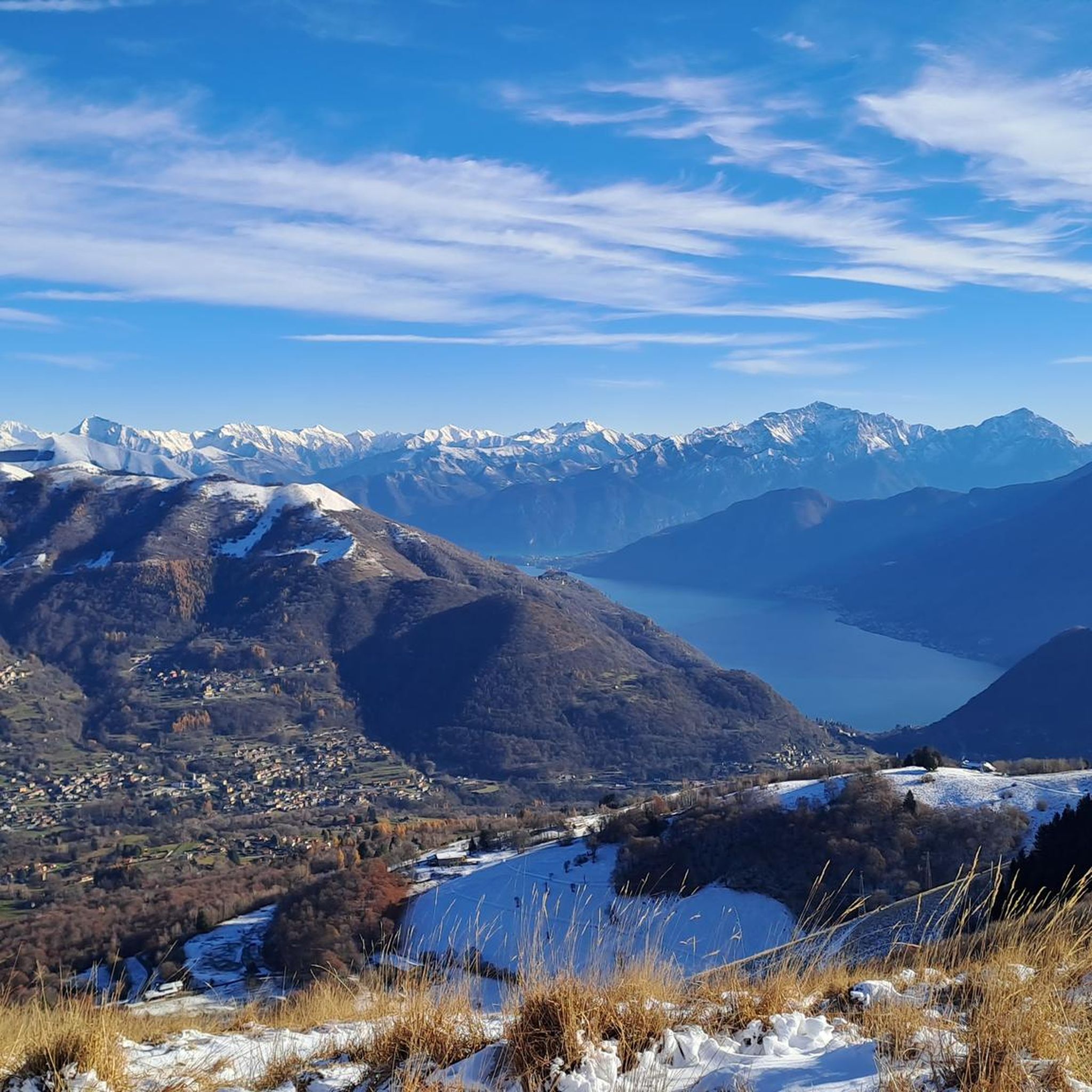
Mountaineering routes around Castiglione D'Intelvi are situated within the Valle Intelvi, a lush green corridor between Lake Como and Lake Lugano. The region features diverse landscapes characterized by prominent peaks such as Monte San Primo, Monte Generoso, and Monte Galbiga, offering varied terrain for mountaineering. Elevations range significantly, with Castiglione D'Intelvi itself at 650 meters above sea level, and surrounding mountains reaching over 1600 meters.
Best mountaineering routes around Castiglione D'Intelvi
- The most popular mountaineering route is Mountaineering loop from…
Last updated: June 28, 2026
5.0
(3)
35
hikers
4.38km
02:13
350m
350m
Moderate mountaineering route. Good fitness required. Mostly accessible paths. Sure-footedness required.
5.0
(1)
9
hikers
13.6km
07:08
1,190m
1,190m
Hard mountaineering route. Very good fitness required. Sure-footedness, sturdy shoes and alpine experience required.

Sign up for free
5.0
(1)
6
hikers
11.4km
06:38
1,150m
1,150m
Hard mountaineering route. Very good fitness required. Sure-footedness, sturdy shoes and alpine experience required.
5.0
(1)
4
hikers
6.07km
02:22
410m
410m
Moderate mountaineering route. Good fitness required. Mostly accessible paths. Sure-footedness required.
5.0
(1)
5
hikers
12.7km
05:28
790m
800m
Hard mountaineering route. Very good fitness required. Sure-footedness, sturdy shoes and alpine experience required.
Our route recommendations are based on thousands of hikes, rides, and runs completed by other people on komoot.
Start today with a free account
Your next adventure awaits.
Login or Signup
Popular around Castiglione D'Intelvi
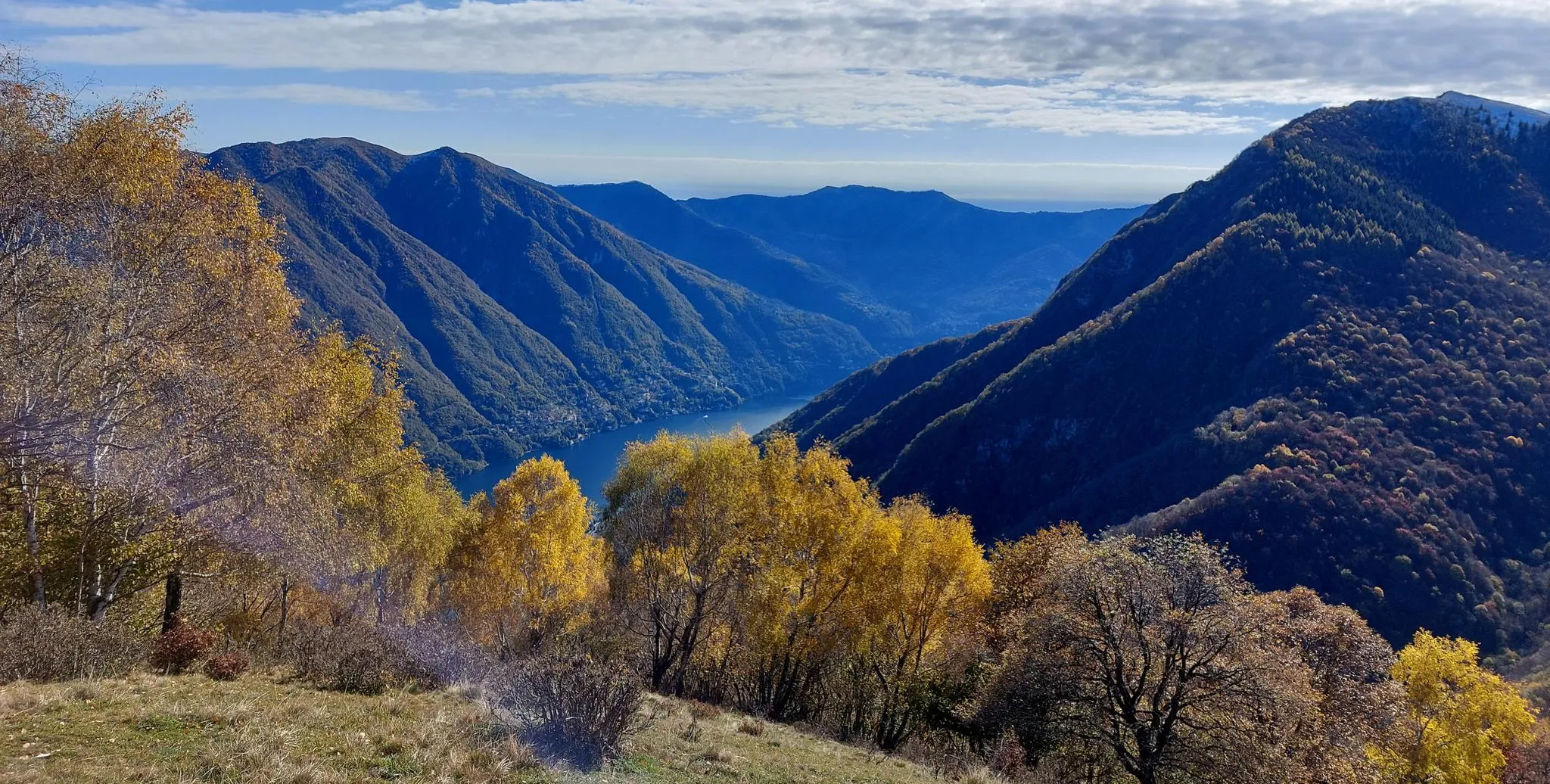
Lake Como region – CamminaForeste in Lombardy part 7
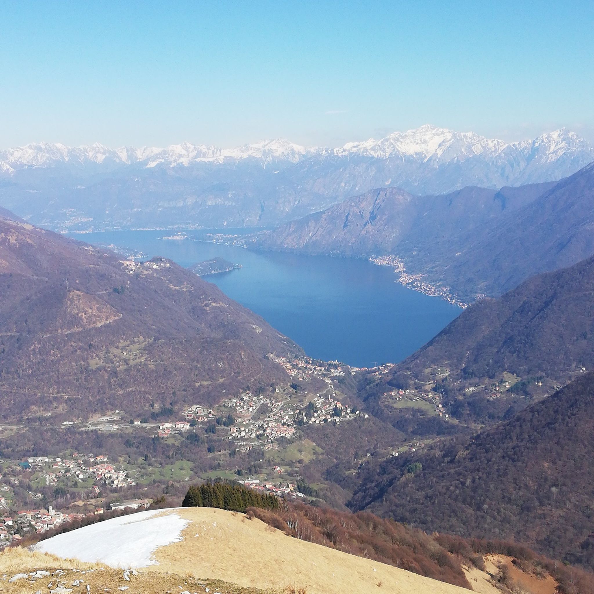
Hiking around Castiglione D'Intelvi
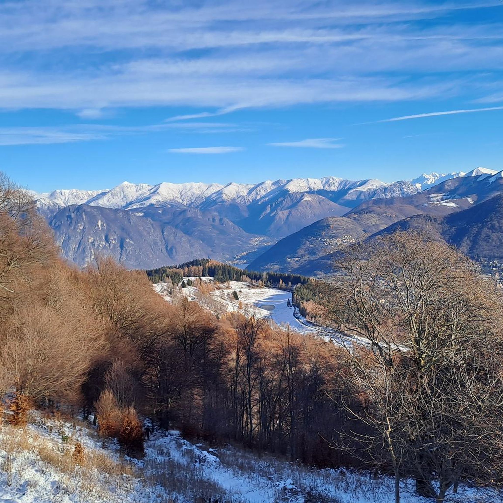
Road Cycling Routes around Castiglione D'Intelvi
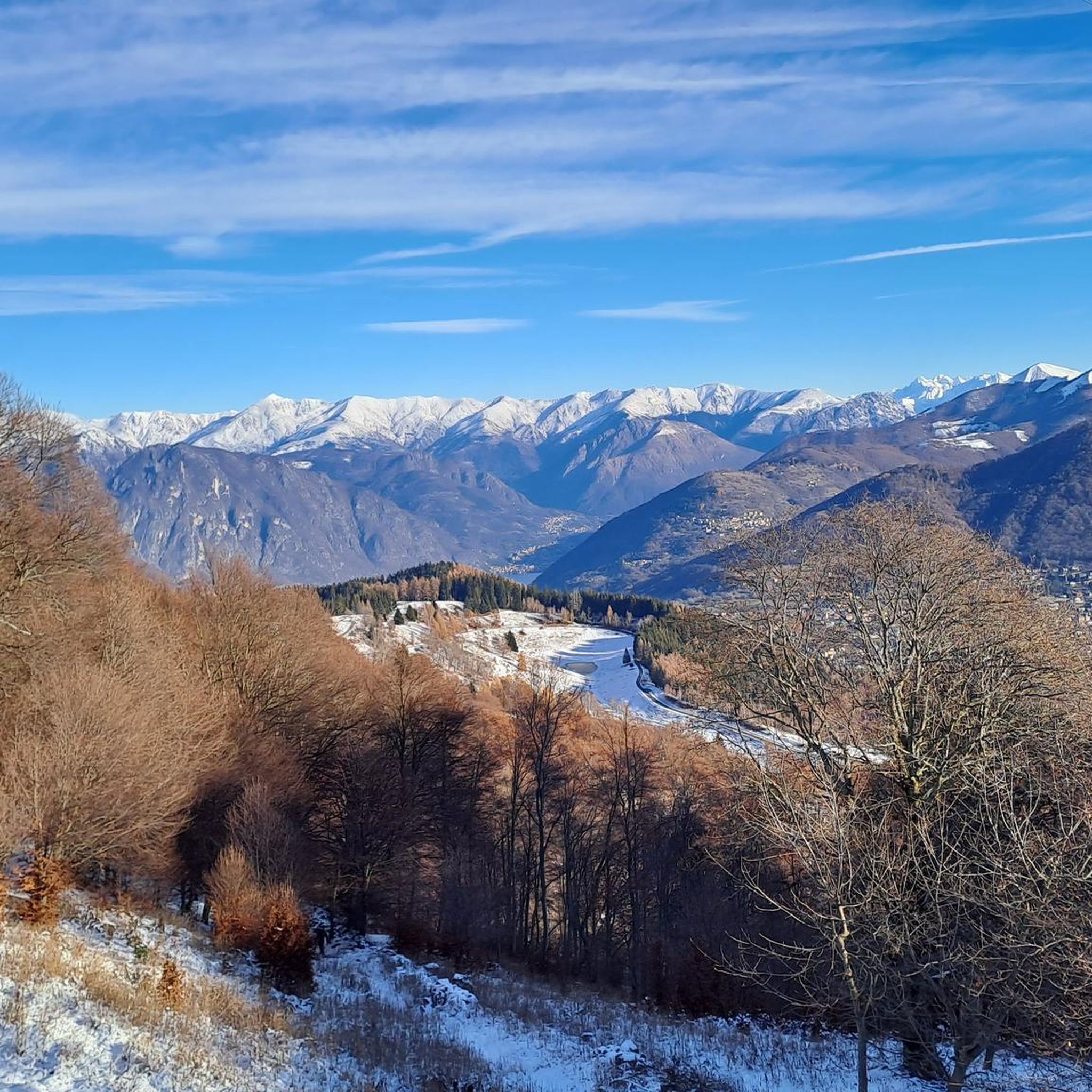
Cycling around Castiglione D'Intelvi
MTB Trails around Castiglione D'Intelvi
Running Trails around Castiglione D'Intelvi

Gravel biking around Castiglione D'Intelvi
Other adventures around Castiglione D'Intelvi

Tips from the Community

pretty here, very pretty
0
0
pretty here, very pretty
0
0
pretty here, very pretty
0
0
pretty here, very pretty
0
0
pretty here, very pretty
0
0

It should be noted that with a road bike you risk puncturing or damaging a tire, very sharp stones. Furthermore, walking with the bike by hand for 1.5km and with road cycling shoes, you risk falling several times...
0
0

From Mount Generoso you can see Switzerland, Brianza, the Varese area and the mountains of Valsassina.
0
0
Frequently Asked Questions
How many mountaineering routes are available in Castiglione D'Intelvi?
There are over 10 mountaineering routes around Castiglione D'Intelvi, offering a range of experiences from moderate to difficult. The region's diverse landscapes, nestled between Lake Como and Lake Lugano, provide ample opportunities for exploration.
What kind of terrain can I expect on mountaineering routes in Castiglione D'Intelvi?
Mountaineering routes in Castiglione D'Intelvi feature varied alpine terrain, including high mountain peaks, panoramic viewpoints overlooking lakes, and lush valleys. You'll encounter significant ascents and descents, with options ranging from moderate paths to challenging mountain traverses.
Are there any beginner-friendly mountaineering routes in the area?
While many routes are challenging, there are moderate options available. For instance, the Mountaineering loop from Melano is a moderate 5.5-mile trail with an elevation gain of 1,632 feet, offering a good introduction to the region's mountain landscapes.
What are some notable viewpoints or landmarks I can see along the routes?
The region is rich with stunning viewpoints. You can reach the summit of Monte Generoso, which offers sweeping views of the main lakes and the Alpine range. The Monte San Primo Summit also provides expansive vistas of Lake Como and the Po Valley. Additionally, the 'Balcony of Italy' (Balcone d'Italia) on Monte Sighignola is a must-see for its unobstructed panoramas.
Are there any circular mountaineering routes in Castiglione D'Intelvi?
Yes, several routes offer a circular experience. Beyond the one from Melano, you could consider the challenging Sasso Rosso – Monte Boglia loop from Brè sopra Lugano, which is a difficult 6.9-mile path traversing demanding mountain terrain.
What is the best time of year for mountaineering in Castiglione D'Intelvi?
The best time for mountaineering is generally from spring through autumn when the weather is more stable and trails are clear of snow. The region offers breathtaking seasonal vistas, making it enjoyable across these months. Winter mountaineering is possible but requires specialized equipment and experience due to snow and ice conditions.
Are there any long-distance mountaineering options?
For those seeking a longer challenge, the Rifugio Venini – Hike to Rifugio Venini loop from Alpe di Colonno is a significant 11.8-mile trail leading through high mountain landscapes, typically completed in about 7 hours.
Can I access mountaineering routes using public transport?
The region has varying levels of public transport access. While some trailheads might be reachable by local buses, many mountaineering routes, especially those in higher or more remote areas, are best accessed by car. It's advisable to check local transport schedules in advance for specific starting points.
What do other mountaineers enjoy most about the routes in Castiglione D'Intelvi?
The routes in Castiglione D'Intelvi are highly rated by the komoot community, with an average score of 5.0 stars. Mountaineers often praise the stunning panoramic views of Lake Como and Lake Lugano, the diverse alpine terrain, and the sense of tranquility found in this hidden gem between the lakes.
Are there any routes that offer views of Monte Generoso?
Yes, the View of Lake Lugano – Monte Generoso Alpine Route loop from Val Mara is a difficult 11.1-mile route that provides excellent views of Lake Lugano and the prominent Monte Generoso itself.
Are there any facilities or cafes near the mountaineering trails?
While the higher mountain areas are more remote, you can find cafes and accommodation in the charming ancient villages within Valle Intelvi, such as Castiglione D'Intelvi and Lanzo d'Intelvi. Some routes, like the Bocchetta d'Orimento loop from Monte Generoso, might pass near mountain huts or rifugios where refreshments are available during peak seasons.
Are there any caves or gorges to explore in the vicinity?
Yes, the area offers unique natural features beyond the peaks. Near Monte Generoso, you can find the Cave Bear Cave (Grotta dell'Orso). Additionally, the region's torrents have carved deep ravines, creating gorges like the Nesso Gorge, which are popular for canyoning.
Most popular routes around Castiglione D'Intelvi
Most popular attractions around Castiglione D'Intelvi

Get inspired with the komoot mobile app


Explore more
Browse the best Mountain Hikes & Routes in other regions.
