The best walks and hikes around Schweinschied
4.5
(1889)
7,193
hikers
437
hikes
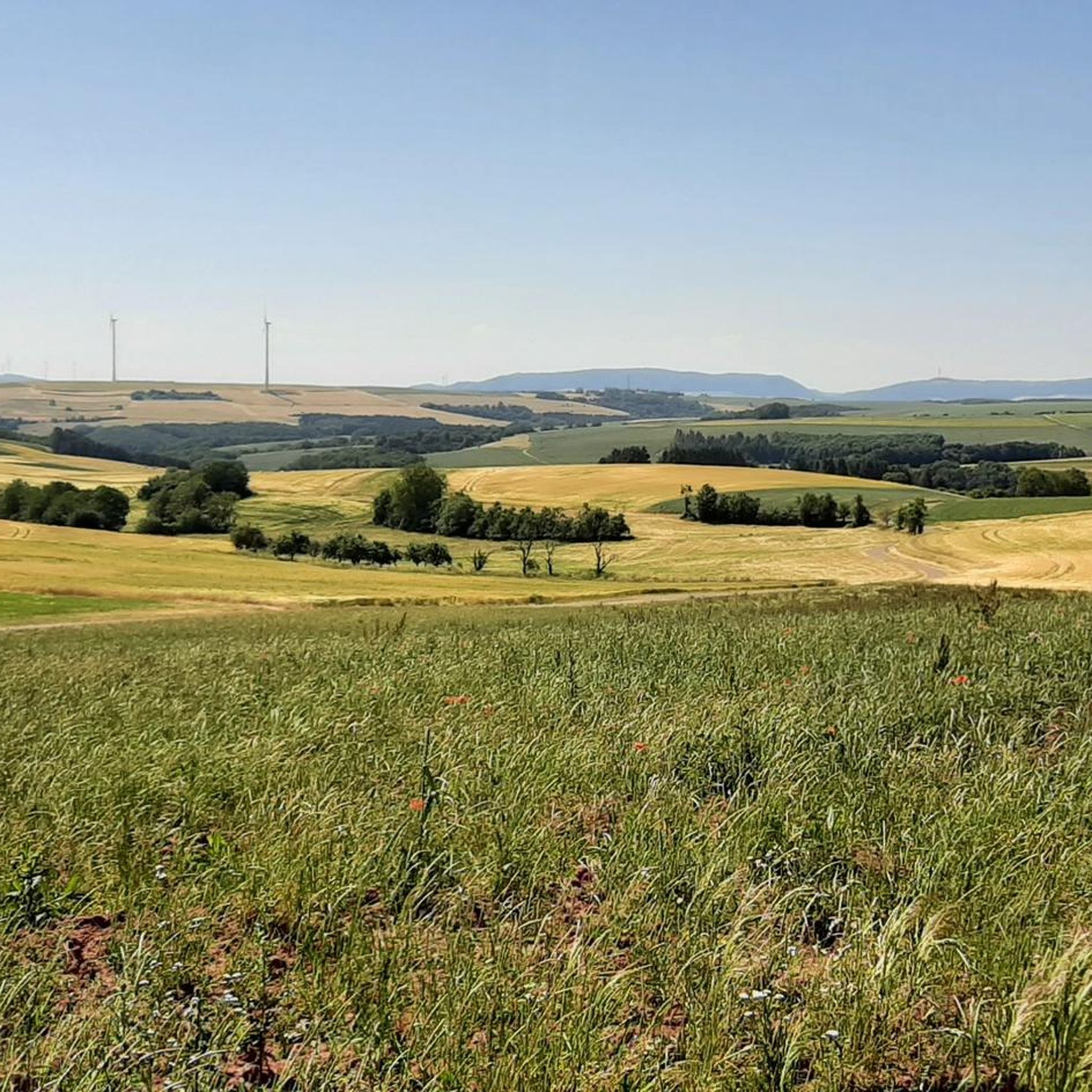
Hiking around Schweinschied offers diverse landscapes within the Naheland region and Nordpfälzer Bergland. The area is characterized by rolling hills and extensive forests, providing varied terrain for outdoor activities. Notable natural features include the Ringberg Nature Reserve, known for its rare plants and a Roman monument. The region also features river valleys, contributing to a mix of scenic routes.
Best hiking trails around Schweinschied
- The most popular hiking route is Ziegelsberg loop from Löllbach, a 7.5 miles (12.0 km)…
Last updated: June 30, 2026
4.5
(100)
295
hikers
13.3km
03:50
330m
330m
Moderate hike. Good fitness required. Easily-accessible paths. Suitable for all skill levels.
4.9
(10)
50
hikers
Moderate hike. Good fitness required. Easily-accessible paths. Suitable for all skill levels.

Sign up for free
4.7
(9)
24
hikers
8.84km
02:35
240m
240m
Moderate hike. Good fitness required. Easily-accessible paths. Suitable for all skill levels.
3.5
(2)
13
hikers
Easy hike. Great for any fitness level. Easily-accessible paths. Suitable for all skill levels.
3
hikers
9.00km
02:32
190m
190m
Moderate hike. Good fitness required. Easily-accessible paths. Suitable for all skill levels.
Get access to more routes and recommendations from other explorers.
Sign up for free
Already have an account?
Our route recommendations are based on thousands of hikes, rides, and runs completed by other people on komoot.
Start today with a free account
Your next adventure awaits.
Login or Signup
Tips from the Community


Three-story late Gothic building with a half-hipped roof, partially slated timber framing, hall ground floor, around 1517, architect probably Philipp von Gmünd; stair tower 1580, spindle 1652
2
0
A great tour with Oscar in hot weather
0
0

Invites you to linger. Nice seating area.
0
0

Very nice view if the weather is good.
0
0

On the left side of the tower, a staircase leads to the battlement. The tower keeper lived on the top floor and had to watch over the peace of the city. If guests wanted to enter at night, he had to call the mayor, because only in his presence was he allowed to lower the drawbridge and open the small entrance gate. Source and further information: http://www.stadt-meisenheim.de/historie/untertor/
1
0

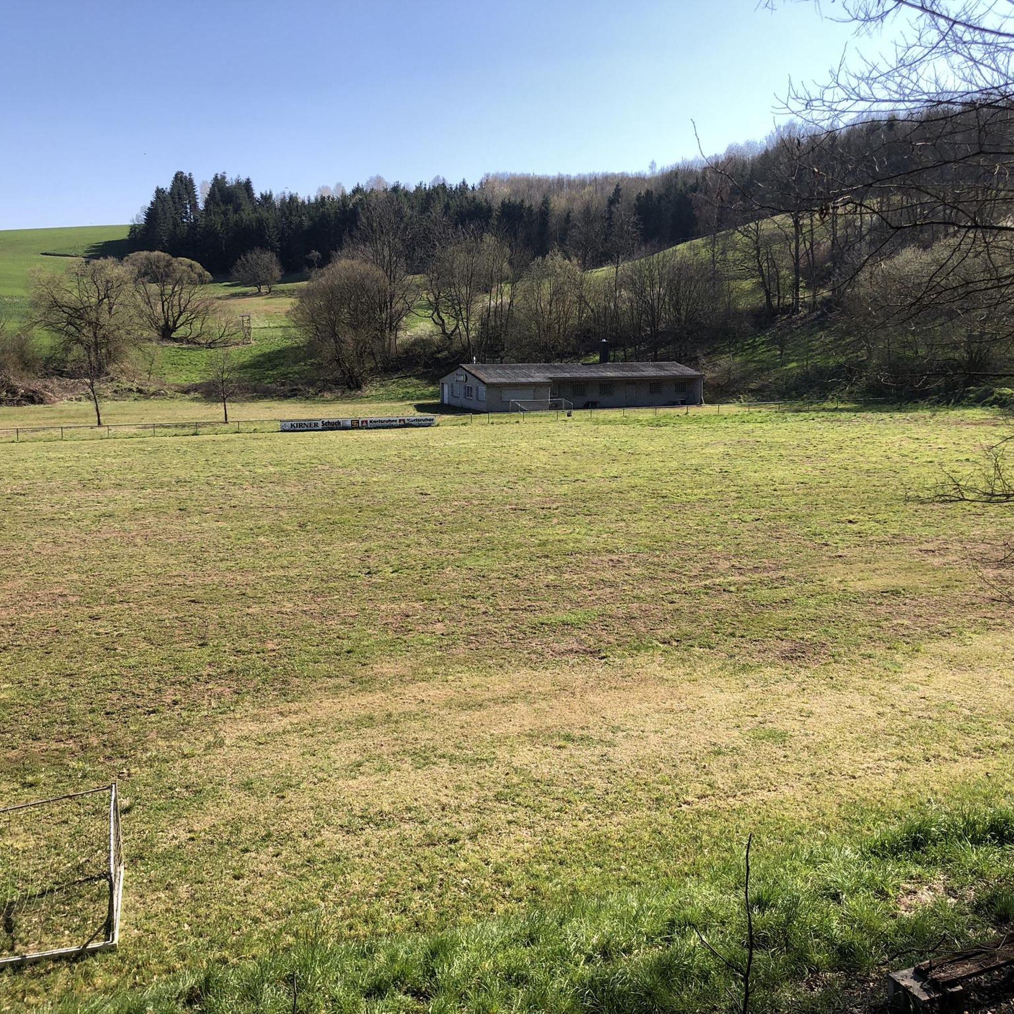
Welcome wooden seating area in the middle of the forest on the “magische Heimbach” hiking trail, donated by the Marc Fuhr company, Hundsbach.
0
0
Only surviving v.3 city gates: Ober-Klenker and Untertor. Built after the city rights were granted in 1515 by King Ludwig IN. "the Bavarian" to Count Georg I of Velden3. Important arterial road to the villages of the Meisenheim district, other Veldeng villages and the castles of Montfort, Lorenstein and Moschellandsberg. Today city archive.
2
0
Frequently Asked Questions
What kind of terrain can I expect on hiking trails around Schweinschied?
The hiking trails around Schweinschied are characterized by rolling hills and extensive forests, typical of the Naheland region and Nordpfälzer Bergland. You'll find a mix of ascents and descents through wooded areas, as well as paths leading through river valleys. This diverse topography offers varied experiences, from gentle walks to more moderate challenges.
How many hiking trails are available in the Schweinschied area?
There are over 420 hiking trails around Schweinschied. This includes a wide range of options, with approximately 215 easy routes, 194 moderate routes, and 12 more challenging trails, ensuring there's something for every skill level.
Are there any easy, family-friendly hiking routes in Schweinschied?
Yes, Schweinschied offers several easy, family-friendly options. A good example is the Idyllic Pond loop from Schweinschied, an easy 2.0-mile (3.3 km) path that leads through gentle terrain, passing by a tranquil pond and local scenery. Another easy option is the Hiking loop from Hoppstädten, which is about 4.5 km long.
What are some notable natural features or landmarks to see while hiking?
The region boasts several natural features. The Ringberg Nature Reserve, located on the slopes of the 393-meter-high Ringberg, is known for its rare plants and includes a nature trail leading to a Roman monument carved from rock. You can also discover various ponds and biotopes, such as the Idyllic Forest Pond or the Weiherdell Biotope, which are often found along trails.
Are there any circular hiking routes around Schweinschied?
Yes, many of the trails around Schweinschied are circular, offering convenient starting and ending points. Popular circular routes include the Ziegelsberg loop from Löllbach, a moderate 7.5-mile trail, and the Bridge Over the Perlbach loop from Hoppstädten, which is 6.3 miles long and leads through river valleys.
What do other hikers say about the trails in Schweinschied?
The trails in Schweinschied are highly regarded by the komoot community, with an average rating of 4.5 out of 5 stars from over 1600 reviews. Hikers frequently praise the diverse landscapes, the tranquility of the forests, and the well-maintained paths that offer a mix of scenic views and varied terrain.
What is the best time of year to go hiking in Schweinschied?
The region is particularly vibrant in spring and summer when meadows are in full bloom and trees are green, offering picturesque scenery. However, the rolling hills and forests provide enjoyable hiking opportunities throughout the year, with autumn bringing colorful foliage and winter offering a quiet, serene experience.
Are there options for longer, more challenging hikes?
While the area is known for its moderate and easy trails, there are also options for longer hikes. For example, the Ziegelsberg loop from Löllbach is a moderate 7.5-mile (12.0 km) trail that takes over three hours to complete, featuring significant ascents through wooded areas.
Where can I find parking for hiking trailheads in Schweinschied?
Parking is generally available near the starting points of many trails in and around Schweinschied and its neighboring villages like Löllbach and Hoppstädten. Specific parking information can often be found on individual route pages on komoot, or by checking local signage upon arrival.
Are there any places to explore beyond hiking trails in the immediate vicinity?
Beyond hiking, you can explore the historic sites within Schweinschied itself, such as the 18th-century Old Town Hall and the historic St. Bartholomew's Church. The broader Nahe region also offers cycling routes like the Glan-Blies Cycle Path, and nearby towns like Meisenheim and Bad Kreuznach provide cultural excursions.
Can I find trails that pass by water features like ponds or rivers?
Yes, many trails incorporate water features. The Idyllic Pond loop from Schweinschied directly passes by a tranquil pond. Additionally, the broader Nahe region features picturesque rivers like the Nahe and Glan, and some routes, such as the Bridge Over the Perlbach loop from Hoppstädten, lead through river valleys.
Most popular attractions around Schweinschied

Get inspired with the komoot mobile app


Explore more
Browse the best Hikes in other regions.
