The best road cycling routes around Seurgus Donigala/Siurgus Donigala
5.0
(3)
78
riders
12
rides
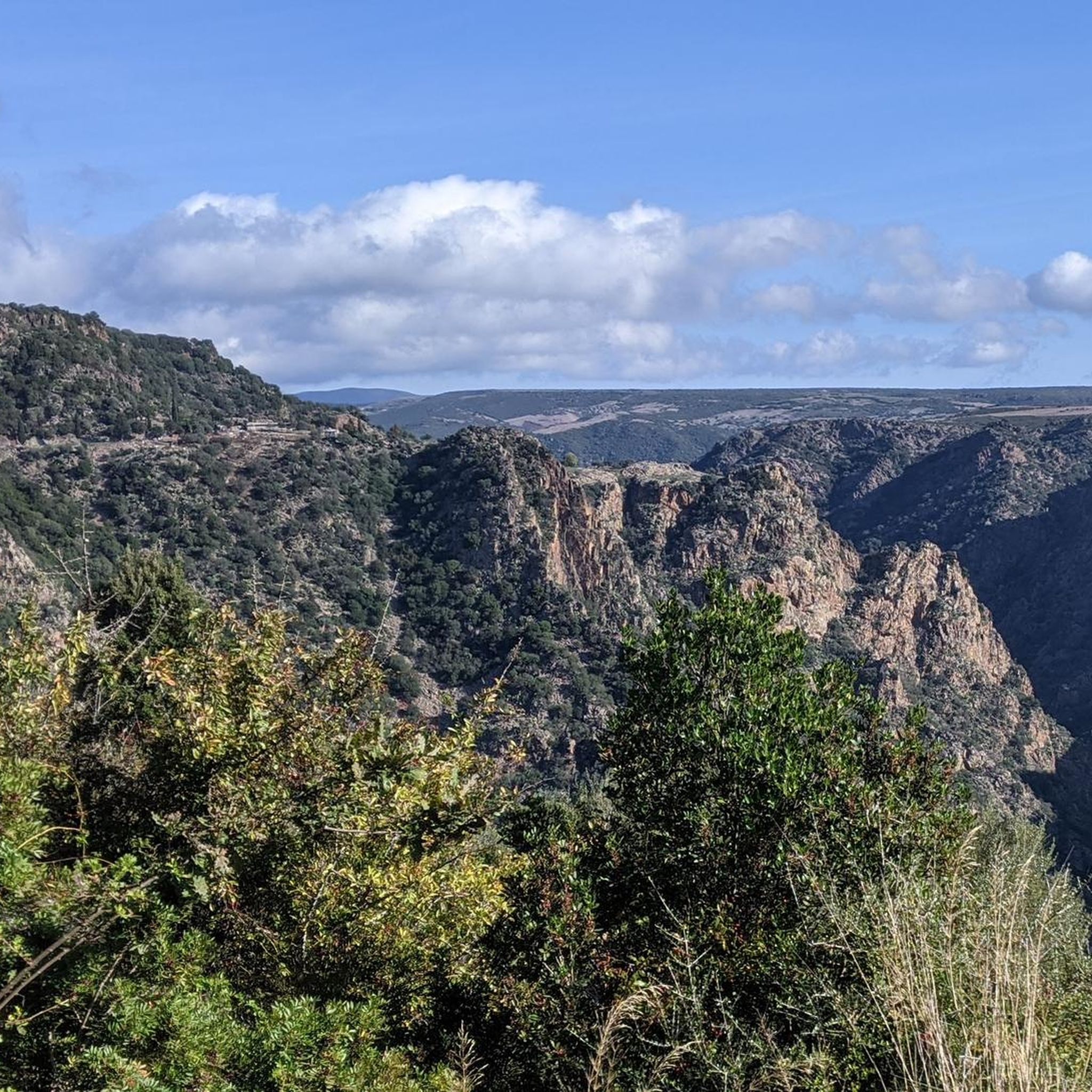
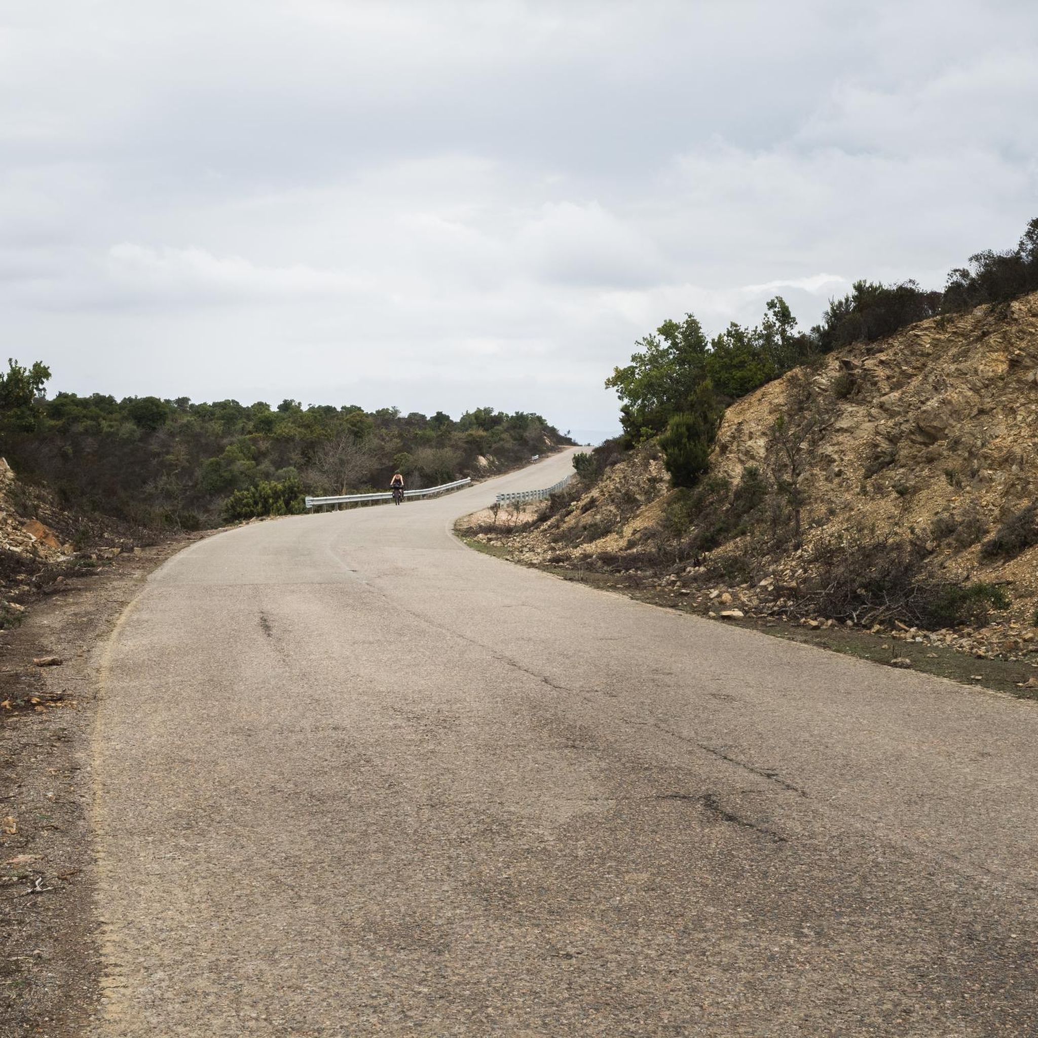
Road cycling routes Siurgus Donigala traverse a landscape characterized by rolling hills, river valleys, and significant elevation changes. The region features routes that often loop around natural landmarks such as Lago di Mulargia and the Flumendosa river basin. Road cyclists can expect varied terrain, from moderate climbs to challenging ascents, reflecting the area's inland topography.
Best road cycling routes around Seurgus Donigala/Siurgus Donigala
- The most popular road cycling route is Lago di Mulargia Loop, a 41.8 miles (67.3 km)…
Last updated: July 8, 2026
5.0
(1)
14
riders
67.3km
03:41
1,400m
1,400m
Hard road ride. Very good fitness required. Mostly well-paved surfaces and easy to ride.
4
riders
99.8km
05:34
2,100m
2,100m
Hard road ride. Very good fitness required. Some segments of this route may be unpaved and difficult to ride.

Sign up for free
1
riders
85.6km
04:05
1,200m
1,200m
Hard road ride. Very good fitness required. Some segments of this route may be unpaved and difficult to ride.
5.0
(1)
17
riders
107km
05:59
2,330m
2,330m
Hard road ride. Very good fitness required. Mostly well-paved surfaces and easy to ride.
6
riders
47.3km
02:21
730m
730m
Moderate road ride. Good fitness required. Mostly well-paved surfaces and easy to ride.
Get access to more routes and recommendations from other explorers.
Sign up for free
Already have an account?
Our route recommendations are based on thousands of hikes, rides, and runs completed by other people on komoot.
Start today with a free account
Your next adventure awaits.
Login or Signup
Popular around Seurgus Donigala/Siurgus Donigala
Tips from the Community

The landscapes that can be seen from the top overlooking the lake are breathtaking
0
0
Small church in the Sadali area, located near the roadman's house of Santa Maria. Across the road there are monumental trees in a layby.
0
0
Pitch with shaded areas at the crossroads for Nurri; there is a fountain that is always active.
0
0
Small spring not marked on maps; always active and cool even in summer, it flows slowly but has two taps for a greater water flow. Excellent stopping and refilling point.
0
0
Small municipality in Trexenta, it hosts one of the stops of the little green train.
0
0
Small aircraft in the parking lot of a restaurant.
0
0

Isili is a small town located at an altitude of 500 meters above sea level, in the heart of the Sarcidiano area. The Museum of Copper and Fabric Art is absolutely worth visiting to learn more about the ancient traditions of the area.
1
0

The Pranu Muttedu Park takes the nickname "Sardinian Stonehenge" because it seems to date back to an age before the renowned British monument. The archaeological site is among the largest in Sardinia.
2
0
Frequently Asked Questions
What is the general difficulty level of road cycling routes around Seurgus Donigala/Siurgus Donigala?
Road cycling in this region is characterized by challenging climbs and significant elevation changes. The network primarily offers options for moderate to difficult ability levels, with no easy routes available. Out of 15 total routes, 12 are rated as difficult and 3 as moderate.
Are there any long-distance road cycling routes in Seurgus Donigala/Siurgus Donigala?
Yes, the region offers several long-distance routes. For example, the Mandas Town Entrance Marker – Lower Lake of the Flumendosa loop from Mandas is a demanding 66.4-mile (106.8 km) trail with substantial elevation gain. Another option is the La Giara and Laconi Loop, which covers 53.2 miles (85.6 km).
What is the best time of year for road biking in Seurgus Donigala/Siurgus Donigala?
The Mediterranean climate of Sardinia generally makes spring (April-May) and autumn (September-October) ideal for road cycling. During these seasons, temperatures are milder, and the landscape is often at its most vibrant, providing comfortable conditions for tackling the region's challenging routes.
Are there any circular road cycling routes in the area?
Yes, many of the routes around Seurgus Donigala/Siurgus Donigala are designed as loops. Popular circular routes include the Lago di Mulargia Loop and the La Giara and Laconi Loop, which offer diverse scenery and return to the starting point.
What kind of scenery can I expect on road cycling routes in Seurgus Donigala/Siurgus Donigala?
Cyclists can expect varied terrain, including rolling hills, river valleys, and routes that often loop around natural landmarks such as Lago di Mulargia and the Flumendosa river basin. The region also features the La Giara plateau and connections to local towns like Laconi, offering diverse scenic experiences.
Are there any road cycling routes accessible by public transport?
Some routes connect to towns with public transport options. For instance, the Mandas Town Entrance Marker – Mandas ARST train station loop from Serri starts near the Mandas ARST train station, which could facilitate access for cyclists using public transport.
What do other road cyclists say about the routes in Seurgus Donigala/Siurgus Donigala?
The routes in Seurgus Donigala/Siurgus Donigala are highly rated by the komoot community, with an average score of 4.6 stars from over 5 reviews. Cyclists often praise the challenging climbs, scenic lake loops, and the diverse terrain that connects local towns.
What interesting landmarks or attractions can I see along the road cycling routes?
The region is rich in historical and natural attractions. Along your rides, you might encounter sites like the Sacred Well of Funtana Coberta, the Pranu Muttedu Archaeological Park, or the Nuraghe Goni. Natural highlights include Lake Mulargia.
Are there any moderate road cycling routes for those looking for a slightly less intense challenge?
While most routes are difficult, there are a few moderate options. The Drinking Water Source – Fountain and staging area loop from Serri is a 29.4-mile (47.3 km) route with a moderate difficulty rating. Another moderate choice is the Mandas Town Entrance Marker – Mandas ARST train station loop from Serri, covering 36.0 miles (58.0 km).
Are the road cycling routes in Seurgus Donigala/Siurgus Donigala suitable for families with young children?
Given that all routes are rated as moderate to difficult with significant elevation changes, the road cycling routes in Seurgus Donigala/Siurgus Donigala are generally not recommended for families with young children or beginner cyclists. They are better suited for experienced riders seeking a challenge.
Are there any specific viewpoints or scenic spots recommended for road cyclists?
The routes often provide stunning views, particularly those that circle natural landmarks. The Lago di Mulargia Loop offers picturesque vistas of the lake, while the La Giara and Laconi Loop provides diverse scenery across the La Giara plateau and surrounding countryside.
Most popular routes around Seurgus Donigala/Siurgus Donigala
Most popular attractions around Seurgus Donigala/Siurgus Donigala

Get inspired with the komoot mobile app


Explore more
Browse the best Road cycling routes in other regions.
