The best cycling routes around Bàini/Villa Verde
4.6
(11)
171
riders
23
rides
Touring cycling routes around Bàini/Villa Verde offer a range of experiences, primarily characterized by challenging terrain with significant elevation changes. The region features routes that ascend hills and provide views, such as those around Monte Arci. While there are no easy routes, the area includes moderate and difficult paths, often passing through varied landscapes including ponds and local towns.
Best touring cycling routes around Bàini/Villa Verde
- The most popular touring cycling route is Monte Arci climb – Monte Arci viewpoint…
Last updated: July 8, 2026
2
riders
57.2km
03:48
880m
880m
Hard bike ride. Very good fitness required. Mostly paved surfaces. Suitable for all skill levels.
5.0
(2)
23
riders
Hard bike ride. Very good fitness required. You may need to push your bike for some segments of this route.

Sign up for free
21
riders
48.3km
04:59
1,350m
1,350m
Hard bike ride. Very good fitness required. You may need to push your bike for some segments of this route.
14
riders
11.8km
01:15
510m
510m
Hard bike ride. Very good fitness required. Mostly paved surfaces. Suitable for all skill levels.
12
riders
35.7km
03:28
960m
960m
Hard bike ride. Very good fitness required. You may need to push your bike for some segments of this route.
Get access to more routes and recommendations from other explorers.
Sign up for free
Already have an account?
Our route recommendations are based on thousands of hikes, rides, and runs completed by other people on komoot.
Start today with a free account
Your next adventure awaits.
Login or Signup


Tips from the Community


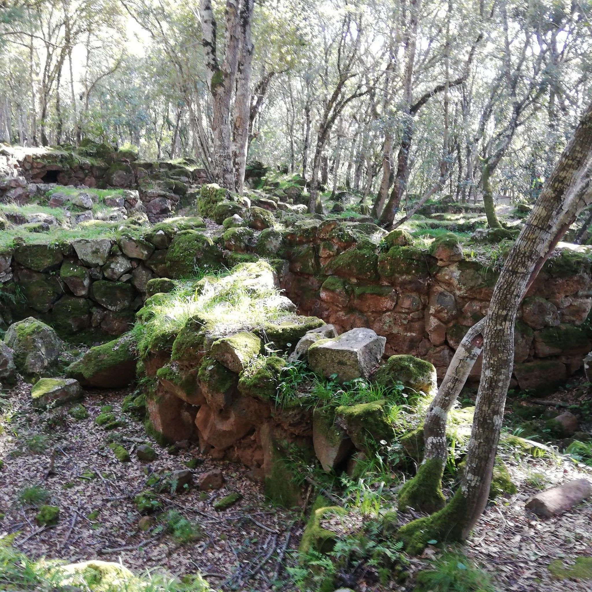
The Nuraghe San Marco stands on the eastern outskirts of Genuri, on the slopes of the southwestern side of the Jara Manna, the largest and most famous Giara. The basalt used to build the monument came from the plateau, which was also a source of food and resources for the peoples who inhabited the Marmilla region, while marl was used for the restoration work that took place in later phases. The building has a complex structure, consisting of a keep and three towers, and it is surrounded by a rampart with five other towers, except for the north side, perhaps because the builders considered the natural protection of the Giara plateau sufficient. Curiously, the southeast tower has a smaller diameter than the other two, while the northeast wall, which follows the profile of the central tower, has sometimes been interpreted as the wall of a fourth corner tower. In the space between the keep and the connecting curtain walls between the towers is a crescent-shaped courtyard, accessed through the entrance to the building on the south side. From the courtyard, which also contains a well, one enters the keep and the corridors leading to the side towers. Inside the keep, the space is cruciform, with two niches at the front and a third opposite the staircase. The northwest tower features six loopholes, two niches, and the absence of an entrance corridor. It opens directly onto the courtyard. Archaeological research has revealed that between the Late Bronze Age and the Late Bronze Age, a destructive event occurred, with relative collapse and subsequent rebuilding: San Marco probably witnessed a – still mysterious – period of crisis and conflict between the Nuragic tribes between the 2nd and 1st millennium BC. The site shows traces of human presence in the Punic period, and there was undoubtedly a settlement there between the late Roman period and the Early Middle Ages. At least eleven "new" rooms were built or added over the nuraghe, some of which probably served as food storage rooms, while the courtyard and towers were used for various purposes, sometimes even for burials. https://www.sardegnaturismo.it/en/explore/nuraghe-san-marco
0
0

Disused quarry, known by the name of "ziu Luisu". In the open air, there is also a tunnel closed by an iron gate. A little further on, on the right, a long descent begins that leads back to the country church of Santa Suia
0
0

Inside are exhibited reproductions of ancient obsidian tools, and the works of the sculptor Karmine Piras.
1
0

The Is Benas lake is located next to the pine forest of the same name. It is located in an arid area, between granite rocks.
0
0

The pine forest of Is Benas is an oasis of peace and freshness, ideal for relaxing walks and picnics.
0
0
Here is the Luisu Sanna Mine, an old perlite quarry that was once the beating heart of local mining activity.
1
0
The Therapeutic Community at Sorgenti, founded on April 28, 1988, is a residential facility that welcomes up to 24 adult male users. Located in one of the most suggestive places of Monte Arci, the facility is immersed in a vast pine forest, surrounded by woods, streams, a small lake and natural springs.
0
0
Frequently Asked Questions
How many touring cycling routes are available in Bàini/Villa Verde?
There are over 20 touring cycling routes around Bàini/Villa Verde, offering a variety of experiences for cyclists.
What is the general difficulty level of touring cycling routes in Bàini/Villa Verde?
The touring cycling routes in Bàini/Villa Verde are primarily characterized by challenging terrain with significant elevation changes. There are no easy routes; the area features 5 moderate and 15 difficult paths, often involving substantial climbs.
Are there any family-friendly or beginner touring cycling routes in Bàini/Villa Verde?
Due to the challenging terrain and significant elevation changes, there are no easy touring cycling routes in Bàini/Villa Verde. The paths are generally moderate to difficult, making them less suitable for beginners or young families.
What kind of landscapes can I expect to see on touring cycling routes in Bàini/Villa Verde?
You can expect varied landscapes, including routes that ascend hills and provide views, such as those around Monte Arci. Some paths also pass through local towns and by natural features like Is Benas Pond.
What are some notable natural attractions or landmarks I can see along the touring cycling routes?
Along the routes, you can encounter several natural monuments and viewpoints. Highlights include Monte Arci - Trebina Longa, the Rio Is Salonis Waterfall, and the Monte Arci - Beda Manca Viewpoint. You might also pass by the Perlite quarry and Is Arutas Santas.
Are there any long-distance touring cycling routes in Bàini/Villa Verde?
Yes, there are several longer routes. For example, the Sa Tanca Manna loop from Abas/Ales covers 35.9 miles (57.7 km) with significant elevation gain, making it a substantial ride.
What do other touring cyclists enjoy most about cycling in Bàini/Villa Verde?
The area is highly rated by the komoot community, with an average score of 4.6 stars from 9 reviews. Cyclists often praise the challenging climbs, rewarding views, and the varied terrain that connects local points of interest.
Can you recommend a challenging loop route with a viewpoint?
For a challenging loop with a great view, consider the Monte Arci viewpoint loop from La Madonnina - Tiria. This difficult route covers 7 miles (11.2 km) and includes a substantial climb to a viewpoint.
Are there any routes that pass by a pond or water feature?
Yes, the Monte Arci - Trebina Longa – Is Benas Pond loop from La Madonnina - Tiria is a difficult 19.8-mile (31.8 km) path that includes significant elevation gain and passes directly by Is Benas Pond.
What is a good moderate touring cycling route in the area?
A good moderate option is the Bike loop from Abas/Ales. This 15.6-mile (25.1 km) trail leads through the local area and is often completed in about 1 hour 34 minutes, offering a less strenuous but still engaging ride.
What is the longest touring cycling route available in Bàini/Villa Verde?
The longest route listed is the Monte Arci climb – Monte Arci viewpoint loop from La Madonnina - Tiria, which is 30.0 miles (48.2 km) long and features substantial climbing to a viewpoint.
Most popular attractions around Bàini/Villa Verde

Get inspired with the komoot mobile app


Explore more
Browse the best Cycling routes in other regions.
