The best cycling routes around Arruinas/Ruinas
4.0
(1)
16
riders
5
rides
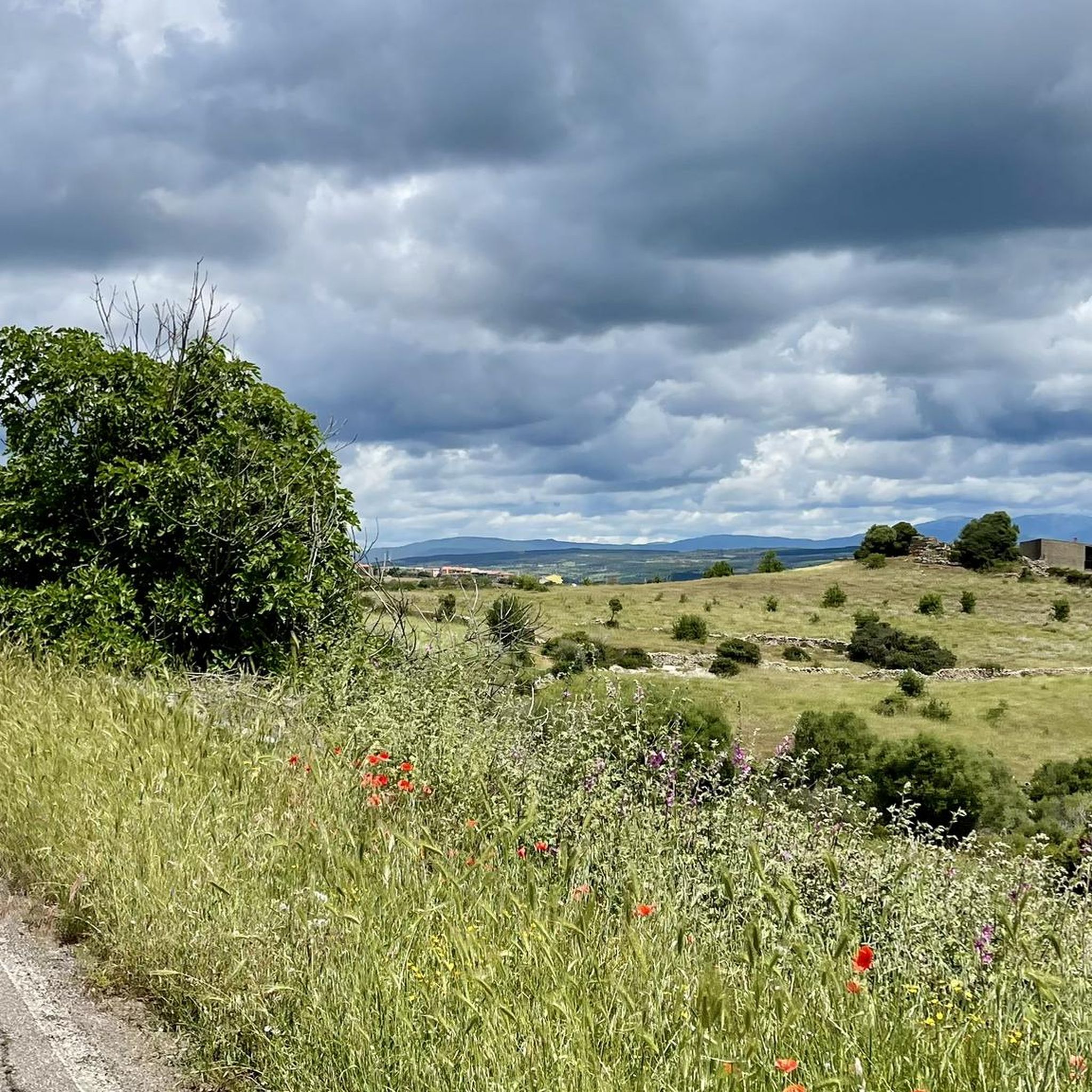
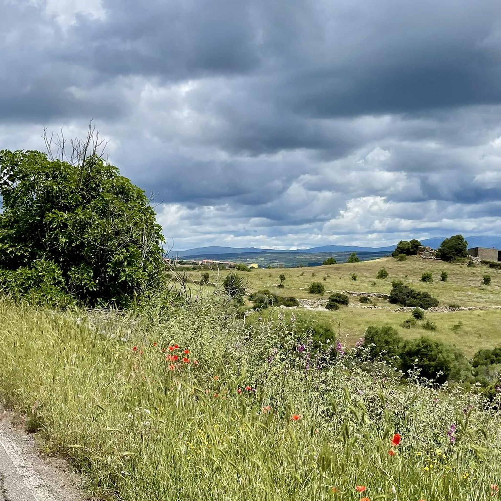
Touring cycling around Arruinas/Ruinas features a landscape characterized by rolling hills, river valleys, and historical sites. The region includes areas with archaeological ruins and ancient structures, alongside natural features such as the Tirso River and the Giara plateau. Terrain varies, offering routes that traverse both open countryside and more secluded paths.
Best touring cycling routes around Arruinas/Ruinas
- The most popular touring cycling route is Aragonese House of Fordongianus – Fordongianus Roman Baths loop from Fordongianus, a 9.0 miles (14.5…
Last updated: October 11, 2026
4.0
(1)
7
riders
54.6km
03:47
1,000m
1,000m
Hard bike ride. Very good fitness required. Mostly paved surfaces. Suitable for all skill levels.
3
riders
36.0km
02:42
520m
520m
Hard bike ride. Very good fitness required. You may need to push your bike for some segments of this route.

51.6km
03:19
540m
540m
Hard bike ride. Very good fitness required. Mostly paved surfaces. Suitable for all skill levels.
2
riders
Hard bike ride. Very good fitness required. Mostly paved surfaces. Suitable for all skill levels.
2
riders
50.6km
03:14
210m
210m
Moderate bike ride. Good fitness required. Mostly paved surfaces. Suitable for all skill levels.
Our route recommendations are based on thousands of hikes, rides, and runs completed by other people on komoot.
Start today with a free account
Your next adventure awaits.


Tips from the Community

The Nuraghe San Marco stands on the eastern outskirts of Genuri, on the slopes of the southwestern side of the Jara Manna, the largest and most famous Giara. The basalt used to build the monument came from the plateau, which was also a source of food and resources for the peoples who inhabited the Marmilla region, while marl was used for the restoration work that took place in later phases. The building has a complex structure, consisting of a keep and three towers, and it is surrounded by a rampart with five other towers, except for the north side, perhaps because the builders considered the natural protection of the Giara plateau sufficient. Curiously, the southeast tower has a smaller diameter than the other two, while the northeast wall, which follows the profile of the central tower, has sometimes been interpreted as the wall of a fourth corner tower. In the space between the keep and the connecting curtain walls between the towers is a crescent-shaped courtyard, accessed through the entrance to the building on the south side. From the courtyard, which also contains a well, one enters the keep and the corridors leading to the side towers. Inside the keep, the space is cruciform, with two niches at the front and a third opposite the staircase. The northwest tower features six loopholes, two niches, and the absence of an entrance corridor. It opens directly onto the courtyard. Archaeological research has revealed that between the Late Bronze Age and the Late Bronze Age, a destructive event occurred, with relative collapse and subsequent rebuilding: San Marco probably witnessed a – still mysterious – period of crisis and conflict between the Nuragic tribes between the 2nd and 1st millennium BC. The site shows traces of human presence in the Punic period, and there was undoubtedly a settlement there between the late Roman period and the Early Middle Ages. At least eleven "new" rooms were built or added over the nuraghe, some of which probably served as food storage rooms, while the courtyard and towers were used for various purposes, sometimes even for burials. https://www.sardegnaturismo.it/en/explore/nuraghe-san-marco
0
0

Oristano is a large city on the west coast of Sardinia. The city center is perfect for strolling, and there are many cafes and gelaterias where you can replenish your carbohydrate stores.
1
0
The stone tower Nuraghe Bau Mendula is located on a hilltop and is usually clearly visible from the narrow country road that passes by here. The tower complex is dated to around 1400 to 1000 BC.
0
0

It's worth a visit, the architecture is interesting and the audio guide gives you detailed information about what you see. Entrance to the baths is included in the price (or vice versa). So if you see one you can also see the other as they are just a few minutes drive or probably 5-10 minutes walk away
1
0

Detailed information about this archaeological highlight can be found at: https://virtualarchaeology.sardegnacultura.it/index.php/de/archaeologischer-fundplatz/periodo-nuragico/villaggio-nuragico-di-su-nuraxi Very impressive. The 15 EUR should be invested.
0
0
Detailed information about this archaeological highlight can be found at: https://virtualarchaeology.sardegnacultura.it/index.php/de/archaeologischer-fundplatz/periodo-nuragico/villaggio-nuragico-di-su-nuraxi Brochure with 3D reconstruction: https://virtualarchaeology.sardegnacultura.it/images/guide/Campidano/Medio-Campidano_Tedesco.pdf Already very impressive. The 15 EUR should be invested.
1
0

It should be very nice, unfortunately not accessible
0
0

By the pond, at the entrance to Santa Giusta, excellent for a little break.
0
0
Frequently Asked Questions
How many touring cycling routes are available in Arruinas/Ruinas?
There are 4 touring cycling routes available in the Arruinas/Ruinas region, offering diverse experiences through historical sites and natural landscapes.
What is the overall difficulty level for touring cycling in Arruinas/Ruinas?
The touring cycling routes in Arruinas/Ruinas are generally challenging. All 4 available routes are rated as 'difficult', often featuring significant elevation changes and longer distances. There are no easy or moderate routes listed in this selection.
What kind of terrain can I expect on touring cycling routes in Arruinas/Ruinas?
You can expect a varied landscape characterized by rolling hills, river valleys, and historical sites. Routes traverse open countryside, archaeological ruins, and ancient structures, including areas near the Tirso River and the Giara plateau.
Are there circular touring cycling routes in Arruinas/Ruinas?
Yes, all the touring cycling routes listed for Arruinas/Ruinas are circular loops. For example, you can explore the Aragonese House of Fordongianus – Fordongianus Roman Baths loop from Fordongianus, which is a moderate 9-mile ride.
What are some notable historical sites or landmarks I can see while touring cycling in Arruinas/Ruinas?
The region is rich in historical sites. You can visit the Fordongianus Roman Baths and Casa Aragonese. The Su Nuraxi of Barumini – Nuraghe San Marco loop from Santu Antoni Arruinas/Villa Sant'Antonio specifically offers views of ancient Nuragic settlements.
Are there opportunities to see wildlife on the touring cycling routes?
Yes, particularly if you venture towards the Giara plateau. The route Giara Horses – Abandoned Farmhouse loop from Senis is named after the wild horses found in that area, offering a chance to observe local wildlife.
What do other touring cyclists say about the routes in Arruinas/Ruinas?
The routes in Arruinas/Ruinas are highly rated by the komoot community, with an average score of 4.5 stars from over 2 reviews. Cyclists often appreciate the historical context and the scenic riverine landscapes, such as those found on the Busachi Bridge over the Tirso River – Santa Chiara Dam loop from Fordongianus.
Are there any routes that pass by significant natural features?
Yes, several routes highlight natural features. The Busachi Bridge over the Tirso River – Santa Chiara Dam loop from Fordongianus takes you through riverine landscapes and past the Santa Chiara Dam. You can also see the Tirso River and Stone Bridge in Fordongianus.
What is the longest touring cycling route available in this guide?
The longest route featured in this guide is the Su Nuraxi of Barumini – Nuraghe San Marco loop from Santu Antoni Arruinas/Villa Sant'Antonio, covering 35.5 miles (57.1 km) and offering extensive views of archaeological landscapes.
Are there any routes that explore ancient megalithic structures?
Yes, the Menhir of Biru e Concas loop from Samugheo specifically allows you to explore ancient megalithic structures like menhirs, providing a unique historical cycling experience.
Most popular routes around Arruinas/Ruinas
Most popular attractions around Arruinas/Ruinas

Get inspired with the komoot mobile app


Explore more
Browse the best Cycling routes in other regions.
