The best walks and hikes around Abas/Ales
4.4
(81)
274
hikers
35
hikes
Hiking around Abas/Ales offers a diverse landscape characterized by volcanic formations, dense Mediterranean scrub, and rolling hills. The region features trails that traverse the slopes of Monte Arci, an ancient volcano, providing varied terrain. Hikers can expect paths winding through wooded areas and open stretches with views of the surrounding countryside. The area's geology contributes to unique rock formations and a rich natural environment.
Best hiking trails around Abas/Ales
- The most popular hiking route is Acquafrida – Monte Arci -…
Last updated: June 24, 2026
1.5
(2)
8
hikers
12.1km
03:30
300m
300m
Moderate hike. Good fitness required. Easily-accessible paths. Suitable for all skill levels.
16
hikers
Moderate hike. Good fitness required. Easily-accessible paths. Suitable for all skill levels.

Sign up for free
3.8
(4)
8
hikers
11.5km
03:54
570m
570m
Moderate hike. Good fitness required. Easily-accessible paths. Suitable for all skill levels.
4.3
(4)
8
hikers
Easy hike. Great for any fitness level. Easily-accessible paths. Suitable for all skill levels.
5.0
(2)
13
hikers
Moderate hike. Good fitness required. Mostly accessible paths. Sure-footedness required.
Get access to more routes and recommendations from other explorers.
Sign up for free
Already have an account?
Our route recommendations are based on thousands of hikes, rides, and runs completed by other people on komoot.
Start today with a free account
Your next adventure awaits.
Login or Signup

Tips from the Community

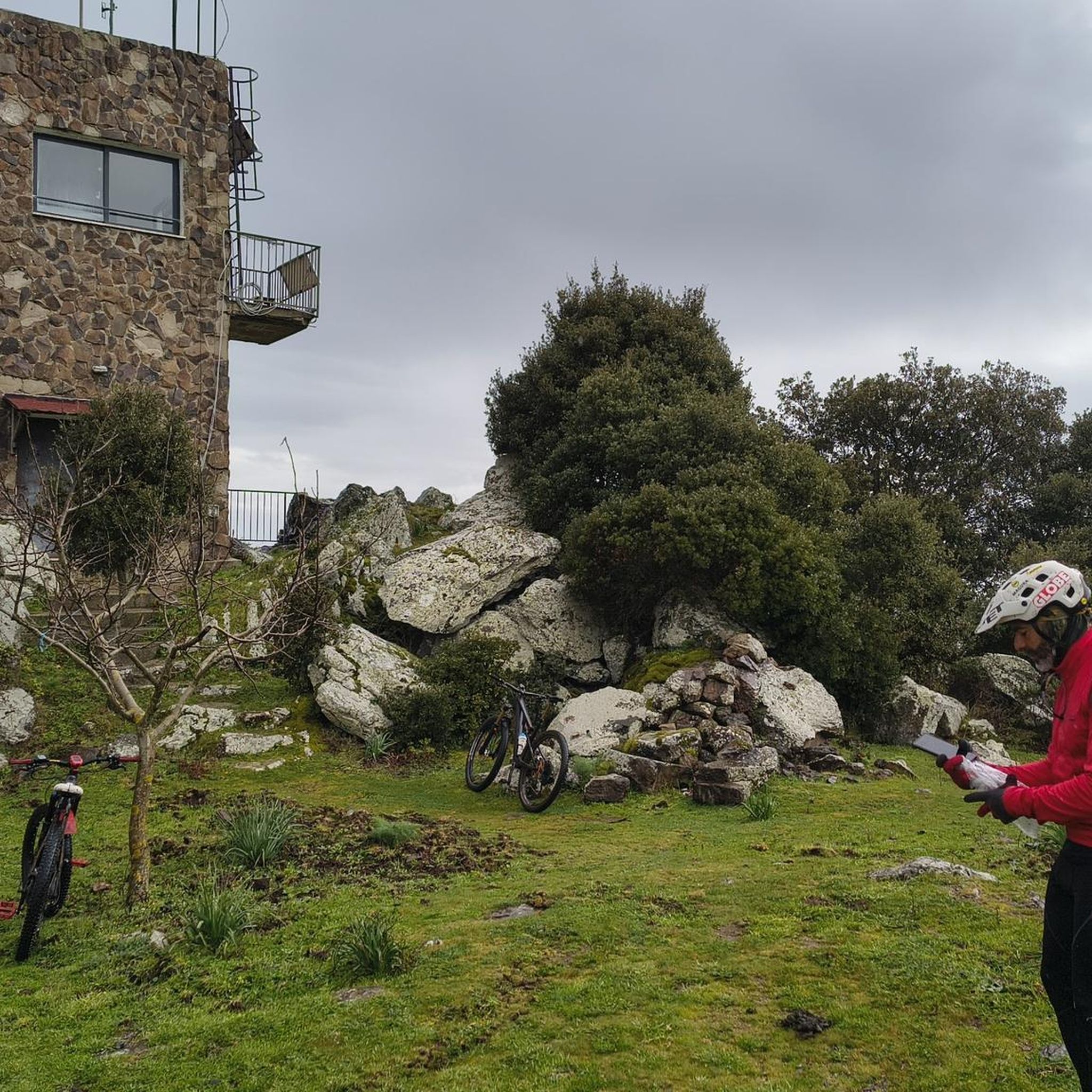
Perfect starting point for all hikes in the area
0
0


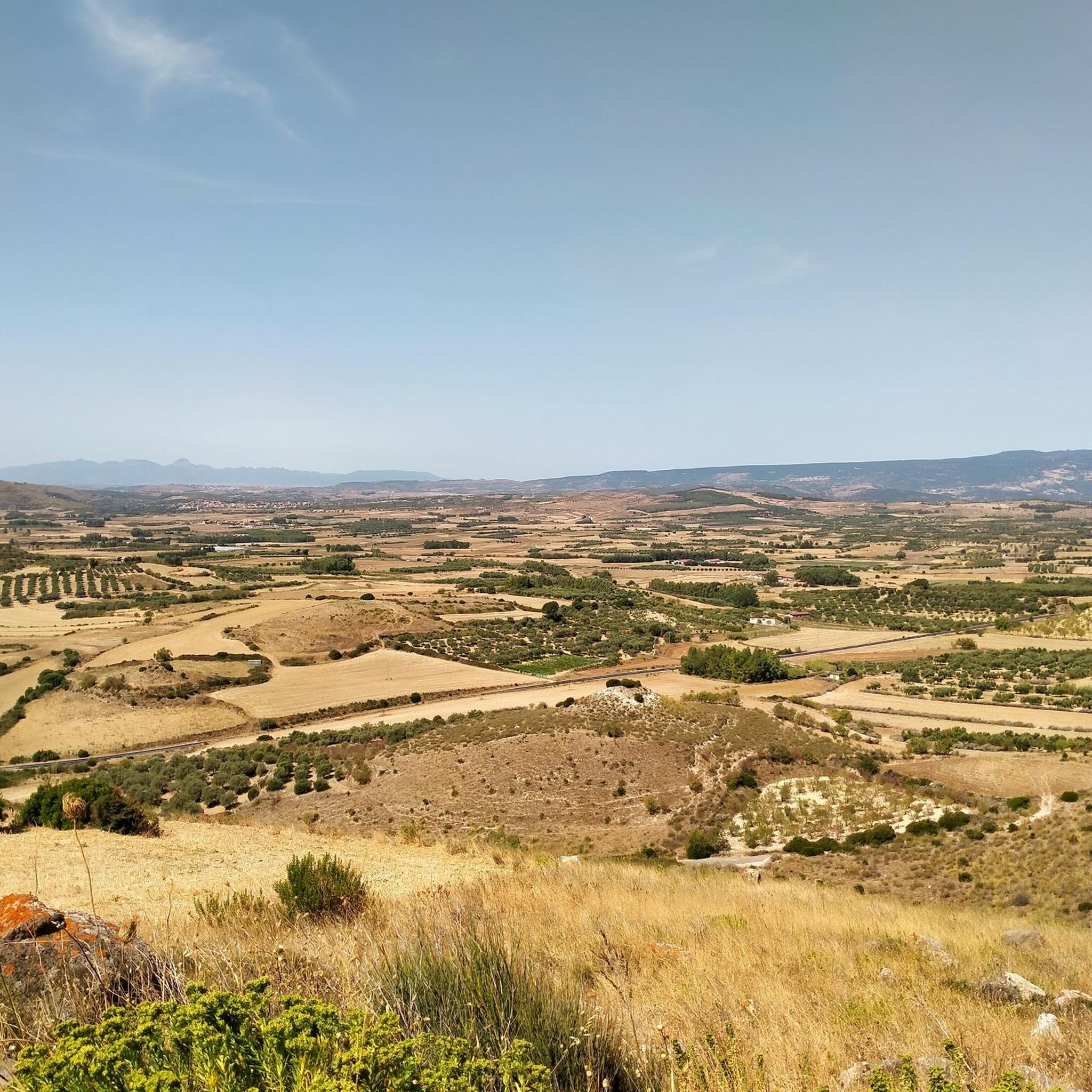
The view of the Oristano valley from Monte Arci is spectacular
1
0
Volcanic black stone, highest point of Monte Arci
1
0


Summit of Monte Arci - about 820 m
2
0
The highest point of Monte Arci at 812 m above sea level is a large basaltic rock also visible from the S.S. 131. There are various routes to get there, all very hard with gradients of up to 20% in some sections, but within a spectacular wooded setting.
5
0
Starting from the pedemontana road or from the octagonal building, you arrive by following two different routes: through the gates. passing through mitza sa figu and cuccuru ureu, or by the "diagonal" whose entrance is located just ahead of the octagon. In both cases, the route on a fairly regular dirt road presents points with a considerable slope. Once you arrive at the belvedere (about 600 m above sea level) where there is also a service building, you can enjoy a view that embraces the entire Gulf of Oristano
3
0
Frequently Asked Questions
How many hiking trails are available in Abas/Ales?
There are over 30 hiking routes around Abas/Ales, offering a diverse range of experiences. These trails traverse volcanic formations, dense Mediterranean scrub, and rolling hills, primarily around Monte Arci.
Are there easy hiking trails suitable for beginners in Abas/Ales?
Yes, Abas/Ales offers 8 easy hiking trails perfect for beginners or those looking for a relaxed walk. One such route is the View of Beda Manca Valley – Acquafrida loop from P.ta Genna Spina, which is just over 4 km long.
Are there any circular walks in Abas/Ales?
Many of the hiking routes in Abas/Ales are circular, allowing you to start and end at the same point. An example is the Punta su Ventosu – View of Beda Manca Valley loop from Sennisceddu, a moderate 7 km path offering scenic views.
What kind of scenery can I expect while hiking around Abas/Ales?
The region of Abas/Ales is characterized by its unique volcanic geology, particularly around Monte Arci. You'll encounter trails winding through Mediterranean scrub, wooded areas, and open stretches that provide expansive views of the surrounding countryside and distinctive rock formations.
What are some interesting natural landmarks or attractions to see along the trails?
Hikers can explore several notable landmarks. The Monte Arci - Beda Manca Viewpoint offers panoramic vistas. You can also discover ancient sites like the Tomb of the Giants Sa Domu e S'Orku or the Domus de Janas Sa Domu e S'Orku. For a natural spectacle, visit the Rio Is Salonis Waterfall.
What do other hikers enjoy most about hiking in Abas/Ales?
The hiking experience in Abas/Ales is highly rated by the komoot community, with an average score of 4.3 stars from over 60 reviews. Hikers often praise the diverse terrain, the unique volcanic landscapes, and the rewarding views from points like Monte Arci - Trebina Longa.
Are there any longer hiking routes for more experienced hikers?
Yes, for those seeking a longer challenge, routes like the Acquafrida – Monte Arci - Trebina Longa loop from Sennisceddu cover approximately 12.3 km with significant elevation gain, offering a moderate yet rewarding experience.
Is Abas/Ales a good destination for family-friendly hikes?
While specific 'family-friendly' routes aren't explicitly categorized, the region's 8 easy trails provide suitable options for families. These shorter, less strenuous paths allow for an enjoyable outdoor experience for all ages amidst the natural beauty of Monte Arci.
What is the best time of year to go hiking in Abas/Ales?
Given the Mediterranean climate, spring (April-May) and autumn (September-October) are generally the best times for hiking in Abas/Ales. Temperatures are milder, and the landscape is vibrant. Summer can be very hot, while winter offers cooler, sometimes wet, conditions.
Are there any trails that offer views of the Beda Manca Valley?
Yes, several trails provide excellent views of the Beda Manca Valley. The Punta su Ventosu – View of Beda Manca Valley loop from Sennisceddu is specifically designed to showcase these vistas, traversing local hills for optimal viewing.
Can I find trails that lead to a lookout point on Monte Arci?
Absolutely. The Monte Arci lookout – Monte Arci - Trebina Longa loop from Trebina Lada is a popular choice, leading you directly to a prominent lookout point on Monte Arci, offering extensive views of the surrounding area.
Most popular attractions around Abas/Ales

Get inspired with the komoot mobile app


Explore more
Browse the best Hikes in other regions.
