The best walks and hikes around Crucuris/Curcuris
4.3
(41)
134
hikers
22
hikes
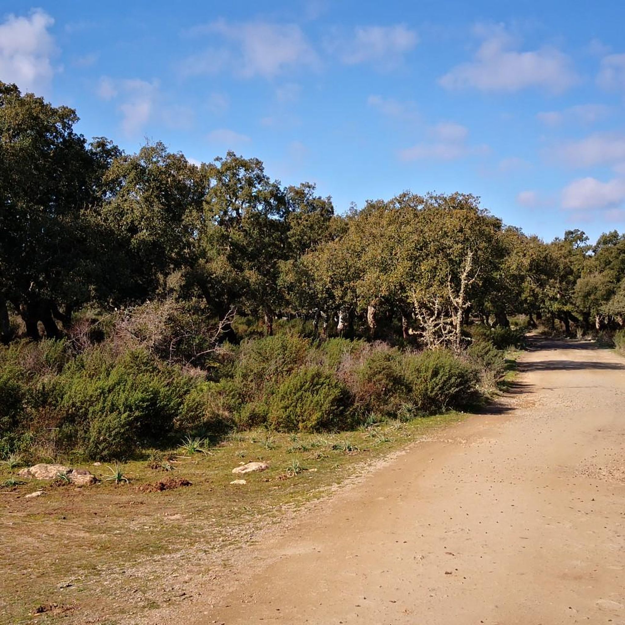
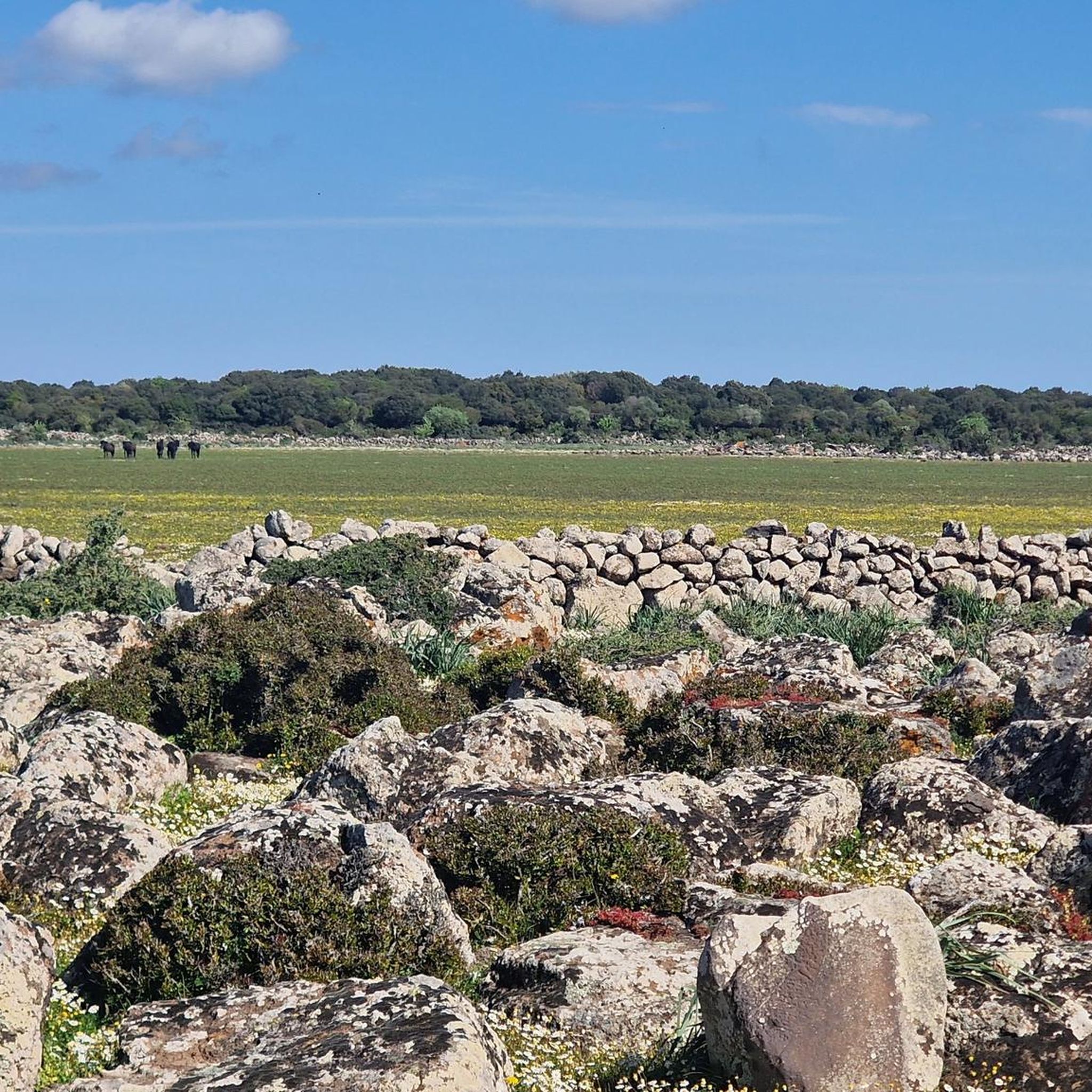
Hiking around Crucuris/Curcuris offers diverse natural landscapes, characterized by the foothills of Mount Arci and its basaltic rock formations. The region features gentle hills covered by ancient oak and holm oak forests, along with river valleys like Rio sa Murta. Unique geological formations such as the Giara di Siddi, a basaltic table, add to the varied terrain. These features provide a range of hiking opportunities across the Province of Oristano, Sardinia.
Best hiking trails around Crucuris/Curcuris
- The most popular hiking route is Acquafrida – Monte Arci - Trebina Longa loop from Sennisceddu, a 7.6 miles (12.3 km) trail that takes 3 hours 33 minutes to complete, offering views of Monte Arci.
- Another top favourite among local hikers is Punta su Ventosu – View of Beda Manca Valley loop from Sennisceddu, a moderate 4.4 miles (7.0 km) path. This route provides scenic vistas of the Beda Manca Valley.
- Local hikers also love the Monte Arci lookout – Monte Arci - Trebina Longa loop from Trebina Lada, a 7.2 miles (11.5 km) trail leading through the Monte Arci area, often completed in about 3 hours 53 minutes.
- Hiking around Crucuris/Curcuris is defined by basaltic peaks, ancient oak forests, and gentle river valleys. The network offers options for various ability levels, from easy paths to more demanding routes.
- The routes in Crucuris/Curcuris are highly rated by the komoot community with an average score of 4.2 stars from over 16 reviews. More than 70 hikers have used komoot to explore Crucuris/Curcuris's varied terrain.
Last updated: June 24, 2026
1.5
(2)
8
hikers
12.1km
03:30
300m
300m
Moderate hike. Good fitness required. Easily-accessible paths. Suitable for all skill levels.
16
hikers
Moderate hike. Good fitness required. Easily-accessible paths. Suitable for all skill levels.

Sign up for free
3.8
(4)
8
hikers
11.5km
03:54
570m
570m
Moderate hike. Good fitness required. Easily-accessible paths. Suitable for all skill levels.
5.0
(2)
13
hikers
Moderate hike. Good fitness required. Mostly accessible paths. Sure-footedness required.
4.3
(4)
7
hikers
4.68km
01:20
100m
100m
Easy hike. Great for any fitness level. Easily-accessible paths. Suitable for all skill levels.
Get access to more routes and recommendations from other explorers.
Sign up for free
Already have an account?
Our route recommendations are based on thousands of hikes, rides, and runs completed by other people on komoot.
Start today with a free account
Your next adventure awaits.
Login or Signup

Tips from the Community

Perfect starting point for all hikes in the area
0
0


The view of the Oristano valley from Monte Arci is spectacular
1
0
Volcanic black stone, highest point of Monte Arci
1
0


Summit of Monte Arci - about 820 m
2
0
The highest point of Monte Arci at 812 m above sea level is a large basaltic rock also visible from the S.S. 131. There are various routes to get there, all very hard with gradients of up to 20% in some sections, but within a spectacular wooded setting.
5
0
Starting from the pedemontana road or from the octagonal building, you arrive by following two different routes: through the gates. passing through mitza sa figu and cuccuru ureu, or by the "diagonal" whose entrance is located just ahead of the octagon. In both cases, the route on a fairly regular dirt road presents points with a considerable slope. Once you arrive at the belvedere (about 600 m above sea level) where there is also a service building, you can enjoy a view that embraces the entire Gulf of Oristano
3
0
Frequently Asked Questions
How many hiking trails are available around Crucuris/Curcuris?
There are over 15 hiking trails available around Crucuris/Curcuris, catering to various skill levels. You'll find options ranging from easy walks to more challenging routes, primarily in the foothills of Mount Arci.
Are there any family-friendly hiking routes in the area?
Yes, Crucuris/Curcuris offers several easy paths suitable for families. For example, the View of Beda Manca Valley – Acquafrida loop from P.ta Genna Spina is an easy route with minimal elevation gain, perfect for a relaxed family outing.
Can I bring my dog on the hiking trails around Crucuris/Curcuris?
While specific regulations for dogs on trails are not detailed, the natural and rural character of the Crucuris/Curcuris area, particularly around Mount Arci, generally allows for dog-friendly hiking. It's always advisable to keep dogs on a leash, especially in areas with wildlife or livestock, and to respect local signage.
What unique natural attractions can I discover while hiking?
The region boasts several unique natural attractions. You can hike to the Rio Is Salonis Waterfall, a beautiful natural monument with two distinct drops. Another significant geological feature is the Giara di Siddi, a basaltic table formed by ancient lava flows, offering stunning views and archaeological interest.
Are there any circular hiking routes available?
Yes, many of the trails around Crucuris/Curcuris are designed as loops. A popular moderate option is the Acquafrida – Monte Arci - Trebina Longa loop from Sennisceddu, which takes about 3.5 hours. Another great choice is the Monte Arci lookout – Monte Arci - Trebina Longa loop from Trebina Lada.
What kind of landscapes will I encounter on the hikes?
You will experience diverse landscapes, from the basaltic peaks and wooded settings of Mount Arci, including its highest point Monte Arci - Trebina Longa, to gentle hills covered in ancient oaks, red mastic trees, and holm oaks. River valleys like Rio sa Murta also offer scenic pathways.
What historical or cultural sights can I see along the trails?
Beyond natural beauty, the area is rich in history. You can find remnants of Bronze Age settlements, such as nuraghes, and visible Roman-era structures. The Tomb of the Giants Sa Domu e S'Orku is a significant pre-Nuragic and Nuragic archaeological legacy worth exploring.
What do other hikers enjoy most about the trails in Crucuris/Curcuris?
The trails in Crucuris/Curcuris are highly rated by the komoot community, with an average score of 4.2 stars from over 16 reviews. Hikers often praise the diverse terrain, from basaltic peaks to ancient oak forests, and the variety of options for different ability levels.
When is the best time of year to go hiking in Crucuris/Curcuris?
The region offers pleasant hiking conditions for much of the year. Spring is ideal for wildflowers, while autumn provides comfortable temperatures and beautiful foliage. Summers can be hot, so early morning or late afternoon hikes are recommended. Winters are generally mild, making it possible to hike year-round, though some routes on Mount Arci can be steep and require sturdy shoes.
Are there any viewpoints with panoramic vistas?
Yes, the area offers several points with expansive views. The Monte Arci - Beda Manca Viewpoint, at approximately 600 meters above sea level, provides stunning panoramas. Routes like Punta su Ventosu – View of Beda Manca Valley loop from Sennisceddu are specifically designed to showcase these scenic vistas.
What is the difficulty level of hikes in Crucuris/Curcuris?
The hiking trails around Crucuris/Curcuris cater to a range of abilities. You'll find 7 easy routes, 10 moderate routes, and 1 difficult route. This means there are options for beginners seeking gentle walks as well as more demanding treks for experienced hikers, particularly on Mount Arci.
Most popular routes around Crucuris/Curcuris
Most popular attractions around Crucuris/Curcuris

Get inspired with the komoot mobile app


Explore more
Browse the best Hikes in other regions.
