The best walks and hikes around Schwarzenbach an der Pielach
4.7
(2495)
15,146
hikers
24
hikes
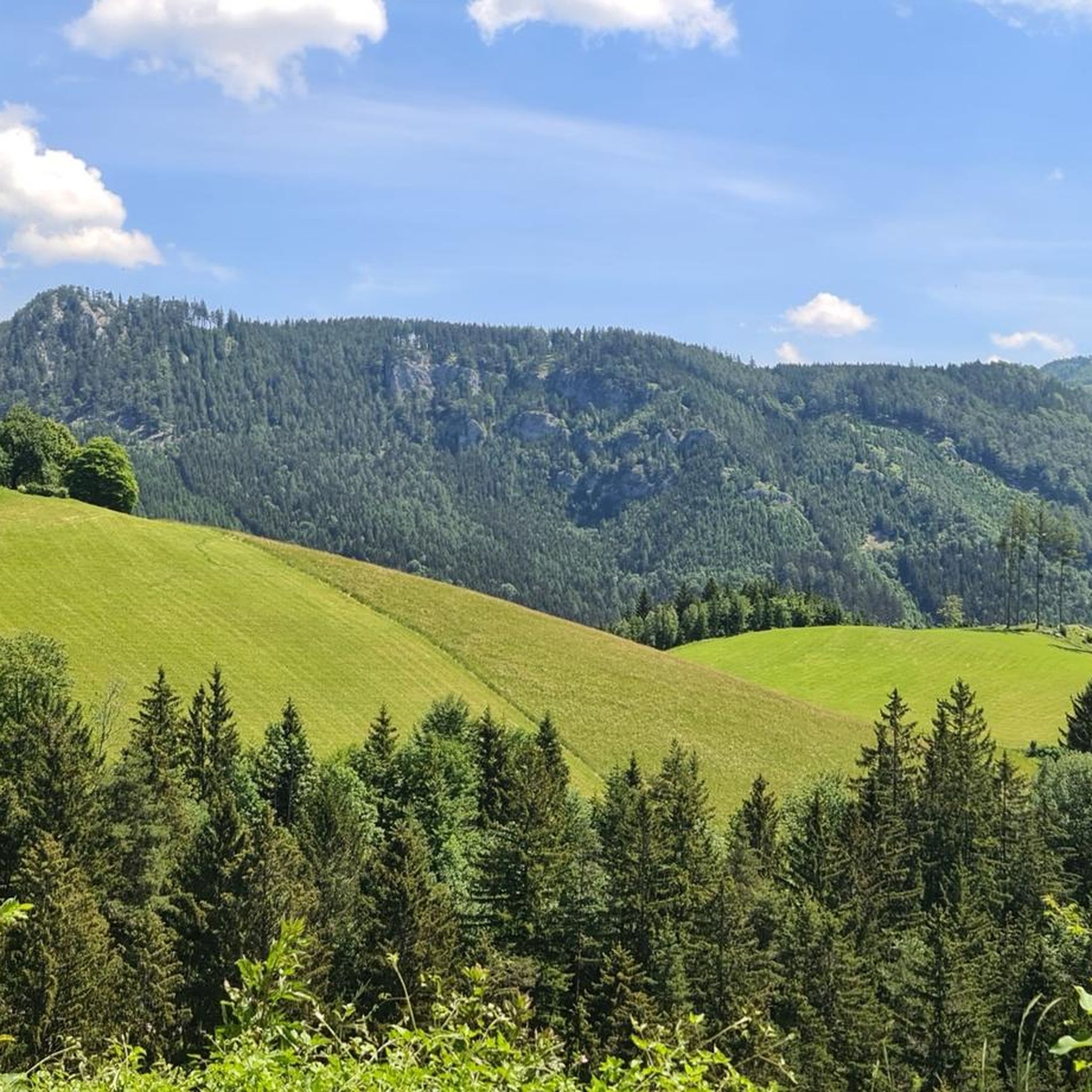
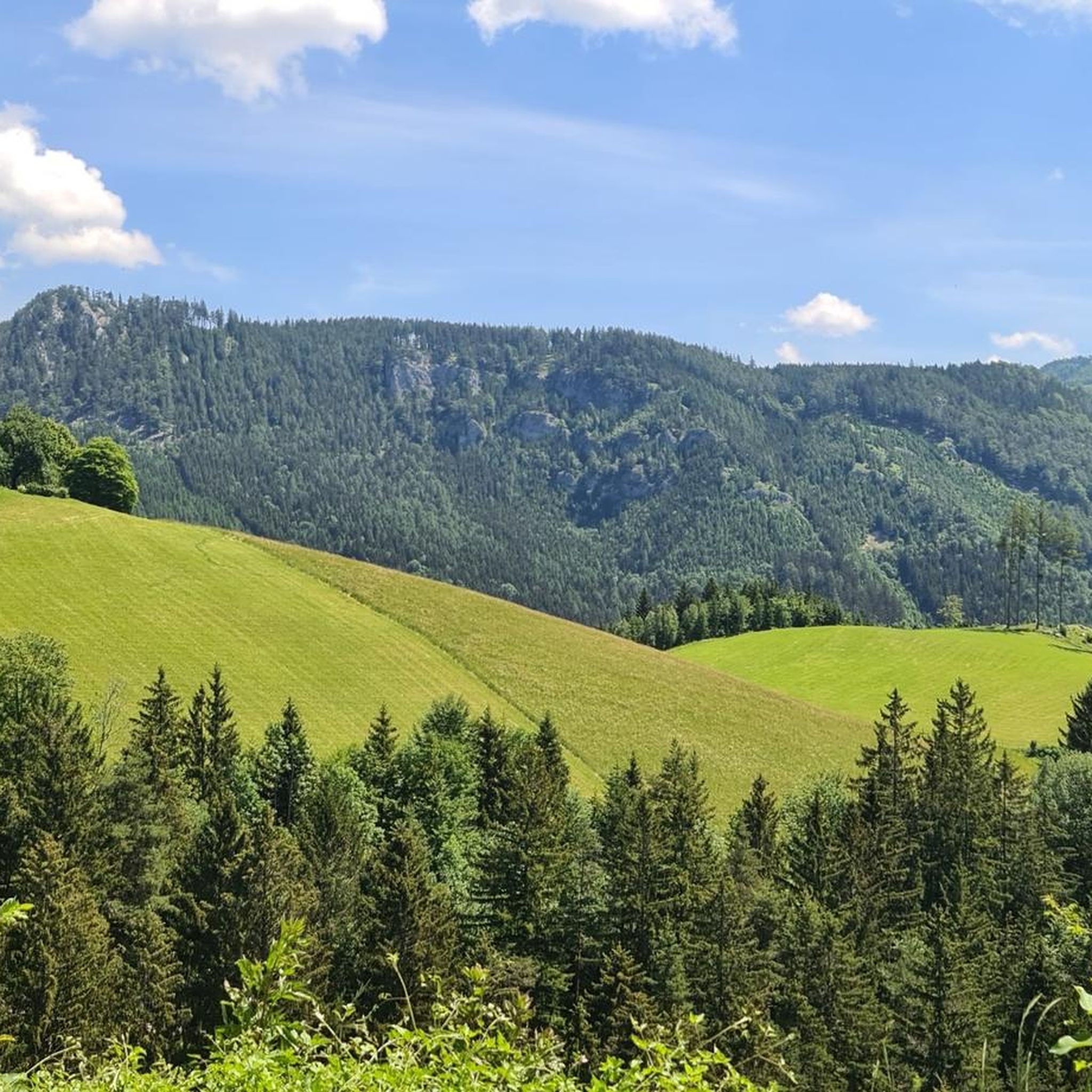
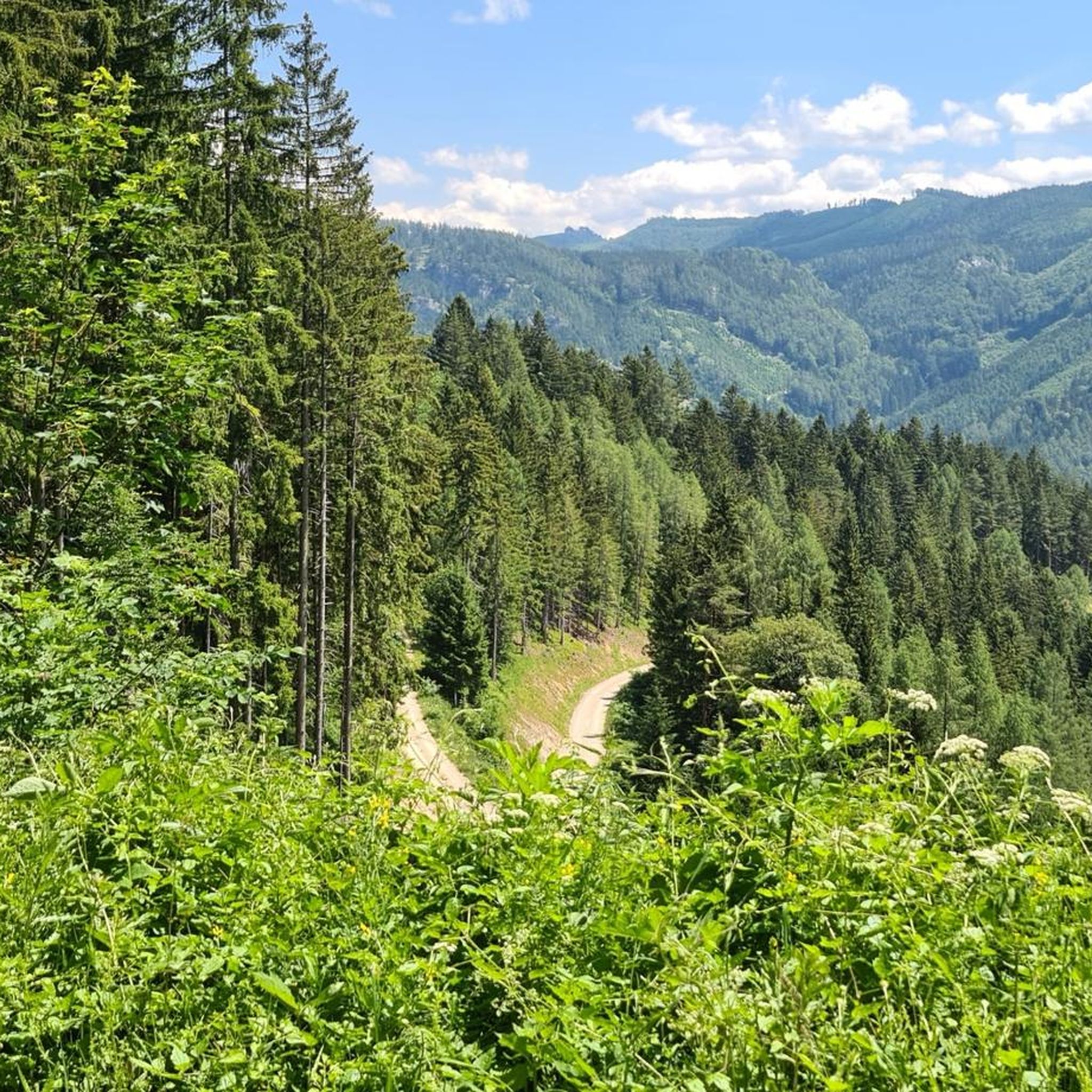
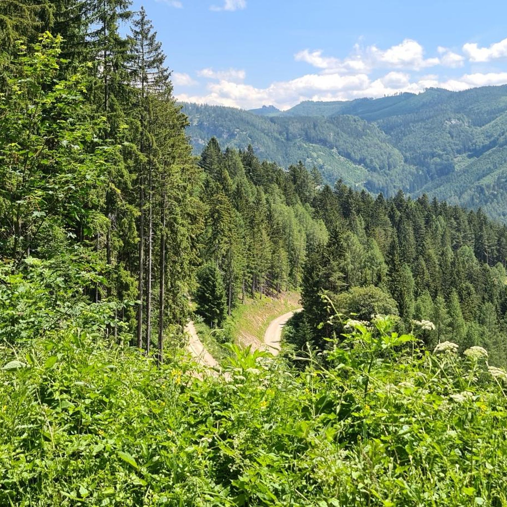
Hiking trails Schwarzenbach an der Pielach traverse a landscape characterized by forested hills, river valleys, and elevated viewpoints offering vistas of the Türnitzer Alps. The region features a network of paths that navigate through dense woodlands and open areas. Elevation changes are common, providing varied terrain for hikers.
Best hiking trails around Schwarzenbach an der Pielach
- The most popular hiking route is Hiking loop from Schwarzenbach an der Pielach, a 7.3 miles (11.7 km) trail that takes 4 hours 28 minutes to complete. This route features significant elevation gain through varied terrain.
- Another top favourite among local hikers is Geissenberg Alm – View of the Türnitzer Alps loop from Schwarzenbach an der Pielach, a moderate 8.8 miles (14.2 km) path. This trail offers panoramic views of the surrounding mountains and leads to the Geissenberg Alm.
- Local hikers also love the Shaded Forest Path – Wooden church loop from Schwarzenbach an der Pielach, a 5.1 miles (8.3 km) trail leading through shaded forest, often completed in about 2 hours 40 minutes.
- Hiking around Schwarzenbach an der Pielach is defined by forested hills, river valleys, and elevated viewpoints. The network offers options for different ability levels, from easy walks to more challenging ascents.
- The routes in Schwarzenbach an der Pielach are highly rated by the komoot community with an average score of 4.8 stars from nearly 900 reviews. More than 5000 hikers have used komoot to explore Schwarzenbach an der Pielach's varied terrain.
Last updated: October 8, 2026
4.7
(20)
102
hikers
12.2km
04:36
720m
720m
Moderate hike. Good fitness required. Mostly accessible paths. Sure-footedness required.
4.3
(3)
24
hikers
6.97km
02:03
200m
200m
Moderate hike. Good fitness required. Easily-accessible paths. Suitable for all skill levels.

4.6
(9)
18
hikers
Easy hike. Great for any fitness level. Easily-accessible paths. Suitable for all skill levels.
4.0
(4)
21
hikers
Hard hike. Good fitness required. Sure-footedness, sturdy shoes and alpine experience required.
5.0
(5)
17
hikers
2.17km
01:14
230m
230m
Moderate hike. Great for any fitness level. Mostly accessible paths. Sure-footedness required.
Get access to more routes and recommendations from other explorers.
Already have an account?
Our route recommendations are based on thousands of hikes, rides, and runs completed by other people on komoot.
Start today with a free account
Your next adventure awaits.
Popular around Schwarzenbach an der Pielach


Tips from the Community

Pleasant mountain pass road because it's not very busy 👍
0
0

The Eisenstein is a beautiful peak near Türnitz.
5
0

The Julius Seitner Hut is highly recommended! :)
1
0

The food is very good - definitely different to what you're used to in huts - vegetarians and vegans have a larger selection of dishes here 😋 as an Alpine Club member you get discounts on food and drink!
2
0

Gscheid pass Crossing from Traisental to Pielachtal (also vice versa, of course) The ascent begins from Türnitz, after a steep phase to the start (at the turnoff to the right in the direction of Schwarzenbach), there is a somewhat flatter recovery phase, after the hairpin bends it then continues steeply to the pass. Then a fantastic fast descent awaits you on the best, easily visible road to Schwarzenbach
0
0

Cabin is very nice inside and bigger than before
2
0

After a long general renovation, the hut has been open again since September 11th, 2022 and is highly recommended! 🏡
2
0

The keeper Elisabeth Klauser is looking forward to your coming. Opening times: Wednesday to Sunday from 10 a.m. to 7 p.m Phone: 0676/3189675 Source: Homepage of the municipality of Schwarzenbach-Pielach
0
0
Frequently Asked Questions
How many hiking trails are available in Schwarzenbach an der Pielach?
There are over 20 hiking trails around Schwarzenbach an der Pielach, offering a variety of options for different skill levels. This includes 6 easy routes, 13 moderate, and 5 difficult trails.
Are there easy or beginner-friendly hikes in Schwarzenbach an der Pielach?
Yes, Schwarzenbach an der Pielach offers several easy hikes suitable for beginners. One popular option is the View of the Mountains – Geissenberg Alm loop from Steinrotte, which is 5.4 km long and takes approximately 1 hour 52 minutes to complete.
What are the best circular routes in Schwarzenbach an der Pielach?
Many trails in the region are designed as loops. A highly-rated option is the Hiking loop from Schwarzenbach an der Pielach, covering 11.7 km with varied terrain. Another excellent choice is the Geissenberg Alm – View of the Türnitzer Alps loop from Schwarzenbach an der Pielach, offering panoramic views.
Are there any hikes that lead to viewpoints or mountain huts?
Absolutely. The region is known for its elevated viewpoints. The Geissenberg Alm – View of the Türnitzer Alps loop from Schwarzenbach an der Pielach specifically leads to the Geissenberg Alm, offering stunning vistas of the Türnitzer Alps. You can also find huts like the Türnitzer Hut and Grüntalkogel Hut in the wider area.
What can I see along the hiking trails in Schwarzenbach an der Pielach?
Hikers can explore forested hills, river valleys, and enjoy elevated viewpoints. Notable attractions nearby include the impressive Ötschergräben and Lassingfall, the tranquil Watermill on the Mühlbach, and various mountain huts.
Are there any hikes with waterfalls or gorges in the area?
Yes, the region boasts beautiful natural features. The Ötschergräben and Lassingfall is a prominent highlight, featuring a gorge and a waterfall. You can also find the Lassing case and Trefflingfall, offering picturesque waterfall experiences.
What do other hikers enjoy most about hiking in Schwarzenbach an der Pielach?
The area is highly rated by the komoot community, with an average score of 4.8 stars from nearly 900 reviews. Reviewers often praise the diverse terrain, the well-maintained paths through dense woodlands, and the rewarding panoramic views of the Türnitzer Alps.
Are there family-friendly hiking options in Schwarzenbach an der Pielach?
While specific 'family-friendly' routes aren't explicitly detailed, the 6 easy trails available are generally suitable for families. These routes typically have less elevation gain and shorter distances, making them more accessible for children.
What is the best time of year to go hiking in Schwarzenbach an der Pielach?
The best time for hiking in Schwarzenbach an der Pielach is typically from spring to autumn (May to October), when the weather is mild and the trails are clear. Summer offers lush greenery, while autumn provides vibrant foliage. Winter hiking is possible but may require appropriate gear for snow and ice.
Are there any shaded forest paths for hot days?
Yes, the region is characterized by forested hills, providing ample shade. The Shaded Forest Path – Wooden church loop from Schwarzenbach an der Pielach is an excellent choice for warmer days, leading through dense, cooling woodlands.
Are there places to eat or rest along the trails?
While not directly on every trail, the region has options for refreshments. The Ötscherhias Snack Station is a popular spot, and mountain huts like the Türnitzer Hut and Grüntalkogel Hut offer places to rest and often serve food.
Are dogs allowed on the hiking trails?
Generally, dogs are welcome on hiking trails in this region of Austria, provided they are kept on a leash, especially in nature protection areas or near grazing livestock. Always ensure to clean up after your dog. It's advisable to check specific trail regulations if you plan to visit a nature reserve.
Most popular routes around Schwarzenbach an der Pielach
Most popular attractions around Schwarzenbach an der Pielach

Get inspired with the komoot mobile app


Explore more
Browse the best Hikes in other regions.
