The best cycling routes around Àllai/Allai
4.3
(9)
45
riders
12
rides
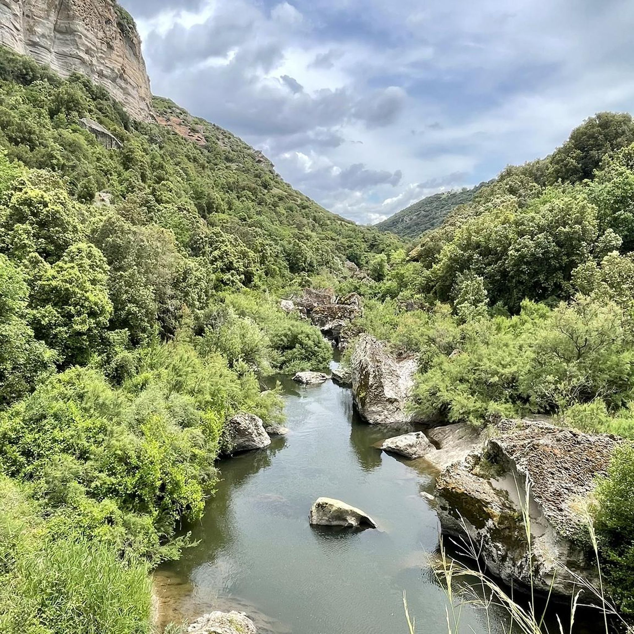
Touring cycling routes around Àllai/Allai are situated in the Massari river valley, surrounded by hills covered in Mediterranean vegetation. The landscape features gentle inclines and descents through areas rich in myrtle, arbutus, oak, and mastic trees. At the foot of Monte Grighine, the region offers potential for climbs with panoramic views over the *giare*, Montiferru, and Gennargentu. This area of central-western Sardinia provides diverse terrain for cycling, characterized by ancient rock formations and varied geological features.
Best touring cycling routes…
Last updated: June 24, 2026
4.5
(2)
12
riders
24.9km
01:39
360m
360m
Moderate bike ride. Good fitness required. Mostly paved surfaces. Suitable for all skill levels.
3.8
(4)
13
riders
14.8km
01:26
290m
290m
Moderate bike ride. Good fitness required. Mostly paved surfaces. Suitable for all skill levels.

Sign up for free
5.0
(2)
8
riders
58.5km
03:50
790m
790m
Hard bike ride. Very good fitness required. You may need to push your bike for some segments of this route.
4.0
(1)
8
riders
Hard bike ride. Very good fitness required. Mostly paved surfaces. Suitable for all skill levels.
4.0
(1)
6
riders
55.5km
03:50
1,000m
1,010m
Hard bike ride. Very good fitness required. Mostly paved surfaces. Suitable for all skill levels.
Get access to more routes and recommendations from other explorers.
Sign up for free
Already have an account?
Our route recommendations are based on thousands of hikes, rides, and runs completed by other people on komoot.
Start today with a free account
Your next adventure awaits.
Login or Signup
Popular around Àllai/Allai

Tips from the Community

Good asphalt, great views, challenging climb.
0
0

It's worth a visit, the architecture is interesting and the audio guide gives you detailed information about what you see. Entrance to the baths is included in the price (or vice versa). So if you see one you can also see the other as they are just a few minutes drive or probably 5-10 minutes walk away
1
0
The Tirso is the longest river in Sardinia. It rises as Riu de su Campo north of Bitti, in the province of Nuoro on the east side of the island, flows through the Lago Omodeo reservoir and flows into Oristano on the west side of the island. In the middle reaches it is spanned by the Ponte Ezzu, an old Roman bridge, near Illorai. It is 150 km long and is only navigable in the last few kilometers. The fertile plain north of Oristano through which it flows is called the Tirso plain.
1
0

Bridge over the Tirso River, blocked by the Eleonora D'Arborea Dam to form the artificial basin of Lake Omodeo.
1
0
Lake Omodeo is an artificial basin formed with the damming of the Tirso River in 1924 with the Santa Chiara Dam. Today replaced by the new Eleonora D'Arborea dam, the old barrier has been partially submerged.
1
0

The Aragonese House is a splendid example of stately architecture dating back to around the 16th-17th century. The house is divided into two parts and one of these houses a museum. Not far from here stands the church of San Pietro Apostolo.
1
0
Dam of the river Tirso which gives rise to the largest artificial basin in Sardinia, Lake Omodeo.
1
0

The pretty Casa Aragonese is a typical residence of the country gentry and was built in the 16th century from red trachyte stone. The windows and door frames built in the Spanish-Aragonese style, which also gave the house its name, are striking. Admission to Casa Aragonese is included in the Roman Baths ticket. Attention: closed on Mondays! Current information is available here: https://www.forumtraiani.it/casa-aragonese/
0
0
Frequently Asked Questions
How many touring cycling routes are available around Àllai/Allai?
There are 7 touring cycling routes available around Àllai/Allai. These routes offer a mix of moderate and difficult options, catering to various skill levels.
What kind of terrain can I expect on touring cycling routes near Àllai/Allai?
The terrain around Àllai/Allai is diverse, featuring gentle inclines and descents through the Massari river valley, surrounded by hills covered in Mediterranean vegetation like myrtle, arbutus, and oak. You can also find routes at the foot of Monte Grighine, offering potential for more challenging climbs and panoramic views. The region is characterized by ancient rock formations and varied geological features, providing interesting landscapes for cycling.
Are there historical landmarks or natural features to see along the cycling routes?
Yes, several routes pass by significant landmarks. For instance, the Aragonese House of Fordongianus – Fordongianus Roman Baths loop from Fordongianus takes you past historical sites like the Casa Aragonese and the Fordongianus Roman Baths. You can also find routes exploring areas around the Tirso River, such as the Tirso River and Stone Bridge in Fordongianus. The region itself is rich in ancient history, including prehistoric menhirs and the ancient Roman bridge, 'su ponti ecciu', over the Massari river.
What is the best time of year to go touring cycling in Àllai/Allai?
Sardinia, including the Àllai/Allai area, is often considered a cycling paradise due to its favorable weather conditions year-round. You can expect spring-like days even in colder months, making it suitable for touring cycling for much of the year.
Are there circular touring cycling routes available around Àllai/Allai?
Yes, there are several circular routes. Examples include The dams on the Tirso River and Lake Omodeo – ring tour from Fordongianus, the Aragonese House of Fordongianus – Fordongianus Roman Baths loop from Fordongianus, and the Santa Chiara Dam loop from Busache/Busachi. These loops allow you to start and end at the same point, offering convenient exploration.
What are the difficulty levels of touring cycling routes in Àllai/Allai?
The touring cycling routes in Àllai/Allai range from moderate to difficult. Out of the 7 available routes, 2 are classified as moderate, and 5 are considered difficult, offering options for cyclists looking for both scenic rides and more challenging climbs.
What do other cyclists say about the touring routes in Àllai/Allai?
The touring cycling routes in Àllai/Allai are highly rated by the komoot community, with an average score of 4.4 stars from over 5 reviews. More than 30 touring cyclists have used komoot to explore the varied terrain, often praising the scenic beauty and diverse landscapes.
Can I find routes that explore the Massari river valley?
Yes, the touring cycling routes around Àllai/Allai are primarily situated in the Massari river valley. You can expect rides with gentle inclines and descents through lush Mediterranean vegetation, offering a serene backdrop for your cycling adventure.
Are there any routes that offer panoramic views?
Yes, the region at the foot of Monte Grighine offers potential for climbs that reward cyclists with panoramic views over the *giare*, Montiferru, and Gennargentu regions. While specific routes are not detailed, the presence of such elevated terrain suggests opportunities for stunning vistas.
Are there any longer, more challenging touring cycling routes in the area?
For those seeking a longer and more challenging ride, the Busachi Bridge over the Tirso River – Santa Chiara Dam loop from Fordongianus is a difficult route covering approximately 56.3 kilometers (35 miles) with significant elevation changes, typically taking over 3 hours to complete.
Can I find routes that visit ancient Sardinian sites like menhirs?
Yes, the region has a rich ancient history. The Menhir of Biru e Concas loop from Samugheo is a difficult touring cycling route that takes you past the Menhir of Biru e Concas, offering a glimpse into the region's ancient past and prehistoric monuments.
Most popular routes around Àllai/Allai
Most popular attractions around Àllai/Allai

Get inspired with the komoot mobile app


Explore more
Browse the best Cycling routes in other regions.
