The best walks and hikes around Busache/Busachi
4.5
(17)
74
hikers
12
hikes
Hiking around Busache/Busachi, Sardinia, offers diverse landscapes characterized by slopes providing views of the Tirso valley and Montiferru hills. The region features routes along the Tirso River and near Lake Omodeo, with trails often passing through areas with pink trachyte stone formations. Many paths incorporate historical and archaeological sites, including Nuragic structures and ancient tombs.
Best hiking trails around Busache/Busachi
- The most popular hiking route is Casa Aragonese – Camper Area Near Roman Baths loop from Fordongianus, a 8.8…
Last updated: June 24, 2026
4.8
(4)
22
hikers
14.2km
04:02
320m
320m
Moderate hike. Good fitness required. Easily-accessible paths. Suitable for all skill levels.
4.0
(3)
8
hikers
6.35km
01:41
70m
70m
Easy hike. Great for any fitness level. Easily-accessible paths. Suitable for all skill levels.

Sign up for free
5.0
(2)
10
hikers
13.7km
03:54
300m
300m
Moderate hike. Good fitness required. Easily-accessible paths. Suitable for all skill levels.
4.0
(1)
3
hikers
9.37km
02:33
130m
130m
Moderate hike. Good fitness required. Easily-accessible paths. Suitable for all skill levels.
2
hikers
Moderate hike. Good fitness required. Easily-accessible paths. Suitable for all skill levels.
Get access to more routes and recommendations from other explorers.
Sign up for free
Already have an account?
Our route recommendations are based on thousands of hikes, rides, and runs completed by other people on komoot.
Start today with a free account
Your next adventure awaits.
Login or Signup

Tips from the Community

"Sa Crabarissa" (Campidanese woman in Sardinian costume with a handkerchief on her head) for the shape of the rock and the legend that belongs to it
0
0

Fully equipped space. Unfortunately not serviced in February..
1
0
Only a small part is visible because the remaining part was incorporated into the city.
2
0
It's worth a visit, the architecture is interesting and the audio guide gives you detailed information about what you see. Entrance to the baths is included in the price (or vice versa). So if you see one you can also see the other as they are just a few minutes drive or probably 5-10 minutes walk away
1
0
A beautiful church, a must if you are traveling through Fordongianus.
1
0
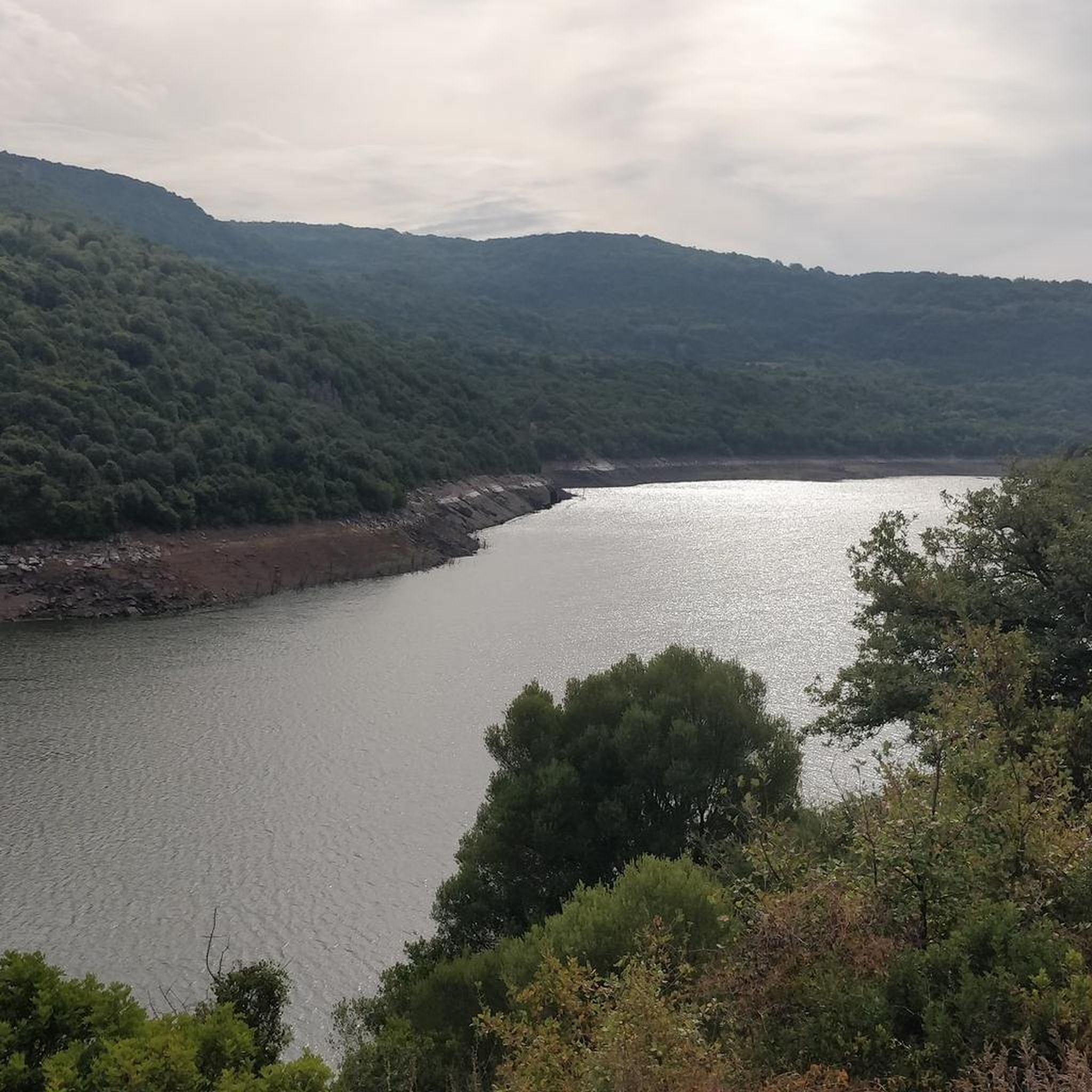
The Tirso is the longest river in Sardinia. It rises as Riu de su Campo north of Bitti, in the province of Nuoro on the east side of the island, flows through the Lago Omodeo reservoir and flows into Oristano on the west side of the island. In the middle reaches it is spanned by the Ponte Ezzu, an old Roman bridge, near Illorai. It is 150 km long and is only navigable in the last few kilometers. The fertile plain north of Oristano through which it flows is called the Tirso plain.
1
0

The pretty church was built from red trachyte. It is named after San Lussorio, a Roman soldier who was converted to Christianity. He suffered his martyrdom here during the persecution of Christians under Diocletian. In the 4th century, an underground tomb was built in his honor, which today forms the church's crypt. The Romanesque-style church was built in the 12th century by Vittorini monks who made it their mission to enhance the sites of martyrs. The church was actually closed, but after a call a nice lady came by and opened the small area for us.
0
0

There are a variety of unusual rock formations here, the most interesting being Sa Crabarissa
2
0
Frequently Asked Questions
How many hiking trails are available around Busache/Busachi?
There are 7 hiking trails available around Busache/Busachi. These routes offer a variety of experiences, from easy walks to more challenging moderate hikes.
What is the general difficulty level of hiking trails in Busache/Busachi?
The hiking trails in Busache/Busachi are predominantly moderate, with 5 routes falling into this category. There are also 2 easy routes available, making the area accessible for various fitness levels.
Are there easy hiking options suitable for beginners in Busache/Busachi?
Yes, there are 2 easy hiking routes in the Busache/Busachi area. One popular easy option is the Casa Aragonese – Roman Baths of Fordongianus loop from Fordongianus, which is 4.0 miles (6.4 km) long and offers a shorter exploration of the Fordongianus area.
What kind of landscapes can I expect to see while hiking in Busache/Busachi?
Hikers in Busache/Busachi can expect diverse landscapes, including expansive views of the Tirso valley and the Montiferru hills. Many routes follow the Tirso River and are near Lake Omodeo. You'll also encounter unique pink trachyte stone formations, which glow red in the sun, adding to the scenic beauty.
What historical or archaeological sites can I explore on hikes near Busache/Busachi?
The Busache/Busachi area is rich in historical sites. You can explore ancient Roman history at the Fordongianus Roman Baths, which still have naturally flowing warm waters. The region also features numerous Nuragic structures from the Bronze Age, such as Nuraghes Tadone, Pranu Nurache, and su Liggiu, often found alongside Giants' tombs. The Nuraghe Santa Cristina Archaeological Site in nearby Paulilatino is another significant historical stop.
Are there any circular hiking routes in Busache/Busachi?
Yes, many of the trails in Busache/Busachi are circular. For example, the Casa Aragonese – Camper Area Near Roman Baths loop from Fordongianus and the Sa Crabarissa Rock Formation loop from Valico S'Isteddu are popular circular options, allowing you to start and end at the same point.
Are the hiking trails in Busache/Busachi suitable for families with children?
Yes, the area offers trails suitable for families. The 2 easy routes, such as the Casa Aragonese – Roman Baths of Fordongianus loop from Fordongianus, are generally well-suited for families looking for a less strenuous walk. These trails often incorporate historical sites that can be engaging for children.
What do other hikers enjoy the most about hiking in Busache/Busachi?
The hiking experience in Busache/Busachi is highly rated by the komoot community, with an average score of 4.4 stars from over 10 reviews. Hikers often praise the blend of natural beauty, such as the views of the Tirso valley and Lake Omodeo, with the rich historical and archaeological sites found along the routes.
Are there any specific natural landmarks or unique geological features to look out for?
Beyond the scenic views of the Tirso valley and Lake Omodeo, a unique geological feature to observe is the prevalence of buildings and rock formations made from pink trachyte stone. This stone takes on a radiant red glow when illuminated by the sun, creating a distinctive visual experience along the trails.
What is the best time of year to go hiking in Busache/Busachi?
While specific recommendations depend on personal preference, the region's Mediterranean climate generally makes spring and autumn ideal for hiking, offering pleasant temperatures. Summers can be hot, so early morning or late afternoon hikes are advisable, and winters are typically mild.
Are there any trails that pass by water features like rivers or lakes?
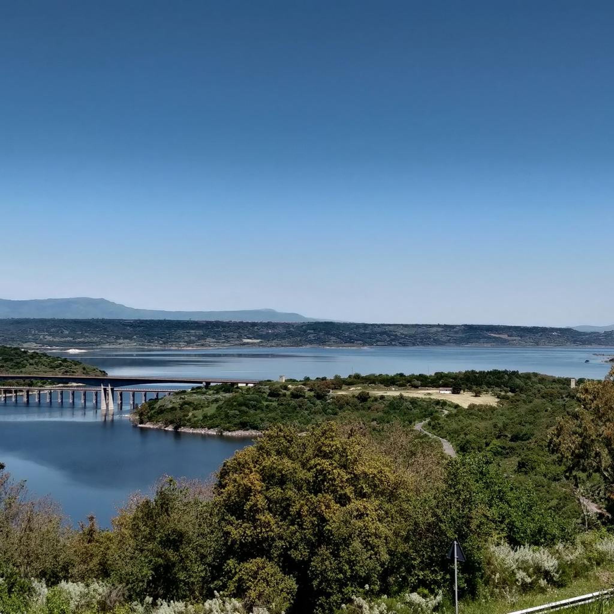
Yes, many routes in Busache/Busachi are situated along the Tirso River and near the artificial basin of Lake Omodeo. You can find trails that offer views of the river, the lake, and even the Busachi Bridge over the Tirso River, which is a noteworthy landmark.
Can I find any ancient burial sites or necropolises while hiking?
Yes, the area is home to several ancient burial sites. The Necropolis of Campu Maiore features 24 *domus de Janas* (prehistoric chamber tombs) carved into a rocky ridge, some still showing traces of red ochre. Additional *domus* can be found in areas like Maniere, Cronta, su Cantaru, and Grugos, offering extensive opportunities for archaeological exploration.
Most popular attractions around Busache/Busachi

Get inspired with the komoot mobile app


Explore more
Browse the best Hikes in other regions.
