The best walks and hikes around Arriora/Riola Sardo
4.3
(827)
4,218
hikers
135
hikes
Hiking around Arriora/Riola Sardo provides access to coastal paths and Mediterranean landscapes on Sardinia's western shore. The region features low-lying hills and stretches of coastline, characterized by scrubland and occasional rock formations. Trails often offer views of the sea and lead through areas with typical Sardinian vegetation. The terrain is generally accessible, with varied options for different hiking preferences.
Best hiking trails around Arriora/Riola Sardo
- The most popular hiking route is Path of Santu Jacu: Sinis - Stage 46, a 1.0 mile (1.6 km) trail that takes 24 minutes to complete. This easy path is part of a longer historical route, offering a brief coastal experience.
- Another top favourite among local hikers is Capo Mannu Tower – Capo Mannu Tower loop from Mandriola, a difficult 4.9 miles (8.0 km) path. This route provides coastal views and passes by the historic Capo Mannu Tower.
- Local hikers also love the Capo Mannu Tower – Capo Mannu Tower loop from Putzu Idu, a 7.9 miles (12.7 km) trail leading through coastal landscapes, often completed in about 3 hours 18 minutes.
- Hiking around Arriora/Riola Sardo is defined by coastal paths, Mediterranean scrub, and low hills. The network offers options for different ability levels, from easy strolls to more challenging coastal loops.
- The routes in Arriora/Riola Sardo are highly rated by the komoot community with an average score of 4.4 stars from over 600 reviews. More than 3500 hikers have used komoot to explore Arriora/Riola Sardo's varied terrain.
Last updated: July 8, 2026
1.59km
00:24
0m
0m
Easy hike. Great for any fitness level. Easily-accessible paths. Suitable for all skill levels.
4.6
(79)
323
hikers
7.73km
02:06
90m
90m
Hard hike. Good fitness required. Sure-footedness, sturdy shoes and alpine experience required.

Sign up for free
4.6
(33)
132
hikers
12.1km
03:11
70m
70m
Moderate hike. Good fitness required. Mostly accessible paths. Sure-footedness required.
5.0
(3)
40
hikers
7.55km
01:58
30m
30m
Moderate hike. Great for any fitness level. Mostly accessible paths. Sure-footedness required.
5.0
(1)
30
hikers
8.13km
02:03
10m
10m
Moderate hike. Good fitness required. Easily-accessible paths. Suitable for all skill levels.
Get access to more routes and recommendations from other explorers.
Sign up for free
Already have an account?
Our route recommendations are based on thousands of hikes, rides, and runs completed by other people on komoot.
Start today with a free account
Your next adventure awaits.
Login or Signup
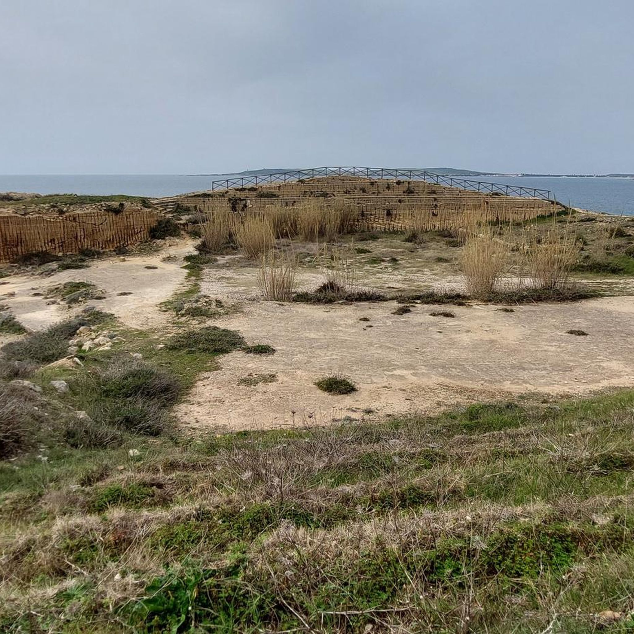
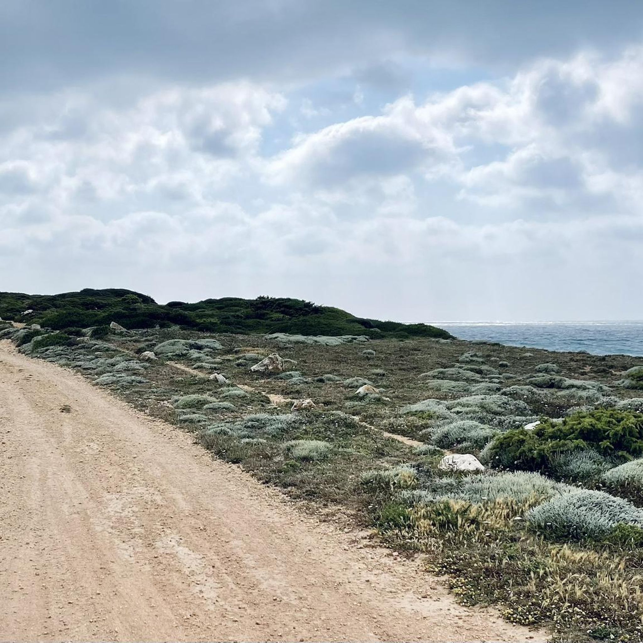
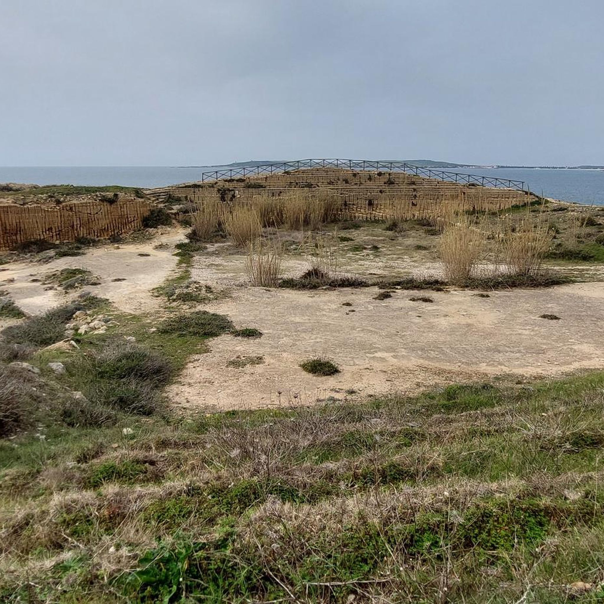
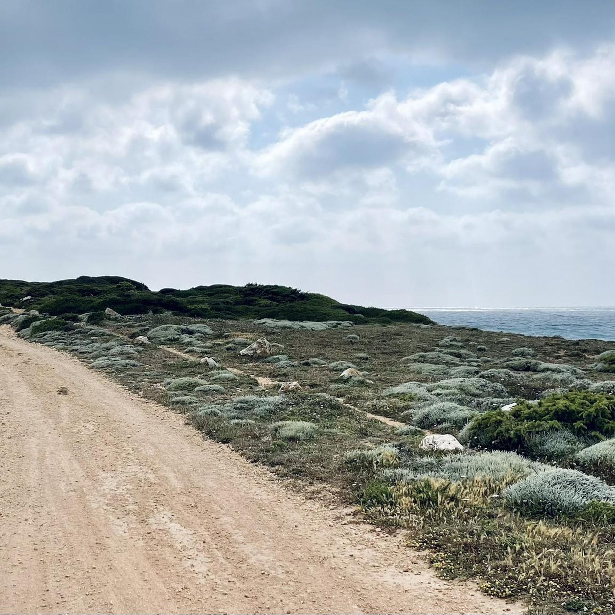
Tips from the Community

We were here at the end of September/beginning of October 2025. It was absolutely beautiful. Not much going on, and the seaweed was manageable in the morning and afternoon. Thanks to the wind, there were lots of water sports enthusiasts in the evening.
0
0


A thin, curved strip of very fine quartz grains, almost two kilometres long, separates the turquoise sea from the Sa Salina Manna pond. It is the splendid beach of Putzu Idu, called ‘cala Saline’ and sheltered from the mistral, which extends north of the magnificent s’Arena Scoada and reaches the beach of Mandriola. The quartz sand is white and soft. The waters offer, with the changing light, suggestive shades from green to blue. The sandy seabed is shallow for dozens of metres.
1
0

The Torre di Capo Mannu stands on a rocky promontory, offering a spectacular view of the sea and the surrounding coast. Built in the 16th century as part of the defense system against pirate raids, it is surrounded by a landscape characterized by cliffs, crystal clear waters and typical Mediterranean vegetation.
0
0

Beach showers turned off in February
0
1
fine white Caribbean sand... lots of seaweed in some places
0
0

The Sa Mora tower was built on the place known in 1578 as "Monte delle Saline di Oristano" or also with the name "Capitis Magni seu Salinarum", today called "Matta 'e sa figu" (fig tree). The current name "Sa Mora" appeared in 1639 together with the similar "Puerto de la Mora", the ancient name of Cala Saline or Porto Mandriola. As with many of Sardinia's coastal towers, the view is astonishing.
3
0
Frequently Asked Questions
How many hiking trails are available around Arriora/Riola Sardo?
There are over 100 hiking trails in the Arriora/Riola Sardo region, offering a wide variety of options for different skill levels and preferences. The komoot community has explored more than 118 routes in the area.
Are there any easy hiking trails suitable for beginners or families?
Yes, the region offers many easy trails. For instance, the Path of Santu Jacu: Sinis - Stage 46 is an easy 1.0-mile (1.6 km) coastal path, perfect for a short, accessible walk. In total, there are 73 easy routes to choose from.
What are some challenging hikes in the Arriora/Riola Sardo area?
For those seeking a challenge, the Capo Mannu Tower – Capo Mannu Tower loop from Mandriola is a difficult 4.9-mile (8.0 km) route offering coastal views. There are 9 difficult routes available in the region for experienced hikers.
Are there any circular hiking routes in Arriora/Riola Sardo?
Yes, many trails in the region are circular. An example is the Capo Mannu Tower – Capo Mannu Tower loop from Putzu Idu, a moderate 7.9-mile (12.7 km) trail that takes about 3 hours 18 minutes to complete, offering stunning coastal landscapes.
What kind of natural landscapes can I expect to see on the trails?
Hiking around Arriora/Riola Sardo is characterized by coastal paths, Mediterranean scrubland, and low hills. You'll often find trails offering views of the sea, typical Sardinian vegetation, and occasional rock formations.
Are there any interesting landmarks or attractions near the hiking trails?
Absolutely! The region is rich in attractions. You can explore the Church of St. John of Sinis, visit the beautiful Is Arutas beach, or see the historic Seu Tower. The picturesque village of San Salvatore di Sinis is also nearby.
Can I find any lakes or lagoons to visit while hiking?
Yes, the area features several significant lagoons. You can visit the Cabras Lagoon, enjoy views of Stagno di Cabras, or observe flamingos at Laguna di Mistras. The Stagno di Sale 'e Porcus Nature Reserve is another notable natural highlight.
What is the best time of year to go hiking in Arriora/Riola Sardo?
The Mediterranean climate makes spring and autumn ideal for hiking, with pleasant temperatures and blooming flora. Summer can be hot, but coastal trails often offer refreshing sea breezes. Winter is generally mild, allowing for year-round hiking, though some services might be reduced.
Are the hiking trails in Arriora/Riola Sardo dog-friendly?
Many trails in the Arriora/Riola Sardo region are suitable for dogs, especially those through natural landscapes and coastal areas. However, it's always advisable to keep dogs on a leash, especially near wildlife or agricultural areas, and to check specific trail regulations if available.
What do other hikers enjoy most about the trails in Arriora/Riola Sardo?
The area is highly rated by the komoot community, with an average score of 4.4 stars from over 600 reviews. Hikers often praise the diverse coastal views, the accessibility of the terrain, and the variety of routes suitable for different ability levels.
Are there any moderate difficulty hikes available?
Yes, there are 36 moderate routes in the region. For example, the Su Tingiosu Cliffs – Mari Ermi Beach loop from Mari Ermi is a moderate 8.1-mile (13.1 km) trail, and the Capo Mannu Tower – Torre Sa Mora loop from Sant'Anna is another excellent moderate option.
Is parking readily available near the trailheads?
Parking availability varies by trailhead. In popular coastal areas and near villages like Putzu Idu or Mandriola, you can generally find designated parking spots. For more remote trails, roadside parking might be an option, but it's always good to plan ahead and check maps for specific parking information.
Most popular routes around Arriora/Riola Sardo
Most popular attractions around Arriora/Riola Sardo

Get inspired with the komoot mobile app


Explore more
Browse the best Hikes in other regions.
