The best road cycling routes around Lamporecchio
4.5
(318)
8,160
riders
24
rides
Road cycling routes around Lamporecchio traverse a diverse landscape characterized by the Montalbano hills, ancient olive groves, and woods. The region offers varied terrain, from the gentle slopes near the Fucecchio Marsh to more challenging ascents within the Montalbano ridge. Cyclists can experience routes with significant elevation changes and panoramic views across the Tuscan countryside.
Best road cycling routes around Lamporecchio
- The most popular road cycling route is Lamporecchio – Bridge on a canal loop from Lamporecchio, a 27.9 miles (44.8 km) trail that takes 1 hour 50 minutes to complete. This easy route offers a gentle ride through the local landscape.
- Another top favourite among local road cyclists is Pinone Pass – Ristorante Pizzeria L'Erre loop from Lamporecchio, a moderate 31.7 miles (51.0 km) path. This route includes climbs through the Montalbano hills, providing scenic views and a good workout.
- Local road cyclists also love the Massarella – San Baronto Cyclists' Monument loop from La Stella, a 53.3 miles (85.9 km) trail leading through the Montalbano hills and towards the cycling hub of San Baronto, often completed in about 3 hours 47 minutes.
- Road cycling around Lamporecchio is defined by rolling Montalbano hills, ancient olive groves, and varied terrain, with options ranging from easy rides to challenging routes with significant elevation gain. The network offers options for different ability levels.
- The routes in Lamporecchio are highly rated by the komoot community with an average score of 4.5 stars from over 20 reviews. More than 830 road cyclists have used komoot to explore Lamporecchio's varied terrain.
Last updated: August 19, 2026
5.0
(2)
89
riders
43.9km
02:00
390m
390m
Moderate road ride. Good fitness required. Mostly well-paved surfaces and easy to ride.
4.5
(2)
168
riders
101km
05:09
1,560m
1,560m
Hard road ride. Very good fitness required. Mostly well-paved surfaces and easy to ride.

Sign up for free
4.5
(2)
132
riders
55.4km
02:20
360m
360m
Moderate road ride. Good fitness required. Mostly well-paved surfaces and easy to ride.
5.0
(1)
92
riders
43.2km
01:47
170m
170m
Moderate road ride. Great for any fitness level. Some segments of this route may be unpaved and difficult to ride.
5.0
(1)
69
riders
59.8km
02:49
690m
690m
Moderate road ride. Good fitness required. Mostly well-paved surfaces and easy to ride.
Get access to more routes and recommendations from other explorers.
Sign up for free
Already have an account?
Our route recommendations are based on thousands of hikes, rides, and runs completed by other people on komoot.
Start today with a free account
Your next adventure awaits.
Login or Signup

Tips from the Community

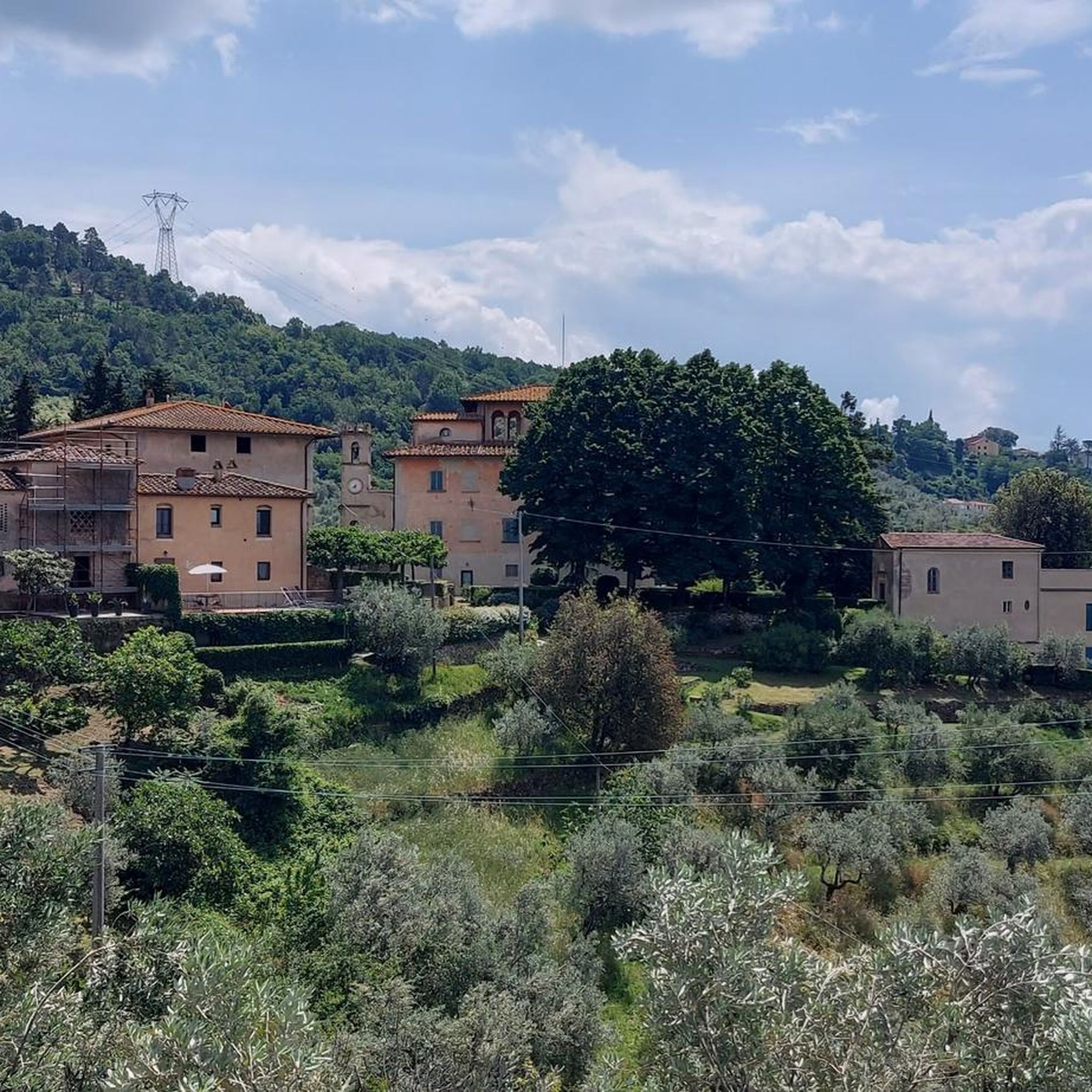
The Towers of Serravalle Pistoiese are the most evident medieval symbols of the fortified village of Serravalle Pistoiese, located in a strategic position that historically controlled the passage between the Pistoia plain and the Valdinievole. The village is famous for its fortifications which include two main nuclei placed at the two ends of the town.
0
0

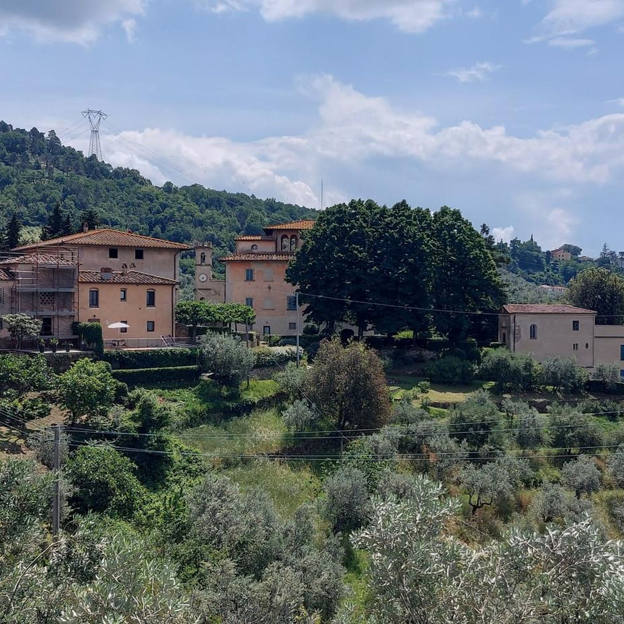
From the summit of San Baronto (about 350 m above sea level in the Montalbano hills), the panorama opens onto the surrounding valley, offering a splendid view of the typical Tuscan landscape. The view stretches over hills rich in olive trees and woods, reaching out to clearly discern the profiles of the nearby city of Pistoia, the plain towards Florence, and the gentle slopes descending towards Vinci.
0
0
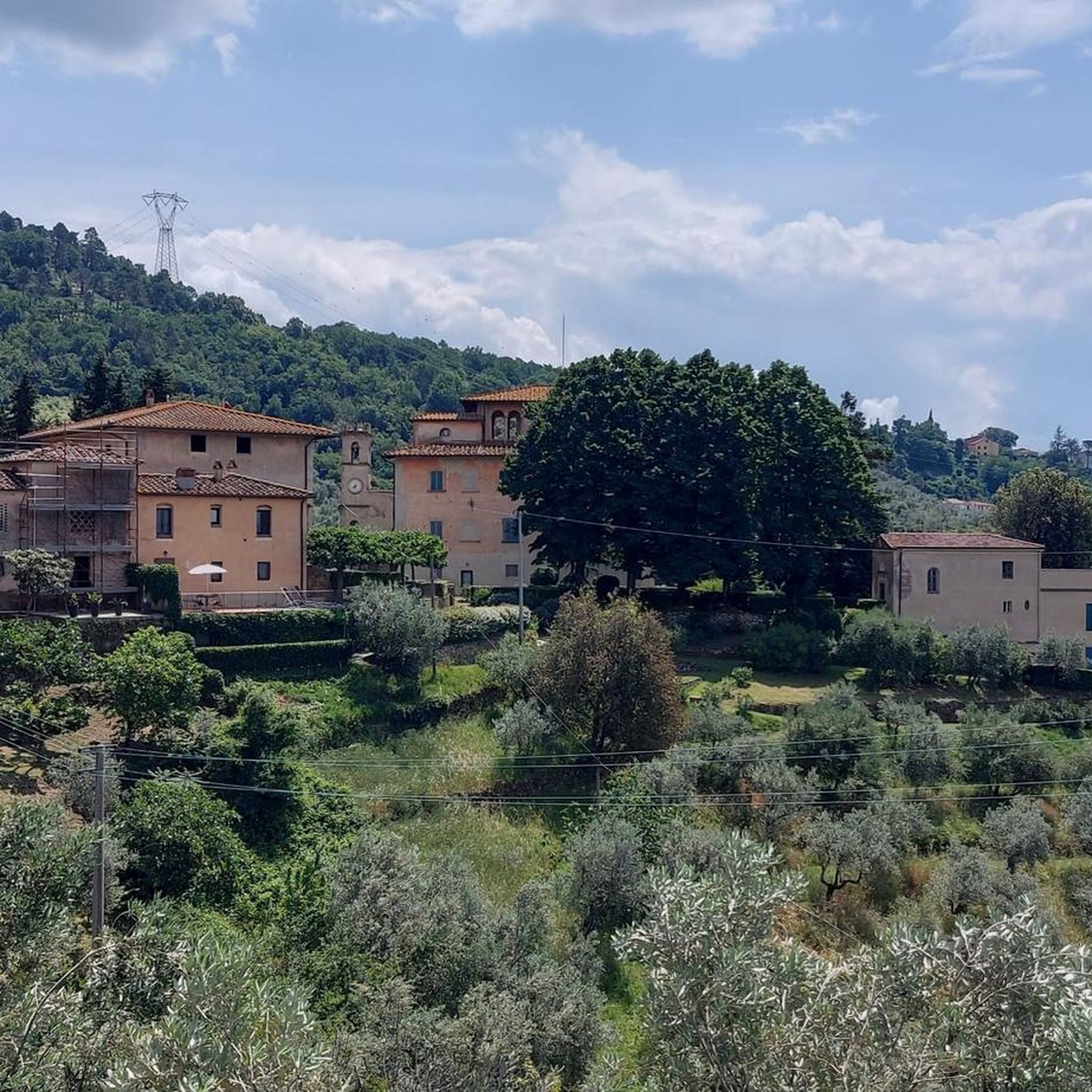
The Municipality of Vinci It is a medieval village of about 14,000 inhabitants located in the Metropolitan City of Florence, on the slopes of Montalbano. The entire history and tourism of the town revolve around the figure of the Renaissance genius
0
0
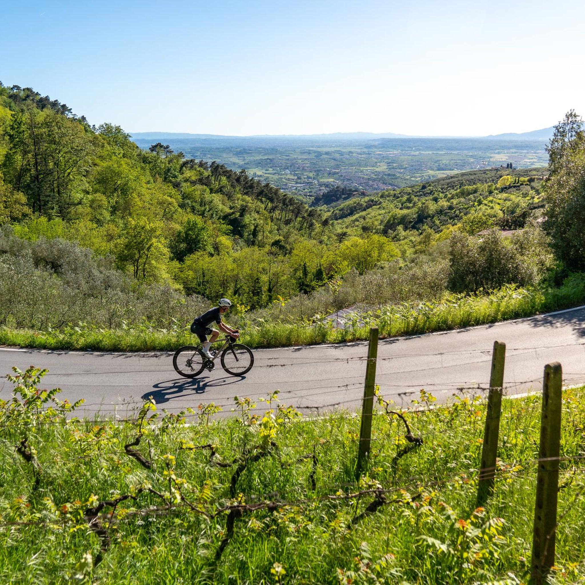
Prunetta is a characteristic mountain hamlet located at almost 1,000 meters above sea level in the municipality of San Marcello Piteglio, within the picturesque Montagna Pistoiese in Tuscany. The village has about 300 inhabitants and is a well-known destination for summer tourism, trekking, and its particular geographical location.
0
0
Prunetta is a characteristic mountain hamlet located at almost 1,000 meters above sea level in the municipality of San Marcello Piteglio, within the evocative Montagna Pistoiese in Tuscany. The village has about 300 inhabitants and is a place known for summer tourism, trekking, and its particular geographical position.
0
0


Quiet and smooth road, nice area and good passage point with not too much difference in altitude
1
0

Varied climb with great views on a good road.
1
0
Frequently Asked Questions
How many road cycling routes are available in Lamporecchio?
There are over 20 road cycling routes around Lamporecchio, offering a diverse range of experiences. These include easy, moderate, and challenging options to suit various fitness levels.
What kind of terrain defines road cycling in Lamporecchio?
Road cycling in Lamporecchio is characterized by the rolling Montalbano hills, ancient olive groves, and wooded areas. You'll find varied terrain, from gentle slopes near the Fucecchio Marsh to more demanding ascents within the Montalbano ridge, providing routes with significant elevation changes and panoramic views.
What is the best time of year for road cycling in Lamporecchio?
The Tuscan climate generally makes spring and autumn ideal for road cycling in Lamporecchio, offering pleasant temperatures and beautiful scenery. Summer can be warm, especially in the midday sun, while winter might bring cooler temperatures and occasional rain, though many routes remain accessible.
What are the different difficulty levels for road cycling routes in Lamporecchio?
Lamporecchio offers a wide array of routes catering to different abilities. You can find easy rides, such as the Lamporecchio – Bridge on a canal loop, moderate challenges like the Pinone Pass – Ristorante Pizzeria L'Erre loop, and more demanding routes with substantial elevation gains through the Montalbano hills.
Are there any circular road cycling routes in Lamporecchio?
Yes, many road cycling routes in Lamporecchio are designed as loops, allowing you to start and finish in the same location. Examples include the Lamporecchio – Bridge on a canal loop and the Lamporecchio – Vico loop, providing convenient options for exploring the region.
What scenic views can I expect on road cycling routes around Lamporecchio?
From higher elevations, particularly around the Montalbano ridge, cyclists can enjoy expansive panoramic views that stretch across the landscape. You might catch glimpses of distant sights like San Gimignano, Volterra, the Apuan Alps, San Miniato, Pisa mountains, and the Fucecchio marshes leading to the Arno river.
Are there any interesting landmarks or attractions to see along the road cycling routes?
Yes, the region is rich in historical and natural landmarks. You can find highlights such as the Larciano Castle Tower or the Vinacciano Historic Village. The Montalbano area also features the fascinating natural monument, the Devil's Rock (Pietramarina).
Is there parking available for cyclists in Lamporecchio?
While specific designated cyclist parking areas are not detailed, Lamporecchio is a cycling-friendly town. You can typically find public parking in and around the town center, which serves as a convenient starting point for many routes. It's advisable to check local signage for any restrictions.
Can I use public transport with my bike in Lamporecchio?
Public transport options in rural Tuscany, including around Lamporecchio, may have limitations regarding carrying bicycles, especially during peak hours or on smaller buses. It's recommended to check with local bus operators or train services (if applicable) directly for their specific policies on bike transport before planning your journey.
Are there family-friendly road cycling options in Lamporecchio?
Yes, Lamporecchio offers easier routes suitable for families or those looking for a more relaxed ride. The Lamporecchio – Bridge on a canal loop is an easy trail that provides a gentle introduction to the local landscape, ideal for a family outing.
Are there places to stop for refreshments along the routes?
Lamporecchio and the surrounding villages, particularly San Baronto, offer various cafes, restaurants, and pizzerias where cyclists can stop for refreshments. Many routes pass through or near these towns, providing opportunities to refuel and enjoy local Tuscan cuisine.
What makes San Baronto a significant spot for cyclists in the region?
San Baronto is often referred to as the 'patron saint of Tuscan cyclists' due to its deep connection with the sport. It serves as a popular destination and starting point for many trails and races, known for its challenging slopes and hairpin turns. The area has been a training ground for famous athletes and hosted major cycling events.
What do other road cyclists say about the routes in Lamporecchio?
The road cycling routes in Lamporecchio are highly rated by the komoot community, with an average score of 4.5 stars from over 20 reviews. Cyclists often praise the diverse terrain, the stunning panoramic views, and the region's rich cycling heritage.
Most popular routes around Lamporecchio
Most popular attractions around Lamporecchio

Get inspired with the komoot mobile app


Explore more
Browse the best Road cycling routes in other regions.
