The best mountain hikes around Abetone Cutigliano
4.5
(11)
52
hikers
11
hikes
Mountaineering around Abetone Cutigliano offers diverse landscapes within the Tuscan-Emilian Apennines. The region features imposing mountains like Monte Cimone and Libro Aperto, alongside dense coniferous and beech forests. High mountain lakes, such as Lake Scaffaiolo and Lake of the Nymph, are prominent natural features. This terrain provides a mix of challenging ascents and scenic routes for various skill levels.
Best mountaineering routes around Abetone Cutigliano
- The most popular mountaineering route is Altaretto – Monte Giovo loop from Lago Santo modenese…
Last updated: July 5, 2026
4.3
(3)
15
hikers
Hard mountaineering route. Good fitness required. Sure-footedness, sturdy shoes and alpine experience required.
4.7
(3)
9
hikers
10.6km
04:13
530m
530m
Moderate mountaineering route. Good fitness required. Mostly accessible paths. Sure-footedness required.

Sign up for free
4.0
(1)
9
hikers
4.78km
02:43
470m
470m
Hard mountaineering route. Good fitness required. Sure-footedness, sturdy shoes and alpine experience required.
5.0
(2)
5
hikers
13.3km
05:33
740m
740m
Hard mountaineering route. Very good fitness required. Sure-footedness, sturdy shoes and alpine experience required.
5.0
(1)
3
hikers
11.7km
04:39
760m
760m
Moderate mountaineering route. Good fitness required. Mostly accessible paths. Sure-footedness required.
Get access to more routes and recommendations from other explorers.
Sign up for free
Already have an account?
Our route recommendations are based on thousands of hikes, rides, and runs completed by other people on komoot.
Start today with a free account
Your next adventure awaits.
Login or Signup
Popular around Abetone Cutigliano
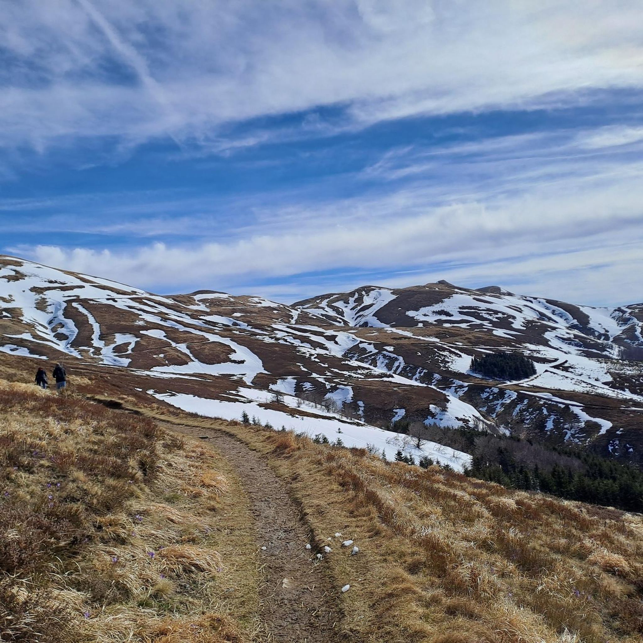
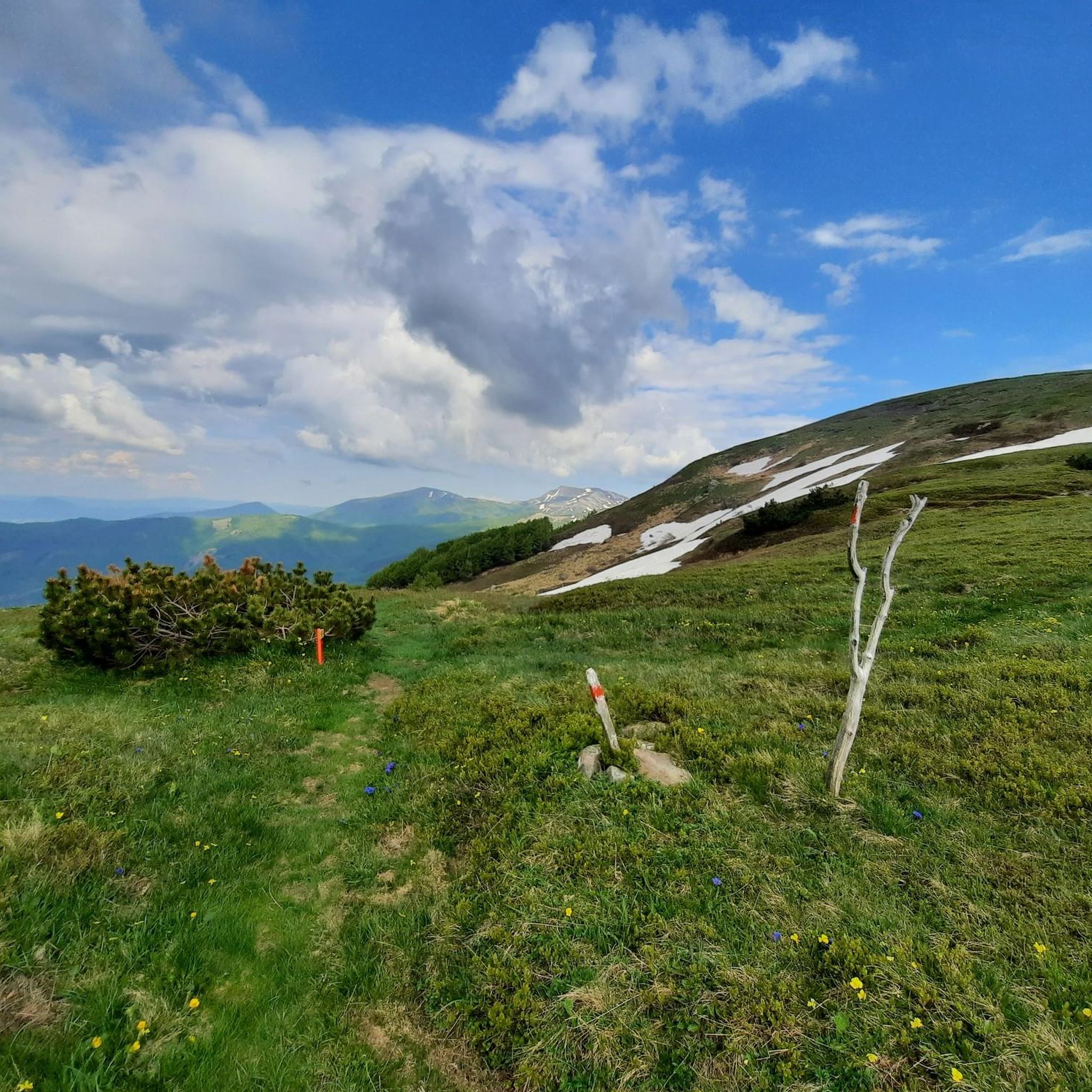

Other adventures around Abetone Cutigliano

Tips from the Community

Make sure there is no strong wind
0
0

In summer, Balzi dell'Ora is a challenging CAI trail due to its exposure and some technical sections. In winter, with snow and ice, it's a winter mountaineering route that, depending on snow conditions, could be quite respectable. I climbed it alone with two ice axes and crampons. If you're climbing as a team in the conditions I encountered, I think sure-footedness and experience are essential, as there are many traverses and ridge sections with sparse protection, and you'll obviously need adequate winter mountaineering gear. In any case, it's a beautiful climb with magnificent views and a very rewarding experience.
0
0
In winter, with the right snow conditions, the Punta Sofia cross is a popular destination, ascending from the Balzi dell'Ora or the north gullies, or from the east face (a more complicated option). In other seasons, it's a beautiful hike along the various CAI trails. On clear days, you can admire a breathtaking view.
0
0
In winter, the second gully (starting from the left) has the steepest exit, 60/70 degrees, depending on the snow. I recommend tackling it with two ice axes. If you're climbing in a roped-up rock, about 60 meters from the gully exit, there's a bolt on the right that's useful for a belay. Another bolt is located at the gully exit, but it's often covered by the ship. It's obviously a good idea to check the snow conditions and equip yourself with the appropriate winter mountaineering gear.
0
0

A refuge with renovated private rooms and excellent cuisine. It's an excellent starting point for various hikes in the area, and the management is very friendly. From the (paid) parking lot, it's about a 10-minute walk uphill to the refuge. The manager, Massimo, is a wonderful person; it's always a pleasure to return!
1
0

The summit of Mount Cupolino behind Lake Scaffaiolo
0
0

Monte Giovo, 1991 metres, is the highest peak in this part of the Apennines.
0
0
Mount Cimone! the panettone! with its 2165 meters it is the highest peak of the northern Apennines. Iconic point of arrival and special panoramic point as it is unique in Italy for this characteristic (from its summit it is possible to observe, on the clearest days, the largest land surface of the Italian territory, from the Gran Sasso Apennines to the Alpine mountain range)
0
0
Frequently Asked Questions
How many mountaineering routes are available in Abetone Cutigliano?
There are over 14 mountaineering routes around Abetone Cutigliano, offering a diverse range of experiences for outdoor enthusiasts. These routes are highly rated by the komoot community, with an average score of 4.7 stars.
What are the typical difficulty levels for mountaineering routes in Abetone Cutigliano?
The mountaineering routes in Abetone Cutigliano offer a mix of challenges. You'll find both moderate and difficult routes, with 7 routes classified as moderate and 7 as difficult. This ensures options for various skill levels, from those seeking a good workout to experienced mountaineers looking for significant ascents.
What kind of terrain can I expect on mountaineering routes in Abetone Cutigliano?
The terrain in Abetone Cutigliano is characterized by diverse landscapes within the Tuscan-Emilian Apennines. Expect to traverse imposing mountains like Monte Cimone and Libro Aperto, dense coniferous and beech forests, and picturesque high mountain lakes such as Lake Scaffaiolo and Lake of the Nymph. The routes often involve significant elevation gain and can be quite rugged.
Are there any circular mountaineering routes in Abetone Cutigliano?
Yes, several routes in the region are circular, allowing you to start and end at the same point. For example, the challenging Altaretto – Monte Giovo loop from Lago Santo modenese is a popular option. Another great choice is the moderate Lago della Risaia – Monte Rotondo loop from Abetone, which winds through forests and offers views of high mountain lakes.
What natural features or landmarks can I see along mountaineering routes in Abetone Cutigliano?
Mountaineering routes in Abetone Cutigliano are rich with natural beauty. You can encounter majestic peaks like Sofia Peak and Monte Cimone Summit, as well as stunning high mountain lakes such as Lake of the Nymph and Laghetto del Cavone. Many trails also pass through dense forests, offering serene natural environments.
Are there any historical or cultural points of interest near the mountaineering trails?
Yes, the region offers historical and cultural elements. You might come across sites like the World War II Memorial at Croce Arcana or the Pyramids of Passo dell'Abetone. The historic Ximeniana road also offers paths that can be explored, and the charming medieval village of Cutigliano itself, with its historic buildings, adds a cultural dimension.
What do other mountaineers enjoy most about the routes in Abetone Cutigliano?
The routes in Abetone Cutigliano are highly rated by the komoot community, with an average score of 4.7 stars from over 10 reviews. Mountaineers often praise the diverse landscapes, the challenging ascents, and the stunning panoramic views from peaks like Punta Sofia. The presence of picturesque high mountain lakes and dense forests also contributes to a wild and evocative experience.
What is the best time to visit Abetone Cutigliano for mountaineering?
Abetone Cutigliano offers mountaineering opportunities throughout the year. During warmer months, you can enjoy trekking and hiking through forests and to peaks. In winter, the majestic peaks provide a unique experience for ski mountaineering enthusiasts. Always check local weather conditions and trail status before heading out, especially during seasonal transitions.
Are there family-friendly mountaineering options in Abetone Cutigliano?
While many routes are moderate to difficult, some sections or shorter loops might be suitable for families with older children who are accustomed to hiking. For example, the Il Passetto loop from Lago Santo modenese is a moderate route that could be considered, depending on the family's experience. Always assess the specific route's distance, elevation gain, and terrain to ensure it's appropriate for your family's skill level.
Can I bring my dog on the mountaineering trails in Abetone Cutigliano?
Many trails in the Tuscan-Emilian Apennines are generally dog-friendly, but it's always best to check specific regulations for each route or protected area. Ensure your dog is well-behaved, kept on a leash, and that you carry out all waste. Be mindful of wildlife and other hikers, and bring enough water for both yourself and your pet.
Where can I find parking for mountaineering trailheads in Abetone Cutigliano?
Parking is generally available near popular trailheads and starting points for routes. For tours starting from Lago Santo modenese, you'll typically find designated parking areas. Similarly, routes originating from Abetone or Corno alle Scale usually have parking facilities nearby. It's advisable to check specific route descriptions or local information for detailed parking instructions before your trip.
Is public transport available to reach mountaineering routes in Abetone Cutigliano?
Public transport options to reach specific trailheads can be limited in mountainous regions. While Abetone Cutigliano is accessible by bus from larger towns, direct connections to remote starting points for mountaineering routes might require additional planning or a short taxi ride. It's recommended to research local bus schedules and connections to your chosen trailhead in advance.
Are permits required for mountaineering in Abetone Cutigliano?
Generally, permits are not required for day hikes and mountaineering on established trails in the Abetone Cutigliano region. However, if you plan to enter specific protected areas, nature reserves, or engage in activities like ski mountaineering in certain zones, it's always wise to check with local park authorities or tourist information centers for any specific regulations or permit requirements that might apply.
Most popular routes around Abetone Cutigliano
Most popular attractions around Abetone Cutigliano

Get inspired with the komoot mobile app


Explore more
Browse the best Mountain Hikes & Routes in other regions.
