The best walks and hikes around Monterenzio
4.4
(434)
1,355
hikers
41
hikes
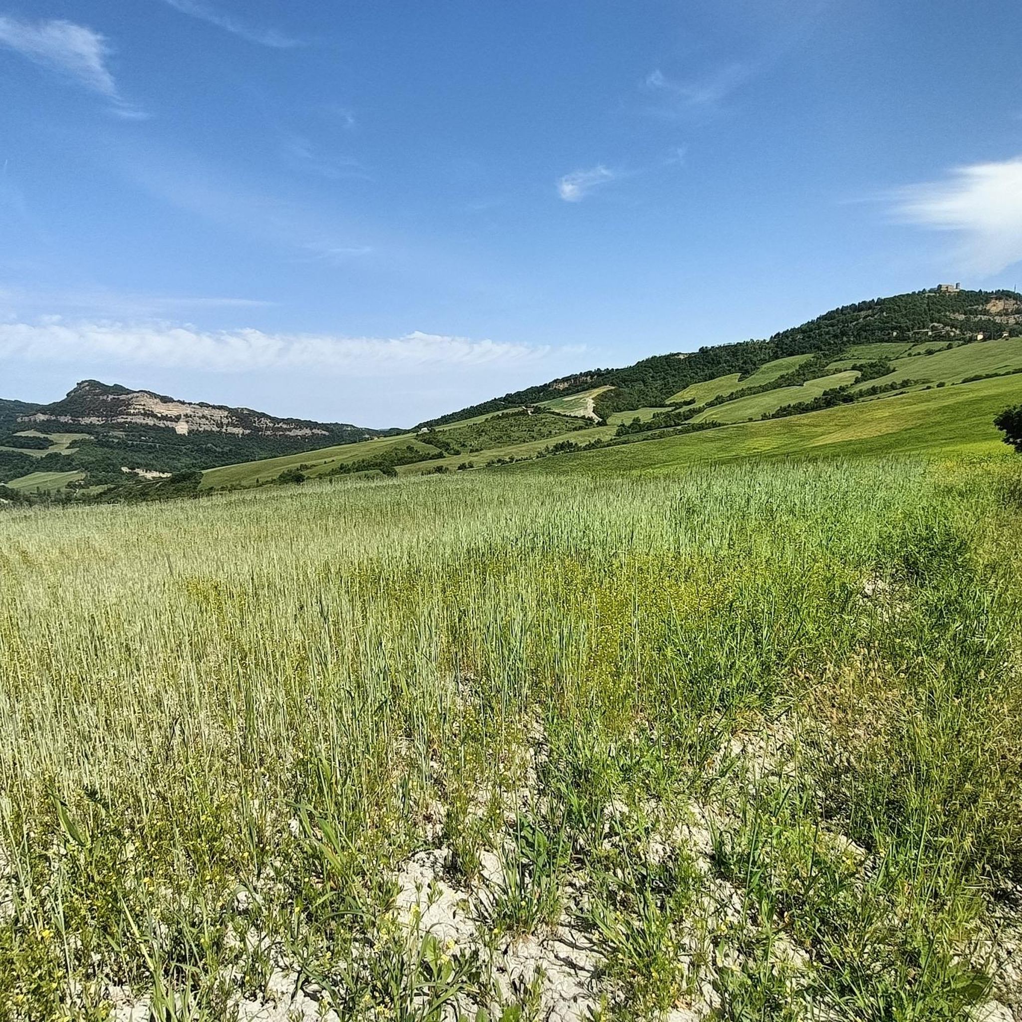
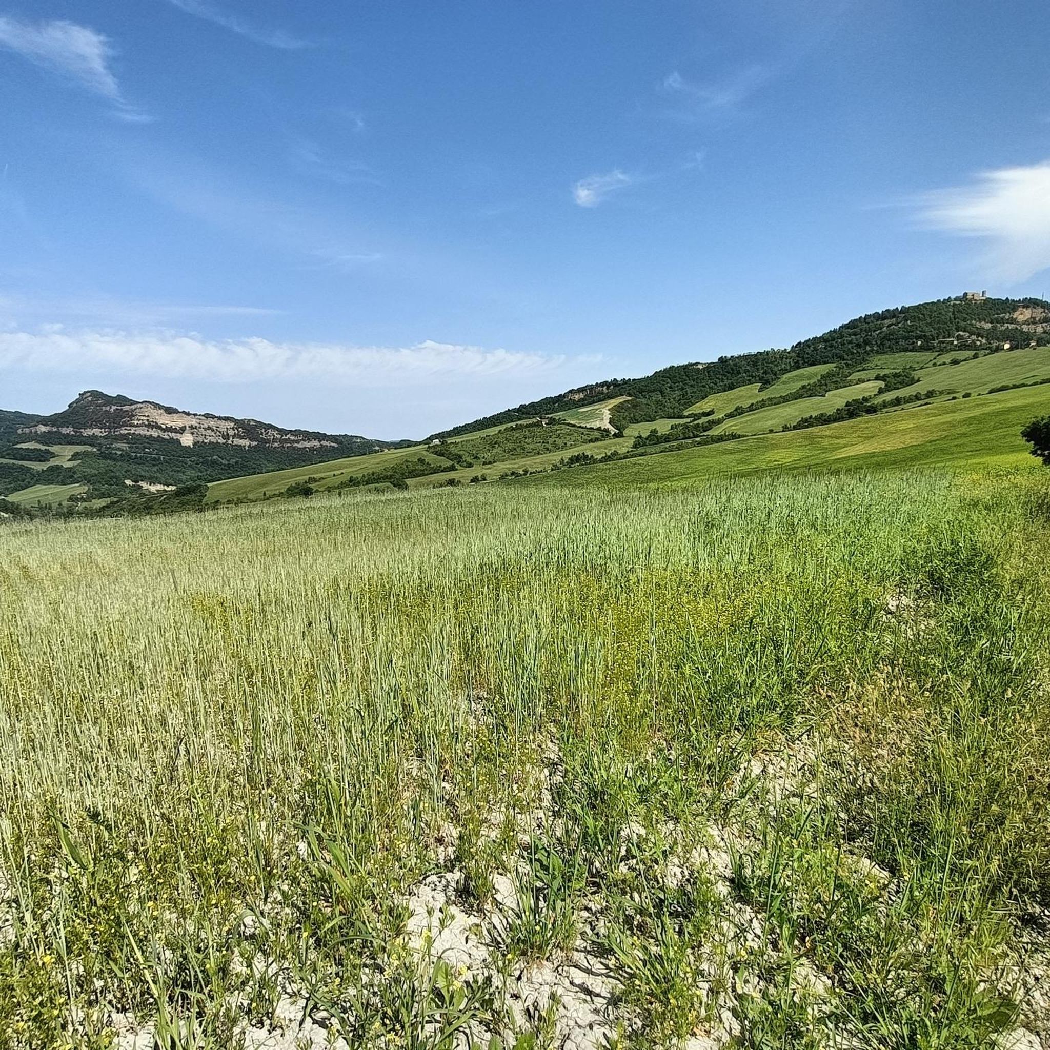
Hiking around Monterenzio offers diverse trails through a landscape characterized by rolling hills and rural villages in Italy. The region features routes that traverse the countryside, providing views of dramatic gullies and historic churches. Hikers can explore paths within natural areas like the Parco dei Gessi Bolognesi, which adds to the varied terrain. This area provides a mix of natural beauty and historical elements for outdoor activities.
Best hiking trails around Monterenzio
- The most popular hiking route is CAI 809…
Last updated: July 7, 2026
3.7
(3)
12
hikers
20.7km
06:46
940m
940m
Embark on the CAI 809 Trail, a challenging hike stretching 12.9 miles (20.7 km) from Livergnano to Monte delle Formiche. You will navigate varied terrain, moving through dense forests and…
4
hikers
9.08km
02:58
400m
400m
Countryside trail through rolling hills and rural villages with dramatic gully views and historic churches.

Sign up for free
7.55km
02:30
350m
350m
Hike the moderate 4.7-mile CAI Trail 805A in Parco dei Gessi Bolognesi, featuring rolling hills and historical landmarks.
4.6
(21)
64
hikers
11.4km
03:48
520m
520m
Hard hike. Good fitness required. Sure-footedness, sturdy shoes and alpine experience required.
4.4
(10)
36
hikers
11.8km
03:45
470m
470m
Moderate hike. Good fitness required. Easily-accessible paths. Suitable for all skill levels.
Get access to more routes and recommendations from other explorers.
Sign up for free
Already have an account?
Our route recommendations are based on thousands of hikes, rides, and runs completed by other people on komoot.
Start today with a free account
Your next adventure awaits.
Login or Signup

Tips from the Community

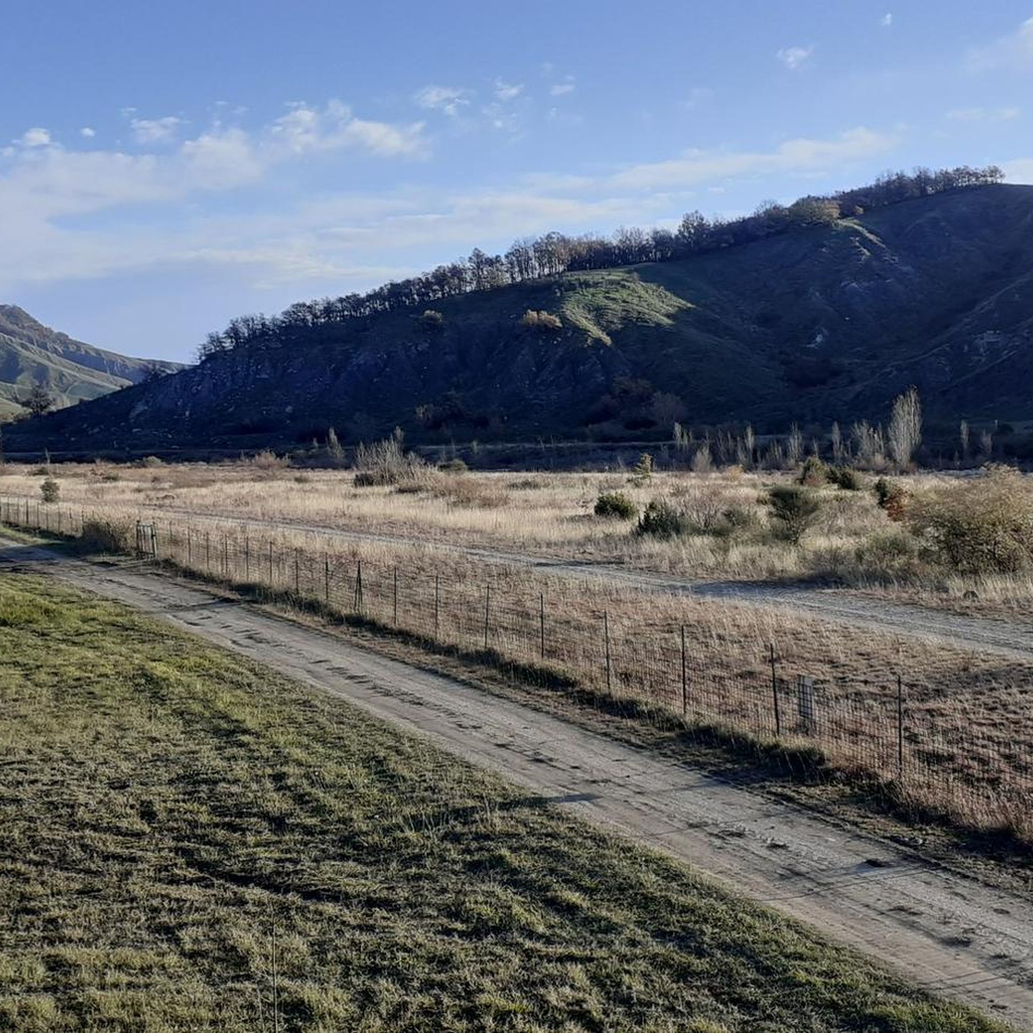
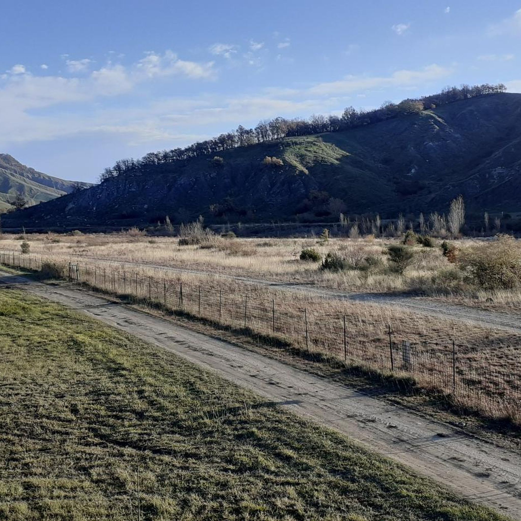
Information center for the Monte Bibele archaeological site, home to the remains of a unique Etruscan-Celtic village. Drinking water, cold showers available, and shelter. They are happy to camp in the beautiful meadows opposite. Highly recommended stop.
0
0


at certain times it is also possible to find it open to visit the church
0
0

Monte delle Formiche is a relief in the middle Bolognese Apennines above Pianoro, between the Idice valleys and the Zena valley. It has an altitude of 638 m. The name of the mountain seems to be linked to a natural phenomenon that occurs annually around September 8th, the feast day of the Madonna to whom a sanctuary is dedicated at the top of the mountain. Swarms of winged ants of the Mirmyca Scabrinodis variety migrate to this peak from central Europe to make their nuptial flight and die there. The event, which has been witnessed since ancient times, has over time taken on an almost miraculous value, a sort of homage from nature to the Madonna. From the sanctuary there is a beautiful panoramic view of the valleys below. By bike it is a beautiful climb with significant gradients.
0
0

The Luigi Fantini archaeological museum in Monterenzio displays Etruscan and Celtic finds from Monte Bibele and Monterenzio Vecchio. The museum was inaugurated in 2000 and rearranged in 2015 to illustrate the history and culture of these ancient populations in the Idice and Zena Valley areas. It also offers educational services and guided tours.
2
0
one of the many panoramic points in the area, a spectacle!!
0
0

An unmissable destination to enjoy a spectacular panorama
0
0
Frequently Asked Questions
How many hiking trails are available in Monterenzio?
Monterenzio offers a diverse network of over 30 hiking trails. These routes cater to various preferences, ranging from easy strolls to more challenging ascents through the region's rolling hills and rural landscapes.
What are the difficulty levels of hikes in Monterenzio?
The trails around Monterenzio offer a good mix of difficulty levels. You'll find 5 easy routes perfect for a relaxed walk, 18 moderate trails that provide a good workout, and 11 difficult paths for experienced hikers seeking a challenge.
Are there any easy hiking trails suitable for beginners or families?
Yes, Monterenzio has several easy trails. For a shorter, less strenuous option, consider the Summit of Monte Bibele – Snake Line - Monte Bibele loop from Monte Bibele. This 5.2 km loop has an elevation gain of under 200 meters and typically takes about 1.5 hours, making it ideal for a leisurely outing.
Are there any circular hiking routes in Monterenzio?
Yes, many trails in Monterenzio are designed as loops. An excellent moderate circular option is the Village Artworks – Castagnetta Stream loop from Monterenzio. This 11.6 km route features a 470-meter elevation gain and can be completed in under 4 hours, offering varied scenery.
What kind of scenery can I expect while hiking in Monterenzio?
Hikers in Monterenzio can expect picturesque scenery characterized by rolling hills, charming rural villages, and dramatic gullies. Many routes also feature historic churches and traverse natural areas like the Parco dei Gessi Bolognesi, offering a blend of natural beauty and cultural interest.
What do other hikers say about the trails in Monterenzio?
The hiking routes in Monterenzio are highly regarded by the komoot community, holding an average rating of 4.5 stars from over 350 reviews. Hikers often praise the diverse terrain, the blend of natural beauty with historical elements, and the well-maintained paths that cater to various skill levels.
Can I bring my dog on the trails in Monterenzio?
Generally, dogs are welcome on most hiking trails in Monterenzio, especially if kept on a leash. However, it's always advisable to check specific regulations for any protected natural areas or private lands you might encounter along your chosen route. Please ensure you clean up after your pet to maintain the natural environment.
Are there any specific natural areas or parks to explore?
Yes, a notable natural area is the Parco dei Gessi Bolognesi, which some trails traverse. For example, the CAI Trail 805A is a moderate 7.5 km route that leads through this park, offering unique geological features and historical landmarks.
Are there any interesting historical sites or landmarks along the trails?
Yes, the region around Monterenzio is rich in history. You might encounter historic churches and other landmarks along the trails. For those interested in historical structures, nearby attractions include the Cassero and Clock Tower of Castel San Pietro Terme or the Castello di Zena, which can be explored as part of a longer excursion.
What is the best time of year for hiking in Monterenzio?
The best time for hiking in Monterenzio is typically during the spring (April to June) and autumn (September to October) months. During these periods, the weather is generally mild and pleasant, and the natural scenery is particularly vibrant with blooming flowers or rich autumnal colors. Summer can also be enjoyable, especially in the mornings or late afternoons, though it can get quite warm.
Are there challenging hikes for experienced hikers?
Absolutely. For experienced hikers seeking a significant challenge, the CAI 809 Trail: Livergnano to Monte delle Formiche is an excellent option. This difficult 20.7 km trail features a substantial elevation gain of over 940 meters and can take almost 7 hours to complete.
Is public transport available to reach trailheads in Monterenzio?
Information on direct public transport to specific trailheads in Monterenzio is not readily available. It is generally recommended to check local bus schedules or consider driving to access the starting points of the hiking routes. Many trailheads may require private vehicle access.
Where can I find parking for hiking trails in Monterenzio?
Parking availability varies by trailhead. For popular routes or those starting near villages, you can often find designated parking areas or roadside parking. It's advisable to check the starting point of your chosen trail on a map or in the komoot app for specific parking recommendations before you set out.
Most popular routes around Monterenzio
Most popular attractions around Monterenzio

Get inspired with the komoot mobile app


Explore more
Browse the best Hikes in other regions.
