The best road cycling routes around San Benedetto Val Di Sambro
4.4
(262)
5,988
riders
24
rides
Road cycling routes around San Benedetto Val Di Sambro are situated in the mountainous Apennine region south of Bologna, characterized by expansive green forests and elevations exceeding 1,000 meters. The area features varied topography, including the Setta, Lambro, and Savena valleys, providing diverse terrain for road cyclists. Challenging climbs and descents are common, with routes often passing through picturesque villages and offering panoramic views of the surrounding natural landscape.
Best road cycling routes around San Benedetto Val Di Sambro
- The…
Last updated: November 1, 2026
4.8
(9)
273
riders
94.7km
04:23
1,150m
1,140m
Hard road ride. Very good fitness required. Mostly well-paved surfaces and easy to ride.
5.0
(1)
52
riders
154km
07:36
2,100m
2,100m
Hard road ride. Very good fitness required. Some segments of this route may be unpaved and difficult to ride.

52
riders
63.3km
03:10
1,000m
1,000m
Hard road ride. Very good fitness required. Mostly well-paved surfaces and easy to ride.
5.0
(1)
43
riders
95.1km
05:00
1,630m
1,630m
Hard road ride. Very good fitness required. Mostly well-paved surfaces and easy to ride.
4.7
(3)
22
riders
37.3km
02:10
880m
880m
Moderate road ride. Good fitness required. Some segments of this route may be unpaved and difficult to ride.
Get access to more routes and recommendations from other explorers.
Already have an account?
Our route recommendations are based on thousands of hikes, rides, and runs completed by other people on komoot.
Start today with a free account
Your next adventure awaits.
Popular around San Benedetto Val Di Sambro
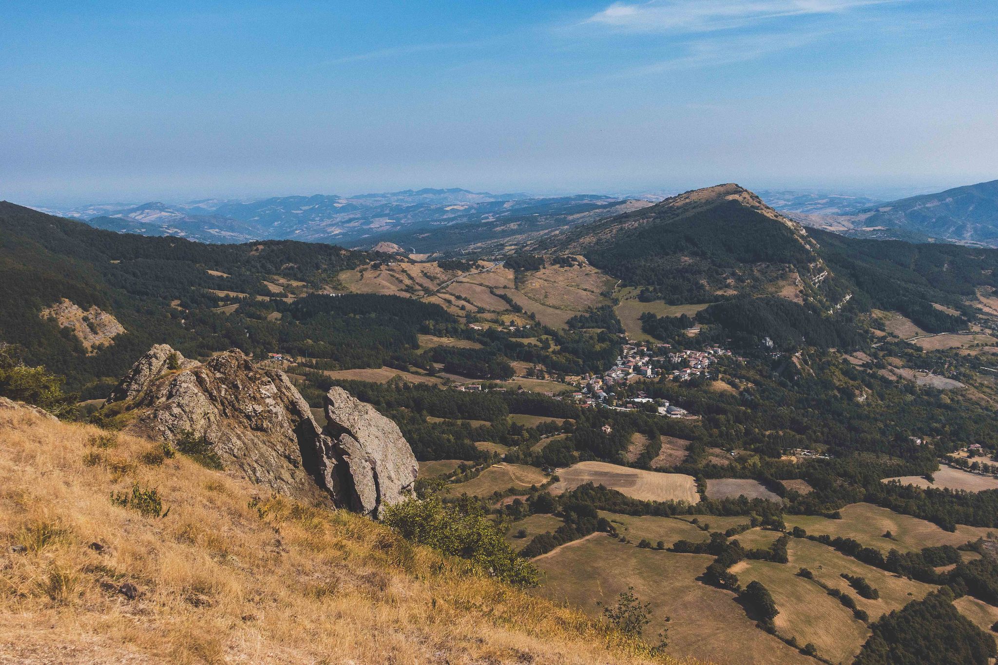
Western Mugello – Apennine passes and historic cycling climbs
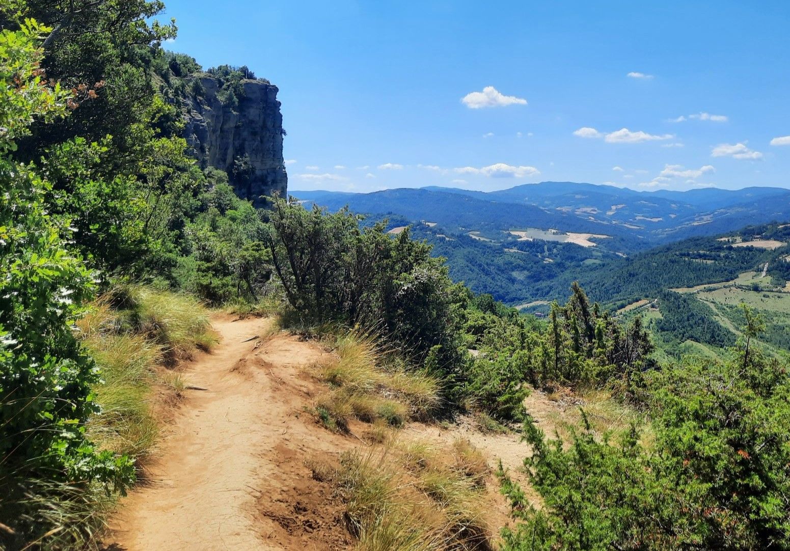
Bologna to Florence through the Apennines — the Via degli Dei

Hiking around San Benedetto Val Di Sambro

Running Trails around San Benedetto Val Di Sambro

MTB Trails around San Benedetto Val Di Sambro

Cycling around San Benedetto Val Di Sambro
Gravel biking around San Benedetto Val Di Sambro
Other adventures around San Benedetto Val Di Sambro


Tips from the Community

Great area to start beautiful hikes!
0
0

Mercatale di Vernio is a hamlet in the municipality of Vernio, located in the Val di Bisenzio in the province of Prato, Tuscany. It is situated along the Bisenzio river, nestled in the mountainous territory of the Tuscan-Emilian Apennines. In the village, you can find the former Meucci factory, which has been renovated and converted into a cultural center, housing the MUMAT (Museum of Textile Machinery), a testament to the area's textile tradition.
0
0
La Salita di Via della Soda is a very challenging cycling and running climb located in the Val di Bisenzio, known for connecting the area of Vernio (locations Celle/Le Soda) with the ridge towards Barberino di Mugello. Although not directly in the municipality of Vaiano, it is often included by enthusiasts in road bike loop itineraries that start from or pass through Vaiano.
0
0

You can get there via the SR 325 which is entirely on asphalt, but you have to be careful of the traffic.
0
0

Small village with bars and grocery stores for refreshments and rest along the way
0
0

From here, the path continues uphill for about 2 km to the Church of San Luca. On hot days, be sure to bring water.
5
0

We were here at the end of August 2024. There were many motorcyclists who rode very fast and dangerously here.
0
0
Good morning, wonderful road at the gates of Bologna completely passable after the floods of the last two years. The landscape has changed a lot after these events and is in some ways even wilder. Highly recommended to reach Quinzano (from Bologna 400 meters of altitude difference for about 40 km!) passing through hills, sheer cliffs covered with Mediterranean vegetation and the characteristic mountains of Formiche and Bibele. Passing near the latter you will find on the left the mixed Etruscan-Gallic village of great historical and archaeological importance and on the right in the valley bottom the Zena waterfalls which after two years of very intense rains are particularly suggestive
2
0
Frequently Asked Questions
How many road cycling routes are available in San Benedetto Val Di Sambro?
There are over 29 road cycling routes around San Benedetto Val Di Sambro, offering a variety of options for different skill levels. These include 13 moderate and 16 difficult routes, ensuring a suitable challenge for most road cyclists.
What is the best time of year for road cycling in this region?
The mountainous terrain of San Benedetto Val Di Sambro makes spring and autumn ideal for road cycling, offering pleasant temperatures and vibrant scenery. Summer can also be good, especially at higher elevations, but be prepared for warmer conditions in the valleys. Winter cycling is possible but may be limited by snow or colder temperatures, particularly on higher passes.
Are there any notable landmarks or scenic viewpoints along the road cycling routes?
Yes, the routes often pass through picturesque landscapes and offer stunning views. You can expect panoramic vistas of the Apennine mountains and green forests. Specific highlights include the tranquil Futa Pass, which offers extensive views, and the historic Burnt Inn Pass. The area also features the naturally formed Castel dell'Alpi Lake and charming ancient villages like Qualto and Ripoli.
Can I explore historical sites while road cycling in San Benedetto Val Di Sambro?
Absolutely. The region is rich in history. Sections of the ancient Roman road, Flaminia Militare, can be found near Monte Bastione and Madonna dei Fornelli, offering a unique cycling experience through history. The famous Via degli Dei, an ancient path connecting Bologna to Florence, also passes through the area, particularly near Madonna dei Fornelli, with some segments suitable for road cycling.
Are there options for parking near the road cycling routes?
Yes, parking is generally available in and around the main towns and villages such as San Benedetto Val di Sambro itself, and starting points for popular routes like Castel dell'Alpi. It's advisable to check specific route descriptions for recommended parking areas.
Is public transport available to access the cycling routes?
While San Benedetto Val Di Sambro is a mountainous region, it is connected by local bus services that can help access various points. However, public transport options might be limited, especially for reaching remote starting points. Planning your route and checking local schedules in advance is recommended.
Are there any circular road cycling routes in the area?
Many of the road cycling routes in San Benedetto Val Di Sambro are designed as loops, allowing you to start and finish in the same location. For example, the Saragozza Gate – Meloncello Arch loop from Castel dell'Alpi and the Climb to Passo della Futa – Futa Pass loop from San Benedetto Val di Sambro are popular circular options.
Are there any family-friendly road cycling routes?
While many routes in San Benedetto Val Di Sambro feature significant elevation changes, there are moderate options that could be suitable for families with older children or those seeking less strenuous rides. The region has 13 moderate routes, which tend to have less extreme climbs and descents. Always check the route details for distance and elevation before setting out with family.
Can I find places to eat or stay near the cycling routes?
Yes, the charming villages scattered throughout the region, such as Qualto, Zaccanesca, Ripoli, and Pian del Voglio, offer opportunities for refreshments and accommodation. You'll find local cafes, trattorias, and guesthouses where you can refuel and rest during or after your ride.
What kind of terrain can I expect on the road cycling routes?
The road cycling routes in San Benedetto Val Di Sambro are characterized by mountainous terrain, expansive green forests, and varied topography. You'll encounter challenging climbs and descents, winding roads through valleys like the Setta, Lambro, and Savena, and often pass through picturesque villages. The region offers a true Apennine cycling experience.
What do other cyclists say about road cycling in San Benedetto Val Di Sambro?
The area is highly rated by the komoot community, with an average score of 3.9 stars from over 20 reviews. Cyclists often praise the challenging climbs, the stunning natural beauty of the forests and valleys, and the sense of immersion in nature. Many appreciate the well-maintained roads and the opportunity to explore historical routes.
Are there any routes suitable for advanced road cyclists seeking a challenge?
Absolutely. San Benedetto Val Di Sambro is known for its challenging terrain. Routes like the Loiano – Zena Climb loop from San Benedetto Sambro-Castiglione Pepoli, covering 95.1 km with over 1600 meters of ascent, or the Montepiano – Sasseta Village loop from San Benedetto Sambro-Castiglione Pepoli, offer significant elevation gains and distances, perfect for experienced riders looking for a demanding ride.
Are there any moderate road cycling routes for those not seeking extreme climbs?
Yes, while the region is known for its challenging routes, there are 13 moderate road cycling routes available. An example is the Montefredente Pass – Baragazza loop from Montefredente, which covers 38.7 km with around 870 meters of elevation gain, offering a substantial ride without the most extreme ascents.
Most popular routes around San Benedetto Val Di Sambro
Most popular attractions around San Benedetto Val Di Sambro

Get inspired with the komoot mobile app


Explore more
Browse the best Road cycling routes in other regions.
