The best walks and hikes around Casola Valsenio
4.5
(235)
809
hikers
48
hikes
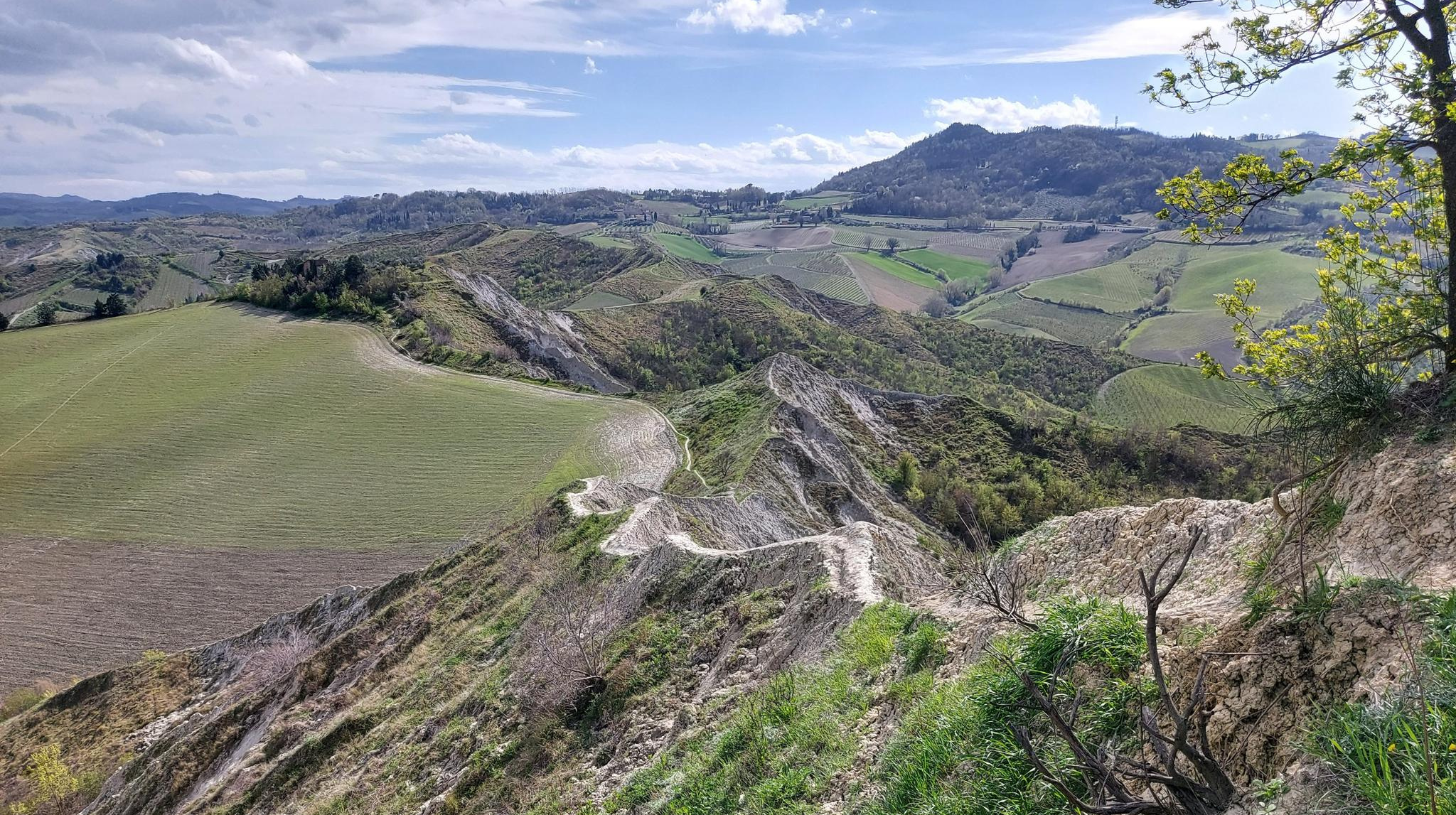
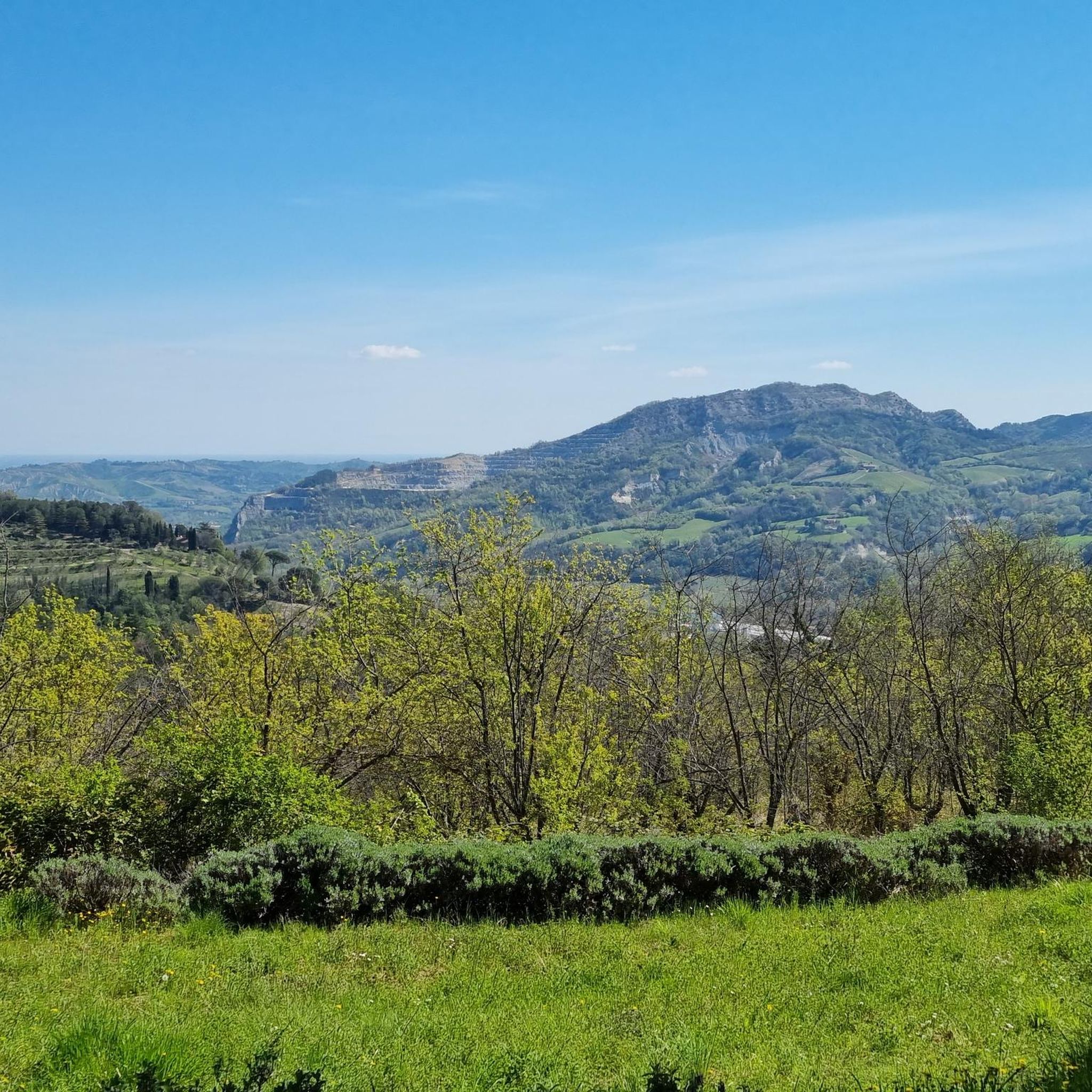
Hiking around Casola Valsenio offers diverse natural landscapes within the Tuscan-Romagna Apennines. The region borders the Vena del Gesso Romagnola Regional Park, characterized by a unique 20-kilometer-long gypsum ridge and extensive karst phenomena. The terrain includes rolling hills, Mediterranean scrub, and ample wooded areas with chestnut trees. This geological diversity provides varied hiking experiences across different elevations and environments.
Best hiking trails around Casola Valsenio
- The most popular hiking route is Monte Battaglia – loop from Casola Valsenio, a difficult 10.6 miles (17.0 km) trail that takes about 5 hours 15 minutes to complete. This route offers panoramic vistas of the Romagna Chalk Vein Regional Park.
- Another top favourite among local hikers is Corolla delle Ginestre Trail, a difficult 14.3 miles (23.1 km) path. This extensive route leads through diverse Apennine scenery, showcasing the region's varied natural beauty.
- Local hikers also love the Monte Battaglia Path of Peace, a 6.1 miles (9.7 km) trail leading through historically significant areas towards Monte Battaglia, often completed in about 3 hours 20 minutes.
- Hiking around Casola Valsenio is defined by its distinctive gypsum landscapes, rolling hills, and wooded areas. The comprehensive network offers options for different ability levels, from moderate paths to more challenging routes.
- The routes in Casola Valsenio are highly rated by the komoot community with an average score of 4.5 stars from over 200 reviews. More than 700 hikers have used komoot to explore Casola Valsenio's varied terrain.
Last updated: May 26, 2026
3.6
(5)
10
hikers
17.1km
05:16
620m
620m
Hard hike. Very good fitness required. Mostly accessible paths. Sure-footedness required.
5.0
(1)
6
hikers
9.75km
03:20
500m
500m
Moderate hike. Good fitness required. Mostly accessible paths. Sure-footedness required.

Sign up for free
5.0
(2)
9
hikers
23.1km
07:21
830m
830m
Hard hike. Very good fitness required. Mostly accessible paths. Sure-footedness required.
4.6
(5)
7
hikers
4.98km
01:40
230m
230m
Moderate hike. Great for any fitness level. Mostly accessible paths. Sure-footedness required.
Hard hike. Very good fitness required. Easily-accessible paths. Suitable for all skill levels.
Get access to more routes and recommendations from other explorers.
Sign up for free
Already have an account?
Our route recommendations are based on thousands of hikes, rides, and runs completed by other people on komoot.
Start today with a free account
Your next adventure awaits.
Login or Signup

Other adventures around Casola Valsenio

Tips from the Community

These are the ruins of the castle of San Michele di Monte Fortino.
1
0

Beautiful in all seasons.
0
0

I don't understand why it is indicated as S1. It is a road mostly suitable for vehicles, without difficulty. After the Dutch house some sections are in concrete. It is feasible both downhill from Monte Battagliola and uphill, definitely more fun, from the casolana (Cardello area). The only precaution when passing by the Dutch farmhouse is to moderate your speed because there may be people.
0
0

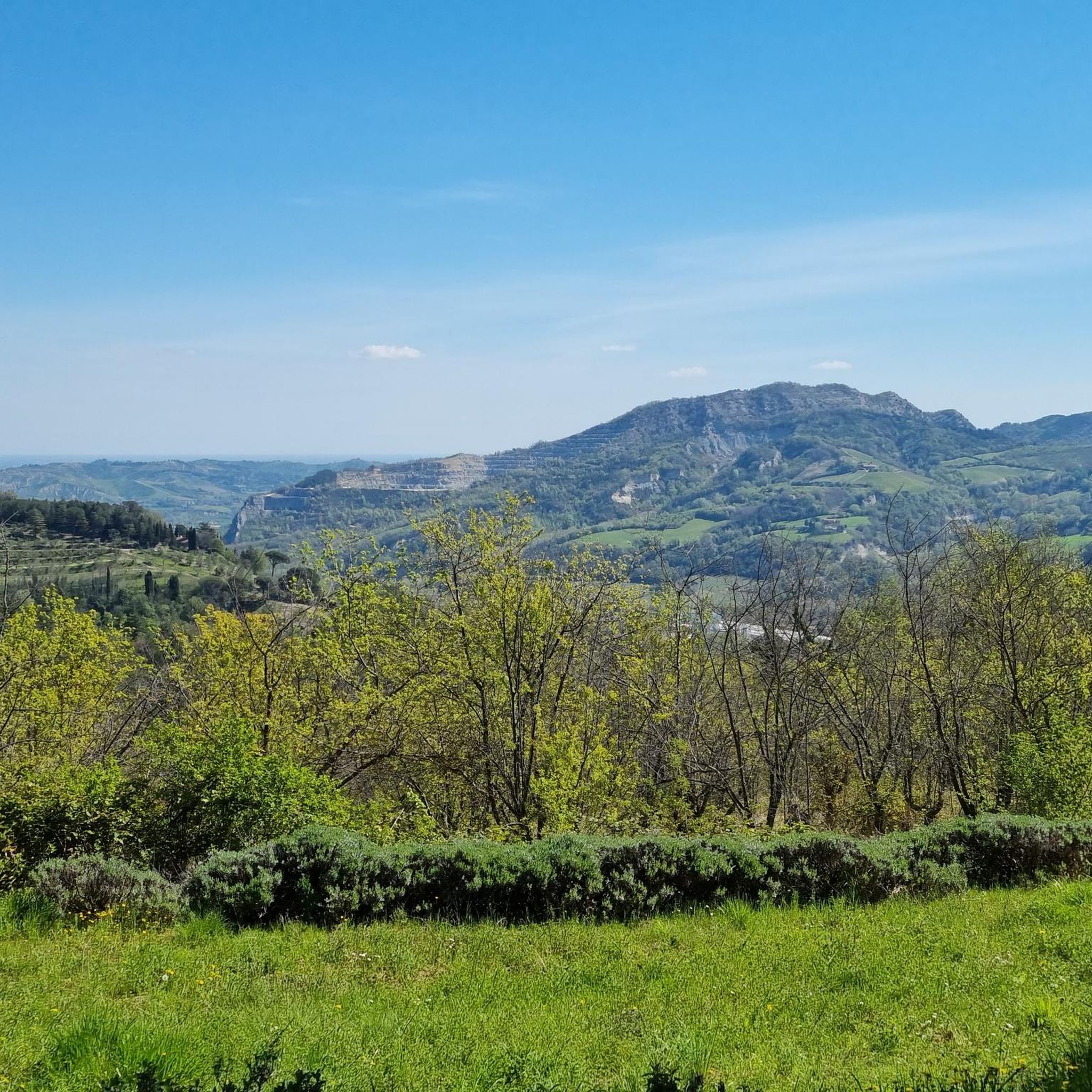
Panoramic point offering a view of the small Monte della Tesa (514 meters above sea level).
2
0
The name of this mountain should derive from a great battle fought between the Goths and the Byzantines in the 6th century. Over the years it was also used as a hideout for bandits. On its summit stand the fortress of Monte Battaglia and the monument to peace between peoples.
4
0
Frequently Asked Questions
What types of landscapes can I expect to see while hiking around Casola Valsenio?
Hiking around Casola Valsenio offers a diverse range of landscapes. You'll encounter the unique gypsum ridge of the Vena del Gesso Romagnola Regional Park, often called 'selenite' or 'moon rock' due to its luminous appearance. The area features extensive karst phenomena like sinkholes and caves, Mediterranean scrub on sun-exposed slopes, and ample wooded areas with chestnut trees. Expect gentle, winding roads dotted with lavender and broom, providing picturesque views of the Tuscan-Romagna Apennines.
Are there any easy hiking trails suitable for beginners or families in Casola Valsenio?
Yes, Casola Valsenio offers a good selection of trails for all levels. There are 10 easy routes available, perfect for beginners or families looking for a relaxed walk. While specific easy routes aren't detailed here, the region's comprehensive network ensures options for less strenuous outdoor experiences, including paths along the River Park of Casola Valsenio.
What are some notable historical sites or viewpoints accessible via hiking trails?
One significant historical site is Monte Battaglia, a national monument offering panoramic vistas of the Romagna Chalk Vein Regional Park and the surrounding Apennines. You can reach it via trails like the Monte Battaglia Path of Peace, a moderate 9.7 km route with historical significance, or the shorter From Baffadi Church to Monte Battaglia (via CAI 623).
Are there any circular hiking routes in the area?
Yes, circular routes are a popular option in Casola Valsenio. One prominent example is the Monte Battaglia – loop from Casola Valsenio, a challenging 17.0 km trail that provides panoramic views and returns you to your starting point. The region's extensive network includes many other loop trails, such as the 'Carnè ring trail' and 'Monte Mauro Loop Trail' within the Vena del Gesso Romagnola Regional Park.
What unique natural attractions can I explore besides hiking trails?
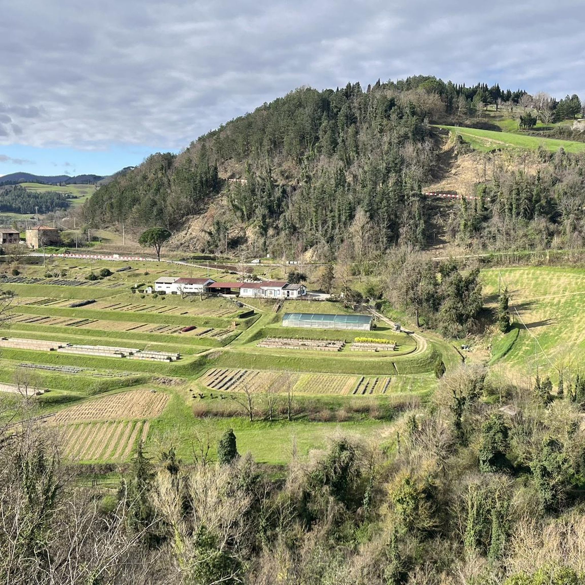
Beyond the trails, you can explore the Giardino delle Erbe "Augusto Rinaldi Ceroni", one of Europe's largest botanical gardens. It's dedicated to over 400 species of medicinal, aromatic, and culinary plants, offering botanical walks and themed terraces overlooking the Senio Valley. The Vena del Gesso Romagnola Regional Park itself is a natural wonder with its gypsum ridge and karst caves like Grotta Tanaccia.
How long do hikes typically take in Casola Valsenio?
Hiking durations vary significantly depending on the route's length and difficulty. For example, the moderate Monte Battaglia Path of Peace typically takes about 3 hours 20 minutes, while more challenging routes like the Monte Battaglia – loop from Casola Valsenio can take around 5 hours 15 minutes. The most extensive routes, such as the Corolla delle Ginestre Trail, might require over 7 hours to complete.
What do other hikers say about the trails in Casola Valsenio?
The hiking routes in Casola Valsenio are highly regarded by the komoot community, holding an average score of 4.5 stars from over 200 reviews. Hikers often praise the distinctive gypsum landscapes, the varied terrain, and the comprehensive network of paths that cater to different ability levels. Many appreciate the panoramic views, especially from historical sites like Monte Battaglia.
Are there any trails that are part of a larger trekking network?
Yes, many paths in Casola Valsenio are integrated into larger trekking routes. The area's trails connect to national and regional parks across the Apennines, forming part of extensive networks like the Alta Via dei Parchi. This allows for longer, multi-day trekking experiences for those looking to explore beyond the immediate vicinity.
What is the best time of year to go hiking in Casola Valsenio?
Casola Valsenio is an appealing destination for hiking throughout much of the year. Spring and autumn offer pleasant temperatures and vibrant natural colors, with lavender bushes and broom adding to the picturesque scenery. Summer can be warm, but the wooded areas provide shade. Winter hikes are also possible, especially on lower elevation trails, allowing you to experience the unique gypsum landscapes in a different light.
How many hiking trails are available in the Casola Valsenio region?
There are nearly 50 hiking trails available around Casola Valsenio, offering a wide range of options for all skill levels. This includes 10 easy routes, 28 moderate routes, and 11 difficult routes, ensuring there's a suitable path for every hiker.
Are there any interesting natural landmarks or geological features to look out for?
Absolutely. The most prominent feature is the Vena del Gesso Romagnola Regional Park, home to a spectacular 20-kilometer-long ridge of gypsum, known as 'selenite.' This unique geological formation creates dramatic landscapes with extensive karst phenomena, including sinkholes and numerous caves. Keep an eye out for the luminous appearance of the 'moon rock' and the contrasting Mediterranean scrub and wooded areas.
Most popular routes around Casola Valsenio
Most popular attractions around Casola Valsenio

Get inspired with the komoot mobile app


Explore more
Browse the best Hikes in other regions.
