The best road cycling routes around Schuttertal
4.5
(803)
11,457
riders
173
rides
Road cycling around Schuttertal, nestled in the central Black Forest, offers varied terrain characterized by green, hilly landscapes, dense woodlands, and charming river valleys. The region features elevations ranging from approximately 250 to 750 meters above sea level, providing routes with significant elevation changes and diverse gradients. Cyclists can expect winding roads that traverse this hilly topography, often away from major traffic, within the Naturpark Schwarzwald Mitte/Nord. The Schutter river meanders through the valley, adding to the scenic road cycling…
Last updated: May 11, 2026
4.7
(13)
187
riders
38.1km
01:32
170m
170m
Moderate road ride. Great for any fitness level. Some segments of this route may be unpaved and difficult to ride.
4.7
(12)
76
riders
34.2km
02:02
620m
620m
Moderate road ride. Good fitness required. Mostly well-paved surfaces and easy to ride.

Sign up for free
4.7
(3)
79
riders
75.9km
03:44
1,020m
1,020m
Hard road ride. Very good fitness required. Mostly well-paved surfaces and easy to ride.
4.0
(6)
59
riders
Easy road ride. Great for any fitness level. Mostly well-paved surfaces and easy to ride.
5.0
(2)
63
riders
28.1km
01:14
240m
240m
Easy road ride. Great for any fitness level. Mostly well-paved surfaces and easy to ride.
Get access to more routes and recommendations from other explorers.
Sign up for free
Already have an account?
Our route recommendations are based on thousands of hikes, rides, and runs completed by other people on komoot.
Start today with a free account
Your next adventure awaits.
Login or Signup
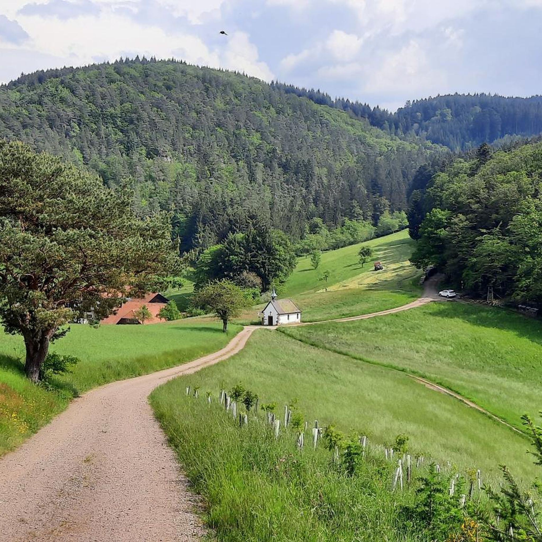
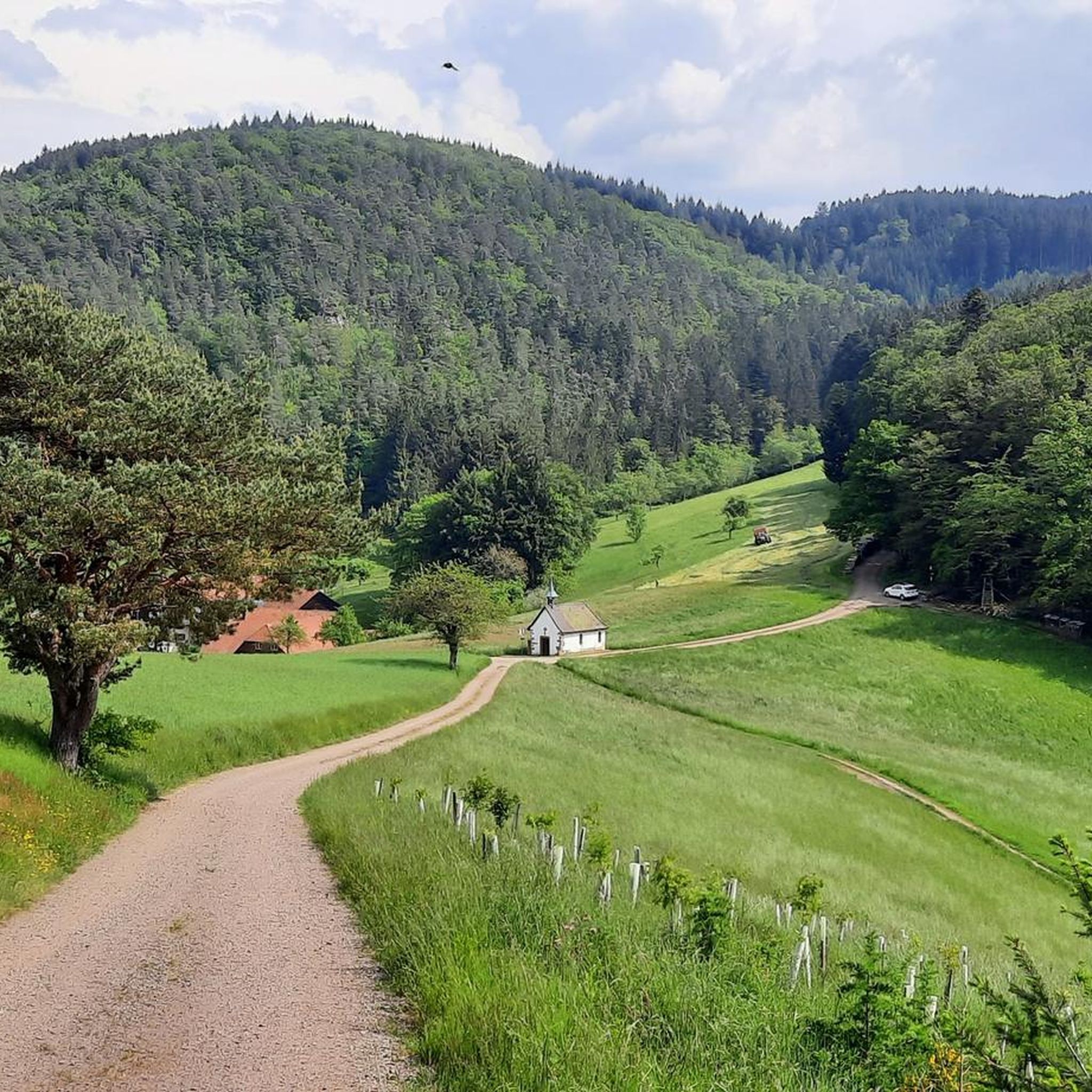
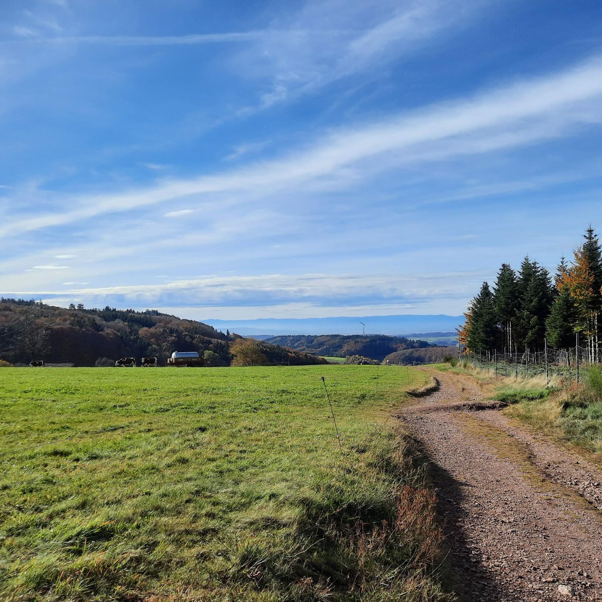
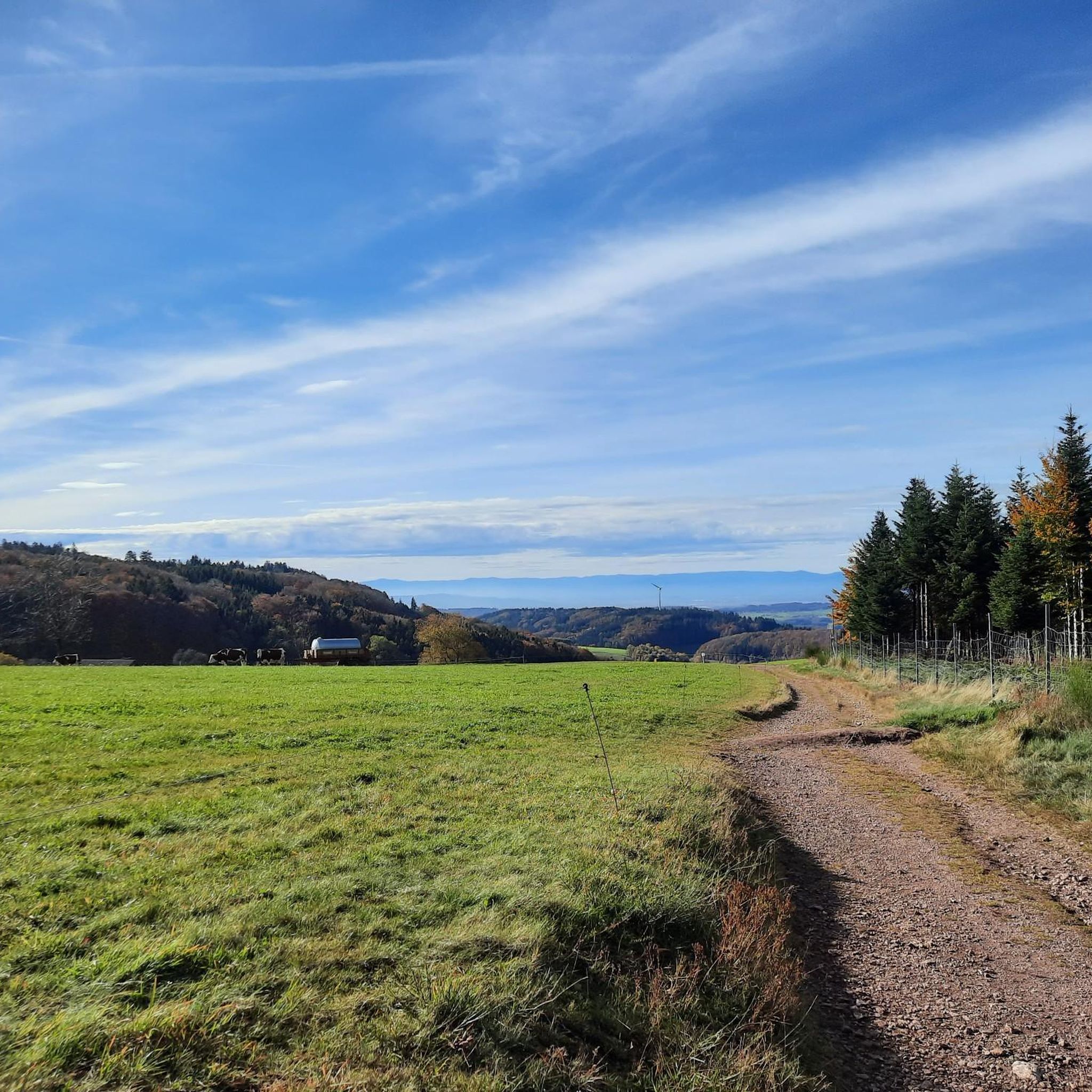
Tips from the Community

A pass for cars, bikers come down to the pass, and then it's straight back up again on the other side. There's a good restaurant here, with a terrace in the summer 😜
0
0


The half-timbered house, dating from 1716, is Steinach's landmark. The roots of the "Adler," however, go back much earlier, to around 1570. In 1704, the house, like much of Steinach, was burned down. Reconstruction began in 1715.
3
0


Beautiful views of the landscape, but a good amount of steepness to reach it.
0
0


Frequently Asked Questions
What is the typical terrain and difficulty for road cycling in Schuttertal?
Road cycling in Schuttertal, located in the central Black Forest, offers varied terrain with significant elevation changes. You'll find green, hilly landscapes, dense woodlands, and charming river valleys. Elevations range from approximately 250 to 750 meters above sea level, ensuring routes with diverse gradients and challenging ascents. The region is known for its winding roads, often away from major traffic, providing an immersive experience within nature.
Are there road cycling routes suitable for beginners or those seeking an easier ride?
Yes, Schuttertal offers options for various ability levels. While many routes feature challenging climbs, there are easier paths available. For instance, the Seepark – Schutter Valley Cycle Path loop from VVG der Gemeinde Seelbach is an easy route with minimal elevation gain, perfect for a more relaxed ride. Another easy option is the Schuttertal – Schuttertal loop from Schweighausen.
What kind of elevation challenges can I expect on road cycling routes in Schuttertal?
Schuttertal's topography ensures interesting and challenging routes with considerable elevation changes. For example, the View of Freiamt – View of Hohengeroldseck Castle loop from Seelbach involves over 1000 meters of elevation gain, making it a difficult but rewarding ride. Even moderate routes like the View of the Black Forest – Descent Through Biederbach loop from Kirchhöfe include over 600 meters of ascent.
What natural features or landmarks can I see while road cycling in Schuttertal?
The region is rich in natural beauty and historical sites. You can enjoy views of the Schutter river as it meanders through the valley. The Hünersedel mountain, at 744.3 meters, offers expansive views from its observation tower. Historic sites like the Hohengeroldseck Castle Ruins and Lützelhardt Castle Ruins also provide cultural enrichment and can be incorporated into your tours. For example, the View of Freiamt – View of Hohengeroldseck Castle loop from Seelbach passes by the Hohengeroldseck Castle.
Are there any specific viewpoints worth visiting on a road cycling tour?
Absolutely. The Hünersedel Observation Tower is a prominent viewpoint offering 'gigantic views' over the surrounding Black Forest landscape, making it a rewarding destination after a climb. Additionally, many routes, such as the View of the Black Forest – Descent Through Biederbach loop from Kirchhöfe, offer panoramic views of the Black Forest itself.
Is parking available for road cyclists in Schuttertal?
While specific parking areas for cyclists are not detailed, Schuttertal is a popular outdoor destination, and parking is generally available in villages and at trailheads. It's advisable to check local signage or municipal websites for designated parking zones in areas like Steinach, Kirchhöfe, or Seelbach, which are common starting points for routes.
Can I use public transport with my road bike in the Schuttertal region?
The broader Black Forest region, including areas around Schuttertal, offers a 'RadBus' service. This service is designed to transport bikes and riders, particularly useful for tackling challenging uphill sections or for cyclists who prefer to enjoy descents without the arduous climb. It's recommended to check the specific RadBus schedules and routes for the Schuttertal area to confirm bike transport options.
When is the best time of year to go road cycling in Schuttertal?
The best time for road cycling in Schuttertal is typically from spring through autumn. During these seasons, the weather is generally milder and more stable, making for pleasant riding conditions. The green, hilly landscapes are particularly vibrant in spring and summer, while autumn offers beautiful foliage. Winter cycling might be possible on cleared roads but can be challenging due to snow and ice at higher elevations.
Are there family-friendly road cycling routes in Schuttertal?
Yes, there are routes suitable for families, especially those looking for less strenuous rides. The Seepark – Schutter Valley Cycle Path loop from VVG der Gemeinde Seelbach is an easy route that follows the Schutter river, offering a gentle experience. The region also features a 'Forest Play Path' along the Schutter river, which, while geared towards children, provides a pleasant and relaxed route for cycling or walking.
Can I bring my dog on road cycling tours in Schuttertal?
While the Black Forest region is generally dog-friendly for hiking, road cycling with dogs can be more challenging due to traffic and the nature of paved roads. If your dog is accustomed to running alongside a bike, ensure they are leashed and well-behaved. For a more relaxed experience with your dog, consider exploring the many hiking trails in the area, where dogs are often welcome.
What do other road cyclists enjoy the most about road cycling in Schuttertal?
The road cycling routes in Schuttertal are highly rated by the komoot community, with an average score of 4.5 stars from over 700 reviews. Cyclists often praise the varied terrain, the challenging yet rewarding ascents, and the scenic beauty of the Black Forest landscapes and river valleys. The presence of winding roads away from major traffic is also frequently highlighted as a positive aspect.
Are there places to stop for refreshments or accommodation along the routes?
Yes, the Schuttertal region, being part of the Black Forest, has various options for refreshments and accommodation. You can find huts and cabins, such as the Kreuzmoos Hiking Lodge or the Guttahütte, which often offer food and drinks. Additionally, villages along the routes will have cafes, pubs, and guesthouses catering to visitors.
Are there any mountain passes I can conquer by road bike in the Schuttertal area?
Yes, the region offers several mountain passes that provide excellent challenges for road cyclists. Notable passes include the Gscheid Pass and the Heidburg Pass crossing. These passes are known for their demanding ascents and offer rewarding views from the top, characteristic of the Black Forest's challenging topography.
Most popular routes around Schuttertal
Most popular attractions around Schuttertal

Get inspired with the komoot mobile app


Explore more
Browse the best Road cycling routes in other regions.
