The best walks and hikes around Amorosi
4.6
(29)
115
hikers
16
hikes
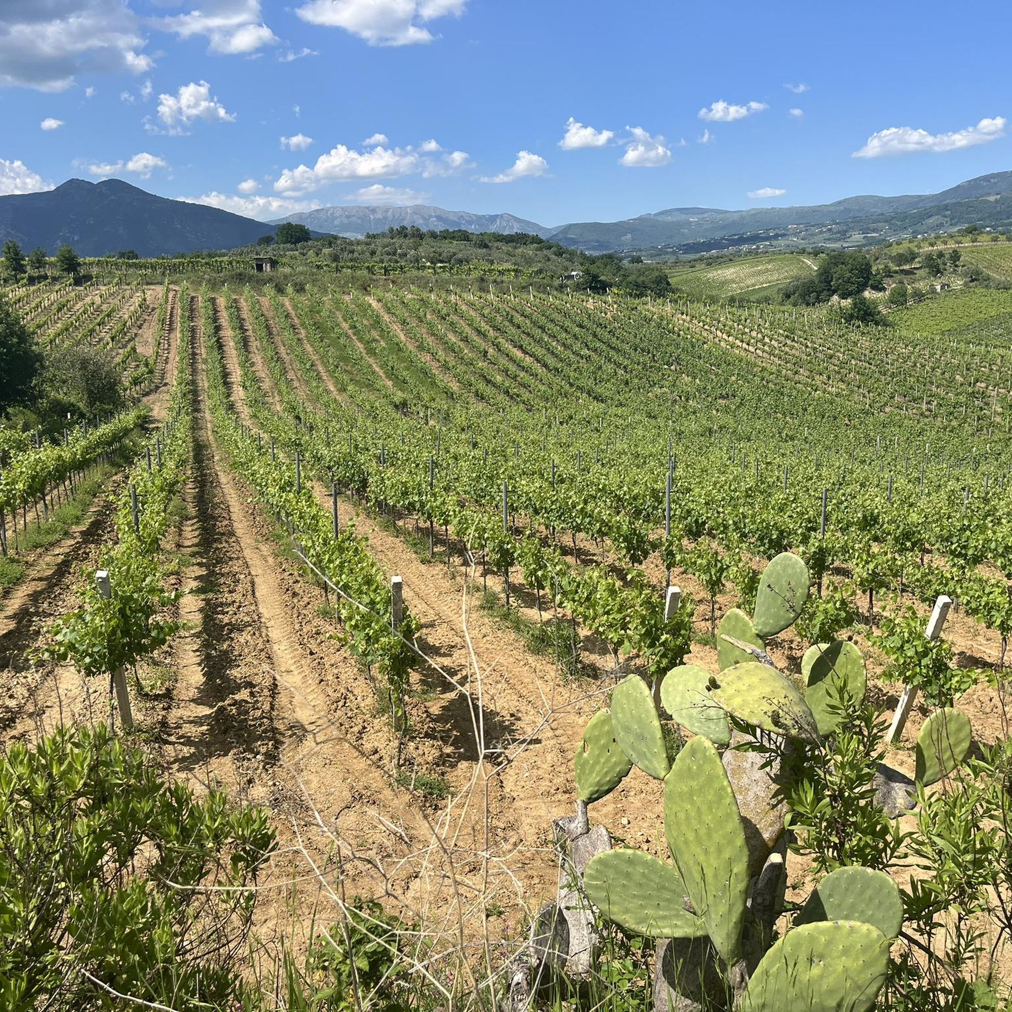
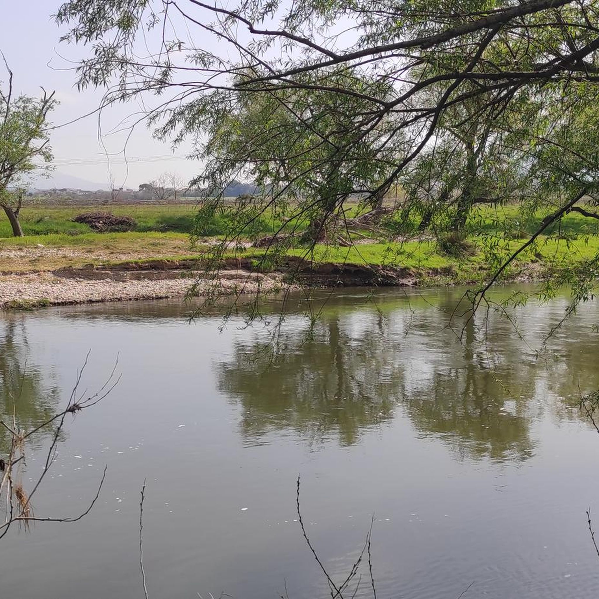
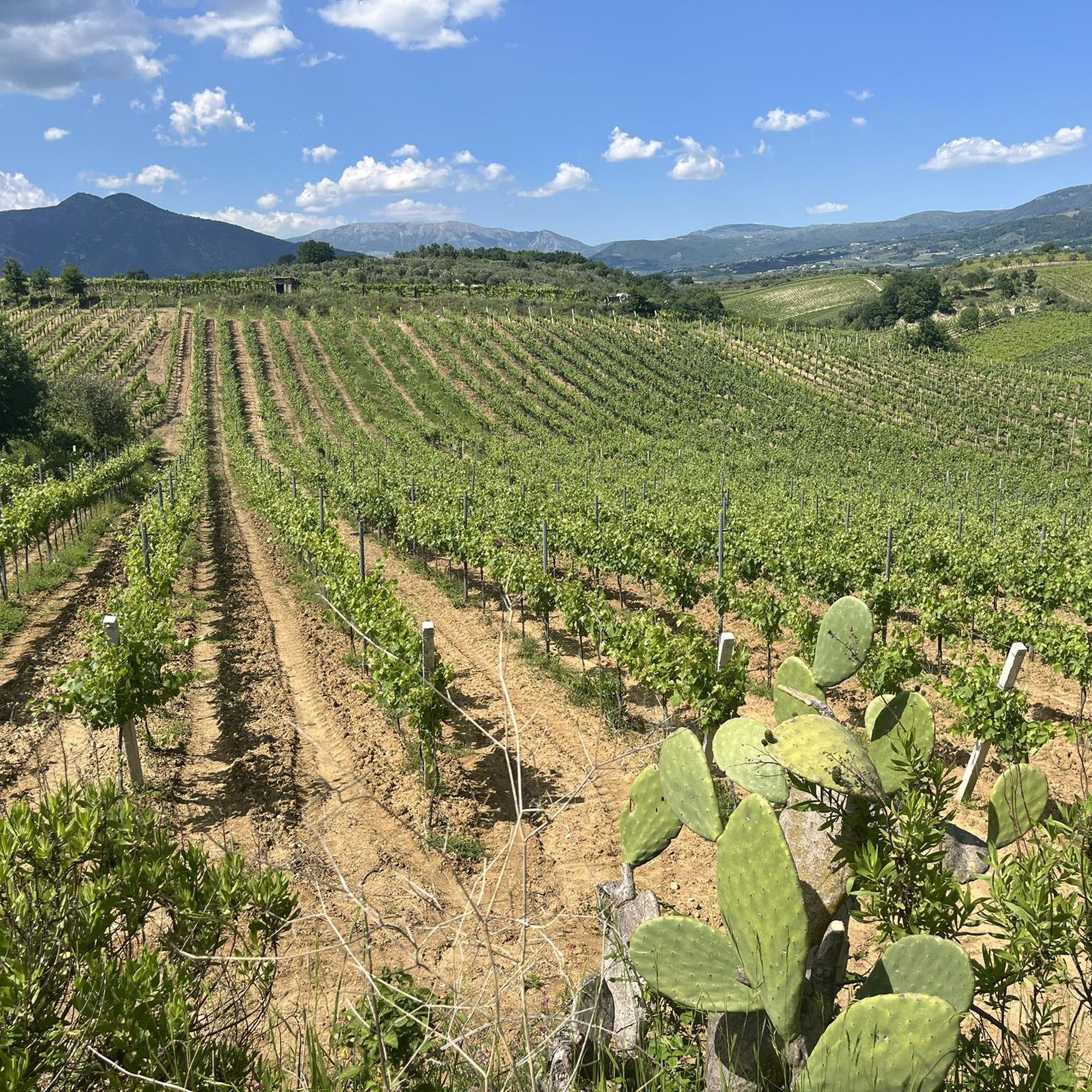
Hiking around Amorosi offers access to varied landscapes within the Campania region, characterized by rolling hills and lush river valleys. The town is situated near the confluence of the Volturno and Calore rivers, contributing to a verdant environment with rich riverine ecosystems. Proximity to the Parco Regionale del Matese provides opportunities for exploring diverse terrain, including moderate elevation gains. The area features a mix of agricultural lands and natural habitats.
Best hiking trails around Amorosi
- The most popular hiking route…
Last updated: July 1, 2026
4.6
(5)
13
hikers
6.37km
01:53
180m
180m
Easy hike. Great for any fitness level. Easily-accessible paths. Suitable for all skill levels.
4.8
(4)
12
hikers
6.40km
02:35
510m
510m
Moderate hike. Good fitness required. Easily-accessible paths. Suitable for all skill levels.

Sign up for free
1
hikers
8.44km
03:05
520m
520m
Moderate hike. Good fitness required. Easily-accessible paths. Suitable for all skill levels.
5.0
(5)
17
hikers
24.0km
06:48
510m
510m
Hard hike. Very good fitness required. Easily-accessible paths. Suitable for all skill levels.
3.7
(3)
9
hikers
Hard hike. Very good fitness required. Easily-accessible paths. Suitable for all skill levels.
Get access to more routes and recommendations from other explorers.
Sign up for free
Already have an account?
Our route recommendations are based on thousands of hikes, rides, and runs completed by other people on komoot.
Start today with a free account
Your next adventure awaits.
Login or Signup

Tips from the Community


The sanctuary of Archangel Michael "San MICHELE Arcangelico" mentioned by Nature of Sal can be accessed as a hiking highlight on komoot under the following link: https://www.komoot.de/highlight/5518102
0
0

The castle of Faicchio is a historic medieval residence that dates back to the mid-12th century. It has an irregular polygon shape with three towers and a monumental entrance door. Today it is home to a museum, there is a restaurant and it is used for events and weddings.
1
0

An interesting route immersed in nature among deep sinkholes of karst origin.
1
1

The cave of S. Michele, at about 500 meters above sea level, was used from the 18th century, and was intended for the cult of the Archangel Michael. Around the cave there is a rest area for hikers. There are various frescoes in a style influenced by the Byzantines.
3
0
A large sinkhole is hidden within the dense vegetation.
1
0
Here you can see the ruins of a medieval church. The building dates back to the 9th century. Over the centuries it was modified and enlarged, because it became a destination for pilgrims, probably due to the presence of the remains of a saint inside it. Furthermore, it is also found on the road to the sanctuary of San Michele Arcangelo. A possible cause of the demolition could have been the Sannio earthquake in 1688, but there are no certain sources.
3
0
Monte Acero is 736 m high and a particularity are the three kilometers of dry stone wall at the top. These are from the 6th century BC, and there is also a statue dedicated to Jesus the Redeemer. Every first Sunday of August a pilgrimage is organized to this monument which starts from Cerreto Sannita.
1
0
Frequently Asked Questions
How many hiking trails are available around Amorosi?
There are over 10 hiking routes around Amorosi, offering a variety of experiences from easy riverside walks to more challenging ascents. The komoot community has explored these trails over 70 times.
What kind of terrain can I expect when hiking near Amorosi?
Hiking around Amorosi features diverse terrain, including rolling hills, lush river valleys, and access to regional parks like Parco Regionale del Matese. You'll find a mix of agricultural lands and natural habitats, with some routes involving significant elevation gain.
Are there any easy hiking routes suitable for beginners or families?
Yes, there are several easy routes. For instance, the From Telese Terme to the dolines of Grassano Park - loop tour is an easy 4.0-mile (6.4 km) trail that explores the natural features of Grassano Park and is generally completed in under two hours.
Where can I find more challenging hikes with significant elevation gain?
For more challenging hikes, consider routes within the Parco Regionale del Matese. The St. Michael's Cave Trail 18B is a moderate 4.0-mile (6.4 km) path featuring substantial elevation gain, offering a good workout and rewarding views.
Are there any circular hiking routes around Amorosi?
Yes, several routes are circular. The Monte Acero Loop from Massa is a popular 5.2-mile (8.4 km) circular trail through hilly terrain, typically taking just over three hours to complete.
What natural features or landmarks can I see while hiking?
The area is rich in natural beauty. You can explore riverine ecosystems near the Volturno and Calore rivers, which are home to diverse bird species. For specific landmarks, consider visiting Lake Telese or exploring the Taburno Camposauro Regional Park.
Are there any historical or cultural attractions accessible from the trails?
Yes, the region has historical sites. You might encounter the Ducal Castle of Castelpagano or the Sanctuary of Our Lady of the Roseto. The town of Limatola also offers historical charm.
What do other hikers say about the trails in Amorosi?
The trails in Amorosi are highly rated by the komoot community, with an average score of 4.5 stars from more than 20 reviews. Hikers often praise the varied terrain, from gentle river paths to more strenuous mountain ascents, and the natural beauty of the Campania region.
What is the best time of year to go hiking in Amorosi?
The Campania region generally offers pleasant hiking conditions during spring and autumn, when temperatures are milder. Summer can be warm, especially in river valleys, while winter might bring cooler temperatures to higher elevations in regional parks like Matese.
Are there any long-distance hiking options near Amorosi?
For a longer excursion, consider the difficult 11.5-mile (18.5 km) Church of San Pietro in Massa – Voragine Dolina dell'Acqua loop from San Salvatore Telesino, which offers a full day of hiking and exploration.
Can I find trails that lead to viewpoints or summits?
Yes, the area includes several peaks and viewpoints. You can hike towards summits like Pizzo dei Favi or Monte Camposauro for panoramic views of the surrounding landscapes.
Most popular attractions around Amorosi

Get inspired with the komoot mobile app


Explore more
Browse the best Hikes in other regions.
