The best road cycling routes around Sepino
4.5
(21)
394
riders
48
rides
Road cycling routes around Sepino are defined by a landscape of varied elevations, encompassing plateaus and river valleys. The region presents a mix of challenging ascents and scenic descents, with many routes traversing rural areas. Road cyclists can expect diverse terrain suitable for different fitness levels.
Best road cycling routes around Sepino
- The most popular road cycling route is Campitello Matese Plateau – Morcone loop from Morcone, a 59.7 miles (96.0 km) difficult trail that takes 5 hours 18…
Last updated: May 21, 2026
13
riders
81.6km
04:24
1,500m
1,500m
Hard road ride. Very good fitness required. Mostly well-paved surfaces and easy to ride.
3.0
(2)
10
riders
32.2km
01:39
510m
510m
Moderate road ride. Good fitness required. Mostly well-paved surfaces and easy to ride.

Sign up for free
5.0
(1)
6
riders
55.1km
03:10
1,300m
1,300m
Hard road ride. Very good fitness required. Mostly well-paved surfaces and easy to ride.
8
riders
95.2km
05:07
1,800m
1,800m
Hard road ride. Very good fitness required. Some segments of this route may be unpaved and difficult to ride.
5.0
(1)
9
riders
49.8km
02:16
550m
550m
Moderate road ride. Good fitness required. Mostly well-paved surfaces and easy to ride.
Get access to more routes and recommendations from other explorers.
Sign up for free
Already have an account?
Our route recommendations are based on thousands of hikes, rides, and runs completed by other people on komoot.
Start today with a free account
Your next adventure awaits.
Login or Signup

Tips from the Community


The Campolattaro Lake Oasis is one of the most important natural areas in Sannio, managed by the WWF and characterized by a large artificial lake surrounded by woods, pastures, and wetlands. It is an ideal habitat for wildlife observation: herons, night herons, birds of prey, and many migratory species find a resting place here during the transit seasons. The scenic viewpoints along the shore offer expansive views of the lake and the Tammaro hills.
1
0

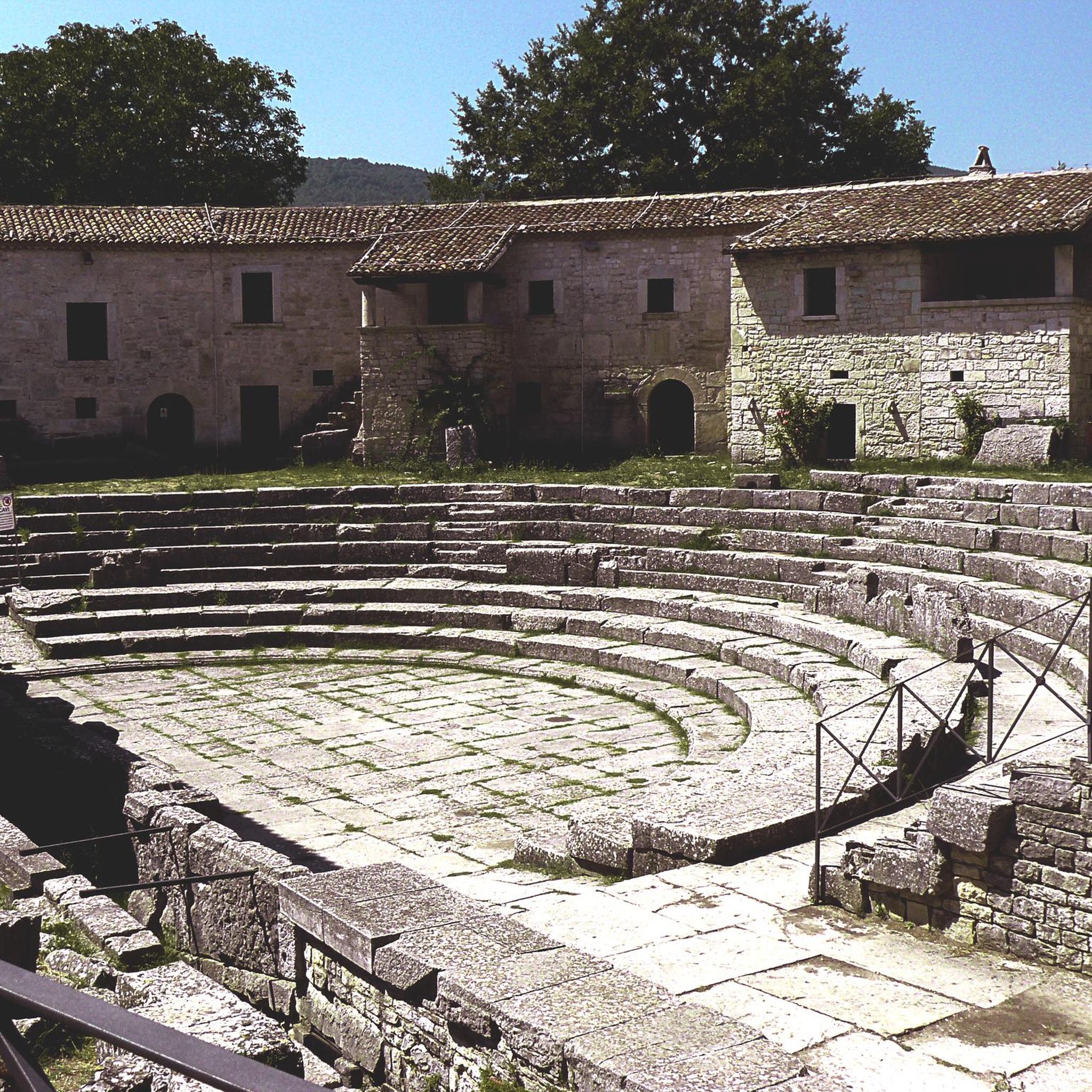
A beautiful archaeological area to visit. It was a pre-Roman settlement, first populated by Samnites and then in 293 BC by the Romans and was on the ancient road from Beneventum to Corfinium.
0
0

The dam dates back to 1980 and gives rise to a 7km square lake. The waters of the basin are used for irrigation and drinking purposes.
1
0
Located at over 900 meters above sea level, it is the highest municipality in Molise.
1
0
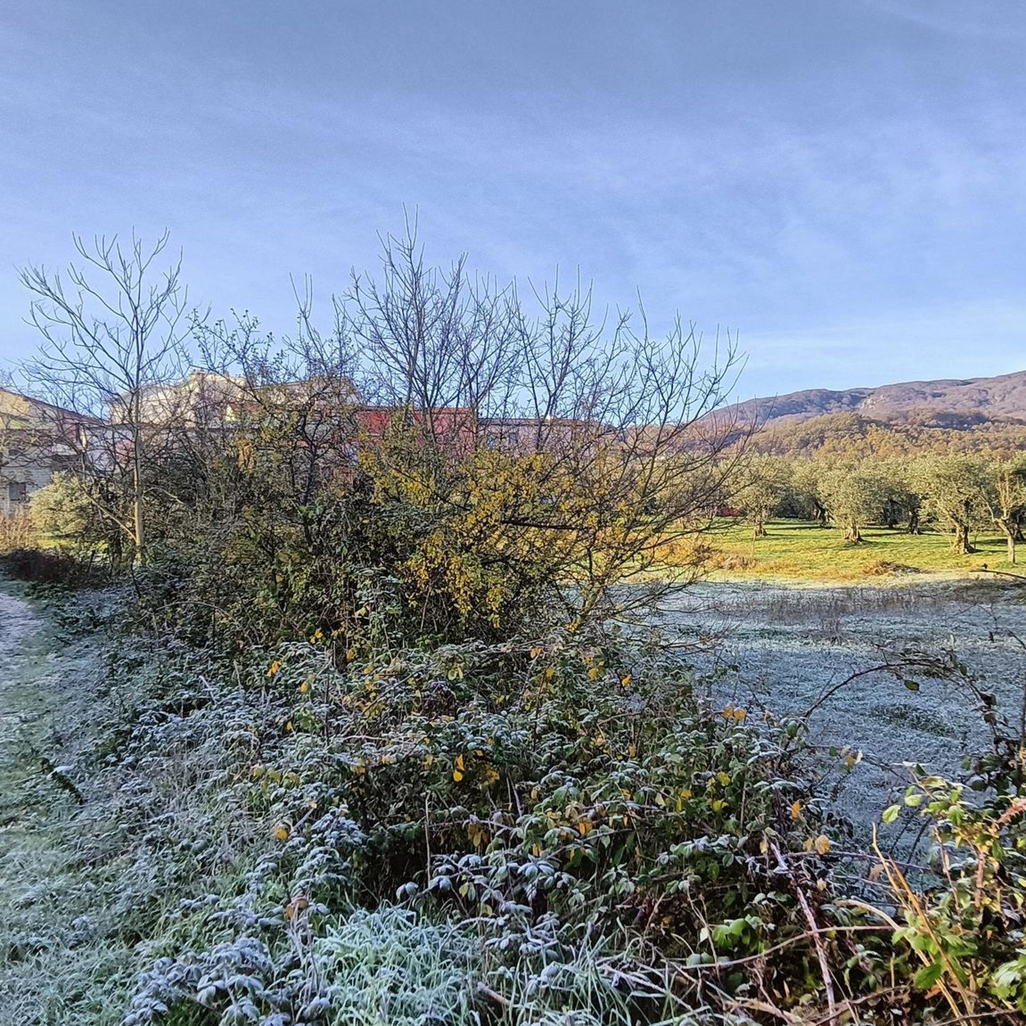
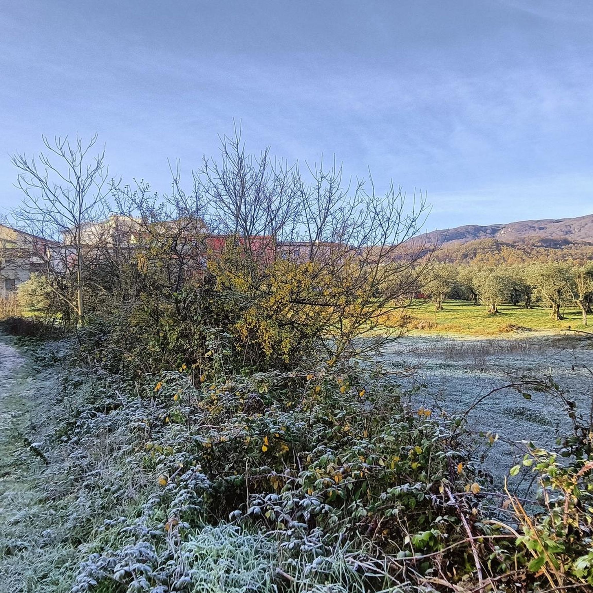
Hills and cultivated fields, the typical characteristic landscape of Molise. Gildone can be reached easily from Campobasso by tackling easy slopes.
0
0
A curious sign, marked by time, which reminds us of the existence of this small Italian region. Welcome!
1
0

Campolattaro Lake is an artificial lake that was formed with a dam on the Tammaro River. It is a WWF oasis, a Special Area of Conservation and a Special Protection Area due to its ecological importance and rich biodiversity.
1
0
Frequently Asked Questions
What is the overall difficulty level of road cycling routes around Sepino?
The road cycling routes around Sepino offer a varied challenge. There are 2 easy routes, 15 moderate routes, and 24 difficult routes, providing options for different fitness levels and experience.
Are there any long-distance road cycling routes in Sepino?
Yes, Sepino features several long-distance road cycling routes. For a significant challenge, consider the Campitello Matese Plateau – Morcone loop from Morcone, which spans 96 km with over 2000 meters of elevation gain. Another demanding option is the Morcone – Rio Grassano loop from Morcone, covering 74.6 km with over 1000 meters of climbing.
Are there any loop road cycling trails around Sepino?
Many road cycling routes in Sepino are designed as loops, allowing you to start and finish in the same location. Examples include the challenging Campitello Matese Plateau – Morcone loop from Morcone and the moderate Campolattaro – Morcone loop from Morcone.
What kind of terrain can I expect on road cycling routes in Sepino?
The region is characterized by varied elevations, including plateaus, river valleys, and rolling hills. You can expect a mix of challenging ascents and scenic descents, with many routes traversing rural areas and offering diverse terrain suitable for different fitness levels.
What are some notable natural attractions to see along road cycling routes in Sepino?
While cycling, you can explore several natural attractions. The Lavello Gorges offer dramatic scenery, and you might pass by Mount Mutria or the intriguing Fairy Cave. The The Three Brothers is another unique natural monument in the area.
Are there any cultural or historical landmarks near the road cycling routes?
Yes, you can encounter historical and cultural points of interest. For instance, the Chapel of Saint Anthony on Mount Mutria is a notable religious building that cyclists might pass. The region's rural landscape often features charming villages and historical structures.
What do other road cyclists say about the routes in Sepino?
The road cycling routes in Sepino are highly regarded by the komoot community, with an average rating of 4.4 stars from over 20 reviews. Nearly 300 road cyclists have used komoot to explore the area, often praising the varied terrain and scenic beauty.
Are there any beginner-friendly road cycling routes in Sepino?
While many routes are moderate to difficult, there are 2 easy road cycling routes available in Sepino. These are ideal for those new to road cycling or looking for a more relaxed ride. You can filter by difficulty on komoot to find these options.
What is the best time of year for road biking in Sepino?
Sepino's climate generally makes spring and autumn ideal for road cycling, offering pleasant temperatures and vibrant scenery. Summer can be warm, especially in lower elevations, while winter may present challenges with colder temperatures and potential for snow in higher areas like the Campitello Matese Plateau.
Are there any routes with significant viewpoints or scenic passes?
Absolutely. The region's varied topography means many routes offer stunning vistas. The La Casella Pass is a notable mountain pass that provides panoramic views. Routes like the View of Guardiaregia – Ponte del Diavolo (Arcichiaro) loop from Guardiaregia are specifically designed to showcase scenic points.
How many road cycling routes are available in the Sepino area?
There are over 40 road cycling routes available around Sepino, offering a wide range of distances and difficulty levels to suit various preferences and abilities.
Are there any moderate road cycling routes suitable for intermediate cyclists?
Yes, Sepino offers 15 moderate road cycling routes perfect for intermediate cyclists. An example is the Morcone – Guardia Sanframondi loop from Morcone, a 64.1 km trail through rolling hills and rural scenery.
Most popular attractions around Sepino

Get inspired with the komoot mobile app


Explore more
Browse the best Road cycling routes in other regions.
