The best walks and hikes around Ponte
4.4
(63)
214
hikers
20
hikes
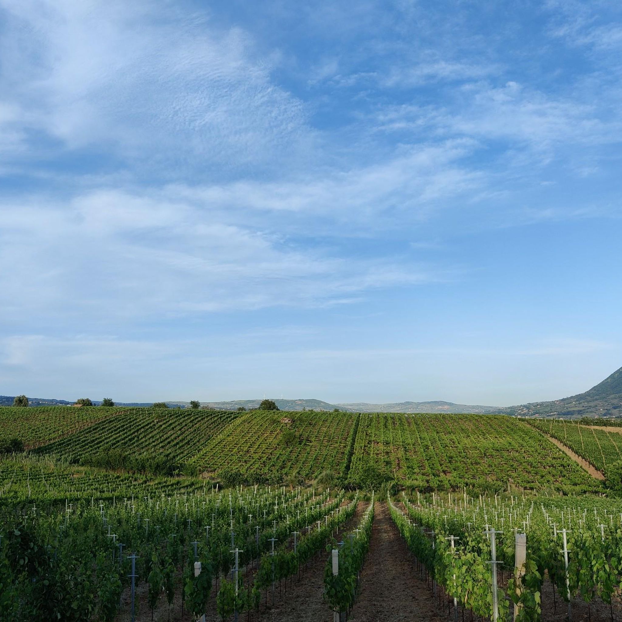
Hiking around Ponte reveals a landscape characterized by rolling hills and valleys, often covered in dense woodlands. The region's terrain includes notable elevations, offering varied gradients for hikers. This area provides a network of trails that traverse natural environments, featuring both open vistas and shaded paths. The diverse topography supports a range of hiking experiences, from moderate ascents to longer, undulating routes.
Best hiking trails around Ponte
- The most popular hiking route is From Vitulano to Monte Pendime – ring…
Last updated: November 1, 2026
4.5
(10)
39
hikers
17.2km
04:49
200m
500m
Moderate hike. Good fitness required. Easily walkable paths.
3.1
(7)
32
hikers
10.5km
03:47
630m
620m
Moderate hike. Good fitness required. Easily walkable paths.

12.1km
03:43
410m
410m
Moderate hike. Good fitness required. Easily walkable paths.
3.8
(5)
13
hikers
7.23km
02:13
240m
250m
Moderate hike. Good fitness required. Easily walkable paths.
3.8
(4)
9
hikers
6.80km
02:27
400m
400m
Moderate hike. Good fitness required. Easily walkable paths.
Get access to more routes and recommendations from other explorers.
Already have an account?
Our route recommendations are based on thousands of hikes, rides, and runs completed by other people on komoot.
Start today with a free account
Your next adventure awaits.


Tips from the Community

A regional park located on the Taburno Camposauro massif in the province of Benevento. A destination much appreciated by hikers and cyclists for the beauty of its beech woods and the views of the plain below.
1
0

This is the heart of the Taburno Camposauro Regional Park, just below the summit of Monte Camposauro which can be reached by a gravel road turning off at the Chapel of Santa Barbara. There is a fountain and some picnic tables.
1
0

This regional park was established in 2002 and is located in the province of Benevento. It takes its name from the two highest peaks: the Taburno mountains (1,394 m) and Camposauro (1,388 m). Inside the protected area, vast open spaces alternate with thick woods, especially beech woods.
1
0

Pizzo dei Favi is located within the Taburno Regional Park, at a height of 1187 metres. The closest refuge is the Vitulano refuge. From here it is possible to enjoy a 360 degree panoramic view, and you can see Monte Miletto, Monte Rosa, Monte Altorotondi and many other peaks around.
1
0
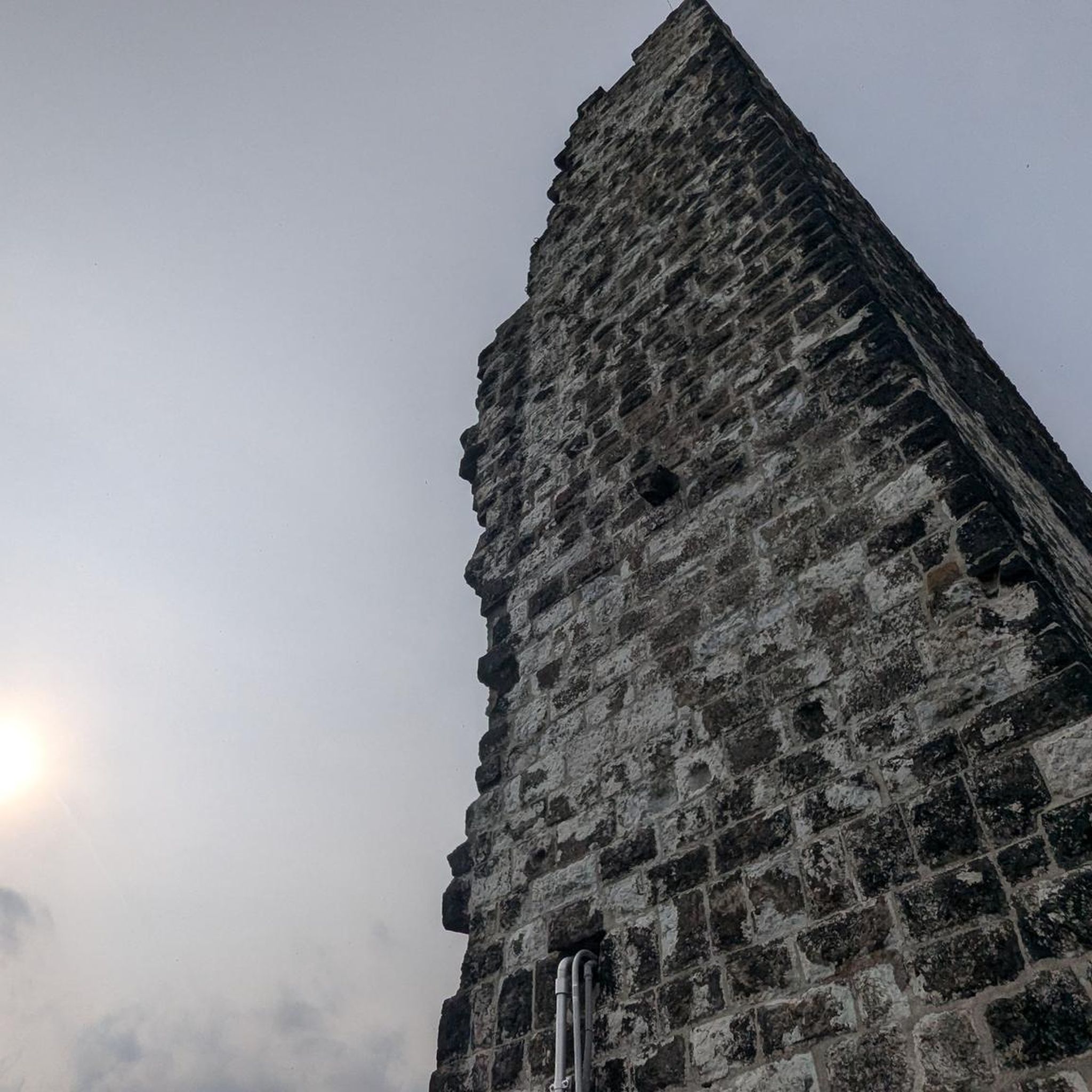
The hermitage of San Menna (7th century) is located opposite the Ducal Castle. What we know about the hermitage comes from St. Gregory the Great, a hermit who followed a life of meditation and penance.
1
0
Mount Pentime offers a breathtaking view. It is located at 1168 meters high. There is a metal cross. Very impressive especially at dawn.
2
0
Pizzo del Tesoro is about 1176 meters high, and is located on the ridge that leads to Monte Pentime.
3
0
From here it is possible to enjoy a beautiful panoramic view towards Cerreto Sannita and La Pizzuta.
1
0
Frequently Asked Questions
How many hiking trails are available around Ponte?
There are over 10 hiking routes available around Ponte, offering a variety of experiences for different skill levels. The region features a network of trails that traverse natural environments, from moderate ascents to longer, undulating routes.
What kind of terrain can I expect when hiking in Ponte?
Hiking around Ponte reveals a landscape characterized by rolling hills and valleys, often covered in dense woodlands. The region's terrain includes notable elevations, offering varied gradients for hikers. You'll find both open vistas and shaded paths, typical of the picturesque Alpine rivers and lush greenery found in areas like Bassano del Grappa in Italy.
What do other hikers say about the trails in Ponte?
The hiking routes in Ponte are highly rated by the komoot community, with an average score of 4.1 stars from over 30 reviews. More than 100 hikers have used komoot to explore Ponte's varied terrain, often praising the diverse topography and the range of experiences available.
Are there easy hiking options for beginners in Ponte?
Yes, Ponte offers several easy hiking options suitable for beginners. Out of the 13 available routes, 3 are classified as easy, providing accessible paths through the region's natural beauty without significant challenges. These trails are perfect for those looking for a leisurely stroll.
Are there any circular hiking routes in Ponte?
Yes, you can find several circular hiking routes in Ponte. For example, the From Vitulano to Monte Pendime – ring tour is a popular option. Another great choice is the Fountain of the Trinity – Pizzo dei Favi loop from Rifugio Vitulano, which leads through hilly terrain.
Are there any notable natural landmarks or attractions to see while hiking in Ponte?
While hiking in Ponte, you can explore several natural landmarks. The region is home to various mountain peaks, such as Monte Pentime Summit Cross, Pizzo del Tesoro, and Pizzo dei Favi. Additionally, there are beautiful lakes like Lake Telese and Lake Campolattaro - WWF Oasis, which offer serene spots to visit.
Are there any mountain peaks I can hike to in the Ponte area?
Yes, the Ponte area offers opportunities to hike to several mountain peaks. Notable summits include Monte Pentime Summit Cross, Monte Camposauro, and Pizzo Alto. These peaks provide elevated viewpoints and challenging ascents for hikers.
Are there any lakes near Ponte that I can visit during a hike?
Absolutely. The region around Ponte features several picturesque lakes. You can visit Lake Telese, Lake Campolattaro - WWF Oasis, and Laghetto della Serra del Campo. These lakes offer tranquil settings and opportunities for nature observation.
What is the best time of year to go hiking in Ponte?
The best time to go hiking in Ponte, particularly given its Italian context, is typically during the spring (April to June) and autumn (September to October). During these seasons, the weather is generally mild and pleasant, with comfortable temperatures for outdoor activities. The landscapes are also vibrant with spring blooms or rich autumn colors.
Are the hiking trails in Ponte dog-friendly?
Many hiking trails in natural areas like Ponte are generally dog-friendly, especially if your dog is well-behaved and kept on a leash. It's always recommended to check specific trail regulations or local signage, but the rolling hills and woodlands of Ponte offer ample space for you and your canine companion to enjoy the outdoors.
Where can I find parking for the hiking trails in Ponte?
Parking availability for hiking trails in Ponte can vary. Many trailheads, especially those near villages or popular starting points like Vitulano or San Lupo, often have designated parking areas. It's advisable to check the specific tour details on komoot or local signage for the most accurate parking information before you set out.
Are there opportunities for wild swimming near Ponte?
While the guide data doesn't explicitly mention wild swimming spots, the presence of lakes like Lake Telese and Lake Campolattaro - WWF Oasis suggests potential opportunities. Always exercise caution, check local regulations, and prioritize safety if considering swimming in natural bodies of water.
Are there any longer hiking routes for experienced hikers in Ponte?
Yes, for experienced hikers looking for longer routes, Ponte offers several options. The Leonessa from San Lupo Trail is a moderate 7.5 miles (12.1 km) path, and the Fountain of the Trinity loop from Altaquota spans 7.8 miles (12.6 km), both providing extended journeys through the region's natural landscapes.
Most popular attractions around Ponte

Get inspired with the komoot mobile app


Explore more
Browse the best Hikes in other regions.
