The best walks and hikes around Schottwien
4.6
(1066)
6,035
hikers
33
hikes
Hiking around Schottwien offers diverse trails through mountainous landscapes, dense forests, and green meadows. The region is situated between the Gutenstein Alps and the Semmering region, featuring prominent peaks such as Sonnwendstein and Eselstein. Schottwien is also embedded in a gorge, adding to its geological characteristics. The area provides access to the Rax region and views of Schneeberg, Lower Austria's highest mountain.
Best hiking trails around Schottwien
- The most popular hiking route is Sonnwendstein Summit Viewpoint – Erzkogel Summit Cross…
Last updated: October 7, 2026
4.7
(48)
190
hikers
12.1km
04:55
740m
740m
Moderate hike. Good fitness required. Mostly accessible paths. Sure-footedness required.
4.7
(68)
364
hikers
9.11km
04:24
720m
720m
Moderate hike. Good fitness required. Mostly accessible paths. Sure-footedness required.

5.0
(14)
93
hikers
7.82km
04:04
720m
720m
Moderate hike. Good fitness required. Mostly accessible paths. Sure-footedness required.
4.7
(219)
1,058
hikers
20.1km
06:43
910m
910m
Hard hike. Very good fitness required. Mostly accessible paths. Sure-footedness required.
4.6
(8)
50
hikers
14.0km
04:48
770m
770m
Moderate hike. Good fitness required. Mostly accessible paths. Sure-footedness required.
Get access to more routes and recommendations from other explorers.
Already have an account?
Our route recommendations are based on thousands of hikes, rides, and runs completed by other people on komoot.
Start today with a free account
Your next adventure awaits.
Tips from the Community

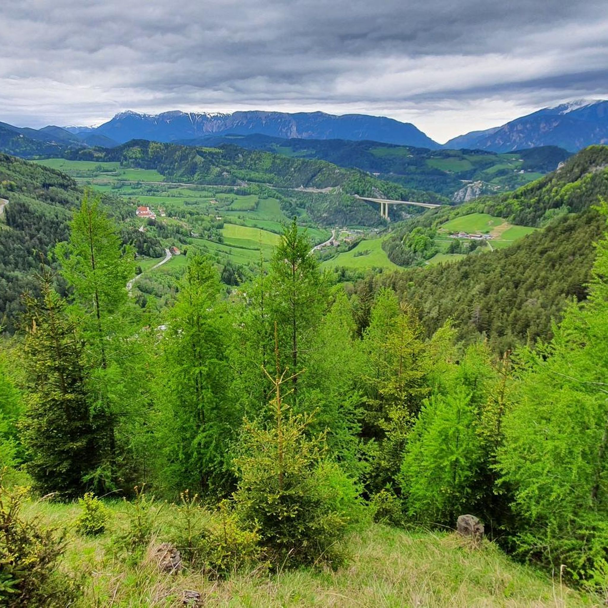
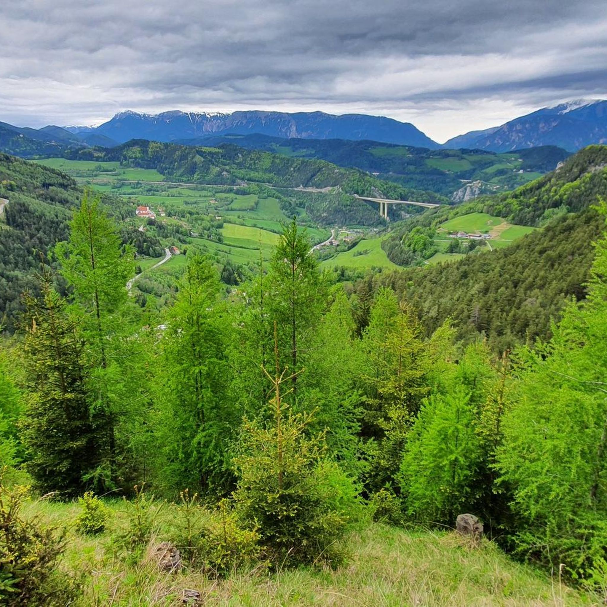
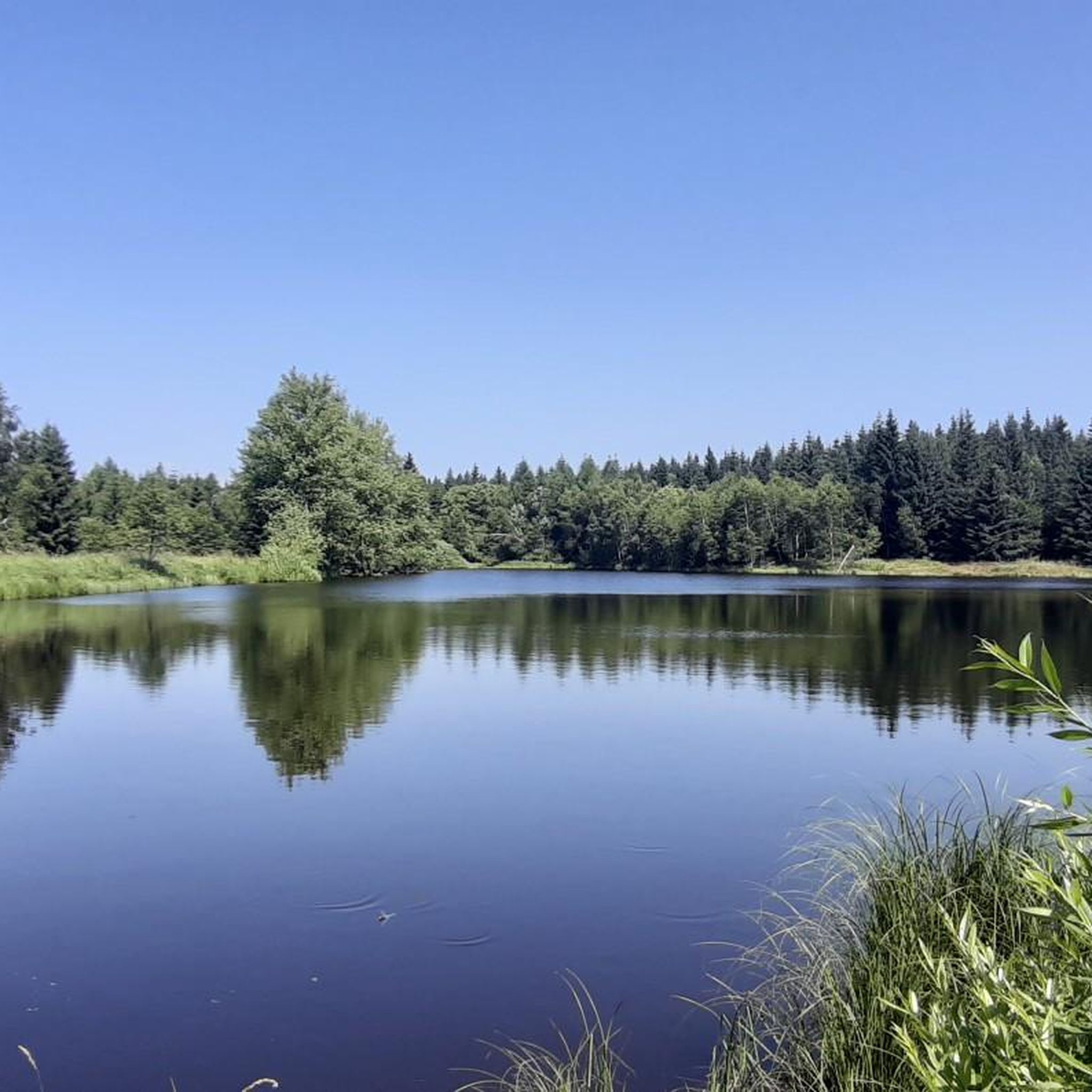
Seldom-used trail to the Sonnwendstein. Here you are also acoustically shielded from the noise of the expressway... (Caution, a variant running somewhat further southwest is good at the bottom but no longer passable at the top. I have reported the path - as of August 2026. Maybe it will be removed from navigation...)
1
0
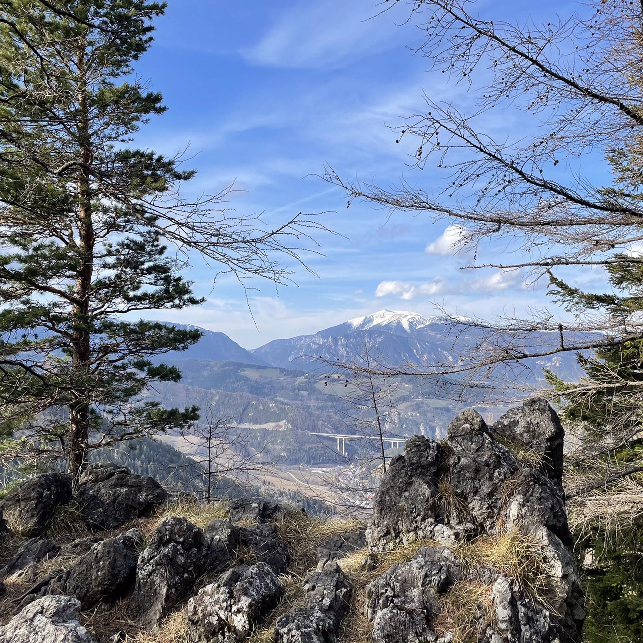
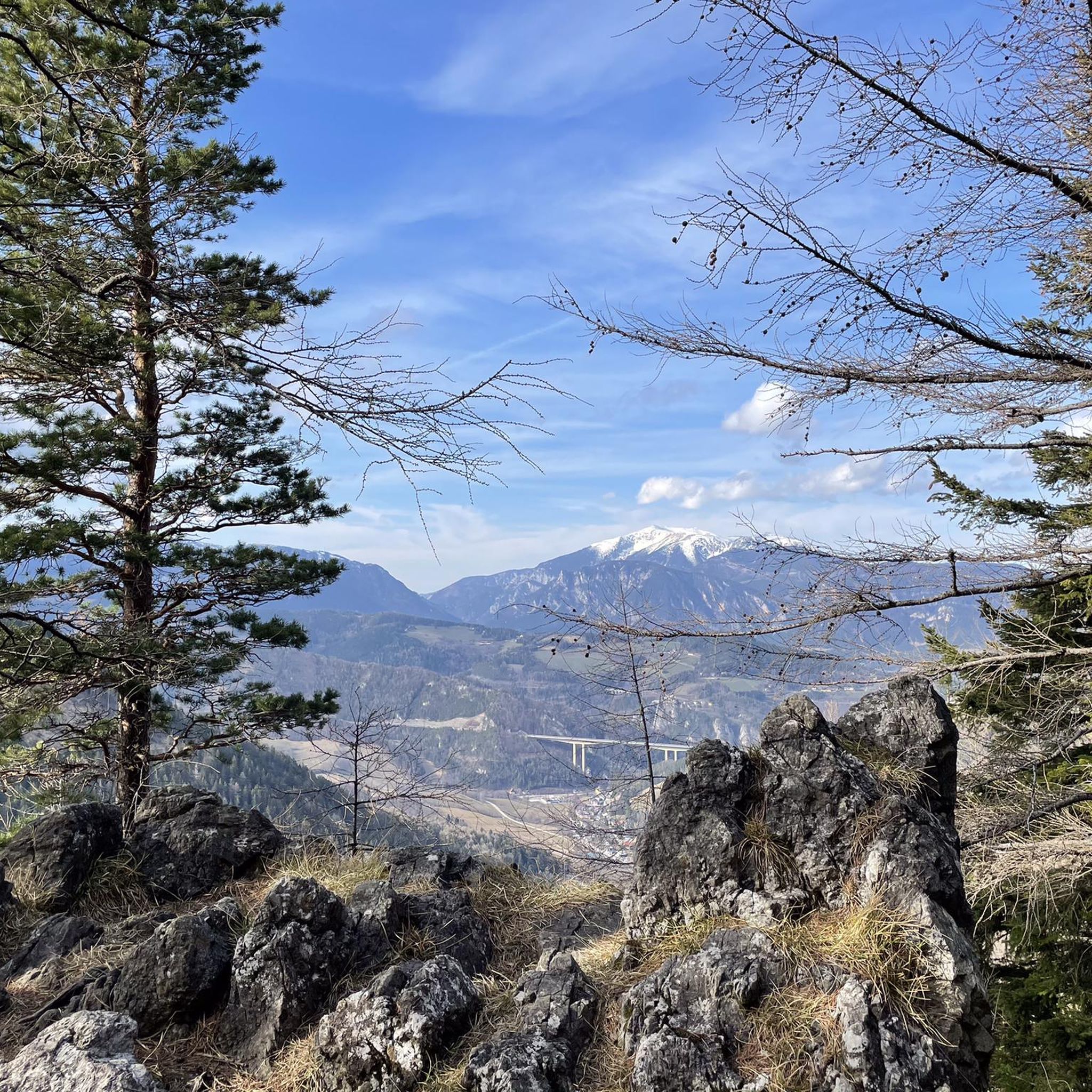
The few meters further up from the Pollereshütte are definitely worth it. The view is much better here.
0
0

Don't call it a prettier garden gnome. This is a fully grown root Sepp :D
0
0
Beautiful, marked and signposted path!
0
0

Very good, hearty, regional cuisine with extremely friendly staff. The inn is traditionally furnished, which gives it a characteristic charm. The Kummerbauerstadl is one of the few still operating inns in the region that you can visit with a clear conscience.
1
0

Great view of the Great Otter
3
0

Come here for a little walk and then go out for dinner
0
0
Frequently Asked Questions
How many hiking trails are there in Schottwien?
Schottwien offers a wide variety of hiking experiences with over 30 trails available. These routes cater to different skill levels, ranging from easy strolls to challenging summit ascents through the region's mountainous terrain and dense forests.
What kind of terrain can I expect on hikes around Schottwien?
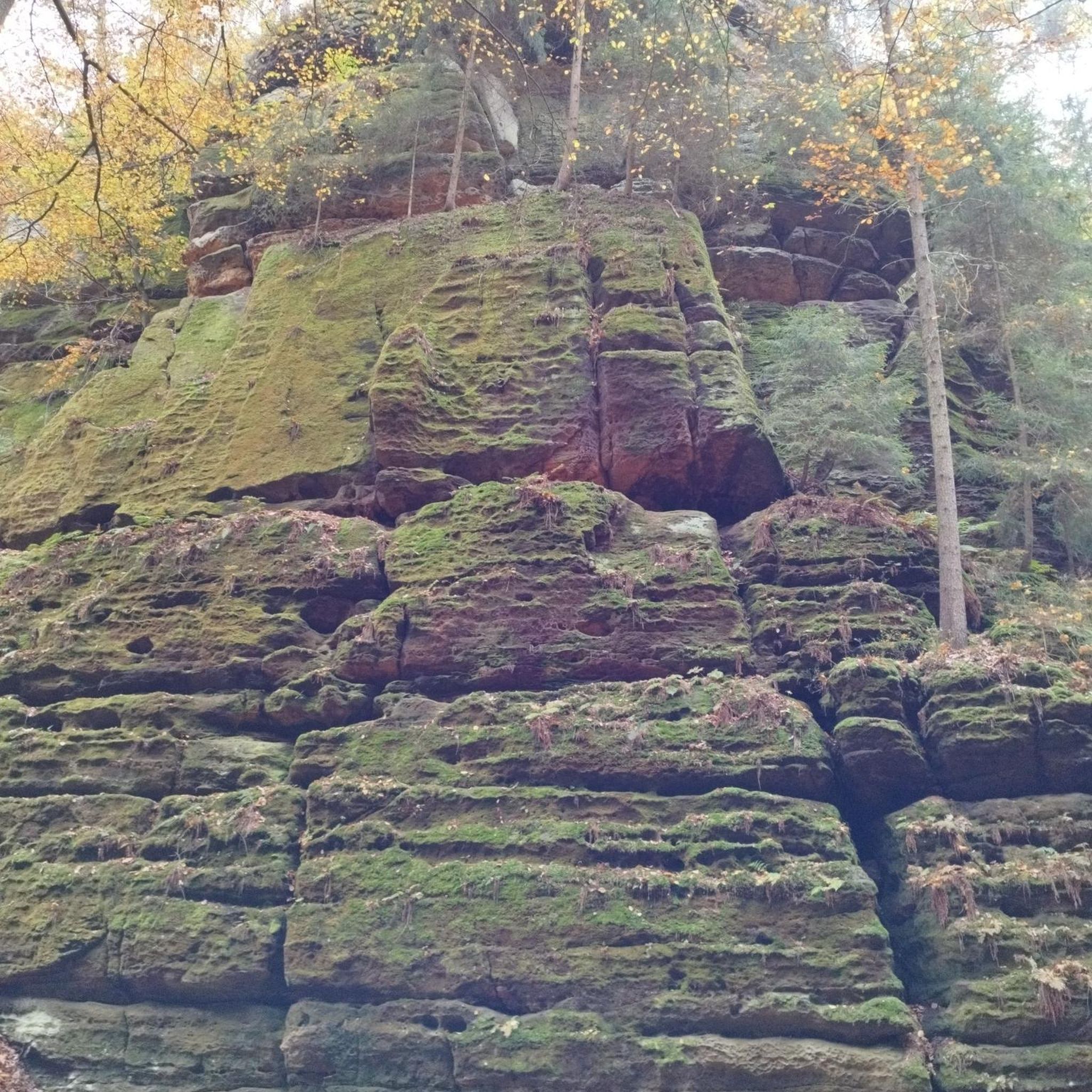
The hiking terrain around Schottwien is notably diverse, characterized by dramatic mountainous landscapes, deep gorges, and extensive forests. You'll encounter steep limestone walls, rugged rocks, and broad ridges, especially as the region sits at the border between the Central and Limestone Alps. Trails often lead through lush forests, offering shaded paths and varied ground underfoot.
Are there any family-friendly hiking options in Schottwien?
While many trails in Schottwien involve significant elevation, there are options suitable for families. Look for routes categorized as 'easy' or 'moderate' on komoot, which typically feature less strenuous ascents and shorter distances. These often wind through the region's beautiful forests and offer a chance to enjoy nature without overly challenging terrain.
Can I bring my dog on the hiking trails in Schottwien?
Generally, dogs are welcome on hiking trails in Schottwien. However, it's always advisable to keep your dog on a leash, especially in forested areas, near livestock, or on popular paths. Be mindful of local regulations and ensure your dog is well-behaved and doesn't disturb wildlife or other hikers.
What are some notable viewpoints or natural features to look out for?
Schottwien is rich in stunning viewpoints and natural features. The Sonnwendstein summit offers magnificent panoramic views over the Vienna Basin and the Semmering-Rax-Schneeberg region. Another excellent vantage point is the Eselstein. You can also explore the dramatic Luckerte Wand Rock Formation and Viewpoint. The Adlitzgraben Gorge is another significant natural feature worth exploring.
Are there any circular hiking routes in the area?
Yes, Schottwien offers several excellent circular hiking routes. For a moderate challenge with scenic vistas, consider the Sonnwendstein Summit Viewpoint – Pollereshütte loop from Schottwien, which is about 9 km long. Another popular option is the Pollereshütte – Sonnwendstein Summit Viewpoint loop from Schottwien, covering 7.8 km through varied terrain.
What is the best time of year to go hiking in Schottwien?
The best time for hiking in Schottwien is typically from spring to fall, when the weather is mild and the trails are clear. The lush forests are particularly beautiful in spring and autumn. While winter offers opportunities for ski tours, many hiking trails may be covered in snow or ice, requiring appropriate gear and experience.
Are there places to eat or rest along the trails?
Yes, you'll find huts and alpine inns in the vicinity where you can stop for refreshments or a meal. For example, the Pottschacher Hut and the Speckbacher Hut on Kreuzberg are popular spots. The Kummerbauerstadl Alpine Inn – Großer Otter Summit loop from Schottwien even starts near an alpine inn, providing a convenient stop.
What historical or cultural sites can I visit while hiking?
Schottwien is rich in history. The historic Semmering Railway, a UNESCO World Heritage site, runs through the region, offering routes that combine natural beauty with cultural heritage. You can also visit the Maria Schutz Pilgrimage Site, which features a Baroque pilgrimage church and a 'Holy Well' believed to have healing powers. The Gaiskirchlein Cave Chapel is another unique historical and religious site.
What do other hikers enjoy most about hiking in Schottwien?
The komoot community highly rates hiking in Schottwien, with an average score of 4.6 stars from over 800 reviews. Hikers frequently praise the diverse mountainous terrain, the expansive views from prominent peaks like Sonnwendstein, and the well-maintained trails that lead through dense forests and picturesque gorges. The variety of routes, from moderate ascents to more difficult summit challenges, is also a highlight.
Is parking available at the trailheads in Schottwien?
Yes, parking facilities are generally available near the starting points of many hiking trails in Schottwien. Specific parking information can often be found in the route descriptions on komoot, helping you plan your arrival and access to the trailheads.
Can I reach hiking trails in Schottwien using public transport?
Schottwien is accessible by public transport, making it possible to reach various trailheads without a car. The region's infrastructure supports access to hiking routes, and checking local bus or train schedules to Schottwien will help you plan your journey to the starting points of your chosen hikes.
Most popular routes around Schottwien
Most popular attractions around Schottwien

Get inspired with the komoot mobile app


Explore more
Browse the best Hikes in other regions.
