The best walks and hikes around Castelvenere
4.5
(96)
308
hikers
34
hikes
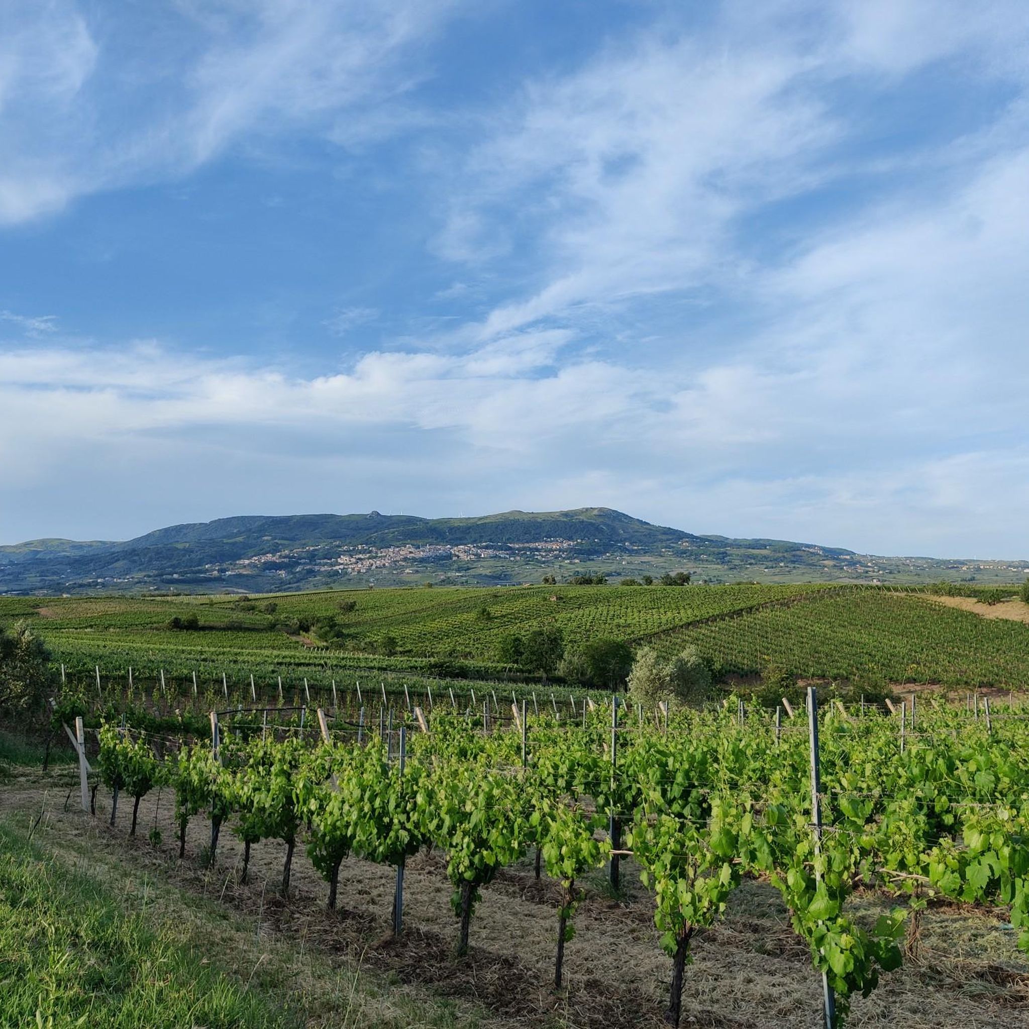
Hiking around Castelvenere provides access to a landscape characterized by rolling hills and extensive vineyards, particularly Falanghina, situated along ancient terraces and the flanks of the Calore River valley. The region is part of the broader Province of Benevento, which includes the Parco Regionale del Taburno-Camposauro, showcasing southern Apennine rock formations. Hikers can explore river-carved gorges and varied terrain within this natural setting.
Best hiking trails around Castelvenere
- The most popular hiking route is Grotta delle fate – ring tour…
Last updated: May 12, 2026
4.8
(4)
12
hikers
6.37km
01:53
180m
180m
Easy hike. Great for any fitness level. Easily-accessible paths. Suitable for all skill levels.
1
hikers
8.44km
03:05
520m
520m
Moderate hike. Good fitness required. Easily-accessible paths. Suitable for all skill levels.

Sign up for free
4.5
(6)
23
hikers
12.5km
03:36
310m
310m
Moderate hike. Good fitness required. Easily-accessible paths. Suitable for all skill levels.
3.7
(3)
7
hikers
Hard hike. Very good fitness required. Easily-accessible paths. Suitable for all skill levels.
5.0
(3)
8
hikers
3.68km
01:03
80m
80m
Easy hike. Great for any fitness level. Easily-accessible paths. Suitable for all skill levels.
Get access to more routes and recommendations from other explorers.
Sign up for free
Already have an account?
Our route recommendations are based on thousands of hikes, rides, and runs completed by other people on komoot.
Start today with a free account
Your next adventure awaits.
Login or Signup

Tips from the Community


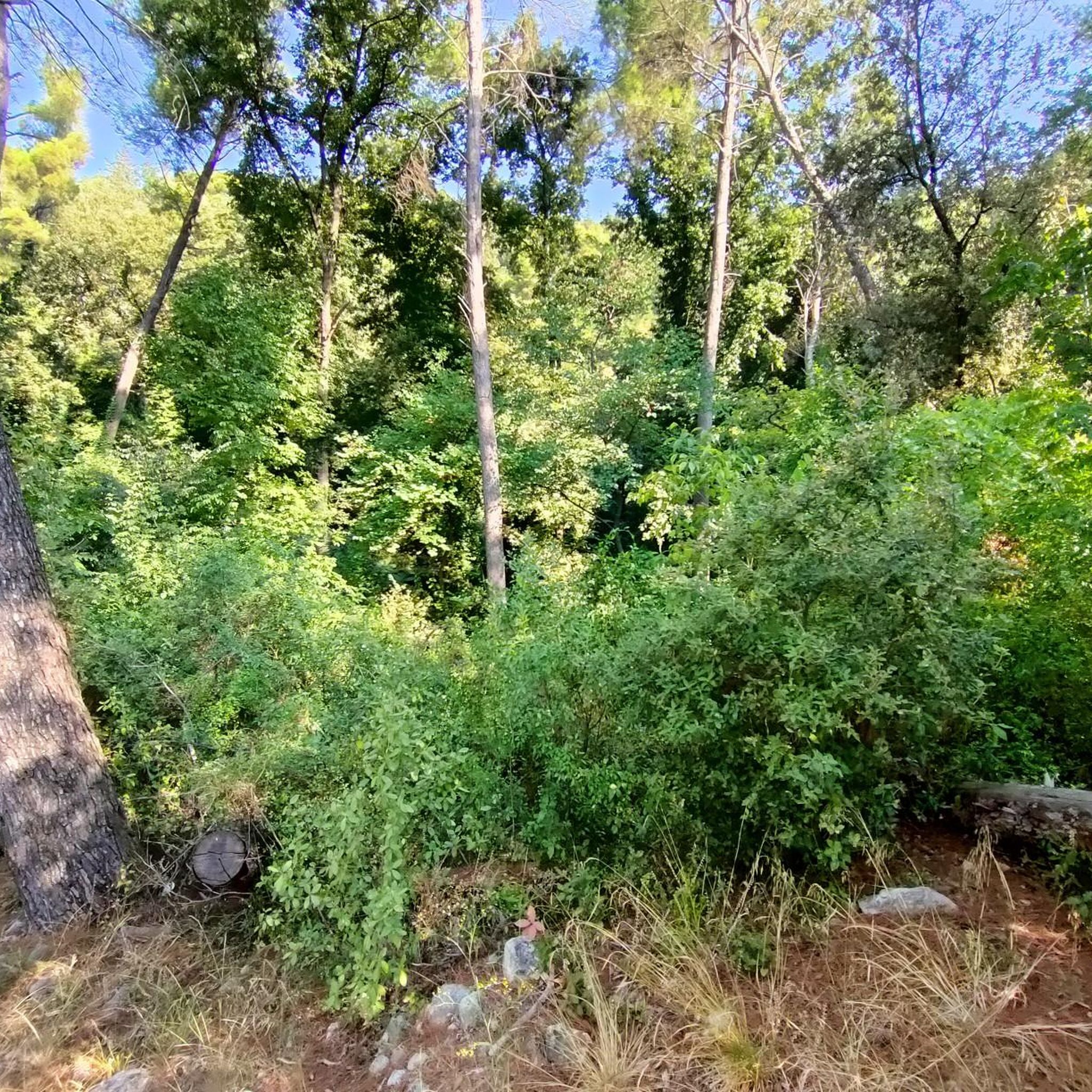
a small clearing, located before the path that leads to the hermitage of San Michele, with some picnic tables
0
0
a large clearing in the middle of the woods, with a few picnic tables
0
0

The sanctuary of Archangel Michael "San MICHELE Arcangelico" mentioned by Nature of Sal can be accessed as a hiking highlight on komoot under the following link: https://www.komoot.de/highlight/5518102
0
0

Hermitage set in the rock which is just over a thousand meters above sea level. An ancient place probably dating back to the Lombard era.
2
0
A regional park located on the Taburno Camposauro massif in the province of Benevento. A destination much appreciated by hikers and cyclists for the beauty of its beech woods and the views of the plain below.
1
0

This is the heart of the Taburno Camposauro Regional Park, just below the summit of Monte Camposauro which can be reached by a gravel road turning off at the Chapel of Santa Barbara. There is a fountain and some picnic tables.
1
0

An interesting route immersed in nature among deep sinkholes of karst origin.
1
1
Frequently Asked Questions
How many hiking trails are available around Castelvenere?
There are over 30 hiking routes available around Castelvenere. These include a diverse range of options, with 15 easy trails perfect for a relaxed stroll, 15 moderate routes for those seeking a bit more challenge, and 2 difficult trails for experienced hikers.
What kind of terrain can I expect when hiking near Castelvenere?
The terrain around Castelvenere is characterized by picturesque rolling hills and extensive vineyards, particularly Falanghina, situated along ancient terraces and the flanks of the Calore River valley. You'll also find river-carved gorges, such as those explored on the Forre di Lavello Loop Trail, and the distinctive rock formations of the southern Apennine chain within the nearby Parco Regionale del Taburno-Camposauro.
Are there any circular hiking routes in the Castelvenere area?
Yes, several circular routes are available. For an easy option, consider the Grotta delle fate – ring tour – Parco Regionale del Matese, which is just under 5 km. Another popular choice is the moderate Forre di Lavello Loop Trail, offering varied terrain through river-carved gorges.
What do other hikers say about the trails in Castelvenere?
The hiking routes around Castelvenere are highly rated by the komoot community, with an average score of 4.3 stars from over 90 reviews. Nearly 300 hikers have used komoot to explore the varied terrain, often praising the scenic vineyards, river valleys, and the natural beauty of the regional parks.
Are there any family-friendly hiking options around Castelvenere?
Yes, there are several easy trails suitable for families. The From Telese Terme to the dolines of Grassano Park - loop tour is an easy 6.4 km trail that takes you through the natural features of Grassano Park, making it a great choice for a family outing. The Grotta delle fate – ring tour is another easy option within the Matese Regional Park.
What natural attractions or landmarks can I see while hiking near Castelvenere?
Hikers can discover a variety of natural attractions and landmarks. You might encounter the dramatic Lavello Gorges, explore the serene Lake Telese, or enjoy the expansive views from summits like Monte Pentime Summit Cross or Pizzo del Tesoro. The region also features the Taburno Camposauro Regional Park, known for its distinctive rock formations.
Are there any historical or cultural points of interest along the trails?
Beyond natural beauty, the region offers historical insights. Castelvenere is located near the Via Francigena Sud (VFS), an ancient pilgrimage route, offering a historical dimension to walks. You can also visit the Ducal Castle of Castelpagano or the Hermitage of San Menna, which are notable landmarks in the broader area.
Are there any trails that feature gorges or river valleys?
Absolutely. The area is known for its river-carved gorges. The Forre di Lavello Loop Trail specifically explores the impressive gorges of Lavello. Another option is the Lavello Gorges – Ponte del Mulino loop from Cerreto Sannita, which also takes you through this scenic area.
What is the best season to go hiking around Castelvenere?
The region's mild climate generally makes spring and autumn ideal for hiking, when temperatures are pleasant and the landscape is vibrant with blooming flowers or rich autumn colors. Summer can be warm, but early mornings or late afternoons are still suitable. Winter offers a different, quieter experience, especially in the lower hills and valleys.
Are there any longer, more challenging hikes for experienced trekkers?
While many trails are easy to moderate, the region does offer more challenging options. For instance, the Monte Acero Loop from Massa is a moderate 8.4 km route with significant elevation gain, providing a more strenuous experience. The broader Province of Benevento, including the Parco Regionale del Taburno-Camposauro, also features mountain peaks like Monte Mutria for those seeking difficult ascents.
Can I find trails that pass through vineyards or offer views of the wine landscape?
Yes, the area around Castelvenere is famous for its 'wine landscapes.' Many trails will take you through or offer views of the extensive vineyards, particularly those cultivating Falanghina grapes, situated on ancient terraces and along the Calore River valley. These routes provide a unique blend of natural beauty and cultural significance.
Most popular attractions around Castelvenere

Get inspired with the komoot mobile app


Explore more
Browse the best Hikes in other regions.
