The best walks and hikes around Schöppenstedt
4.7
(252)
897
hikers
82
hikes
Hiking trails around Schöppenstedt traverse a diverse landscape featuring forests and hills, predominantly within the Naturpark Elm-Lappwald. This region, part of Niedersachsen, provides a mix of wooded and hilly terrain. Hikers can expect to find trails that cater to various fitness levels, from easy walks to more demanding treks. The area is known for its natural beauty and offers opportunities to observe wildlife.
Best hiking trails around Schöppenstedt
- The most popular hiking route is Tetzelstein – Hagen Monument at the…
Last updated: June 26, 2026
4.8
(21)
59
hikers
21.5km
05:47
260m
260m
Hard hike. Very good fitness required. Easily-accessible paths. Suitable for all skill levels.
4.9
(9)
41
hikers
12.2km
03:16
150m
140m
Moderate hike. Good fitness required. Easily-accessible paths. Suitable for all skill levels.

Sign up for free
4.7
(9)
23
hikers
6.62km
01:47
80m
80m
Easy hike. Great for any fitness level. Easily-accessible paths. Suitable for all skill levels.
4.7
(7)
29
hikers
5.62km
01:30
60m
60m
Easy hike. Great for any fitness level. Easily-accessible paths. Suitable for all skill levels.
4.5
(13)
44
hikers
Moderate hike. Good fitness required. Easily-accessible paths. Suitable for all skill levels.
Get access to more routes and recommendations from other explorers.
Sign up for free
Already have an account?
Our route recommendations are based on thousands of hikes, rides, and runs completed by other people on komoot.
Start today with a free account
Your next adventure awaits.
Login or Signup
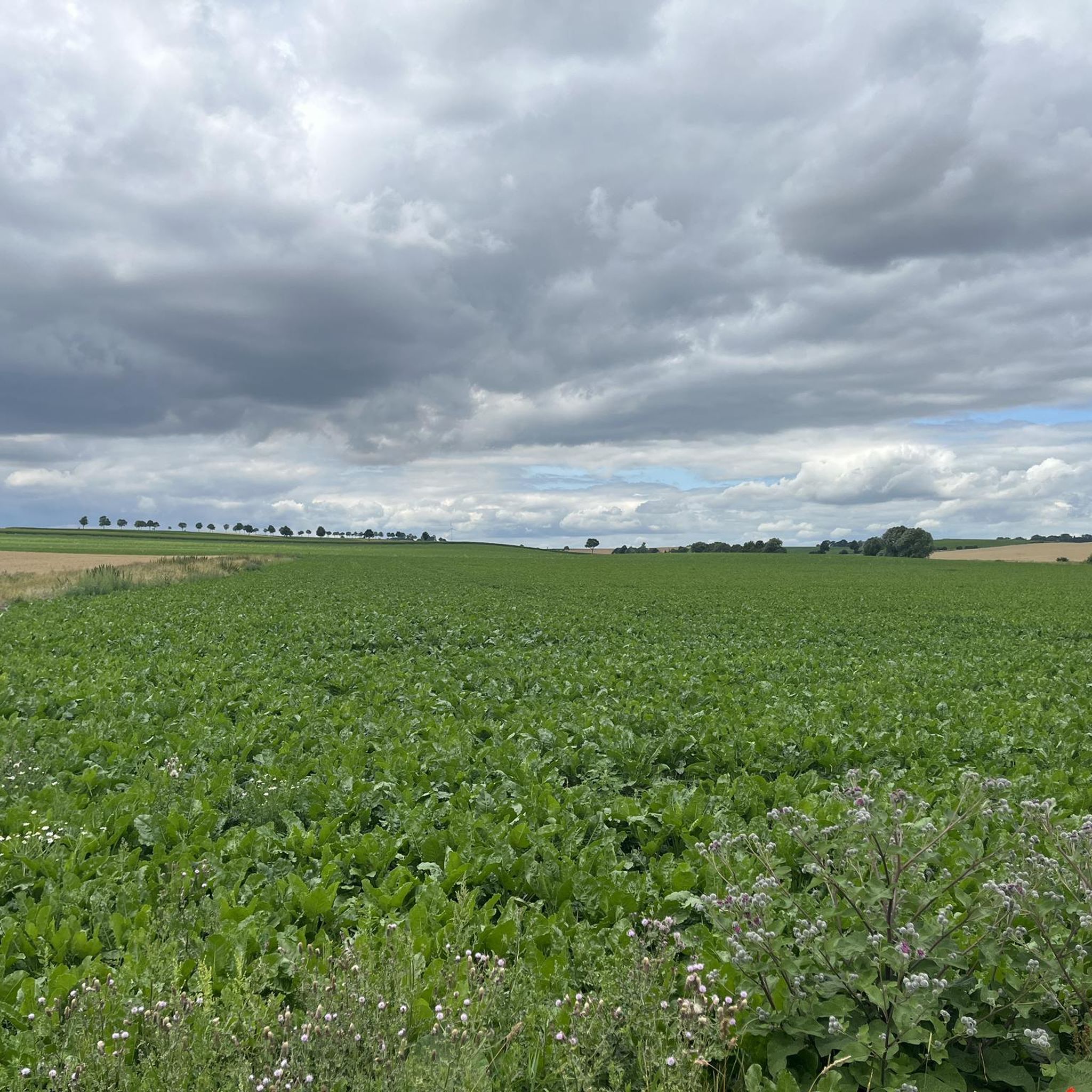
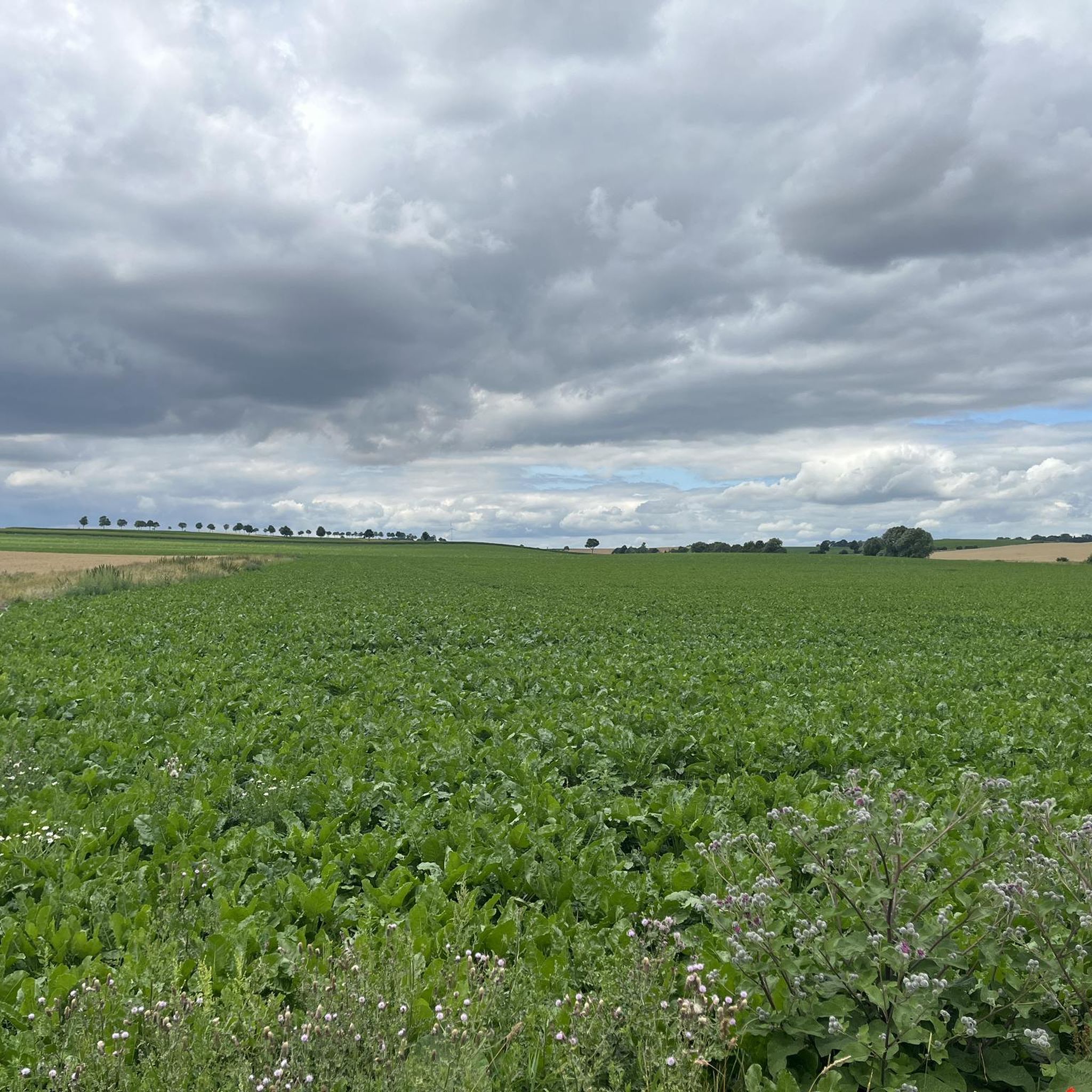
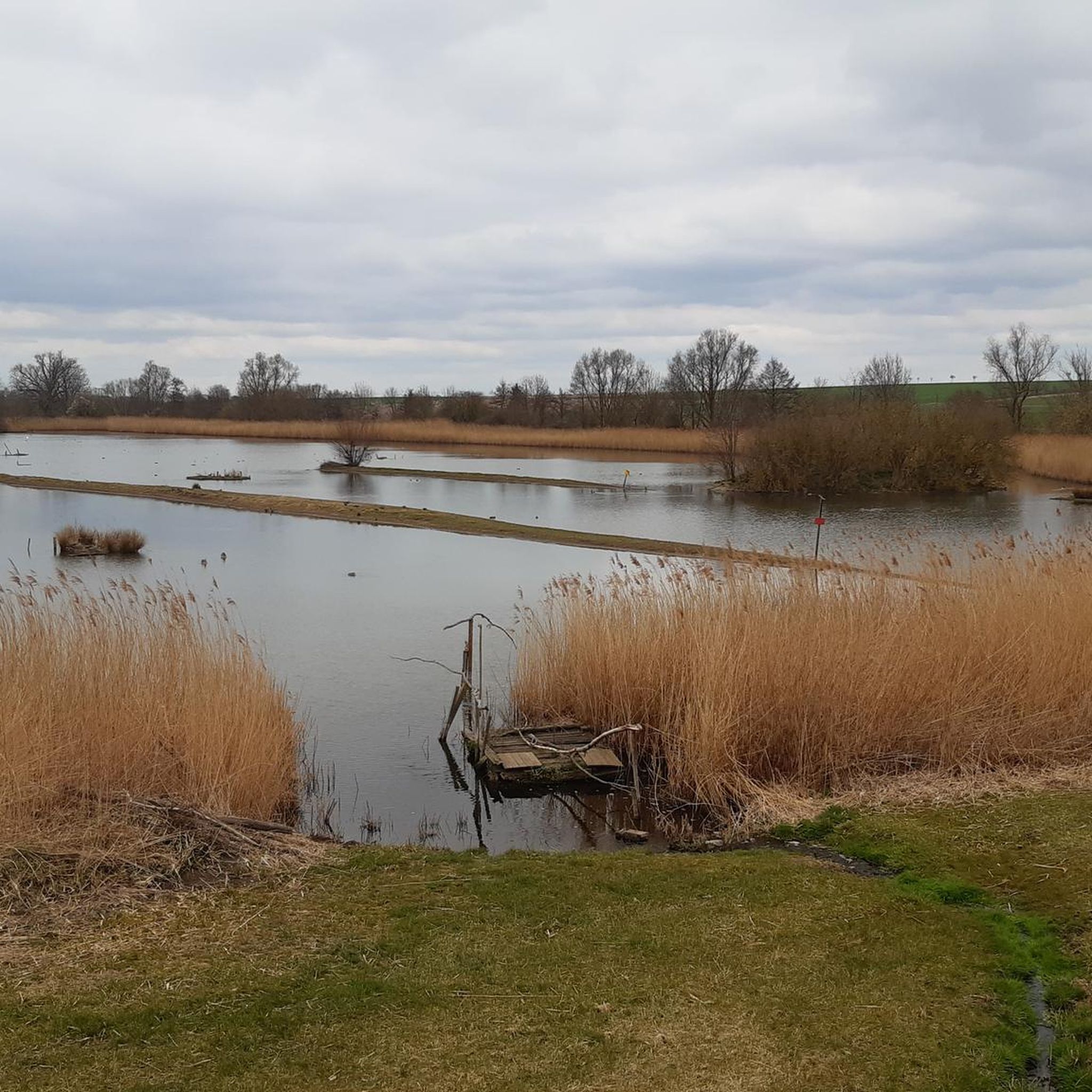
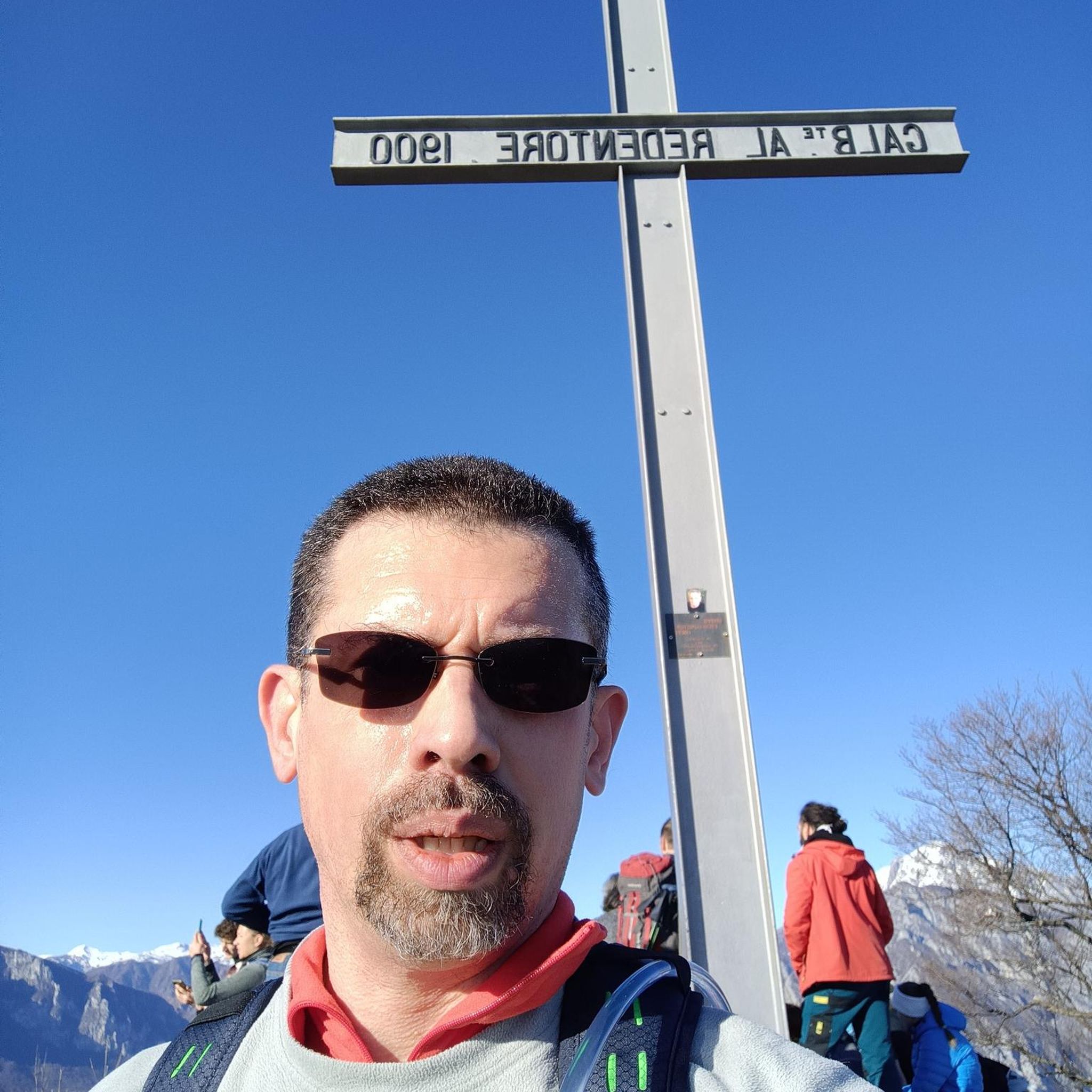
Tips from the Community

A quick photo stop is always worthwhile.
0
0

A very nice highlight.
0
0
Great installation. It's worth stopping here for a photo.
0
0

Unfortunately, the tree has been felled. The tuber lies on the ground.
1
0

break area also for larger groups
1
0

was also once a castle https://de.wikipedia.org/wiki/Burg_Ampleben
0
0
Unfortunately it was closed. What a pity.
1
0
A perfect all-round view
0
0
Frequently Asked Questions
How many hiking trails are available around Schöppenstedt?
There are over 80 hiking trails around Schöppenstedt, offering a wide variety of options for different skill levels and preferences. You'll find everything from easy strolls to more challenging treks.
What kind of landscape can I expect when hiking in Schöppenstedt?
Schöppenstedt's hiking landscape is characterized by a diverse mix of forests and rolling hills, primarily within the beautiful Naturpark Elm-Lappwald. You can expect picturesque views and opportunities to observe local wildlife, such as Highland Cattle.
Are there easy hiking trails suitable for beginners or families in Schöppenstedt?
Yes, Schöppenstedt offers many easy hiking trails. Over 50 routes are classified as easy, making them ideal for beginners or families. An example is the Bench with a view of the Harz – View of the Brocken loop from Eitzum, which is just under 7 km long and offers scenic views.
Are there any circular hiking routes in the Schöppenstedt area?
Many of the trails around Schöppenstedt are designed as circular routes. For instance, the popular Elm loop from Barnstorf-Warle is a moderate 12.1 km circular path exploring the wooded and hilly Elm region.
What are some notable natural features or viewpoints to discover on hikes?
The region offers several natural highlights. You can find a Wooden Seating Area Near Schwindequelle for a pleasant resting spot with views encompassing Ampleben, Schöppenstedt, and even the distant Brocken mountain. The "Path to Burgtal" within the Naturpark Elm-Lappwald is also noted for its beautiful views.
What do other hikers say about the trails in Schöppenstedt?
The hiking routes in Schöppenstedt are highly rated by the komoot community, with an average score of 4.8 stars from over 200 reviews. Hikers often praise the varied terrain, well-maintained paths, and the natural beauty of the Elm-Lappwald Nature Park.
Are there any huts or shelters along the hiking trails for resting?
Yes, there are several huts and shelters available. You might come across the Karl-May Valley Shelter and Stamp Station 5, the Dieter Hauschild hut on the Drachenberg, or a Shelter at trail junction, Naturpark Elm-Lappwald, providing convenient spots for a break.
When is the best time of year to go hiking in Schöppenstedt?
The best times for hiking in Schöppenstedt are generally spring and autumn. During these seasons, temperatures are mild, and the natural scenery is particularly vibrant, offering beautiful colors and comfortable conditions for exploring the trails.
Are there any challenging or difficult hikes for experienced trekkers?
For experienced hikers seeking a challenge, Schöppenstedt offers a few difficult routes. The Tetzelstein – Hagen Monument at the Tetzelstein loop from Schöppenstedt is a demanding 21.3 km trail with a moderate elevation gain, suitable for those with good fitness levels.
Can I spot wildlife while hiking in the Schöppenstedt region?
Yes, the Naturpark Elm-Lappwald, which encompasses many of Schöppenstedt's trails, provides opportunities to observe wildlife. Keep an eye out for various species, including Highland Cattle, which are known to roam the park.
Are there any specific forest paths worth exploring?
The Burgtal Forest Path – Path to Burgtal loop from Schöppenstedt is a popular option, leading through the scenic Burgtal Forest. It's a moderate 7.9 km trail that offers a pleasant immersion into the woodland environment.
What is the overall difficulty range of hikes in Schöppenstedt?
The hiking network around Schöppenstedt is quite varied. You'll find a good mix of easy (55 routes), moderate (24 routes), and a few difficult (2 routes) options, accommodating hikers of all ability levels.
Most popular routes around Schöppenstedt
Most popular attractions around Schöppenstedt

Get inspired with the komoot mobile app


Explore more
Browse the best Hikes in other regions.
