The best walks and hikes around Schönwölkau
4.5
(3365)
13,992
hikers
25
hikes
Hiking trails around Schönwölkau traverse a diverse landscape in northern Saxony, Germany. The region features rewilded former industrial areas, notably the "Restloch Grabschütz," which has transformed into a recreation area with wide grassy expanses. Hikers can explore protected natural monuments, including alluvial forest biotopes along the Boydaer Bach and wetland areas near Wannewitz. These areas offer well-preserved ecosystems and tranquil natural settings.
Best hiking trails around Schönwölkau
- The most popular hiking route is Schadebach II Dam – Sand Quarry loop…
Last updated: June 26, 2026
3.0
(2)
5
hikers
7.92km
02:00
20m
20m
Moderate hike. Good fitness required. Easily-accessible paths. Suitable for all skill levels.
4.8
(4)
7
hikers
Moderate hike. Good fitness required. Easily-accessible paths. Suitable for all skill levels.

Sign up for free
5.0
(4)
5
hikers
4.96km
01:15
10m
10m
Easy hike. Great for any fitness level. Easily-accessible paths. Suitable for all skill levels.
5.0
(3)
5
hikers
Easy hike. Great for any fitness level. Easily-accessible paths. Suitable for all skill levels.
4
hikers
8.22km
02:05
20m
20m
Moderate hike. Good fitness required. Easily-accessible paths. Suitable for all skill levels.
Get access to more routes and recommendations from other explorers.
Sign up for free
Already have an account?
Our route recommendations are based on thousands of hikes, rides, and runs completed by other people on komoot.
Start today with a free account
Your next adventure awaits.
Login or Signup
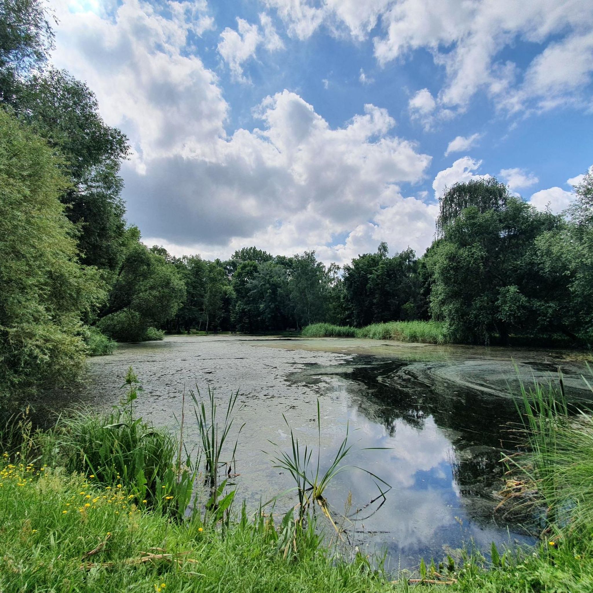
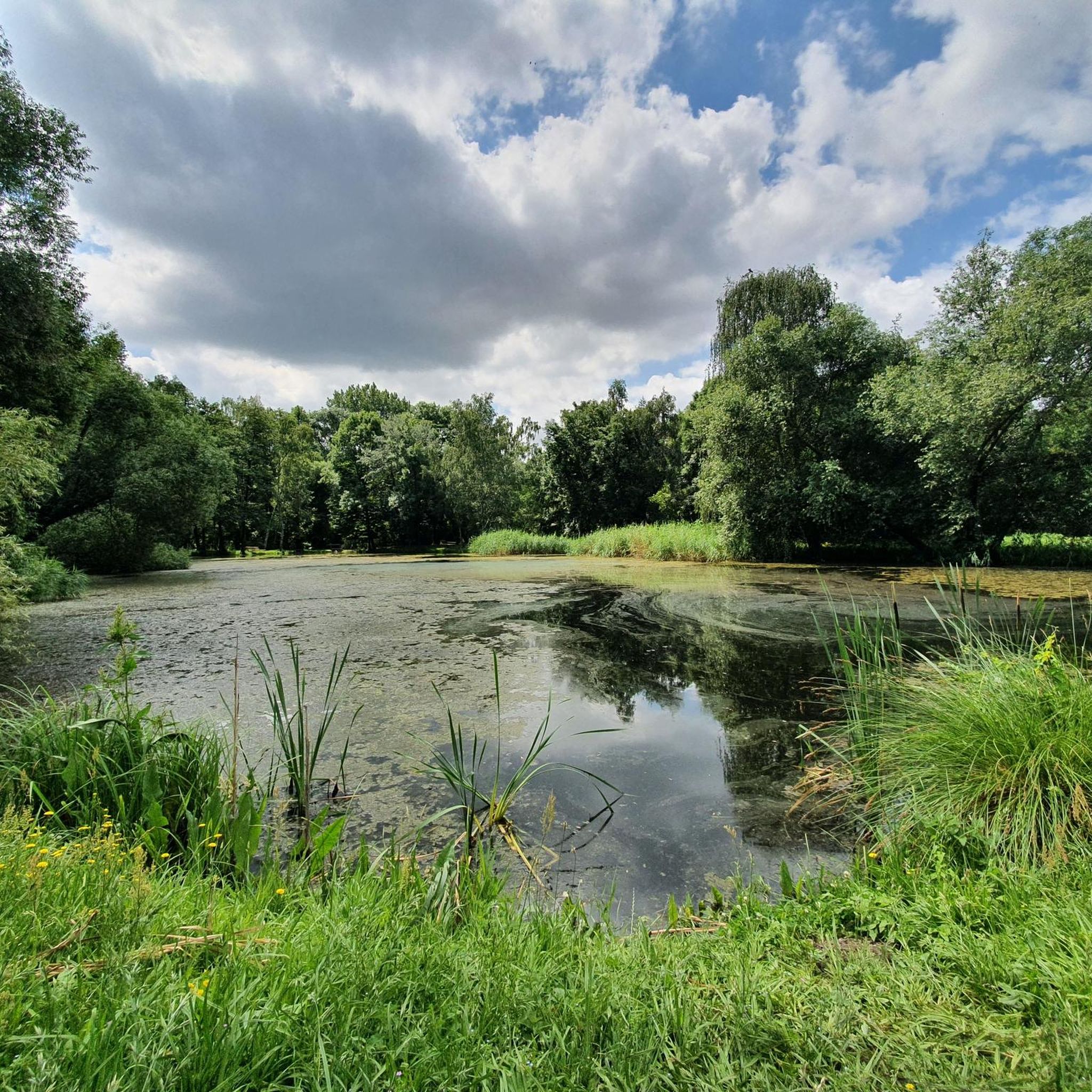
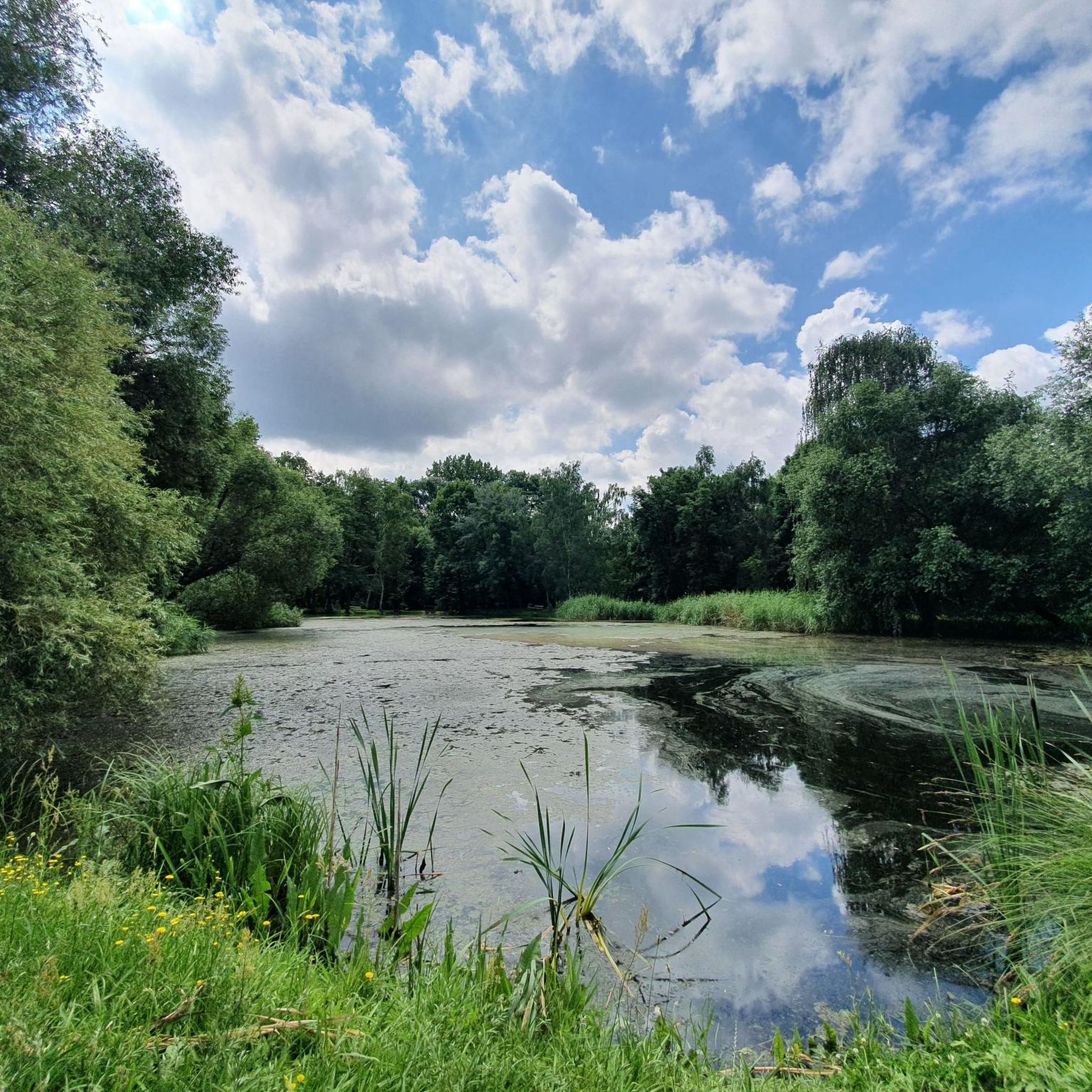
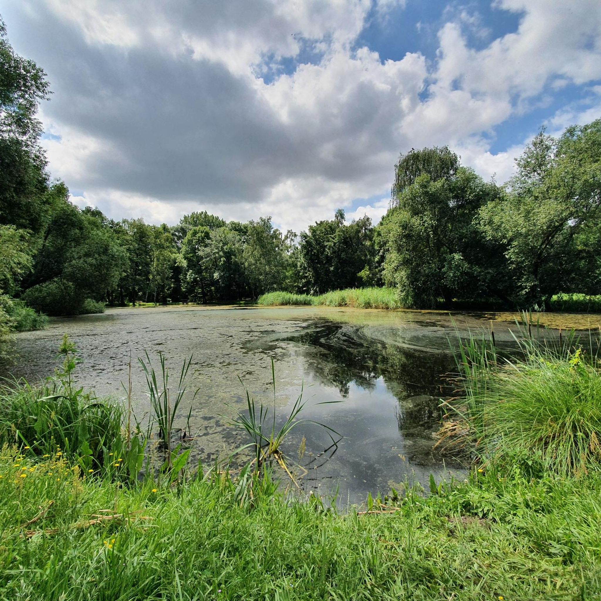
Tips from the Community

Crossing of the Schadebach between the two reservoirs
2
0
Pre-reservoir of the Schadebach II dam
3
0
Location: Badrina, North Saxony Purpose: Inland fisheries, flood control Construction period: 1985–1986 Commissioning: 1989 The Schadebach 2 reservoir is located in North Saxony, very close to the Düben Heath. It is named after the Schadebach stream, which the reservoir impounds. It was built in the mid-1980s primarily for fish farming and the irrigation of agricultural land. To this day, the Schadebach 2 reservoir remains a fishing water and also serves as a flood control reservoir. The design of the Schadebach 2 reservoir was unique at the time: It was the first reservoir in Saxony with a thermoplastic core seal. The core seal was formed first, and then the dam was built around it. An additional sealing strip extends approximately fifty meters into the reservoir basin. Source: https://www.wasserwirtschaft.sachsen.de/TS_Schadebach_2.html
1
0
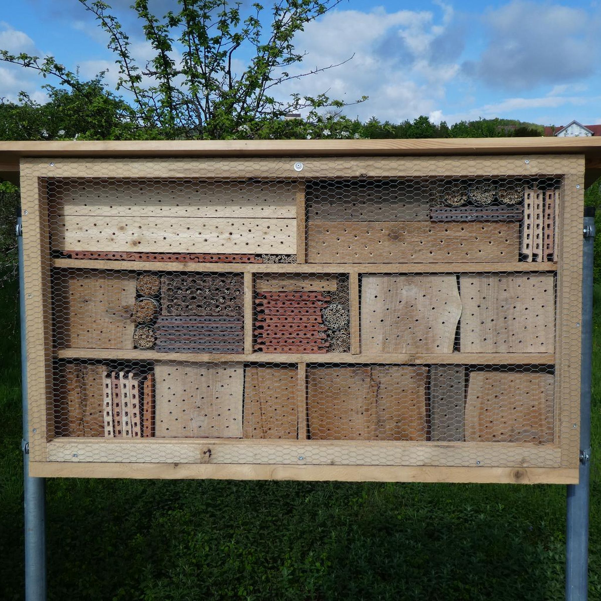
Invites you to take a short break
3
0
In 1787, the Hohenroda community bought the altar with pulpit and baptismal font after it had been stored in Delitzsch. In the old church, the altar was sunk 60 cm into the ground because the church was not high enough. The altar with pulpit and baptismal font is made of white and black marble. The Last Supper is depicted in relief figures under the pulpit. On the left side of the pulpit is a three-quarter life-size figure of Hope with an anchor and a dove in its hand. The pulpit is surrounded by fruit and garlands of flowers. On the right side is the figure of Faith, holding a chalice in its hand. On the underside of the sounding board is a dove, whose head was unfortunately cut off during the repairs. On the sounding board is a female figure. In her right hand she holds a tablet with the inscription: "LEX ET PROPHETAE" and in her left hand a book with the inscription "Gospel". Next to this figure are vases with flaming flames. The organ was built in 1860 by the organ builder Conrad Geißler from Eilenburg. It was dismantled during the church repairs and reinstalled one gallery lower. The upper gallery was removed. Source https://www.pfarrbereich-schenkenberg.de/index.php/kirche-hohenroda
5
0
The church is one of the youngest in the parish. In 1859, the tower with the two staircases was added to the old church because it had become too small. In July 1860, the renovation of the old church was to begin. After the roof of the old church had been torn down to the walls, the congregation decided on July 16, 1860 to tear everything down and build a completely new church. The new church was consecrated on July 11, 1861. Unfortunately, the church could not be preserved in its original form. On June 28, 1963, a major storm severely damaged the church roof, as well as all the houses and buildings in the town. The roofers' construction capacity was not sufficient to repair all the buildings immediately. So rain started pouring into the church. In 1967, it was discovered that the roof beams, the ceiling, two floors in the tower, and the pews in the nave were infested with fungus. There was little money in the church coffers and little prospect of subsidies. So the walls of the middle nave were lowered by 1.80 m and a new roof was built over all three naves. The pinnacles at the corners of the tower were also taken down. hohenroda2016iiThe Duchess Christiane of Saxony-Merseburg had the altar and pulpit for the chapel in Delitzsch Castle made by Merseburg artists around 1690. Source https://www.pfarrbereich-schenkenberg.de/index.php/kirche-hohenroda
5
0
Frequently Asked Questions
What kind of terrain can I expect on hiking trails around Schönwölkau?
The hiking trails around Schönwölkau offer a diverse landscape. You'll find paths traversing rewilded former industrial areas, such as the unique prairie-like environment of Restloch Grabschütz. There are also tranquil alluvial forest biotopes along the Boydaer Bach and wetland areas near Wannewitz, providing varied natural settings for your walks.
How many hiking trails are available in Schönwölkau?
Schönwölkau offers a good selection of routes, with over 25 hiking trails documented on komoot. These range from easy strolls to more moderate hikes, ensuring options for various fitness levels.
Are there easy hiking trails suitable for beginners or casual walkers?
Yes, Schönwölkau has plenty of easy trails. Out of the 25 available routes, 19 are classified as easy. An example of a gentle walk is the Raw Milk Dispenser loop from Krostitz, which is 5.0 km long and takes about 1 hour 15 minutes.
What are some notable natural features or landmarks to see while hiking?
Hikers can explore several interesting natural features. The Restloch Grabschütz, a rewilded former opencast mine, offers a unique prairie-like landscape with shaggy cattle. You can also discover protected natural monuments like the alluvial forest biotope at Fließgraben am Kämmereirand and wetland areas such as Rohrgraben mit Teichwiesen und Erlenhölzchen. For scenic views, consider visiting the View of Schladitzer Lake from Schäferhöhe.
Are there any circular hiking routes in Schönwölkau?
Yes, many of the trails in Schönwölkau are designed as circular routes, allowing you to start and end at the same point. For instance, the moderate Schadebach II Dam – Sand Quarry loop from Badrina is a popular choice, covering 7.9 km.
What do other hikers say about the trails in Schönwölkau?
The hiking experience in Schönwölkau is highly regarded by the komoot community, with an average rating of 4.6 stars from over 4,000 reviews. Hikers often praise the diverse landscapes, from rewilded industrial areas to tranquil forests and wetlands, and the well-maintained paths.
Are the hiking trails in Schönwölkau suitable for families with children?
Yes, with 19 easy routes and generally low elevation changes, many trails in Schönwölkau are suitable for families. The diverse natural settings, including the unique Restloch Grabschütz with its shaggy cattle, can make for an engaging outdoor adventure for children.
Can I bring my dog on the hiking trails in Schönwölkau?
Schönwölkau's natural areas, including rewilded landscapes and forests, generally welcome dogs. However, as some areas are protected natural monuments and bird sanctuaries, it's always advisable to keep dogs on a leash to protect local wildlife and ensure a pleasant experience for all visitors.
What is the typical duration for hikes in Schönwölkau?
Hikes in Schönwölkau vary in length and duration. Easy trails, like the Raw Milk Dispenser loop from Krostitz, can be completed in about 1 hour 15 minutes. Moderate routes, such as the Naulandgraben – Sprödaer Bach – Covered Picnic Area loop from Schönwölkau, typically take around 2 hours 23 minutes for 9.4 km.
Are there any places to relax or have a picnic along the trails?
Yes, some routes incorporate amenities for hikers. For example, the Naulandgraben – Sprödaer Bach – Covered Picnic Area loop from Schönwölkau specifically mentions a covered picnic area, perfect for a break during your hike.
Where can I find more information about the natural monuments in Schönwölkau?
Schönwölkau is rich in designated natural monuments, including alluvial forests and wetlands. For a detailed list and further information on these protected areas, you can consult resources like Wikipedia's list of natural monuments in Schönwölkau.
Most popular routes around Schönwölkau
Most popular attractions around Schönwölkau

Get inspired with the komoot mobile app


Explore more
Browse the best Hikes in other regions.
