The best cycling routes around Panni
4.8
(9)
54
riders
16
rides
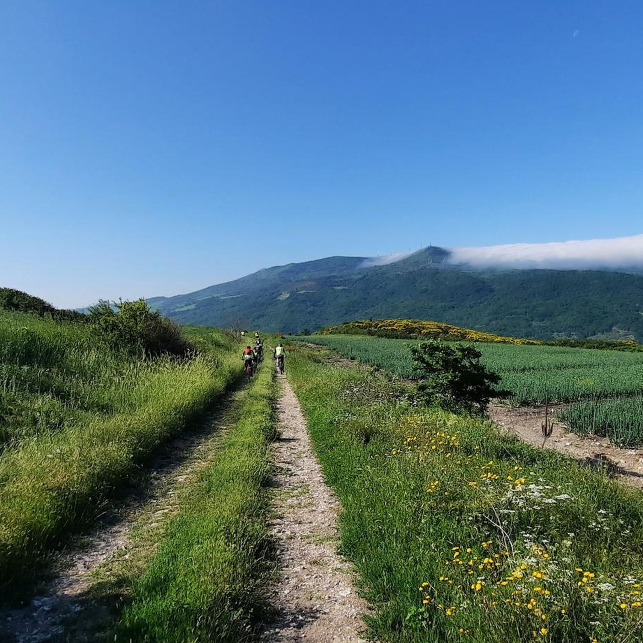
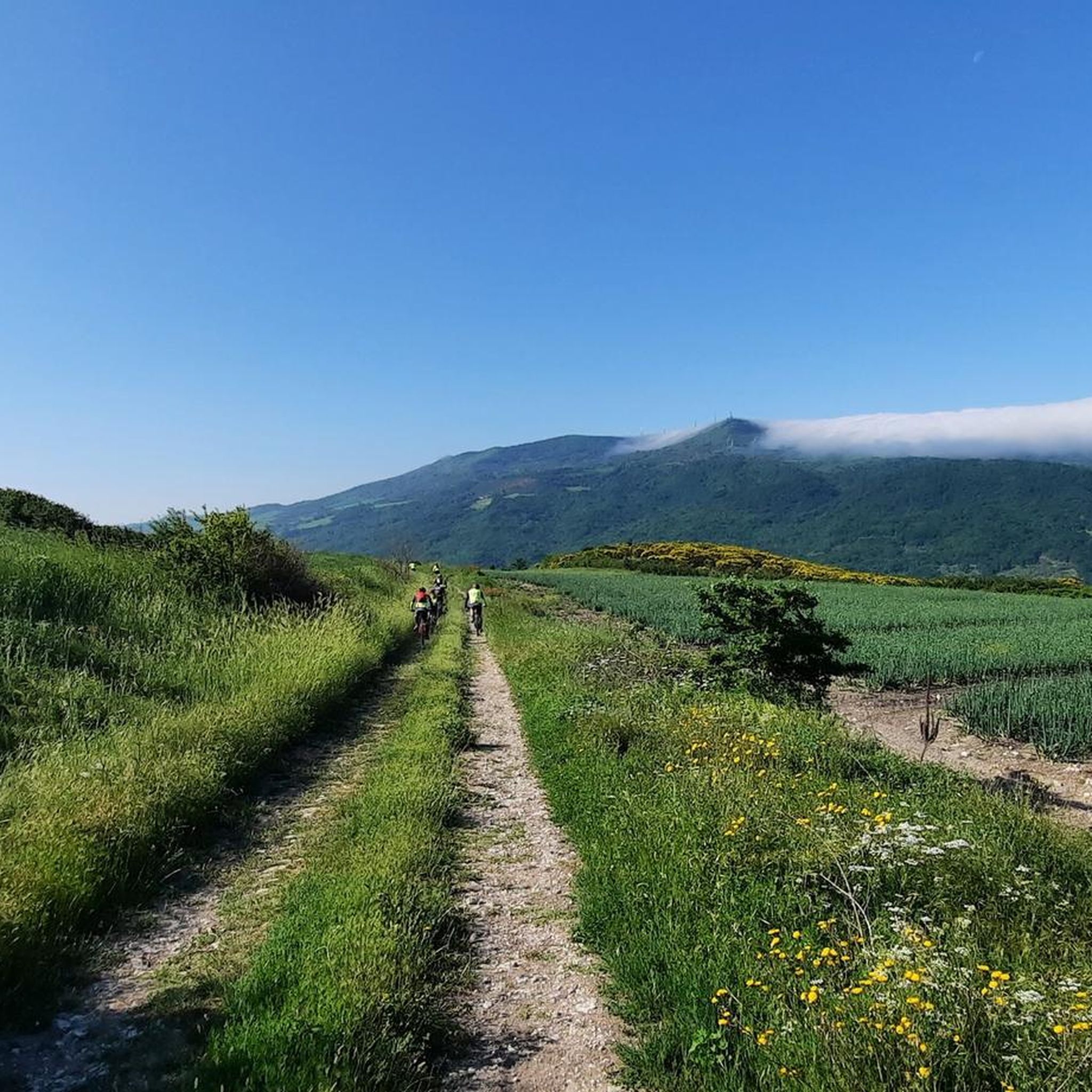
Touring cycling routes around Panni are situated within the Daunian Mountains in Italy's Apulia region. The area is characterized by mountainous terrain, with the village itself resting on Monte Sario at an elevation of 801 meters. Valleys formed by the Avella and Iazzano streams, tributaries of the Cervaro River, contribute to the varied landscape. The southern border features rugged mountainous reliefs, including Monte Crispignano, offering diverse cycling conditions.
Best touring cycling routes around Panni
- The most popular touring cycling route…
Last updated: May 24, 2026
4.3
(3)
12
riders
55.4km
03:26
570m
570m
Hard bike ride. Very good fitness required. Mostly paved surfaces. Suitable for all skill levels.
9
riders
68.4km
04:54
1,380m
1,380m
Hard bike ride. Very good fitness required. Mostly paved surfaces. Suitable for all skill levels.

Sign up for free
5.0
(2)
6
riders
49.6km
03:40
1,150m
1,150m
Hard bike ride. Very good fitness required. Mostly paved surfaces. Suitable for all skill levels.
5.0
(2)
6
riders
Hard bike ride. Very good fitness required. Mostly paved surfaces. Suitable for all skill levels.
5.0
(2)
6
riders
25.8km
01:49
490m
480m
Hard bike ride. Very good fitness required. Mostly paved surfaces. Suitable for all skill levels.
Get access to more routes and recommendations from other explorers.
Sign up for free
Already have an account?
Our route recommendations are based on thousands of hikes, rides, and runs completed by other people on komoot.
Start today with a free account
Your next adventure awaits.
Login or Signup
Popular around Panni
Tips from the Community

Monteleone di Puglia, the highest municipality in the region at 842 meters above sea level, offers one of the most picturesque viewpoints in the Daunia region. The village is intimate and welcoming, with cobbled alleys, small squares, and views overlooking cultivated hills and winding ridges. Strolling through the center, you'll find fountains, arches, and panoramic views that invite you to pause for a moment.
1
0
Savignano Irpino dominates the Cervaro Valley from a rocky spur, with a compact historic center and sweeping views of the hills that mark the border between Campania and Puglia. The climb to reach it is arduous, but the arrival is rewarded with evocative views, stone alleys, and the silhouette of the aqueduct bridge, one of the village's symbols.
0
0

The road is closed due to a collapsed bridge, which gives the impression it won't be repaired anytime soon. There's an alternative route for bikes on a dirt road that's difficult to navigate (see my route).
3
0


the highest town in Puglia is not far from the province of Avellino and Campania
0
0

Rione Fossi is a district of Accadia which was abandoned in 1930 due to a strong earthquake. It was the original nucleus of the town, founded by the Lombards and enriched by Roman temples and palaces. Today it is a ghost town, a suggestive and timeless place, where you can see the houses and streets carved into the rock, the Byzantine church of Saints Peter and Paul and the remains of the castle and the ducal palace.
2
0
Sant'Agata di Puglia is a village perched on a hill at the southern limits of the Monti Dauni. It is nicknamed the "Loggia delle Puglie" because it offers a panoramic view of the Tavoliere and up to Monte Vulture in Basilicata. The castle on the top dominates the town, and to reach it you need to take a walk through the alleys paved with cobblestones, not really suitable for racing bikes.
1
0
Monteleone di Puglia is the highest town in the region, located at an altitude of 842 meters from where it dominates the upper Cervaro valley. From here the view extends 360 degrees towards the valley, the Dauni Mountains and Irpinia, and it is a crossing point of the Eurovelo 5 bicycle itinerary.
1
0
Frequently Asked Questions
How many touring cycling routes are available around Panni?
There are over 15 touring cycling routes around Panni, offering a variety of experiences through the Daunian Mountains. Most of these routes are considered difficult, with a few moderate options available.
What is the typical terrain and difficulty for touring cycling in Panni?
The terrain around Panni is predominantly mountainous, as the village is situated on Monte Sario at 801 meters above sea level within the Daunian Mountains. You can expect varied elevations, including significant climbs and descents, with routes often traversing stream valleys. The majority of routes are rated as difficult, with a few moderate options for those seeking less intense challenges.
When is the best time of year for touring cycling in Panni?
Given Panni's mountainous location, spring and autumn generally offer the most pleasant conditions for touring cycling, with milder temperatures and less extreme weather. Summer can be quite warm, especially at lower elevations, while winter may bring colder temperatures and potential for snow in the higher parts of the Daunian Mountains.
Are there any circular touring cycling routes in Panni?
Yes, many of the touring cycling routes around Panni are designed as loops. For example, you can try the challenging Bike loop from Orsara di Puglia, which covers 34.4 miles (55.3 km) through varied terrain. Another popular option is the Rione Fossi - earthquake damaged original site of Accadia – Castello di Deliceto loop from Accadia, a difficult 25.4-mile (40.9 km) path with significant elevation changes.
What landmarks or points of interest can I explore while cycling near Panni?
While cycling near Panni, you can encounter several interesting points of interest. Consider visiting the charming settlements of Monteleone di Puglia or Orsara di Puglia. For natural beauty, the Accadia Gorges – Pietra di Punta offer a scenic stop. Cyclists interested in challenging ascents might also find the Montaguto Irpino Hill Climb noteworthy.
What do other touring cyclists say about the routes around Panni?
The touring cycling routes around Panni are highly rated by the komoot community, with an average score of 4.3 stars from over 5 reviews. Cyclists often praise the challenging mountainous terrain and the scenic beauty of the Daunian Mountains, making for rewarding rides.
Are there any easy touring cycling routes suitable for beginners in Panni?
The touring cycling routes directly around Panni are generally quite challenging due to the mountainous terrain. There are no routes currently classified as easy. However, there are a couple of moderate options, such as the Rione Fossi - earthquake damaged original site of Accadia loop from Sant'Agata di Puglia, which is 15.7 miles (25.3 km) long and offers a less strenuous experience compared to the difficult routes.
Can I find routes that pass through historical sites or traditional villages?
Yes, some routes offer glimpses into the region's history and traditional settlements. The Rione Fossi - earthquake damaged original site of Accadia – Castello di Deliceto loop from Accadia, for instance, passes by historical sites and the original earthquake-damaged site of Accadia, offering a cultural dimension to your ride.
What are some longer, more challenging touring cycling routes in the area?
For experienced touring cyclists seeking a significant challenge, routes like the Monteleone di Puglia – Rione Fossi - earthquake damaged original site of Accadia loop from Taverna stand out. This difficult route spans over 45 miles (73 km) with substantial elevation gain, providing an extensive exploration of the Daunian Mountains.
Are there options for touring cyclists looking for routes with significant elevation changes?
Absolutely. Panni is located in the Daunian Mountains, so significant elevation changes are a defining characteristic of the touring cycling routes here. Many routes feature substantial climbs and descents, such as the Monteleone di Puglia – Rione Fossi - earthquake damaged original site of Accadia loop from Deliceto, which includes over 1200 meters of ascent over its 46-mile (74 km) length.
Is public transport or parking available near the starting points of these routes?
While specific public transport details for each route's starting point are not provided, Panni is connected via provincial road SP-121 to state road SS 90, suggesting road access. For parking, it's advisable to check the specific starting points of individual routes on komoot for user-generated information or local signage, as dedicated cycling parking facilities may vary.
Most popular routes around Panni
Most popular attractions around Panni

Get inspired with the komoot mobile app


Explore more
Browse the best Cycling routes in other regions.
