The best running trails around Val Masino
5.0
(2)
565
runners
15
runs
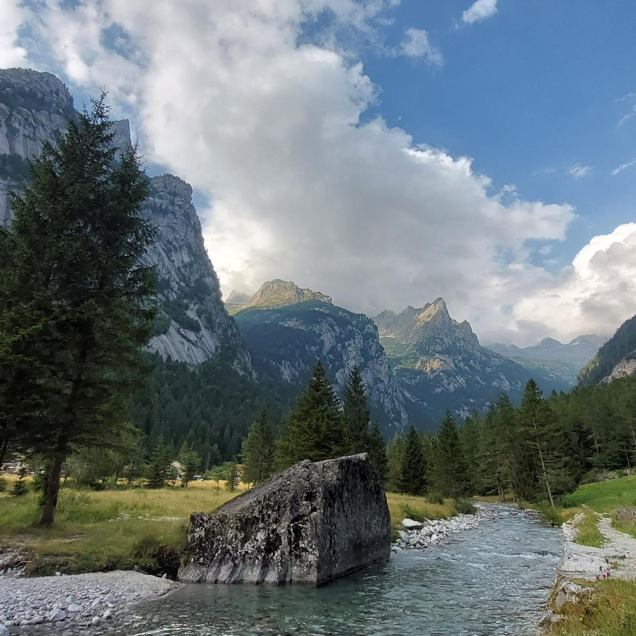
Jogging around Val Masino offers diverse terrain, from gentle valley-floor paths to challenging alpine trails. The region is characterized by imposing granite peaks, lush forests, and crystal-clear waterways, shaped by ancient glaciers. Runners can explore the flat areas around the valley bottom villages or ascend to high-altitude refuges. This landscape provides a varied backdrop for running, catering to different fitness levels.
Best jogging routes around Val Masino
- The most popular jogging route is Val di Mello Loop Trail, a…
Last updated: October 10, 2026
5.0
(2)
200
runners
9.92km
01:19
260m
260m
Hard run. Good fitness required. Sure-footedness, sturdy shoes and alpine experience required.
92
runners
15.6km
04:56
1,510m
1,510m
Hard run. Very good fitness required. Sure-footedness, sturdy shoes and alpine experience required.

52
runners
13.5km
02:45
1,330m
1,330m
Hard run. Very good fitness required. Mostly paved surfaces. Suitable for all skill levels.
36
runners
8.05km
02:54
880m
880m
Hard run. Very good fitness required. Sure-footedness, sturdy shoes and alpine experience required.
17
runners
Hard run. Very good fitness required. Sure-footedness, sturdy shoes and alpine experience required.
Get access to more routes and recommendations from other explorers.
Already have an account?
Our route recommendations are based on thousands of hikes, rides, and runs completed by other people on komoot.
Start today with a free account
Your next adventure awaits.
Popular around Val Masino
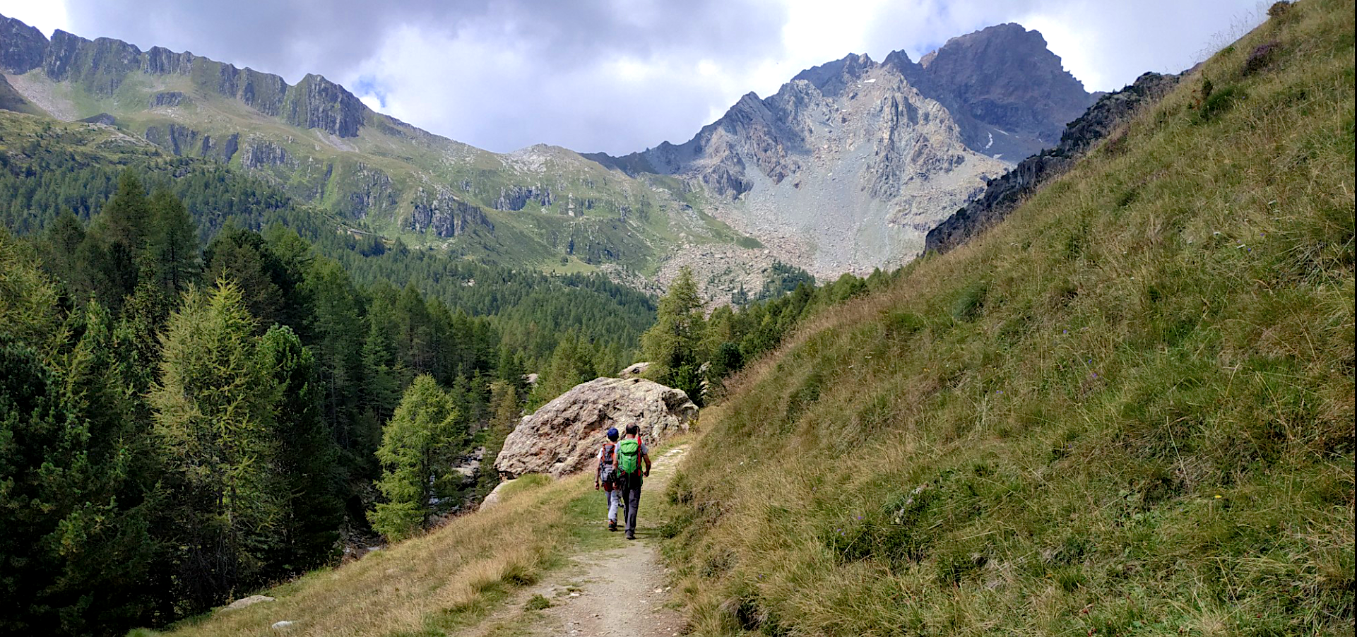
Sentiero Roma — A thrilling trekking adventure at high altitude
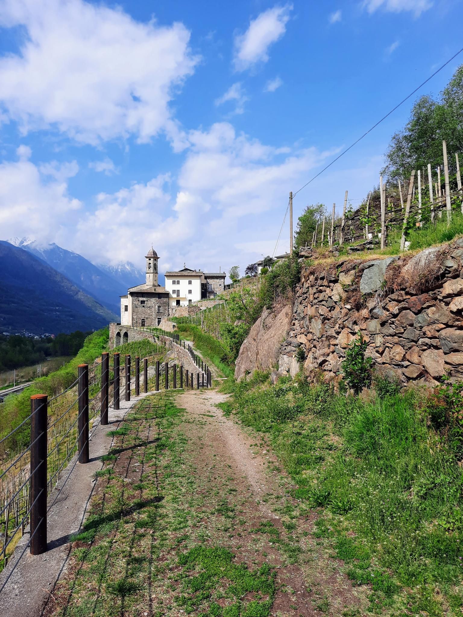
Hike in Valtellina in Italy – CamminaForeste in Lombardy part 5
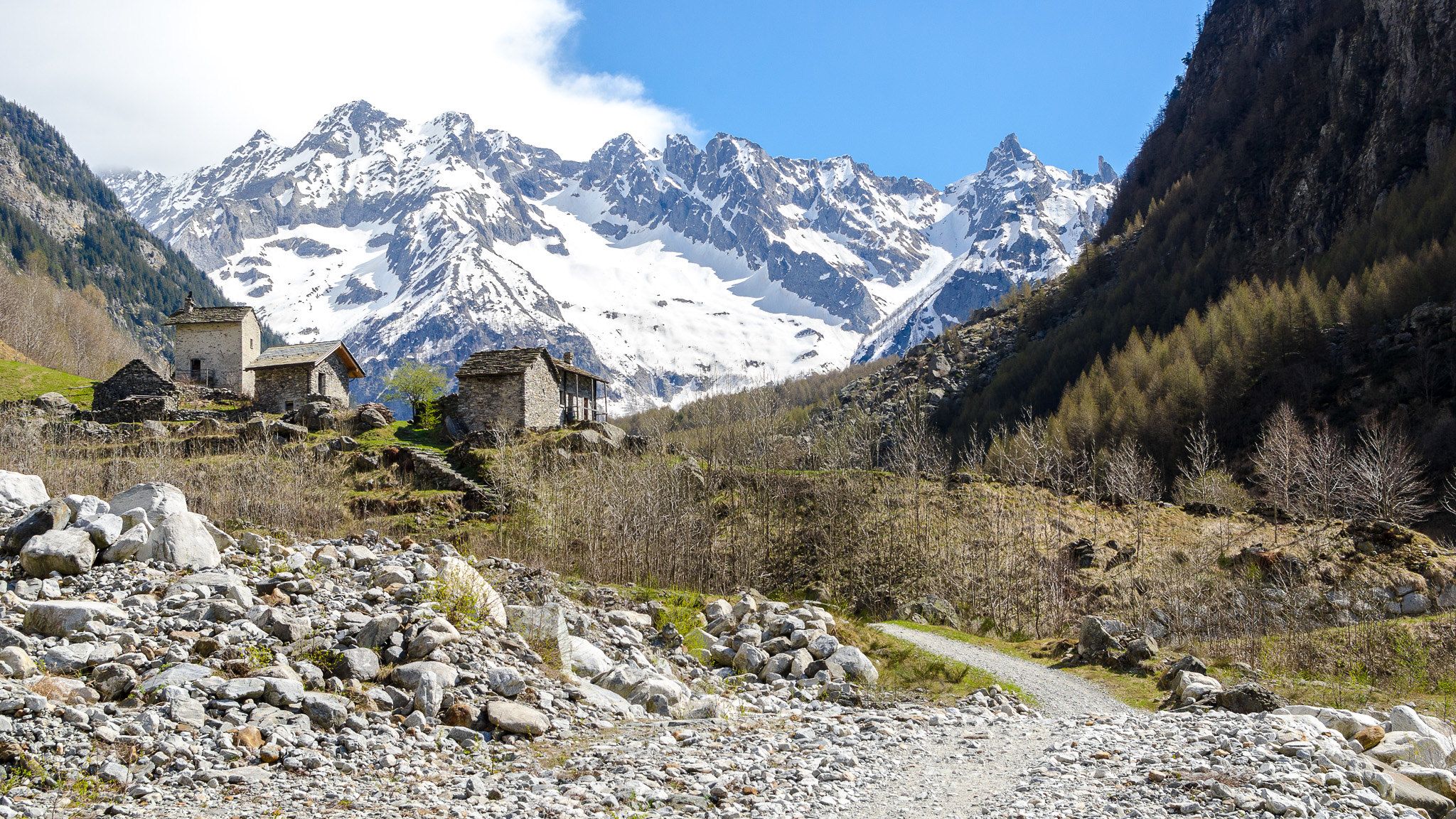
3 nights in Val Codera – a taste of Italy’s Sentiero Bonatti and the Tracciolino
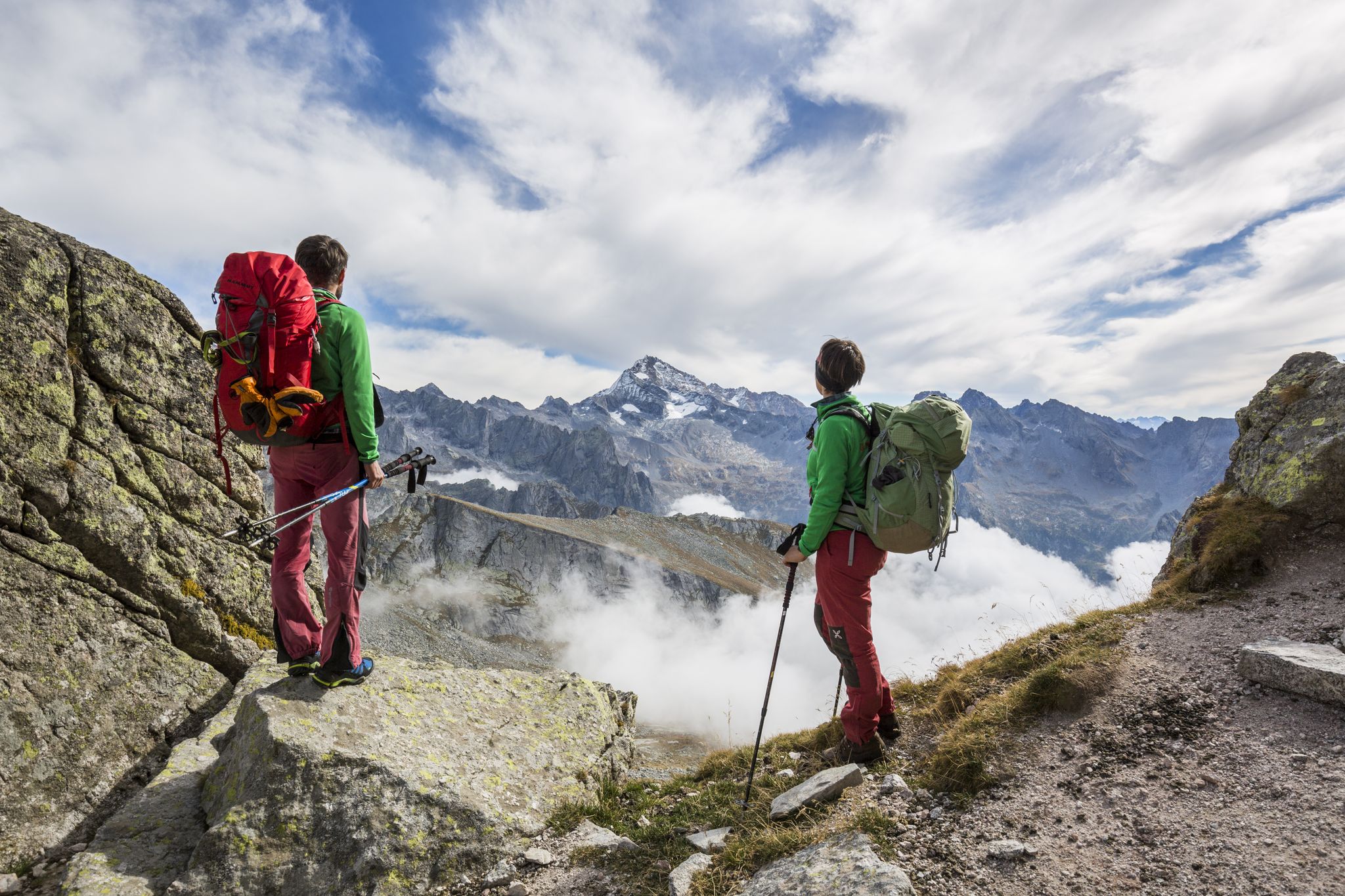
Alte Vie in Valtellina: pura natura alpina
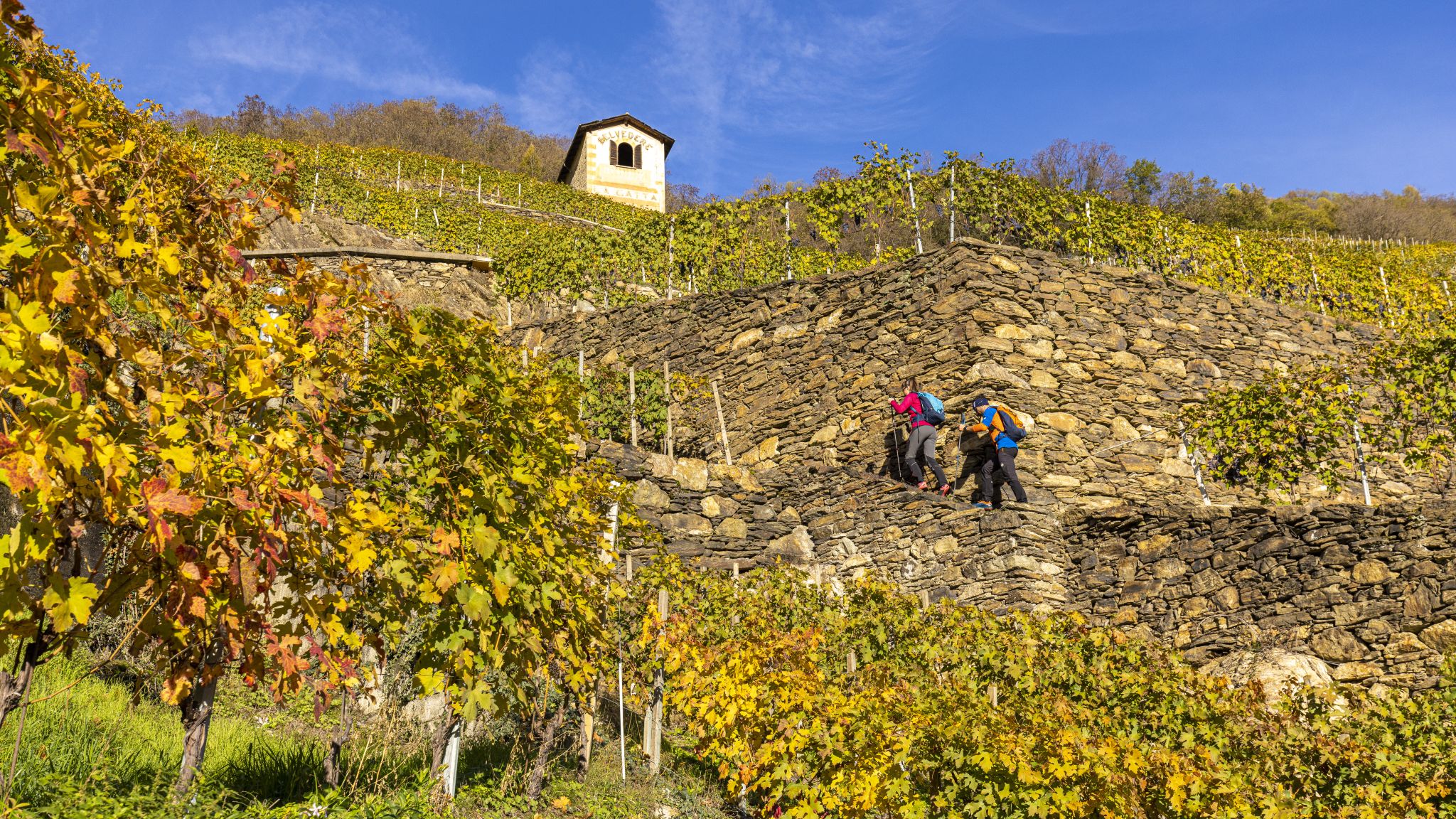
Autunno in Valtellina: paesaggi da camminare
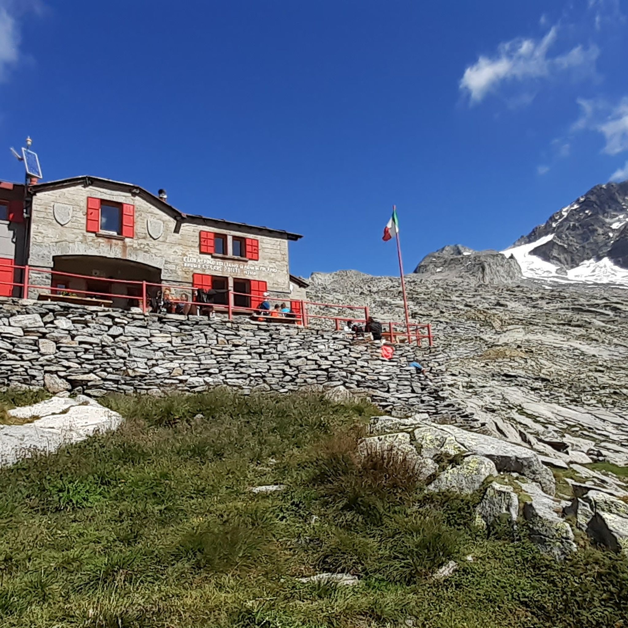
Hiking around Val Masino
Cycling around Val Masino
MTB Trails around Val Masino
Road Cycling Routes around Val Masino

Mountain Hikes around Val Masino
Other adventures around Val Masino


Tips from the Community

Historic refuge in a spectacular setting.
2
0
Beautiful village of Val Masino, with historic thermal baths.
2
0


A detour is not necessary because the rockfall is on the path. The boulders are impressive. But also the view of the surrounding granite walls.
0
0

Ideal for families, where you can have a picnic, the parking cost is €8 for the whole day
1
0
Here you climb to the Gianetti refuge, it's a demanding climb
0
0
It's a beautiful refuge, too bad we went up during a period when it was still closed
0
0
Frequently Asked Questions
What types of running trails can I expect in Val Masino?
Val Masino offers a diverse range of running trails, from gentle valley-floor paths suitable for leisurely jogs to challenging alpine routes with significant elevation changes. The landscape is characterized by imposing granite peaks, lush forests, and crystal-clear waterways, providing a varied and scenic backdrop for any run.
Are there any easy or moderate jogging routes in Val Masino?
While many routes in Val Masino are considered difficult due to the alpine terrain, there is at least one moderate route available. The valley floor areas, particularly around the villages, also offer flatter, easier options for light jogging or leisurely walks, such as the 'Sentiero dei Borghi' which connects the main villages.
What are some of the most scenic natural features to see while running in Val Masino?
Val Masino is rich in natural beauty. You can enjoy frothing streams, picturesque waterfalls like the Cama Waterfall with Tunnel, and serene lakes within the Val di Mello Nature Reserve. The region is also famous for its massive granite boulders and dramatic alpine vistas, including views of Monte Disgrazia.
Can I find running routes that pass by waterfalls in Val Masino?
Yes, many running routes in Val Masino feature spectacular waterfalls. The Val di Mello River area, for instance, is known for its frothing streams and waterfalls, including the beautiful 'Bidet of the Countess'. The Durango Waterfall is another notable feature you might encounter on trails.
Are there any circular running routes in Val Masino?
Yes, Val Masino offers several circular running routes. A popular option is the Val di Mello Loop Trail, which is 9.9 km long and offers stunning views of granite walls and Qualido Lake. For a more challenging alpine experience, consider the Rifugio Omio and Rifugio Gianetti Loop Trail.
What kind of landmarks or points of interest can I explore on a run in Val Masino?
Beyond the natural beauty, you can encounter several points of interest. The Val di Mello Nature Reserve itself is a significant landmark. For those seeking high-altitude destinations, refuges like Gianetti Hut or Eli Longoni Hut serve as rewarding stops. The Sasso Remenno, Europe's largest erratic boulder, is also a unique sight in the region.
Are there any challenging trail running options for experienced runners?
Absolutely. Val Masino is renowned for its demanding alpine trails. Routes like the From Bagni di Masino to Rifugio Gianetti – run in Val Porcellizzo offer significant elevation gain and rugged terrain. The region also hosts parts of the challenging Sentiero Roma, known for attracting top skyrunning athletes.
What do other runners say about the trails in Val Masino?
The running routes in Val Masino are highly regarded by the komoot community. Over 500 runners have explored the varied terrain, often praising the stunning granite peaks, lush forests, and the diverse options available for different fitness levels.
Are there any running routes that start near Bagni di Masino?
Yes, the area around Bagni di Masino is a great starting point for several runs. You can embark on routes such as the From Bagni di Masino to Rifugio Gianetti – run in Val Porcellizzo, which leads through Val Porcellizzo, or the Ascent to the Omio refuge – race from Bagni di Masino.
Can I find running trails with high-altitude views in Val Masino?
Definitely. Val Masino is home to numerous high-altitude trails that lead to stunning panoramic views. The Preda Rossa area, at the foot of Monte Disgrazia, is particularly noted for its high-altitude landscapes. Many routes also connect to refuges like Rifugio Omio and Rifugio Gianetti, offering incredible alpine vistas.
Are there any routes that explore the Val di Mello Nature Reserve?
The Val di Mello Nature Reserve is a highlight for runners. The Val di Mello Loop Trail is a popular option, offering views of granite walls and Qualido Lake. You can also enjoy an 'ultra-easy flat walk' along the Mello stream within the reserve, passing small lake basins like Laghetto del Qualido.
What is the terrain like for running in Val Masino?
The terrain in Val Masino is highly varied. You'll find relatively flat paths in the valley bottoms, especially around the villages, ideal for easy runs. As you ascend, trails become more rugged, traversing through forests, past granite rock formations, and along alpine paths with significant elevation changes, characteristic of the region's glacial past.
Most popular routes around Val Masino
Most popular attractions around Val Masino

Get inspired with the komoot mobile app


Explore more
Browse the best Running Trails & Routes in other regions.
