The best mountain hikes around Maslianico
5.0
(1)
9
hikers
3
hikes
Mountaineering routes Maslianico are situated in a region characterized by mountainous terrain, nestled near Lake Como and Lake Lugano. The area features prominent peaks such as Monte Generoso, Mount Bollettone, and Mount Boletto, which form part of the Como triangle ridge. These landscapes offer diverse elevations and natural features, including fir tree forests and rocky ascents, providing varied challenges for mountaineers.
Best mountaineering routes around Maslianico
- The most popular mountaineering route is Mountaineering loop from Melano, a 5.5 miles…
Last updated: July 11, 2026
5.0
(1)
5
hikers
12.7km
05:28
790m
800m
Hard mountaineering route. Very good fitness required. Sure-footedness, sturdy shoes and alpine experience required.
2
hikers
4.59km
01:42
280m
280m
Moderate mountaineering route. Great for any fitness level. Mostly accessible paths. Sure-footedness required.

Sign up for free
2
hikers
11.7km
04:44
790m
790m
Moderate mountaineering route. Good fitness required. Mostly accessible paths. Sure-footedness required.
Our route recommendations are based on thousands of hikes, rides, and runs completed by other people on komoot.
Start today with a free account
Your next adventure awaits.
Login or Signup
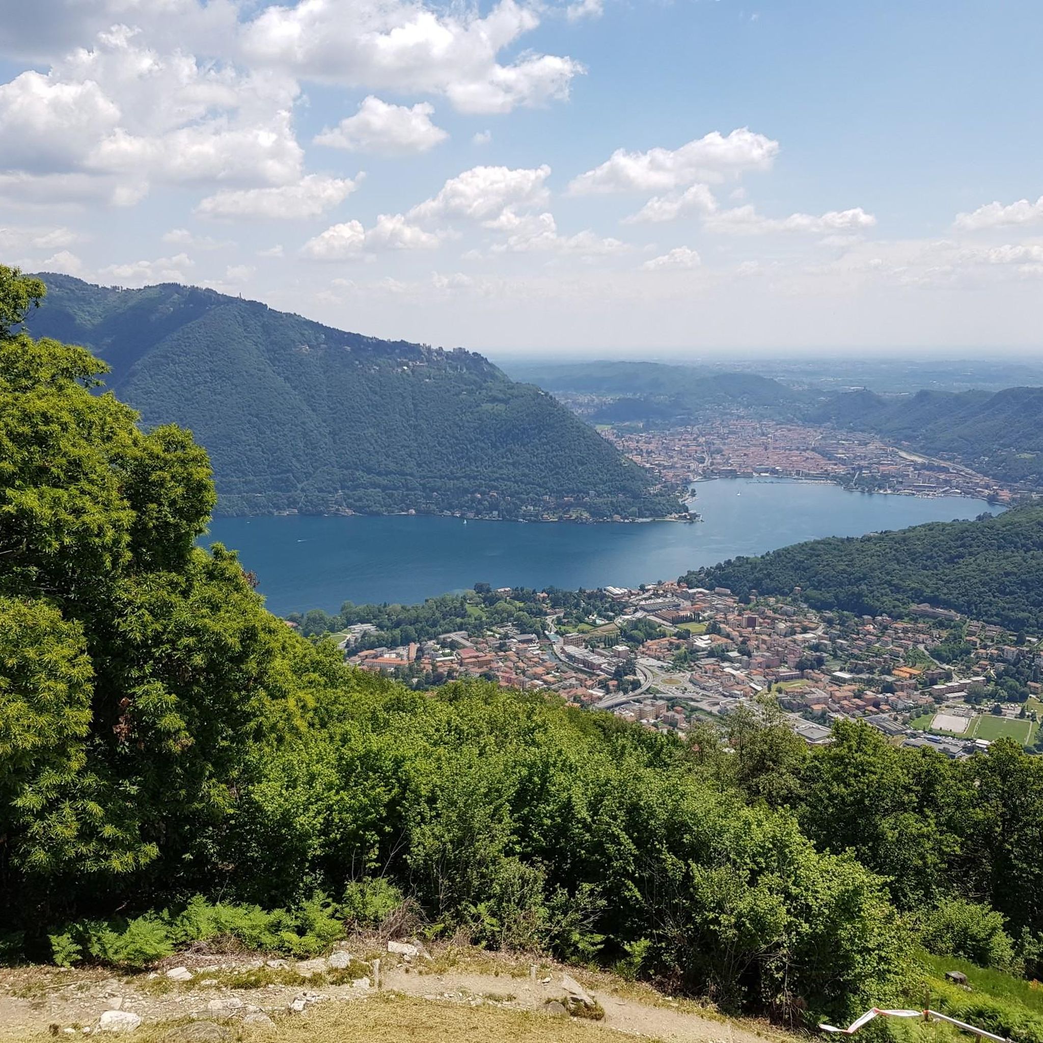
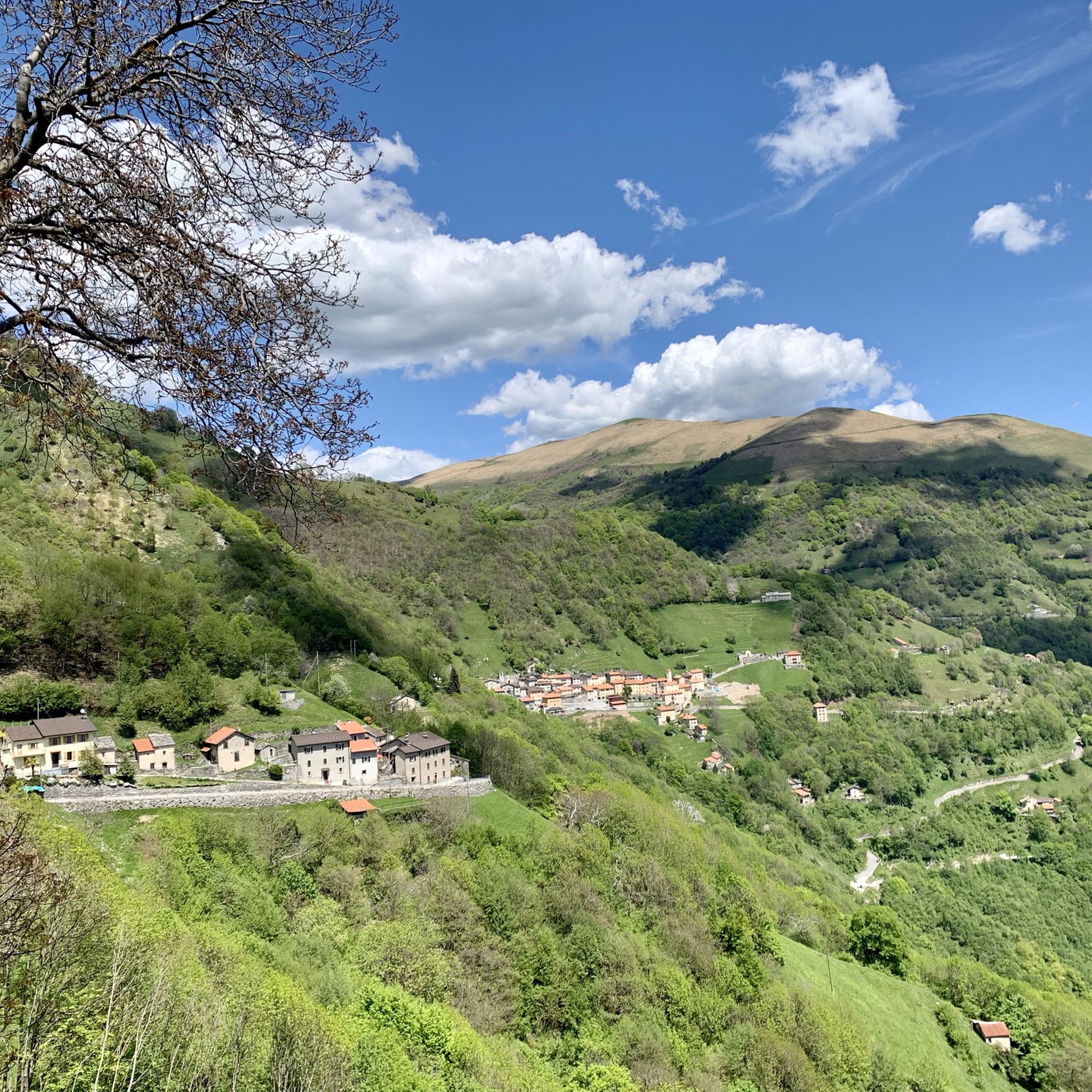
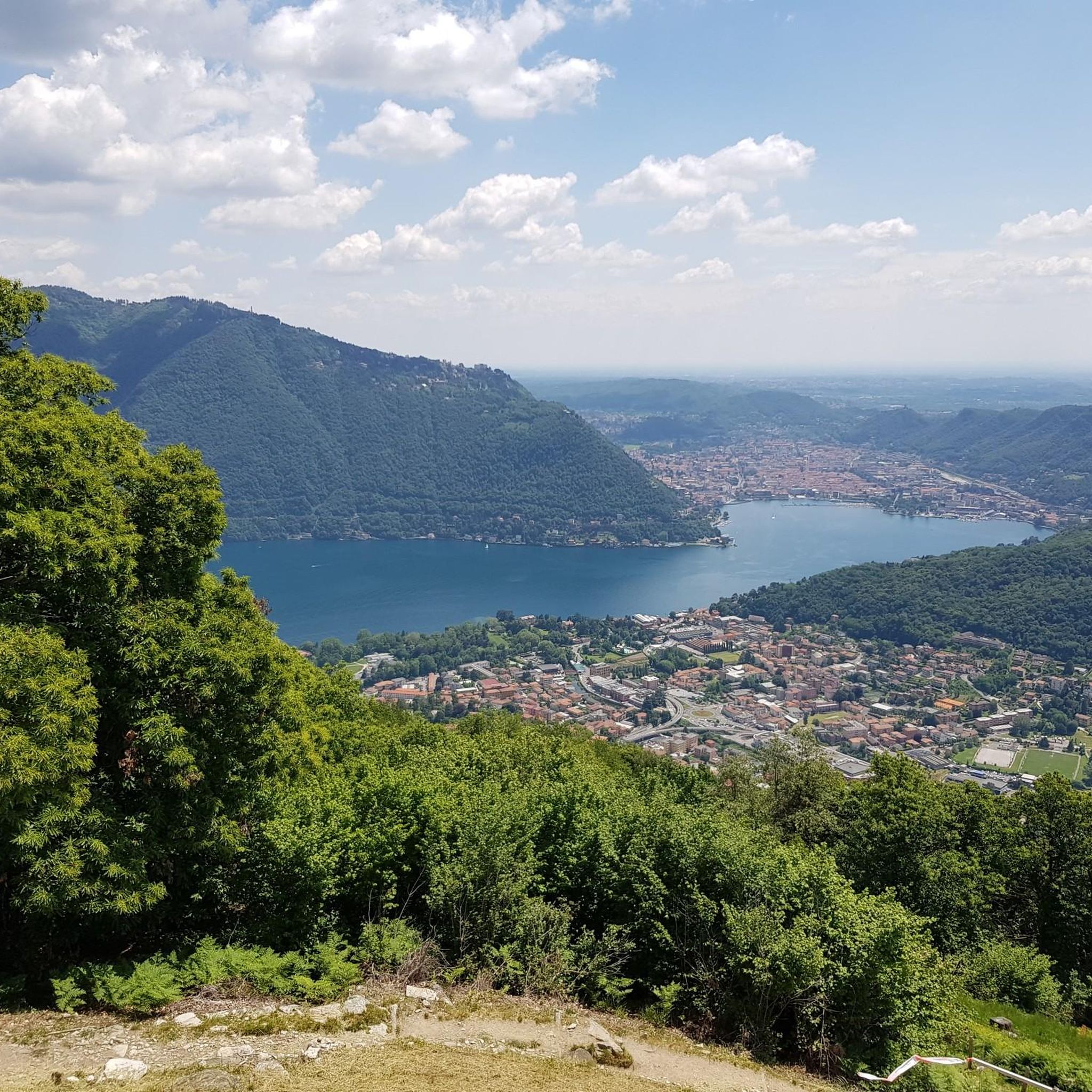
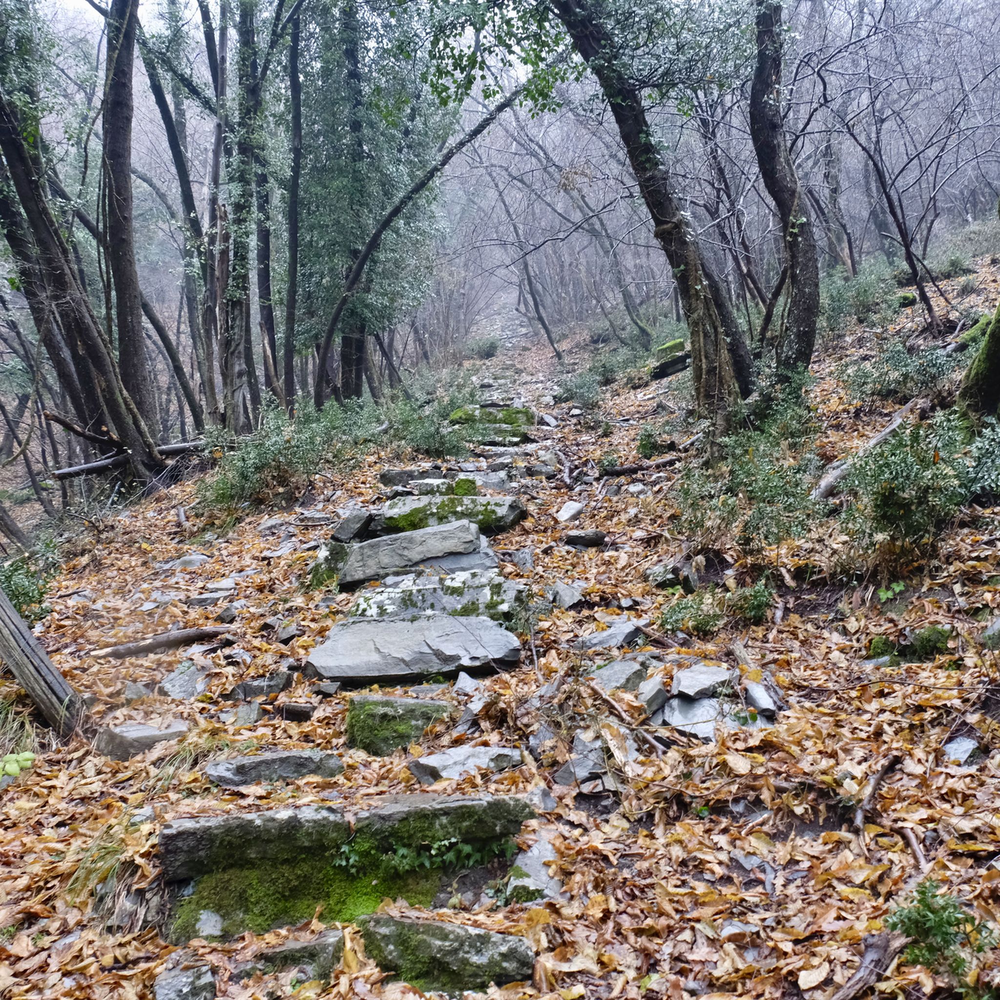
Tips from the Community

pretty here, very pretty
0
0

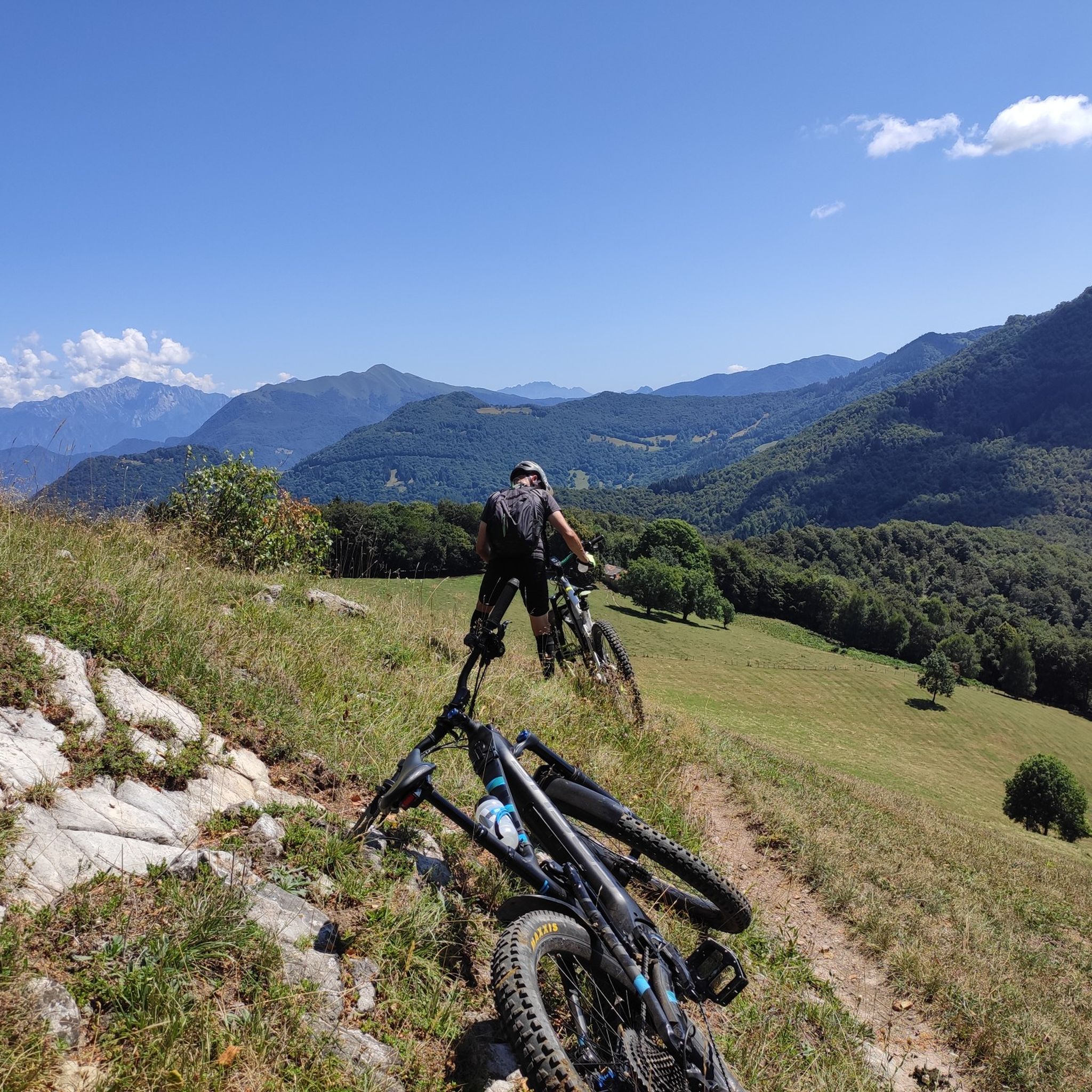
It should be noted that with a road bike you risk puncturing or damaging a tire, very sharp stones. Furthermore, walking with the bike by hand for 1.5km and with road cycling shoes, you risk falling several times...
0
0

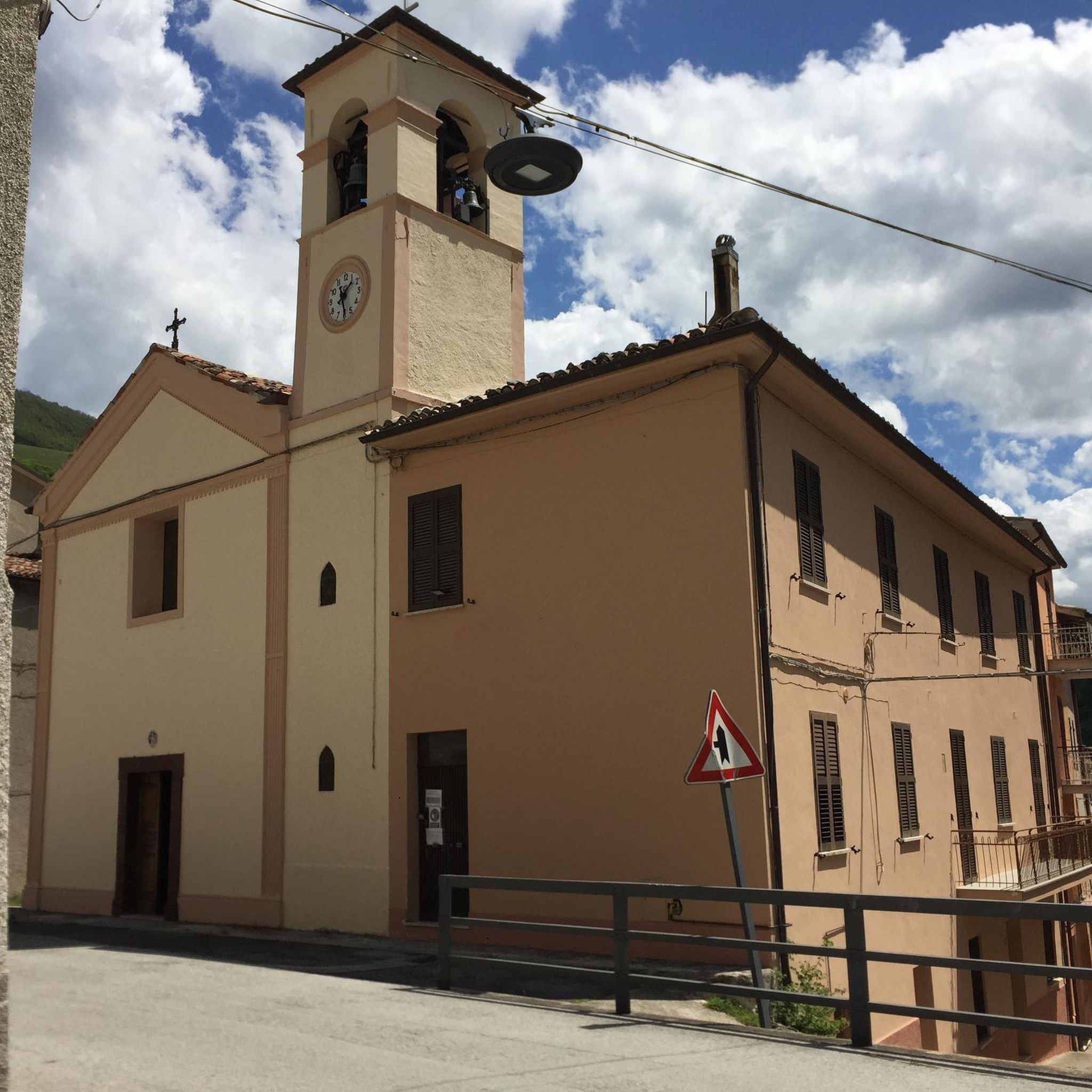
This church has been entrusted to the local community not by one of the (almost countless) saints, but by "Santa Croce" (the Holy Cross). Perhaps a brief stop here is the perfect opportunity for hikers and walkers to offer a short meditation and a prayer to God. I would therefore like to invite you to prayerfully contemplate God's infinite love for us, revealed in Christ nailed to the wood of the cross. Perhaps a saying by the Spanish founder of the religious order, Ignatius of Loyola (1491-1556), might be helpful: "It is precisely where human hopes fall lowest that trust in God rises highest. For where all human help gives way, there divine help takes its place."
0
0

From Mount Generoso you can see Switzerland, Brianza, the Varese area and the mountains of Valsassina.
0
0
Beautiful 360° view
0
0


Beautiful route from the Pizzamiglio customs house and wonderful, lesser-known places on Lake Lugano.
0
0

Ideal for those who are surprised by a thunderstorm here
0
0
Frequently Asked Questions
What types of mountaineering routes can I find around Maslianico?
The Maslianico area offers a variety of mountaineering routes, ranging from moderate to difficult. You'll find paths that lead through diverse landscapes, including fir tree forests and rocky ascents, with options for circular paths and ascents towards prominent peaks like Monte Generoso. There are currently 3 moderate and 2 difficult routes listed in this guide.
Are there any circular mountaineering routes available near Maslianico?
Yes, several circular routes are available. For a moderate option, consider the Mountaineering loop from Melano, which covers 8.8 km. Another moderate choice is the Mountaineering loop from Meride, spanning 10.9 km. For a more challenging circular path, the Bocchetta d'Orimento loop from Monte Generoso is a difficult 12.5 km route offering expansive views.
What is the best time of year for mountaineering in the Maslianico region?
The best time for mountaineering around Maslianico generally aligns with late spring, summer, and early autumn. During these months, the weather is typically more stable, and trails are clear of snow, especially at higher elevations. Peaks like Monte Generoso offer their most expansive views on clear days. Winter mountaineering is possible but requires specific equipment and experience due to snow and ice conditions.
Are there any family-friendly mountaineering routes in the area?
While many mountaineering routes in this guide are moderate to difficult, the Faro Voltiano of Brunate loop from Como is a shorter, moderate option at 4.3 km, which might be more suitable for families with some hiking experience. It offers a taste of the region's beauty without the extreme challenge of longer ascents.
What interesting landmarks or attractions can I see along the mountaineering routes?
Many routes offer views of or pass by significant landmarks. For instance, the Faro Voltiano of Brunate – Como Covered Market loop from Como Nord Borghi takes you near the historic Voltiano Lighthouse in Brunate, which offers splendid panoramic views. The region is also rich in historical sites and natural viewpoints, including various castles and lake views.
Are there options for public transport to access mountaineering trails near Maslianico?
Maslianico's proximity to larger towns like Como means that some trailheads might be accessible via local public transport. For example, the Faro Voltiano of Brunate – Como Covered Market loop starts from Como Nord Borghi, which is a train station, making it accessible by public transport. For other routes, especially those starting in smaller villages, checking local bus schedules or considering a short taxi ride from a main transport hub would be advisable.
Where can I find parking for mountaineering routes around Maslianico?
While specific parking details for each trailhead are best checked on individual route pages, many starting points in the Maslianico region, particularly in smaller towns or villages like Melano or Meride, often have designated parking areas. For routes starting from larger hubs like Como, public parking facilities are available, though they may be paid. It's always recommended to verify parking availability and regulations before your trip.
What do other mountaineers say about the routes in Maslianico?
The mountaineering routes around Maslianico are highly regarded by the komoot community, holding an average rating of 5.0 stars from 2 reviews. Users often praise the diverse terrain, the rewarding views from peaks like Monte Generoso, and the well-maintained paths that make for an enjoyable experience.
Are there any facilities like cafes or restaurants near the mountaineering trails?
Given the region's popularity, many towns and villages near the trailheads, such as Maslianico itself, Como, or those around Monte Generoso, offer cafes, restaurants, and other amenities. It's a good idea to plan your route to pass through or end near a village if you wish to enjoy refreshments or a meal after your hike.
Can I bring my dog on the mountaineering routes near Maslianico?
Generally, dogs are welcome on many hiking and mountaineering trails in the Maslianico region, provided they are kept under control, especially in areas with livestock or wildlife. However, specific regulations can vary, particularly in protected areas or on private land. Always check local signage and be mindful of other hikers and the environment. It's also important to ensure your dog is fit enough for the chosen route and to carry enough water for both of you.
How challenging are the mountaineering routes in this area?
The mountaineering routes around Maslianico offer a range of difficulties. This guide features 3 moderate routes, which are suitable for those with a good level of fitness, and 2 difficult routes, which require significant experience, endurance, and potentially some scrambling. Routes like the Bocchetta d'Orimento loop from Monte Generoso involve substantial elevation gain and are considered difficult.
Most popular routes around Maslianico
Most popular attractions around Maslianico

Get inspired with the komoot mobile app


Explore more
Browse the best Mountain Hikes & Routes in other regions.
