The best walks and hikes around Schönholzerswilen
4.5
(1953)
9,696
hikers
754
hikes
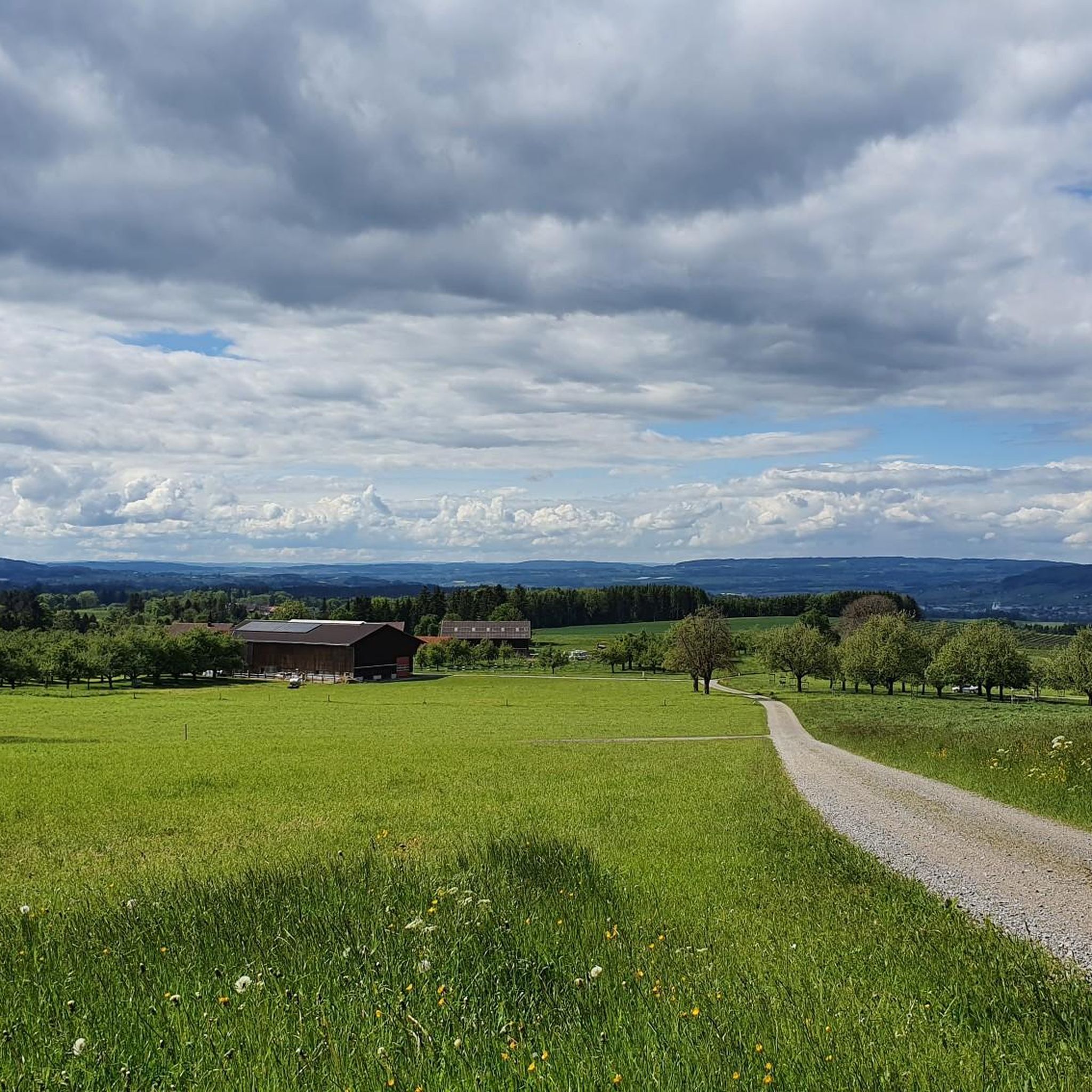
Hiking around Schönholzerswilen offers diverse landscapes in the canton of Thurgau, Switzerland. The municipality is situated on a ridge, providing varied terrain and scenic views. With 21.6% forested land and 70.6% agricultural use, the area features a mosaic of woodlands and cultivated fields. Its topography has been shaped by glacial activity, weathering, and deposits, creating distinct natural features for exploration.
Best hiking trails around Schönholzerswilen
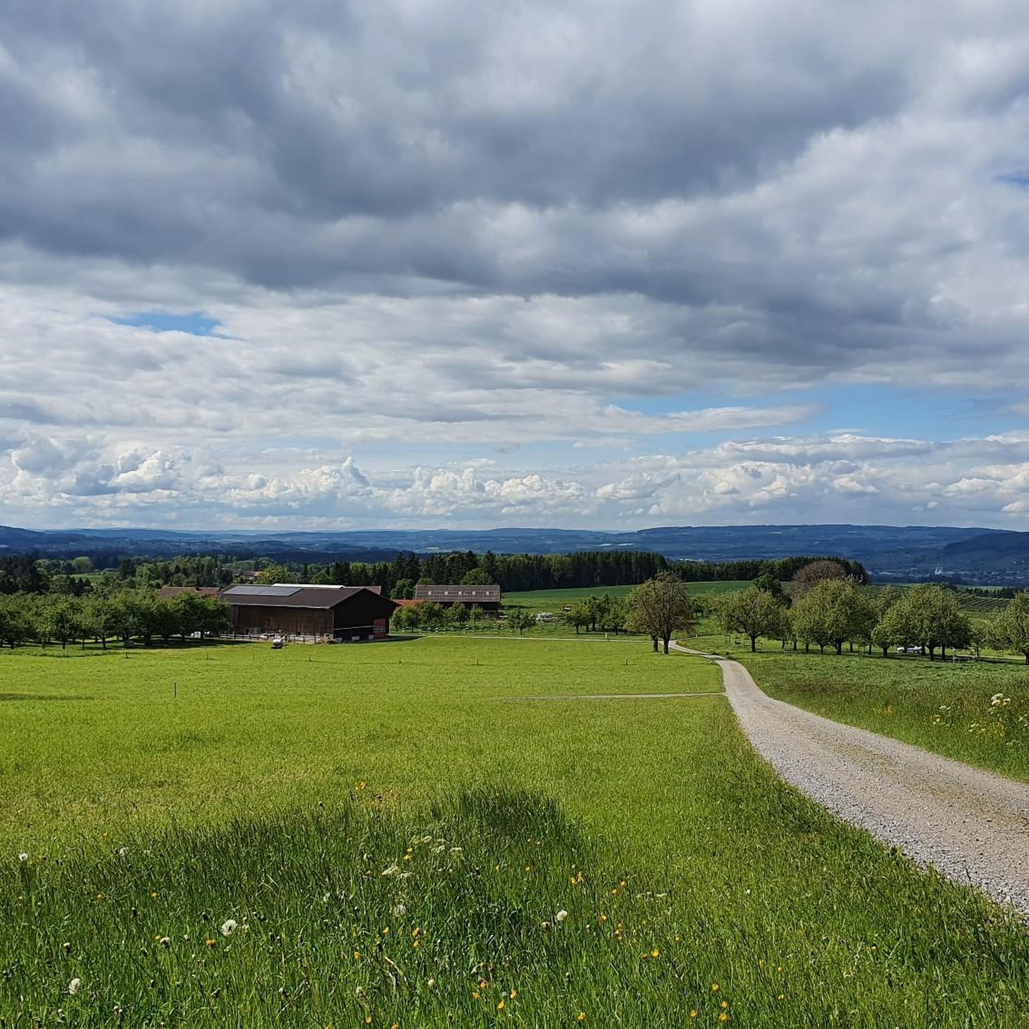
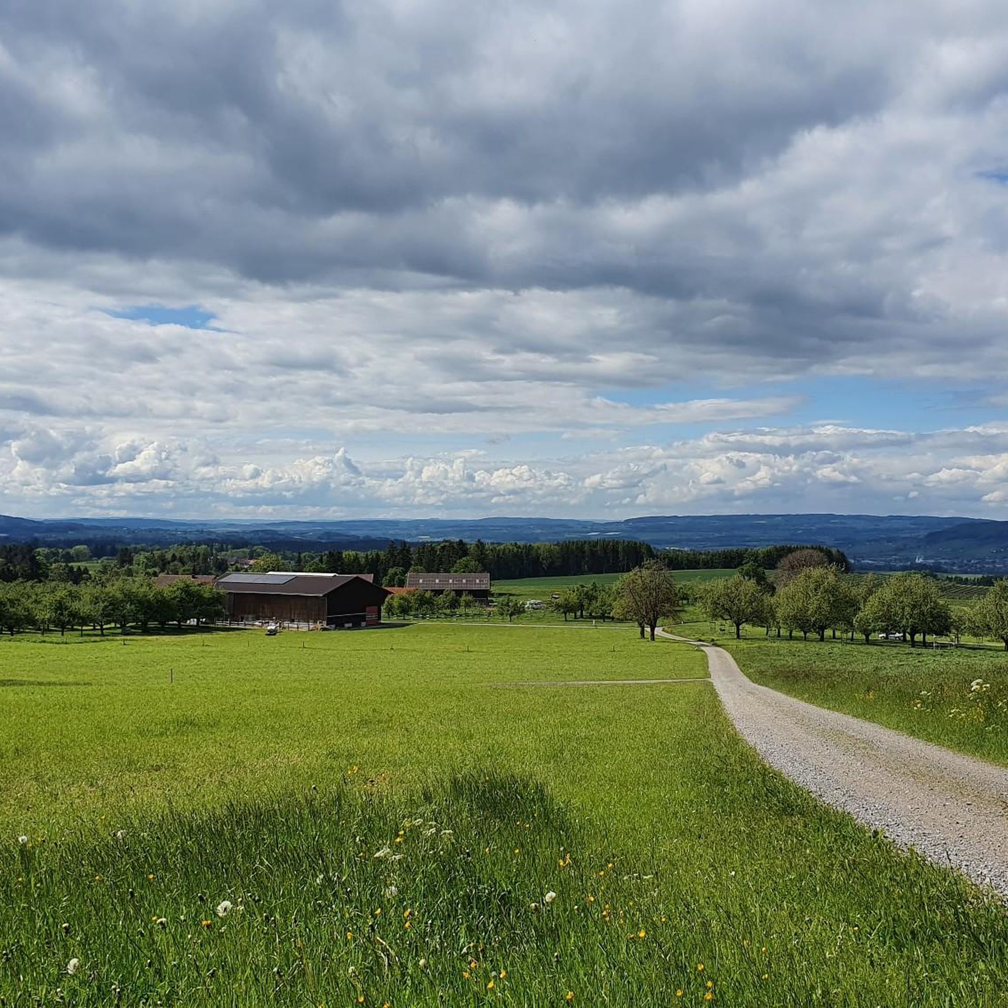
- The most popular hiking route is Waldwies hamlet – Barbecue area on the Panorama Trail…
Last updated: July 4, 2026
4.8
(35)
164
hikers
8.57km
02:26
190m
190m
Moderate hike. Good fitness required. Easily-accessible paths. Suitable for all skill levels.
4.8
(12)
77
hikers
7.99km
02:15
170m
170m
Moderate hike. Good fitness required. Easily-accessible paths. Suitable for all skill levels.

Sign up for free
4.7
(39)
138
hikers
10.7km
03:00
200m
200m
Moderate hike. Good fitness required. Easily-accessible paths. Suitable for all skill levels.
4.0
(2)
14
hikers
6.95km
01:56
130m
130m
Easy hike. Great for any fitness level. Easily-accessible paths. Suitable for all skill levels.
4.0
(3)
15
hikers
9.73km
02:43
180m
180m
Moderate hike. Good fitness required. Easily-accessible paths. Suitable for all skill levels.
Get access to more routes and recommendations from other explorers.
Sign up for free
Already have an account?
Our route recommendations are based on thousands of hikes, rides, and runs completed by other people on komoot.
Start today with a free account
Your next adventure awaits.
Login or Signup

Other adventures around Schönholzerswilen

Tips from the Community

Is actually only worth it if you are there anyway. The best thing is the view from the opposite slope.
0
1

The farm shop and museum are open daily and free of charge. The farm shop offers a variety of products, including food (fruit bread, dried fruit, spirits, etc.), gifts, and floral arrangements. While small, both the shop and the museum are charmingly designed and tastefully furnished. The museum features historical exhibits on agriculture, school life, everyday life, and traditional crafts. The "Spatzennest" holiday apartment is available for rent on the top floor.
0
0

It climbs steeply on both sides, a bit difficult for inexperienced hikers. The route over Leuberg is a long flight of steps and not always clear.
0
0
nice to stay
0
0
Sausages and bread are available at the Wuppenau village market. Coffee and cake in the Jlge or on the Nollen. Everything is close to the hike 😄
0
0

Danger of rockfall (signposted) access to the rock face is not advisable.
1
0

A very varied and interesting hike with good signage and paths
0
1
Frequently Asked Questions
How many hiking trails are available around Schönholzerswilen?
There are over 770 hiking routes in the Schönholzerswilen area, catering to various skill levels. You'll find a wide selection, from easy strolls to more challenging treks, ensuring there's something for everyone.
What kind of terrain can I expect on hikes in Schönholzerswilen?
The landscape around Schönholzerswilen is diverse, shaped by glacial activity. You can expect to hike through cool forests, along lively streams like the Itobelbach, over bridges, and across open countryside with cultivated fields. The region's ridge-top location also provides varied topography and scenic views.
Are there any family-friendly hiking options in Schönholzerswilen?
Yes, Schönholzerswilen offers many family-friendly routes. With over 430 easy trails, you'll find plenty of options suitable for all ages. For example, the Ridge trail in the middle of the forest – Bruderloch Cave loop from Schönholzerswilen is an easy 6.7 km path that takes less than two hours to complete.
What are some interesting natural features or landmarks to see while hiking?
The region is rich in natural beauty and historical sites. You can explore the Hohlen Stein Gorge or the Bachtobel Schönholzerswilen for impressive geological formations. The Nollen viewpoint offers expansive views, and you might also encounter protected habitats with diverse wildlife.
Are there any circular walks around Schönholzerswilen?
Yes, many routes in the area are circular, allowing you to start and end at the same point. A popular choice is the Waldwies hamlet – Barbecue area on the Panorama Trail loop from Wuppenau, a moderate 8.3 km trail offering panoramic views.
What do other hikers enjoy most about hiking in Schönholzerswilen?
The komoot community highly rates the trails around Schönholzerswilen, with an average score of 4.6 stars from over 1700 reviews. Hikers often praise the diverse landscapes, well-maintained paths, and the blend of natural beauty with historical elements like old castle ruins and geological sites.
Are there any historical sites or ruins accessible via hiking trails?
Absolutely. The region has a rich history. You can hike the Bruderloch Cave – Anwil Castle Ruins loop from Schönholzerswilen, which takes you past the mysterious Bruderloch cave and the remnants of Anwil Castle. Another option is the Last Ruin – Stream bridge loop from Kradolf-Schönenberg, which also explores historical ruins.
Can I find routes with viewpoints offering scenic vistas?
Yes, the ridge-top location of Schönholzerswilen means many trails offer excellent viewpoints. The Nollen – View of the Alps loop from Wuppenau is specifically known for its views towards the Alps and includes the Nollen viewpoint itself.
Are there any trails that highlight the geology of the area?
The Geo-Route Schönholzerswilen is an educational circular trail specifically designed to highlight the geological, historical, and biological aspects of the local landscape. This route often includes points of interest like the Bruderloch cave, which is speculated to have been a place of refuge for generations.
What is the best time of year to go hiking in Schönholzerswilen?
The region offers enjoyable hiking experiences throughout much of the year. Spring and autumn provide pleasant temperatures and vibrant scenery, while summer is ideal for longer days. Even in winter, some trails remain accessible, offering a different, serene perspective of the landscape.
Are there any trails that pass by lakes or ponds?
Yes, the Thurgau region is known for its small lakes and ponds. You can find trails that lead past picturesque water bodies like the Bommer Weiher Water Lilies or the Bettenauer Pond, offering tranquil spots for a break.
Most popular routes around Schönholzerswilen
Most popular attractions around Schönholzerswilen

Get inspired with the komoot mobile app


Explore more
Browse the best Hikes in other regions.
