The best walks and hikes around Cavargna
4.5
(2962)
14,922
hikers
316
hikes
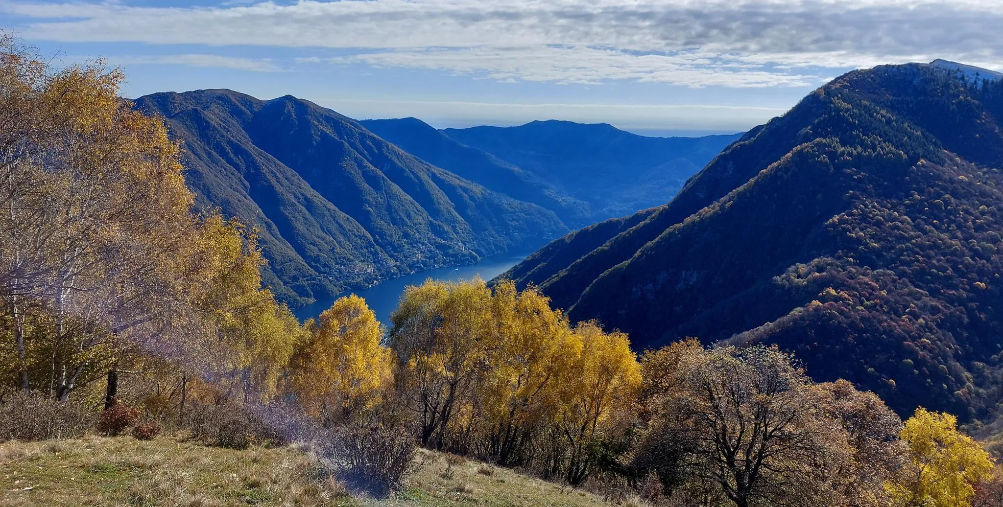
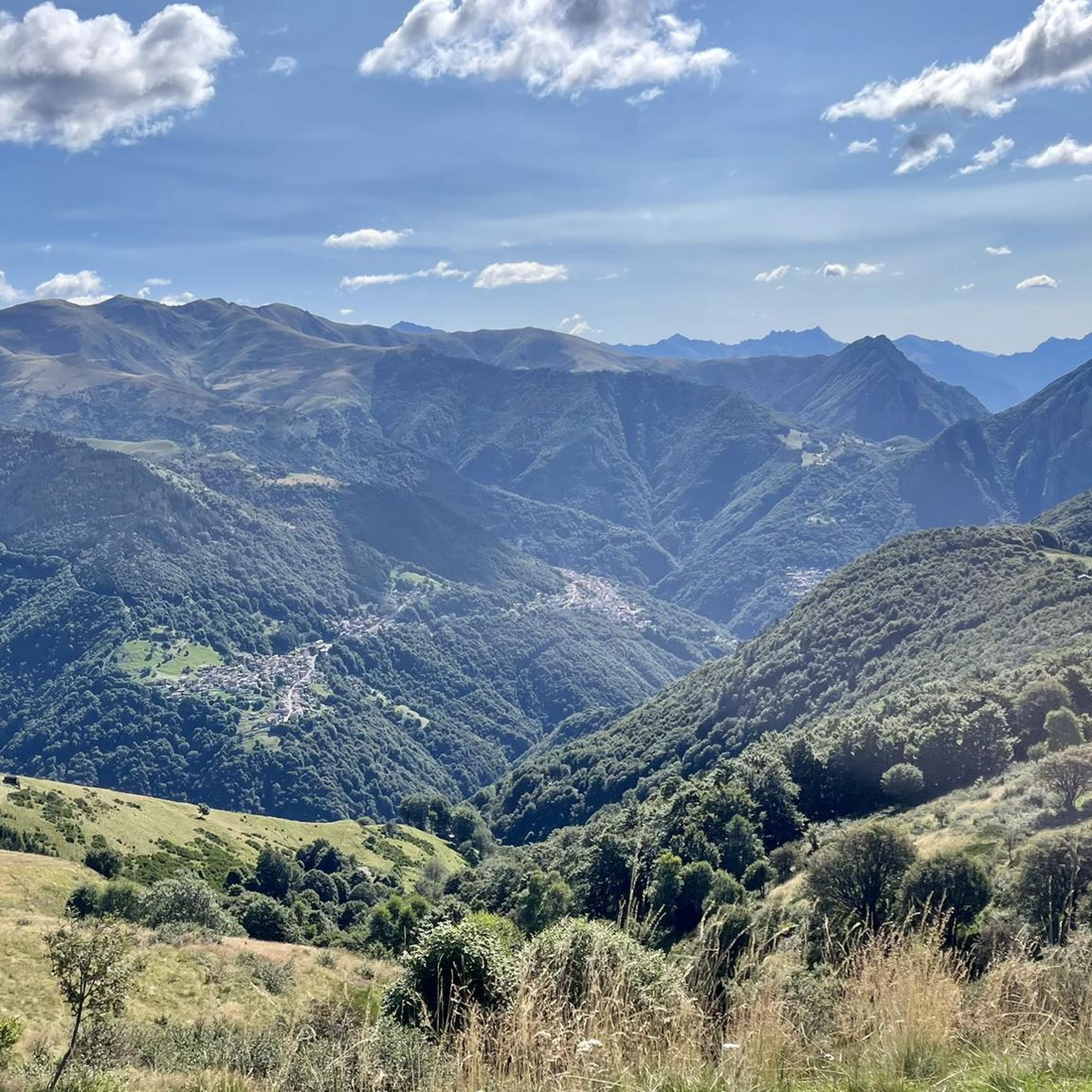
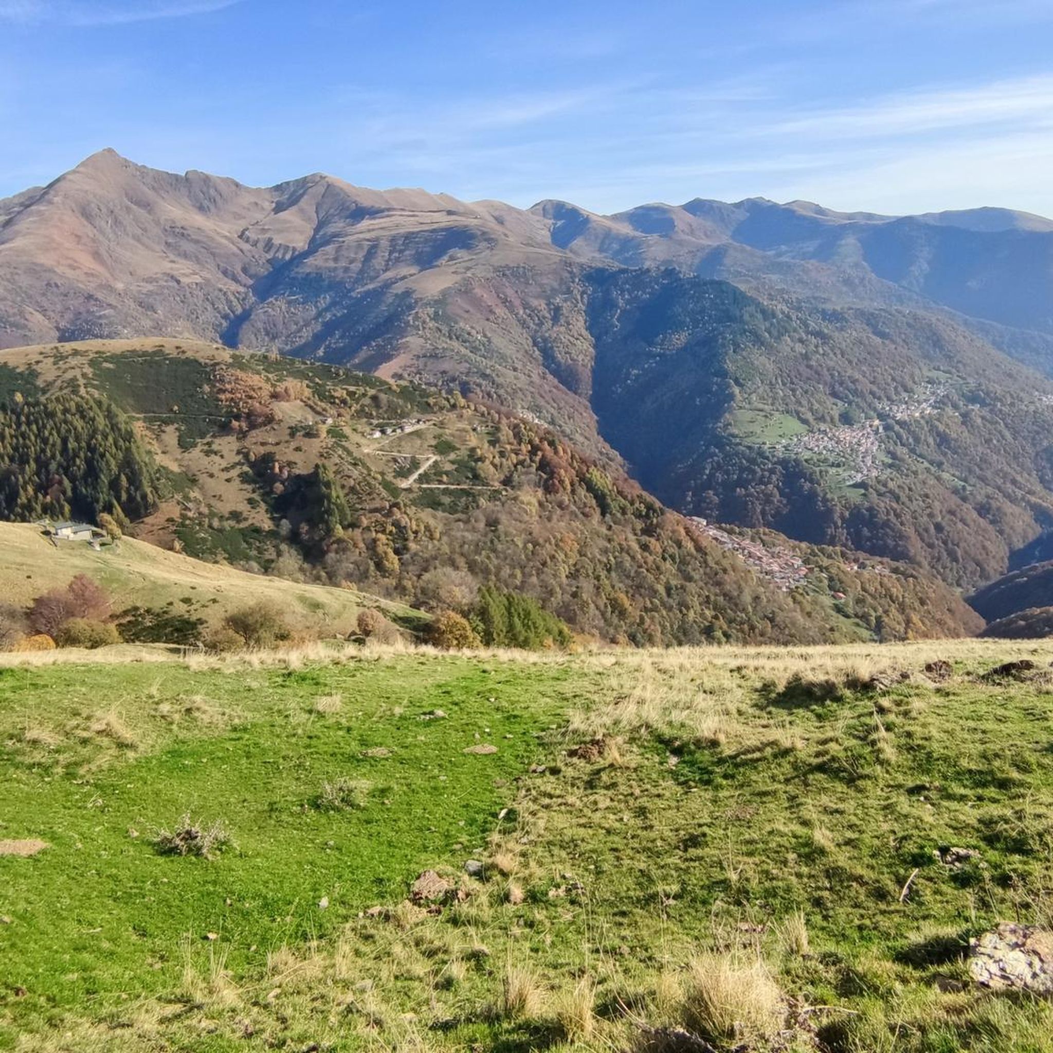
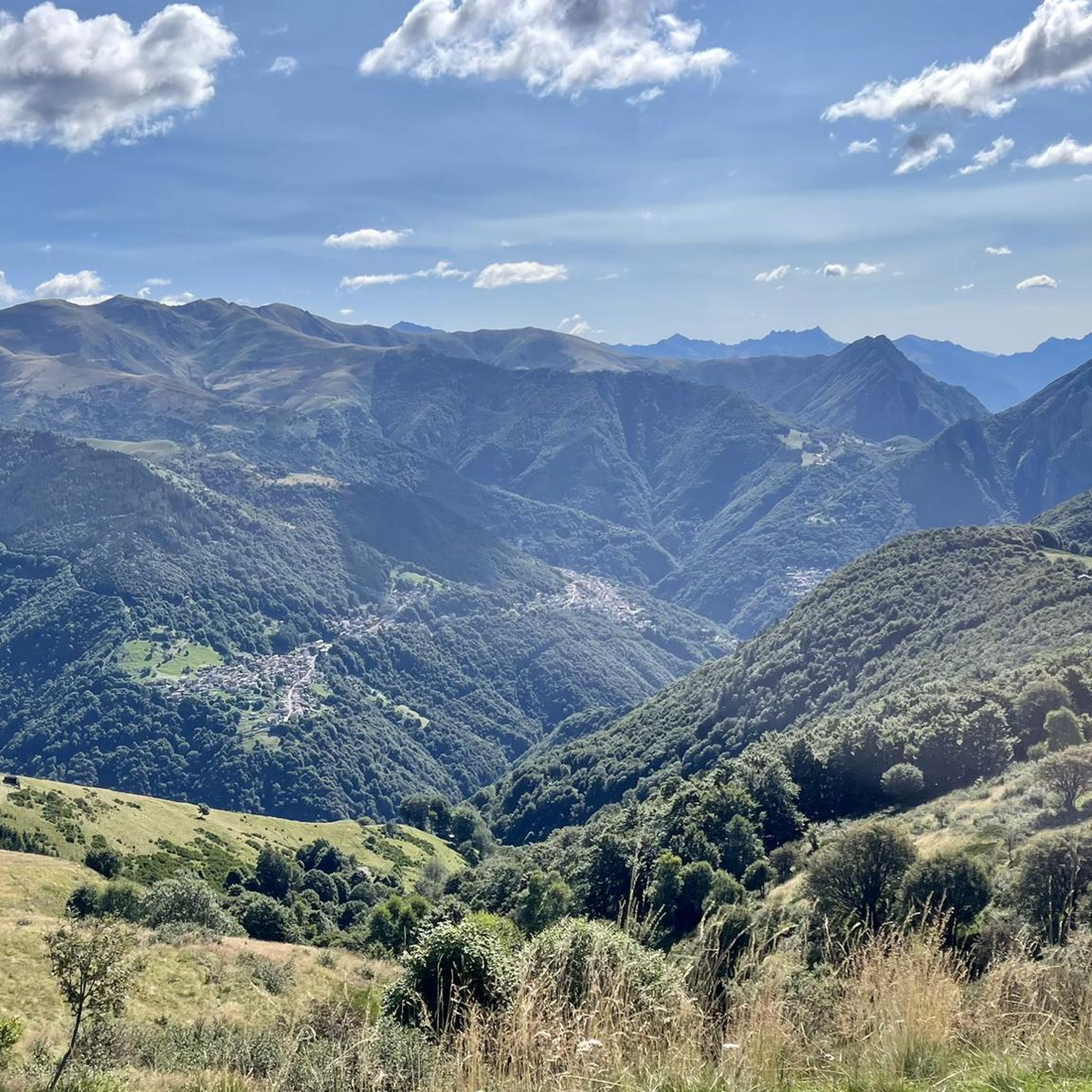
Hiking around Cavargna offers diverse terrain within the Alpi Lepontine, a mountainous region bordering Switzerland in Lombardy, Italy. The area is characterized by peaks exceeding 2000 meters, including prominent features like Pizzo di Gino and Monte Garzirola. The Val Cavargna provides a network of trails through varied landscapes, from valley floors to high alpine environments. This highest municipality in the province of Como features significant elevation changes and panoramic views.
Best hiking trails around Cavargna
- The most popular hiking route…
Last updated: September 26, 2026
4.7
(15)
34
hikers
6.71km
02:39
510m
510m
Hike the moderate 4.2-mile Monte Cucco loop from Seghebbia, gaining 1676 feet in under 3 hours, offering diverse terrain and views.
5.0
(5)
32
hikers
17.1km
06:29
1,040m
1,040m
This difficult 10.6-mile hike from Cavargna offers panoramic views, varied terrain, and mountain huts along the Italian-Swiss border.

1
hikers
15.3km
07:02
1,160m
1,160m
Hike the difficult 9.5-mile Cima di Fiorina and Torrione di Valsolda Loop for panoramic views and a challenging ascent.
2
hikers
13.0km
06:49
1,210m
1,210m
Hard hike. Very good fitness required. Sure-footedness, sturdy shoes and alpine experience required.
2
hikers
16.8km
07:13
980m
980m
Border-hopping hike from historic San Lucio Pass to Monte Garzirola's summit with Alpine panoramas.
Get access to more routes and recommendations from other explorers.
Already have an account?
Our route recommendations are based on thousands of hikes, rides, and runs completed by other people on komoot.
Start today with a free account
Your next adventure awaits.

Other adventures around Cavargna

Tips from the Community

beautiful peak towards Denti Della Vecchia, surrounded by mountain pines
0
0

kind and helpful owners, they also accept euros
0
1

Unfortunately abandoned, but the view is worth the climb
0
0

The Cima di Fiorina or Fojorina (1,810 m) is a mountain in the Como Prealps in the Lugano Prealps. It is located on the border between Italy and Switzerland. It is a well-known hiking destination and is often crossed on the itinerary from San Lucio to Capanna Pairolo.
0
0

A mountain on the border between Switzerland and Italy that offers an amazing view.
0
0
A pass located between Italy and Switzerland, from here you have a spectacular panorama.
0
0

Magnificent loop hike, but not for everyone. Departure and arrival: Alpe di Giumello (paid access with parking meter immediately after Carena. See all the details: https://claudioermanni.ch/escursioni.htm#pizzodigino20230903
0
0
A beautiful circular excursion, easy and very panoramic, starting from Cimadera (see also https://claudioermanni.ch/escursioni.htm#fojorina20220327)
0
0
Frequently Asked Questions
What kind of hiking trails can I find in Cavargna?
Cavargna, nestled in the Alpi Lepontine, offers a wide variety of hiking trails. You'll find everything from easy strolls through the Val Cavargna to challenging alpine ascents reaching peaks over 2000 meters, like Pizzo di Gino and Monte Garzirola. There are over 300 routes available, catering to different fitness levels.
Are there any easy or family-friendly hiking options in Cavargna?
Yes, Cavargna has over 60 easy trails suitable for beginners or families. While specific family-friendly routes aren't detailed, the diverse terrain of the Val Cavargna includes paths through meadows and forests, offering gentler options. For a moderate loop that's accessible, consider the Monte Cucco – loop from Seghebbia.
Can I bring my dog on the hiking trails in Cavargna?
Generally, dogs are welcome on hiking trails in the Cavargna region. However, it's always advisable to keep them on a leash, especially in areas with livestock or protected wildlife. Be sure to check specific trail regulations or local signage, particularly within any nature reserves.
What are some notable natural features or landmarks to look out for while hiking?
The region is rich in natural beauty and historical points. You can explore the majestic Alpi Lepontine, with prominent peaks like Pizzo di Gino and Monte Garzirola. The historic San Lucio Pass offers stunning views and a refuge. For unique natural sights, consider visiting the Tobi Waterfall or the Sanagra Stream Waterfalls and Sass Curbee. The nearby Lake Piano is also a natural oasis.
Are there any circular hiking routes in Cavargna?
Yes, Cavargna offers several circular routes. A popular moderate option is the Monte Cucco – loop from Seghebbia. For a more challenging experience, you could try the Pizzo di Gino – loop starting from Cavargna, which features significant elevation gain.
What do other hikers say about the trails in Cavargna?
The hiking trails in Cavargna are highly regarded by the komoot community, with an average rating of 4.6 stars from nearly 2,500 reviews. Hikers often praise the diverse landscapes, from valley floors to high alpine environments, and the well-marked paths that cater to various ability levels.
Are there any waterfalls I can visit while hiking in Cavargna?
Yes, the Cavargna area features beautiful waterfalls. You can discover the Tobi Waterfall or the Sanagra Stream Waterfalls and Sass Curbee, which are popular natural attractions in the vicinity.
What is the best time of year to go hiking in Cavargna?
The best time to hike in Cavargna generally depends on the desired experience. Spring and autumn offer pleasant temperatures and vibrant scenery, while summer provides warmer weather for higher alpine routes. Some higher trails, especially those exceeding 2000 meters, may have snow well into late spring or early summer, and winter hiking is possible but requires appropriate gear and experience due to snow and ice conditions.
Are there any long-distance or multi-day hiking opportunities?
Yes, Cavargna is part of longer trekking routes. The 'Sentiero delle 4 Valli' (Four Valleys Trail) is a 50 km route that traverses four valleys and can be completed in about three days. Additionally, Cavargna is integrated into the broader Lugano Trekking network, offering spectacular high-altitude routes.
Are there places to eat or stay overnight along the trails?
Yes, for longer treks or challenging routes, refuges like Rifugio San Lucio at the San Lucio Pass provide essential amenities, including refreshments and lodging. These facilities make multi-day hikes more feasible and offer a welcome break during day trips.
How challenging are the difficult trails in Cavargna?
The difficult trails in Cavargna, such as the Monte Gazzirola Trail or the Pizzo di Gino – loop starting from Cavargna, involve significant elevation gains and cover considerable distances, often requiring 6-7 hours or more to complete. They are suited for hikers with very good fitness and sure-footedness, often traversing alpine terrain.
Is public transport available to reach hiking trailheads in Cavargna?
While Cavargna is somewhat isolated, contributing to its rustic charm, public transport options might be limited directly to all trailheads. It's advisable to research local bus schedules or consider driving to access specific starting points. The region's isolation means that some trailheads might be best reached by car.
Are there any historical sites or cultural points of interest along the trails?
Beyond natural beauty, Cavargna's trails offer glimpses into its history. The 'Iron Road' (La Via del Ferro) trail hints at the region's past mining and siderurgical activities. The San Lucio Pass is a historic border pass with a church, and you might encounter other historical ruins, such as those near the Franscinone Gorge.
Most popular attractions around Cavargna

Get inspired with the komoot mobile app


Explore more
Browse the best Hikes in other regions.
