The best walks and hikes around Bagnoli Irpino
4.3
(243)
798
hikers
23
hikes
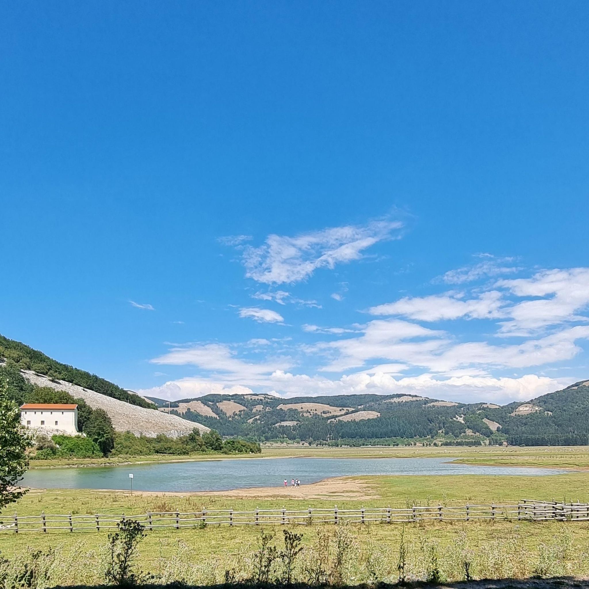
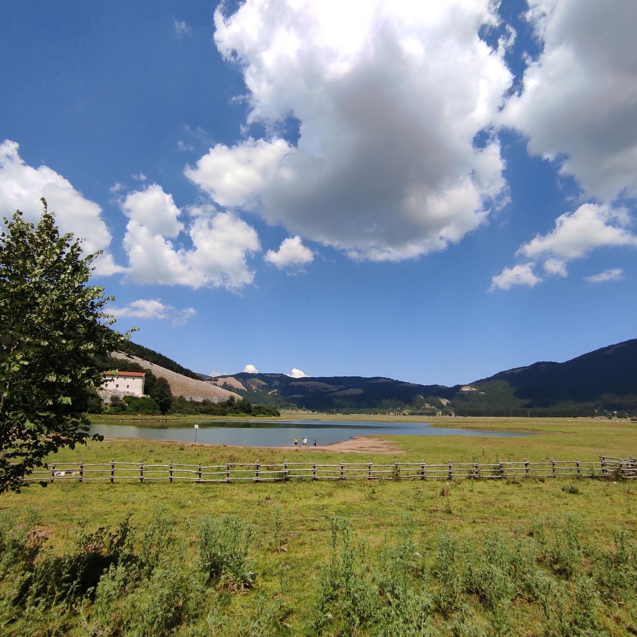
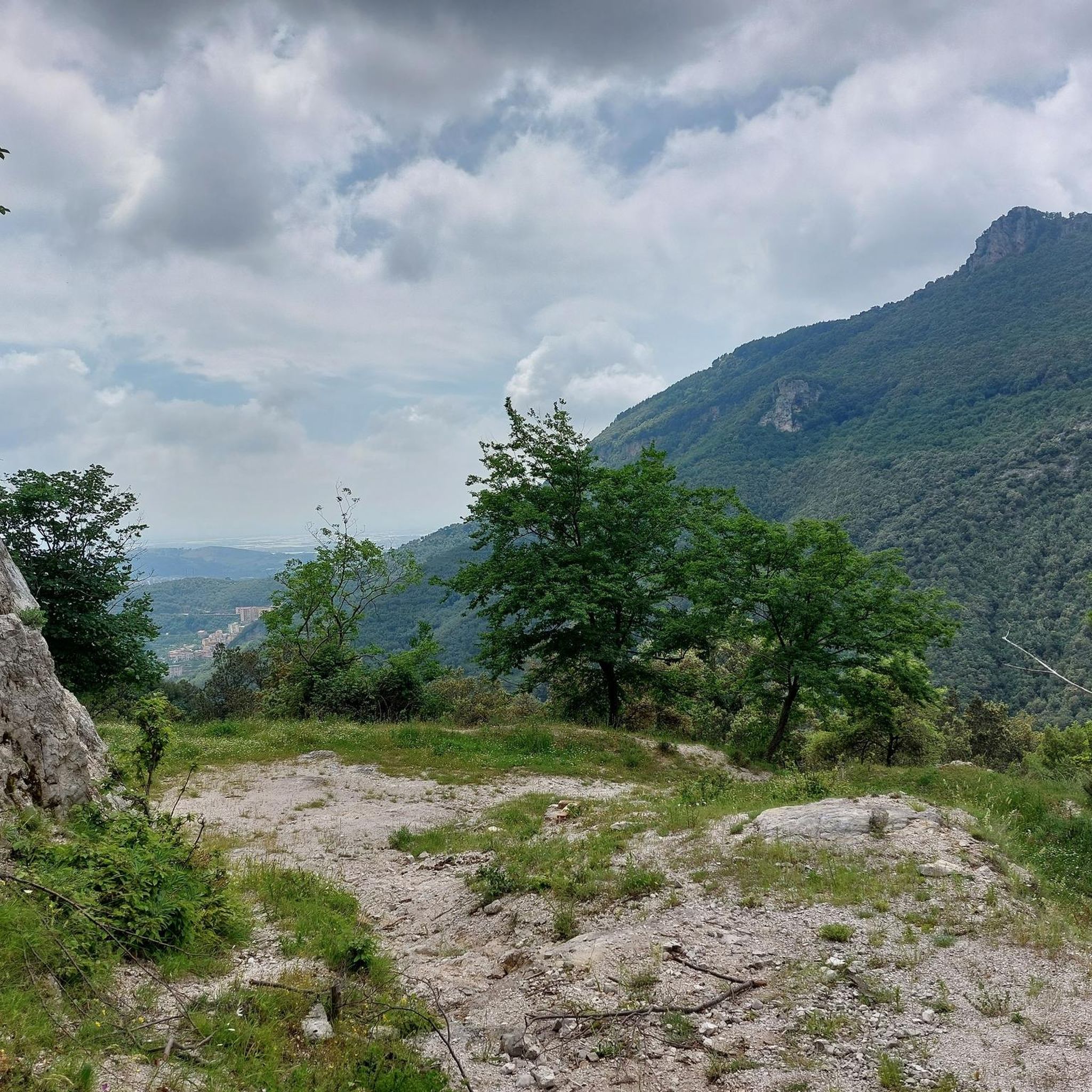
Hiking around Bagnoli Irpino offers diverse natural landscapes within Italy's Campania region. Situated in the Picentini Mountains Regional Park, the area features suggestive mountain terrain with peaks reaching up to 1700 meters. The Laceno plateau, with its karst lake, and extensive green walnut, chestnut, and beech forests provide varied environments for exploration. The region is also rich in water, with numerous streams and the Calore River contributing to its lush environment.
Best hiking trails around Bagnoli Irpino
- The most popular…
Last updated: July 9, 2026
4.5
(19)
50
hikers
9.15km
03:19
530m
530m
Hard hike. Good fitness required. Sure-footedness, sturdy shoes and alpine experience required.
4.4
(7)
19
hikers
Hard hike. Very good fitness required. Sure-footedness, sturdy shoes and alpine experience required.

Sign up for free
4.6
(14)
56
hikers
20.6km
06:05
620m
620m
Hard hike. Very good fitness required. Easily-accessible paths. Suitable for all skill levels.
4.6
(11)
44
hikers
12.8km
04:20
580m
580m
Moderate hike. Good fitness required. Mostly accessible paths. Sure-footedness required.
4.6
(12)
21
hikers
13.3km
04:57
570m
570m
Moderate hike. Good fitness required. Mostly accessible paths. Sure-footedness required.
Get access to more routes and recommendations from other explorers.
Sign up for free
Already have an account?
Our route recommendations are based on thousands of hikes, rides, and runs completed by other people on komoot.
Start today with a free account
Your next adventure awaits.
Login or Signup
Tips from the Community

On one of the peaks of Cervialto, there is the radio station of the Firefighters of the Lioni section. ... https://it.wikipedia.org/wiki/Monte_Cervialto
1
0
Cervialto represents the highest peak of the Picentini mountains and is the fourth highest peak in Campania after La Gallinola in Matese (1923 meters), Cervati (1899 meters) and Mutria (1823 meters), as well as the largest in the province of Avellino. The mountain extends between the municipalities of Calabritto and Bagnoli Irpino. The summit is the border point between the two municipalities. The characteristic summit sinkhole between the summit and the sub-peak falls within the municipality of Bagnoli Irpino (IGM 1:25,000). Cervialto is known above all thanks to its proximity to the Laceno plateau (Laceno lake), a well-known tourist destination, from which it is 3.6 km away. Cervialto is surrounded by Mount Rajamagra (1,667 m) where there are ski lifts, by Mount Cervarolo, by Mount Piscacca or Magnone, by Montagnone di Nusco, by Cervarulo, by Calvello and, on the Salernitano side, by the Polveracchio massif. The Colle del Leone, the Ripe del Moggio, the Montagna Grande and the Colle del Sagrestano form the backdrop to the series of "high mountains". On one of the peaks, there is the radio station of the Firefighters of the Lioni section. ... https://it.wikipedia.org/wiki/Monte_Cervialto
1
0
I returned on June 29, 2025 ... at the end of the hike there were at least 30 cars parked along the road. I believe not in a regular way.
0
0
Take the path on the right to go down to the Tannera Gorges. Otherwise, going straight you arrive at the panoramic point where you can see them from above.
2
0
It is possible to reach one of the Tannera gorges without necessarily having to walk in the river. https://www.youtube.com/watch?v=TWD8QIXSmgg
2
0

The Grotta degli Angeli opens with a small resurgence along the southern slope of the same relief that hosts the grotta di strazzatrippa, the two caves are connected to each other. The entrance at about 1100 m above sea level consists of a small narrow passage of interstratum passing through a first fairly wide straight section that ends with the fork of the cavity into two roughly parallel branches.
0
0

Unfortunately the Canadian shelter was set on fire. When I passed by, all that was left were a few burnt wooden planks and shards of glass.
1
0

The marked path here runs IN a stream bed and is very difficult to walk depending on the water level. You have to cross the stream again and again and it takes a lot of time.
0
0
Frequently Asked Questions
How many hiking trails are available in Bagnoli Irpino?
Bagnoli Irpino offers a wide variety of hiking experiences, with over 20 routes available. These trails cater to different skill levels, from easy strolls to challenging mountain ascents within the Picentini Mountains Regional Park.
Are there any easy or beginner-friendly hiking routes in Bagnoli Irpino?
Yes, while many trails are moderate to difficult, there are at least 3 easy routes suitable for beginners or those looking for a relaxed walk. These often explore the gentler areas around the Laceno plateau or lower forest paths.
Can I find family-friendly hikes around Laceno and Bagnoli Irpino?
Absolutely. The Laceno plateau, with its beautiful lake and surrounding forests, offers several family-friendly options. These trails are generally less strenuous and allow for enjoyable outings with children, providing opportunities to explore nature without significant elevation changes.
Are dogs allowed on the hiking trails in Monti Picentini Regional Park?
Dogs are generally permitted on trails within the Monti Picentini Regional Park, but it is crucial to keep them on a leash to protect local wildlife and ensure the safety of other hikers. Always clean up after your pet.
Are there any circular hiking routes in the Bagnoli Irpino area?
Yes, many of the region's trails are designed as circular routes, allowing you to start and end at the same point. For example, the difficult Rifugio Canadese – loop tour in the Parco Regionale dei Monti Picentini is a popular choice, as is the moderate Down in the Tannera Gorge – Grotta degli Angeli loop from Colle del Leone.
What kind of natural attractions or landmarks can I see while hiking?
The region is rich in natural beauty. You can encounter stunning mountain peaks like Monte Cervialto, explore fascinating caves such as The “Grotta Profunnata” or Grotta dei Candraloni, and discover picturesque waterfalls like Acquabianca Waterfall and The Bard'natore Waterfall. The Laceno Lake and its plateau are also prominent features.
What is the best time of year to go hiking in Bagnoli Irpino?
The best time to hike in Bagnoli Irpino is typically from spring through autumn. Spring brings lush greenery and blooming wildflowers, while autumn offers spectacular foliage, especially in the extensive walnut, chestnut, and beech forests. Summer is also popular, particularly at higher altitudes where temperatures are cooler. Winter hiking is possible, especially around Laceno, which is a ski resort, but requires appropriate gear and awareness of snow conditions.
What do other hikers say about the trails in Bagnoli Irpino?
The trails in Bagnoli Irpino are highly rated by the komoot community, with an average score of 4.3 stars from over 200 reviews. Hikers frequently praise the diverse landscapes, from the serene Laceno Lake to the challenging mountain ascents, and the rich natural environment of the Picentini Mountains Regional Park.
Are there opportunities to see wildlife in the Monti Picentini Regional Park?
Yes, the Picentini Mountains Regional Park is a vital habitat for various wild animals. Hikers might spot wild pigs, badgers, foxes, and numerous birds of prey. With a bit of luck and patience, you might even catch a glimpse of wolves, which inhabit the more secluded areas of the park.
Is public transport available to reach trailheads around Laceno?
Public transport options to reach the Laceno area from Bagnoli Irpino can be limited, especially outside of peak tourist seasons. It's advisable to check local bus schedules in advance or consider driving to trailheads, as this offers more flexibility for exploring the diverse routes.
Where can I find parking for hiking trails near Laceno?
Parking is generally available at key access points around the Laceno plateau, particularly near the Villaggio Laceno and the ski lift areas (Parcheggio Seggiovie). Some trailheads, like the one for the Start of the Final Section loop from Parcheggio Seggiovie, have dedicated parking facilities. It's always a good idea to arrive early during busy periods.
Are there any challenging hikes for experienced trekkers?
Certainly. Bagnoli Irpino is home to several difficult trails that will test experienced trekkers. Routes like From Villaggio Laceno to Monte Cervialto – loop in the Parco dei Monti Piacentini involve significant elevation gain and cover long distances, offering rewarding panoramic views from mountain peaks.
What are the typical trail surfaces like in the Monti Picentini?
The trail surfaces in the Monti Picentini vary widely. You'll encounter well-trodden forest paths through extensive beech and chestnut woods, rocky mountain trails, and sometimes more technical sections, especially on ascents to higher peaks. Paths around the Laceno plateau tend to be smoother, while higher routes can be rugged and uneven.
Most popular attractions around Bagnoli Irpino

Get inspired with the komoot mobile app


Explore more
Browse the best Hikes in other regions.
