The best walks and hikes around Schönbrunner Wald
4.7
(1659)
5,936
hikers
54
hikes
Hiking around Schönbrunner Wald offers varied terrain, from accessible paths to routes requiring good fitness. The region is characterized by picturesque forest settings and features notable peaks such as the Schönbrunner Berg (241 m), Lusen Summit, and Great Kanzel Summit. Hikers can experience elevation gains and diverse landscapes, including dense woodlands and open areas.
Best hiking trails around Schönbrunner Wald
- The most popular hiking route is Along the mountain stream to the meeting place, a 7.4 miles (11.9 km)…
Last updated: October 8, 2026
4.8
(148)
515
hikers
11.9km
03:37
410m
410m
Moderate hike. Good fitness required. Mostly accessible paths. Sure-footedness required.
4.7
(41)
119
hikers
Easy hike. Great for any fitness level. Easily-accessible paths. Suitable for all skill levels.

4.9
(16)
100
hikers
13.9km
04:30
580m
580m
Hard hike. Good fitness required. Sure-footedness, sturdy shoes and alpine experience required.
4.8
(292)
901
hikers
15.1km
04:48
450m
450m
Hard hike. Good fitness required. Sure-footedness, sturdy shoes and alpine experience required.
4.8
(46)
137
hikers
Hard hike. Good fitness required. Sure-footedness, sturdy shoes and alpine experience required.
Get access to more routes and recommendations from other explorers.
Already have an account?
Our route recommendations are based on thousands of hikes, rides, and runs completed by other people on komoot.
Start today with a free account
Your next adventure awaits.
Popular around Schönbrunner Wald
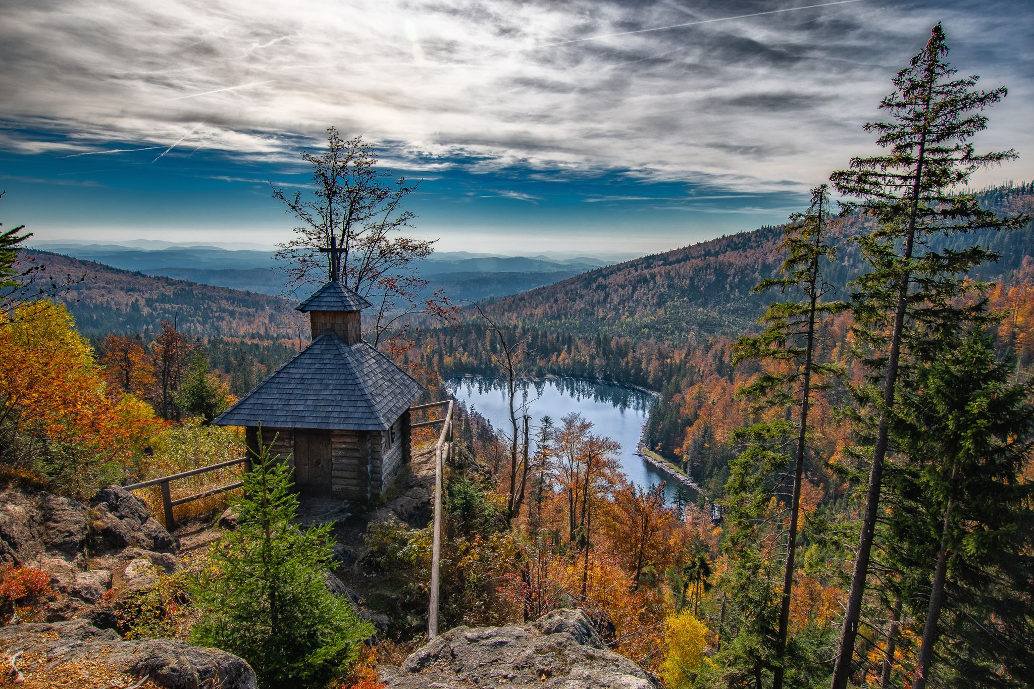
Diverse hiking in the Bavarian Forest National Park
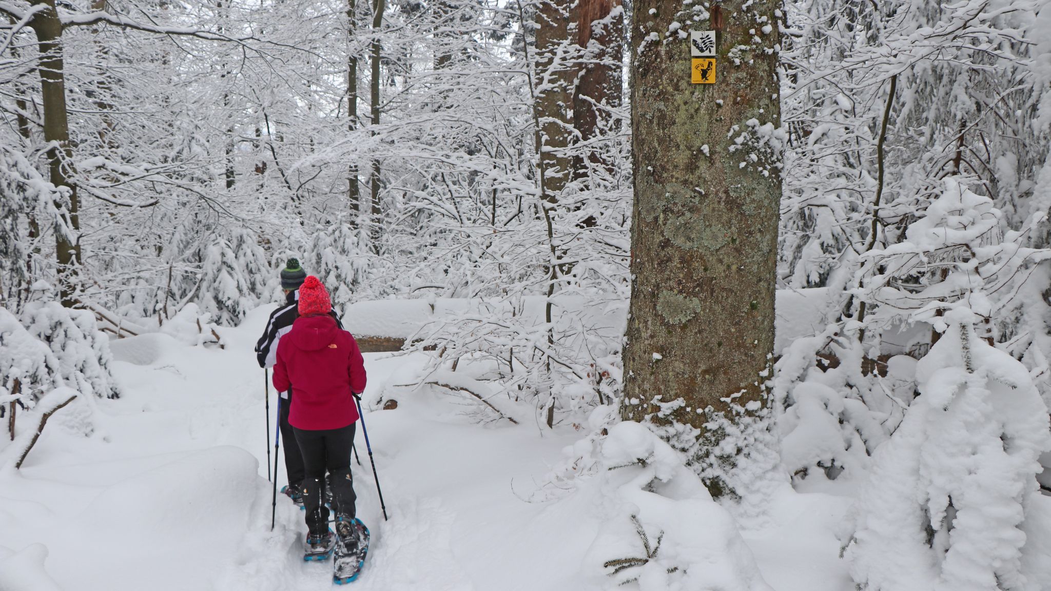
On snowshoes in the Bavarian Forest National Park

Family-friendly hikes in the Bavarian Forest National Park
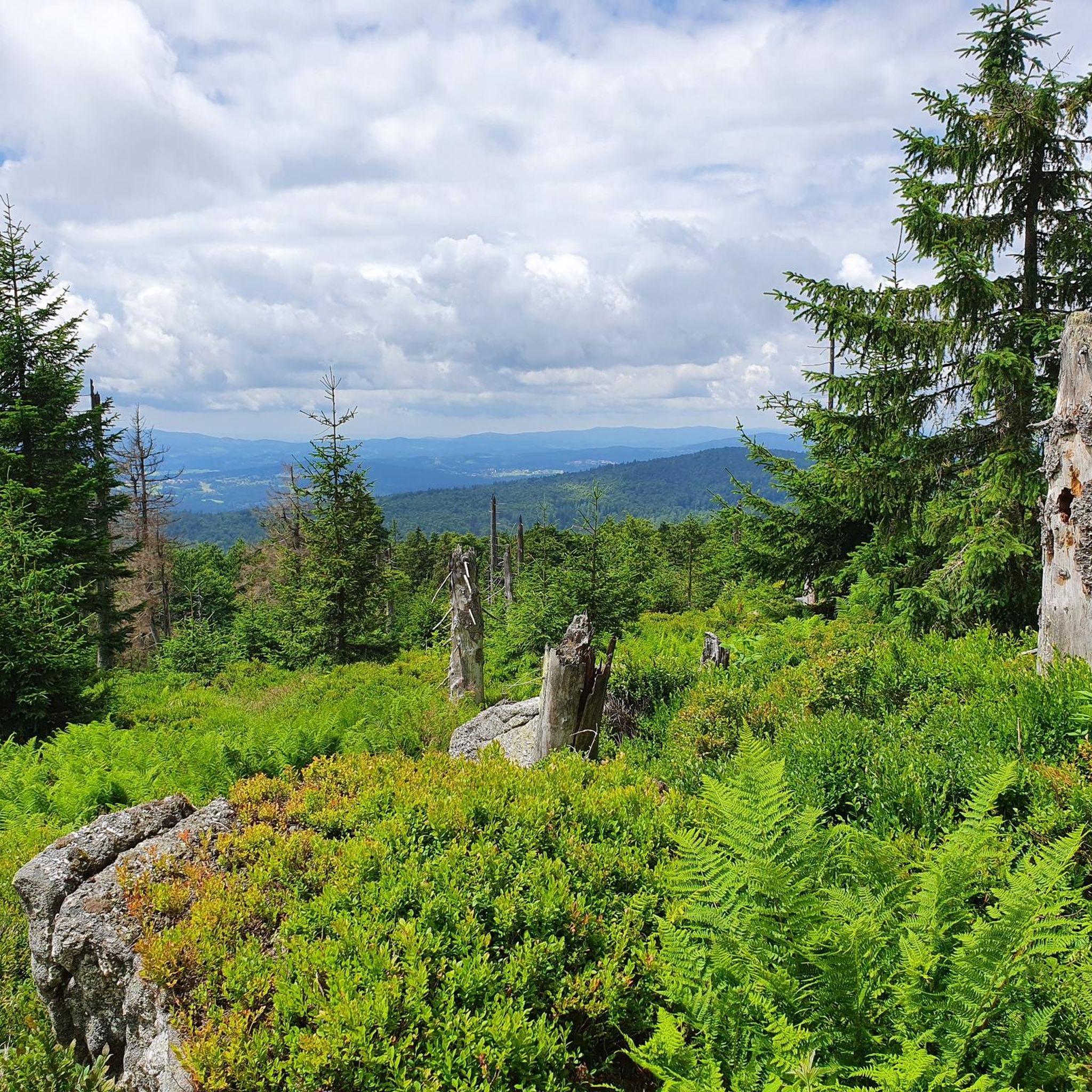
MTB Trails around Schönbrunner Wald
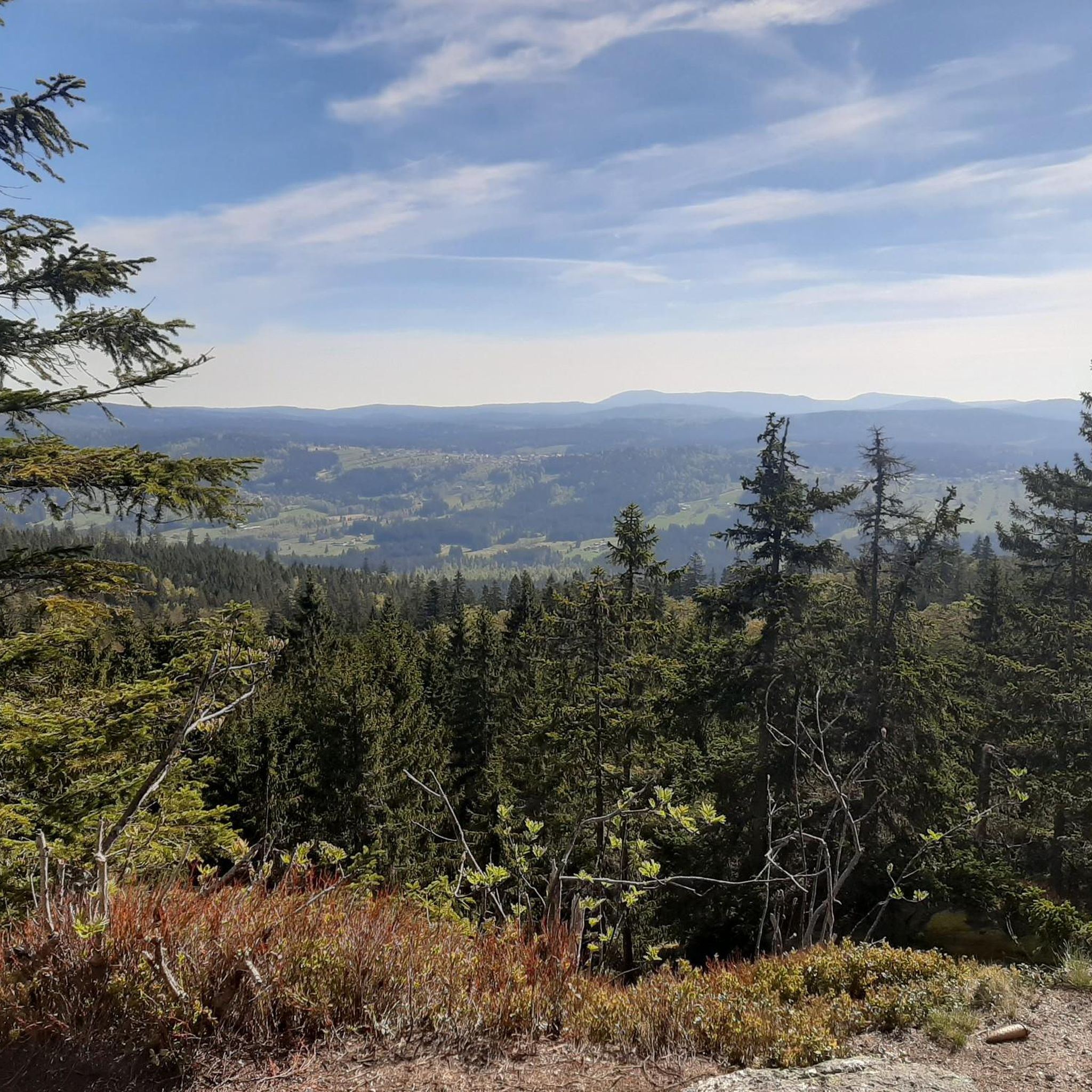
Cycling around Schönbrunner Wald
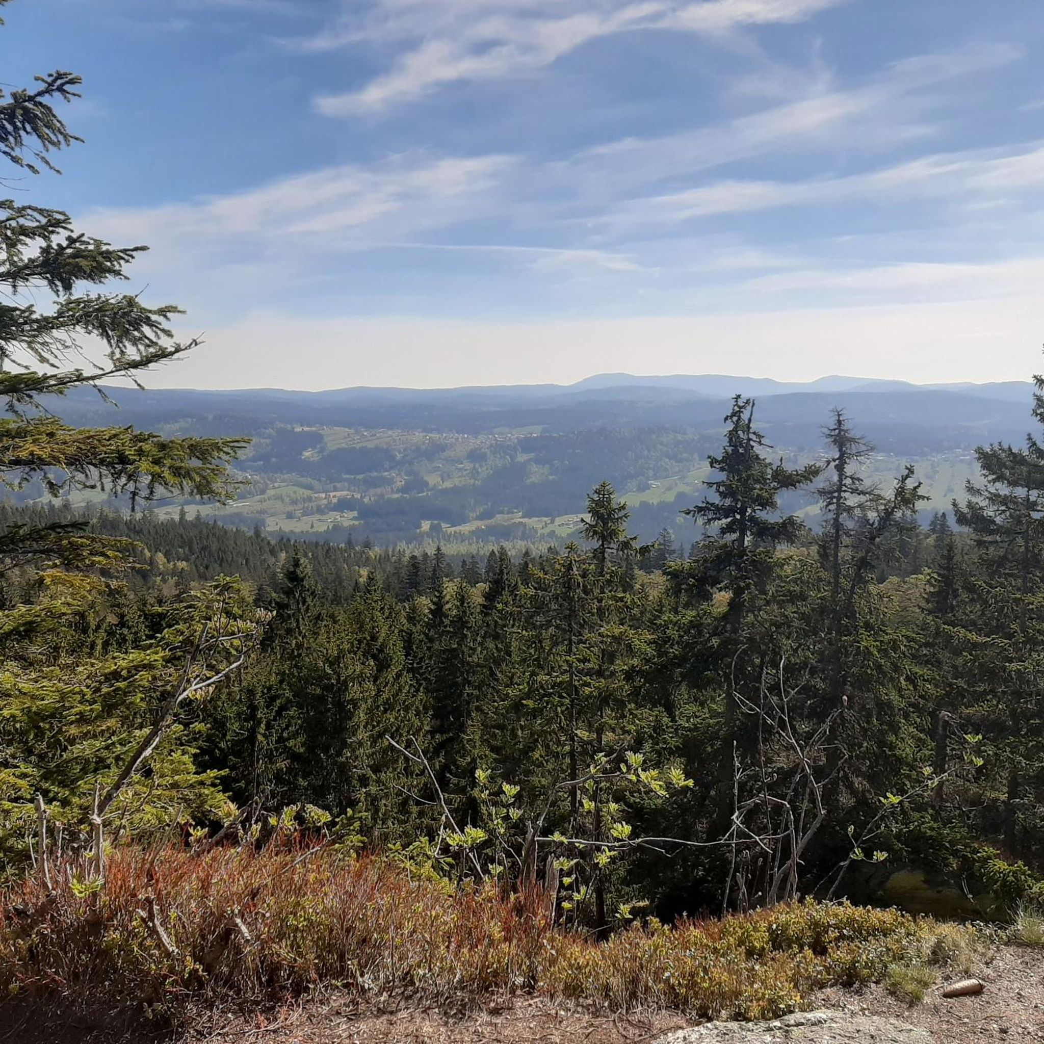
Running Trails around Schönbrunner Wald
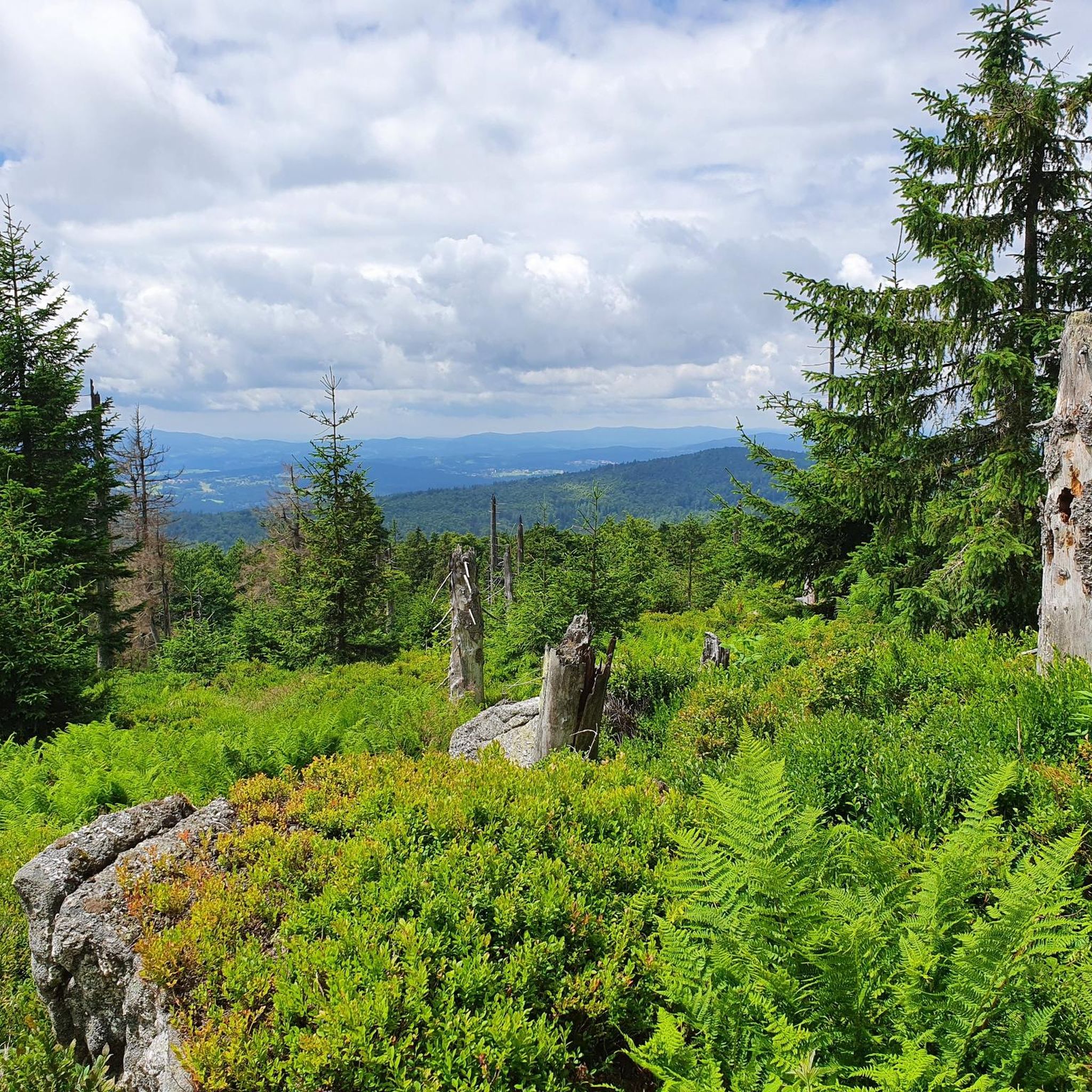
Road Cycling Routes around Schönbrunner Wald
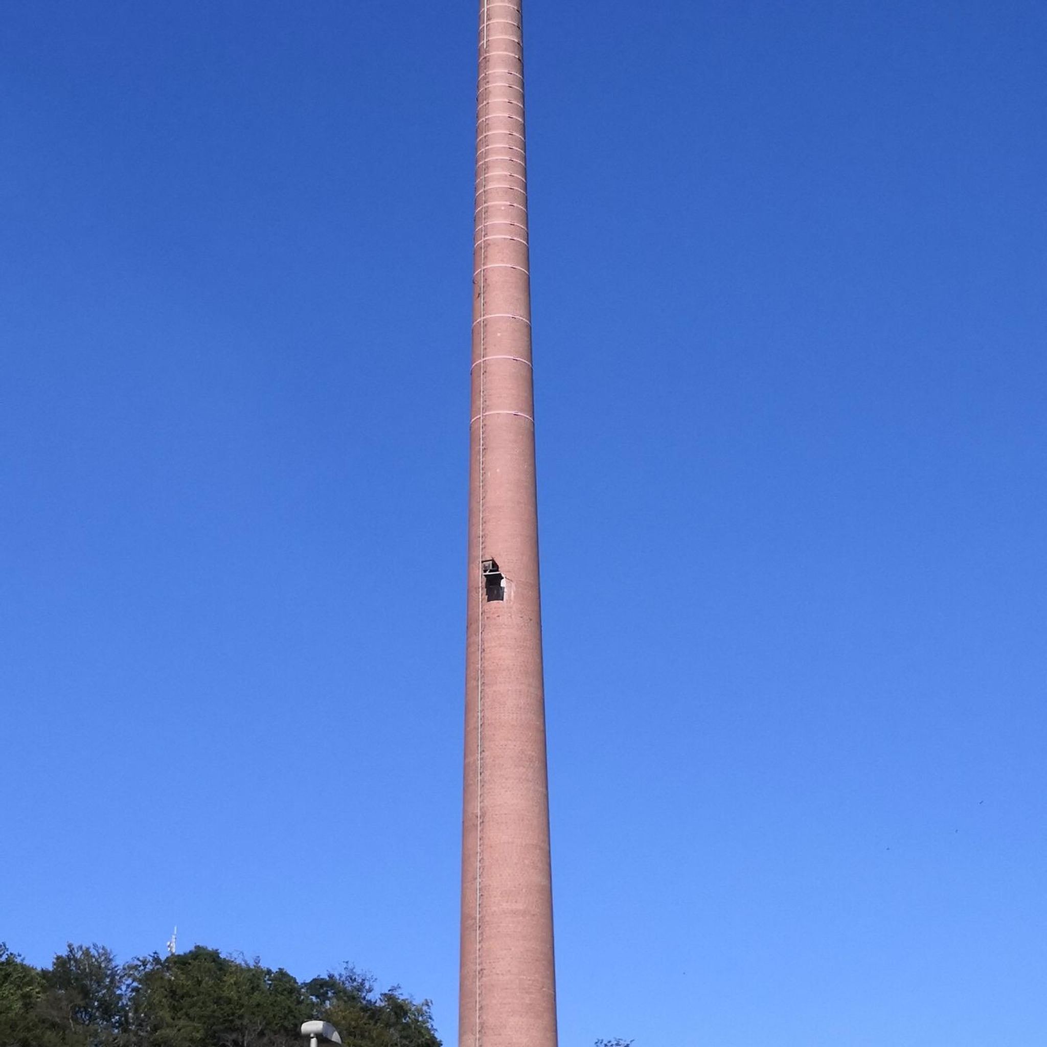
Gravel biking around Schönbrunner Wald

Mountain Hikes around Schönbrunner Wald
Other adventures around Schönbrunner Wald


Tips from the Community

From Waldhäuser via the Waldhäuser forest and Glasarche via Himmelsleiter to Lusen. Stop at the Lusenschutzhaus and back down to the Waldhäuser car park via Winterweg and road. Walking time approx. 2:15h. Always busy on weekends with good weather.
0
0


Block sea on Lusen > particularly valuable The entire summit area of Lusen is a large, exposed block sea. This largest block sea in the Bavarian Forest National Park was formed by Pleistocene erosion of the weathered crust and the disintegration of the underlying rock (fine- to medium-grained granite), primarily through frost weathering. In the upper area, the blocks disintegrated in situ without significant transport downhill. Thus, veins can be followed across the block sea along strike. The geotop was awarded the "Bavaria's 100 Most Beautiful Geotopes" seal of approval and is explained on-site with an information board. Further information at https://www.lfu.bayern.de/geologie/bayerns_schoenste_geotope/index.htm Bavarian State Office for the Environment (LfU). https://www.umweltatlas.bayern.de/standortauskunft/rest/reporting/sb_geotope/generate?additionallayerfieldvalue=272R016
1
0
Kleinalmeyerschloss, a geotop The formation of these steep granite cliffs is the result of increased Pleistocene erosion in a periglacial environment. Weakly textured fabric and platy jointing of the crystalline granite lead to mattress-like weathering bodies. The rock cliffs can only be reached via disused paths (core area of the National Park!). Bavarian State Office for the Environment (LfU). https://www.umweltatlas.bayern.de/standortauskunft/rest/reporting/sb_geotope/generate?additionallayerfieldvalue=272R014
0
0

very nice place for a short break
0
0
very nice shelter in the forest
0
0

fantastic forest path
0
0

hiking trail with snow and icicles
0
1
Frequently Asked Questions
How many hiking trails are available in Schönbrunner Wald?
Schönbrunner Wald offers a wide range of hiking opportunities, with over 50 trails to explore. These include 9 easy routes, 20 moderate paths, and 24 more challenging trails, catering to various fitness levels and preferences.
What kind of terrain can I expect on hikes in Schönbrunner Wald?
The terrain in Schönbrunner Wald is quite varied, ranging from easily accessible paths to more demanding routes. You'll find picturesque forest settings, with some circular hikes almost entirely within the woods. The region also features notable peaks like the Schönbrunner Berg, and some trails involve significant elevation gains, offering diverse landscapes.
Are there challenging hikes for experienced trekkers in Schönbrunner Wald?
Yes, Schönbrunner Wald provides challenging options for experienced hikers. There are 24 difficult routes available, some requiring good fitness, sure-footedness, and sturdy shoes. An example is the Rock Hiking Area – Great Kanzel Summit loop from Felswandergebiet, which covers 15 km with over 440 meters of elevation gain.
Are there family-friendly hiking options in Schönbrunner Wald?
Absolutely! Schönbrunner Wald has several easy routes suitable for families. A popular choice is the Circular route Crayfish - Family-friendly tour over stock and stone, an easy 2.3 km trail through the forest, perfect for a shorter outing with children.
Can I find circular hiking routes in Schönbrunner Wald?
Yes, many of the trails in Schönbrunner Wald are circular, allowing you to start and end at the same point without retracing your steps. Some of these routes lead almost entirely through the serene forest landscapes, providing an immersive nature experience.
What are some notable landmarks or viewpoints I can see along the trails?
The region offers several notable landmarks and viewpoints. You can hike to summits like the Lusen Summit or the Great Kanzel Summit for rewarding views. Additionally, natural monuments such as the Teufelsloch: granite boulder field with an underground stream and the Martinsklause Reservoir are points of interest along various routes.
What do other hikers say about the trails in Schönbrunner Wald?
The hiking trails in Schönbrunner Wald are highly regarded by the komoot community, with an impressive average rating of 4.7 stars from over 1400 reviews. Hikers often praise the varied terrain, picturesque forest settings, and the diverse options available for all ability levels.
Are there any less crowded hiking routes in Schönbrunner Wald?
While some routes are very popular, Schönbrunner Wald's extensive network of over 50 trails means you can often find quieter paths, especially on weekdays or by exploring some of the less-trafficked moderate or difficult routes. Exploring trails that don't lead directly to the most famous summits can also offer a more secluded experience.
What kind of flora and fauna can I expect to see while hiking?
Given its diverse natural landscapes, including dense forests and varied terrain, Schönbrunner Wald is rich in biodiversity. You can expect to encounter a variety of native flora, especially within the picturesque forest settings. While specific fauna sightings depend on luck and time of day, the natural environment supports a range of wildlife typical of Central European forests.
What is the best time of year to go hiking in Schönbrunner Wald?
Schönbrunner Wald offers enjoyable hiking experiences throughout much of the year. Spring brings fresh greenery, while autumn showcases vibrant foliage. Summer is ideal for longer excursions, and even winter hiking can be beautiful, though some trails might require appropriate gear for snow or ice. The varied terrain means you can find suitable routes in most seasons.
Are there any routes that follow a mountain stream?
Yes, you can find routes that incorporate water features. For example, the popular Along the mountain stream to the meeting place trail is a moderate 11.9 km hike that leads through varied forest landscapes and, as its name suggests, follows a mountain stream for part of its course.
Most popular routes around Schönbrunner Wald
Most popular attractions around Schönbrunner Wald

Get inspired with the komoot mobile app


Explore more
Browse the best Hikes in other regions.
