The best walks and hikes around Pratola Serra
4.2
(54)
279
hikers
37
hikes
Hiking around Pratola Serra offers varied terrain within the heart of Irpinia, in Italy's Campania region. The town is situated at 280 meters above sea level, characterized by a hilly landscape that integrates into the larger Valle del Sabato region. The Sabato River flows through the municipality, and the area is in close proximity to the Parco Regionale del Partenio, providing a natural setting for exploration.
Best hiking trails around Pratola Serra
- The most popular hiking route is Monte Vallatrone…
Last updated: May 11, 2026
4.0
(2)
9
hikers
12.8km
04:41
740m
740m
Hike a moderate 7.9-mile loop in Parco Regionale del Partenio to explore the Eremo di San Silvestro and the Ruins of the Incoronata.
3.8
(4)
7
hikers
14.6km
05:07
780m
780m
The Monte Vergine Loop from Ospedaletto d'Alpinolo is a difficult 9.1-mile hike with 2571 feet of gain, offering panoramic views.

Sign up for free
7
hikers
17.9km
06:06
850m
850m
This difficult 11.1-mile hike from Summonte covers 2804 feet of elevation gain, offering panoramic views from Toppa Riviezzo and Iesco Bianc
16.2km
06:02
980m
980m
Hard hike. Very good fitness required. Mostly accessible paths. Sure-footedness required.
5.0
(2)
4
hikers
14.0km
05:11
710m
710m
Hard hike. Very good fitness required. Mostly accessible paths. Sure-footedness required.
Get access to more routes and recommendations from other explorers.
Sign up for free
Already have an account?
Our route recommendations are based on thousands of hikes, rides, and runs completed by other people on komoot.
Start today with a free account
Your next adventure awaits.
Login or Signup

Tips from the Community


As a patron saint, this hermitage has a name that is on everyone's lips, but probably only a few people will know the person behind it: the feast day of Saint Silvestro is on December 31st. He lived at the end of the third and beginning of the fourth century and was bishop of Rome when Emperor Constantine - later generations gave him the nickname "the Great" - recognized Christianity as a religion with the so-called "Edict of Tolerance" of Milan, and thus - at least temporarily - the period of bloody persecution of Christians ended.
0
0

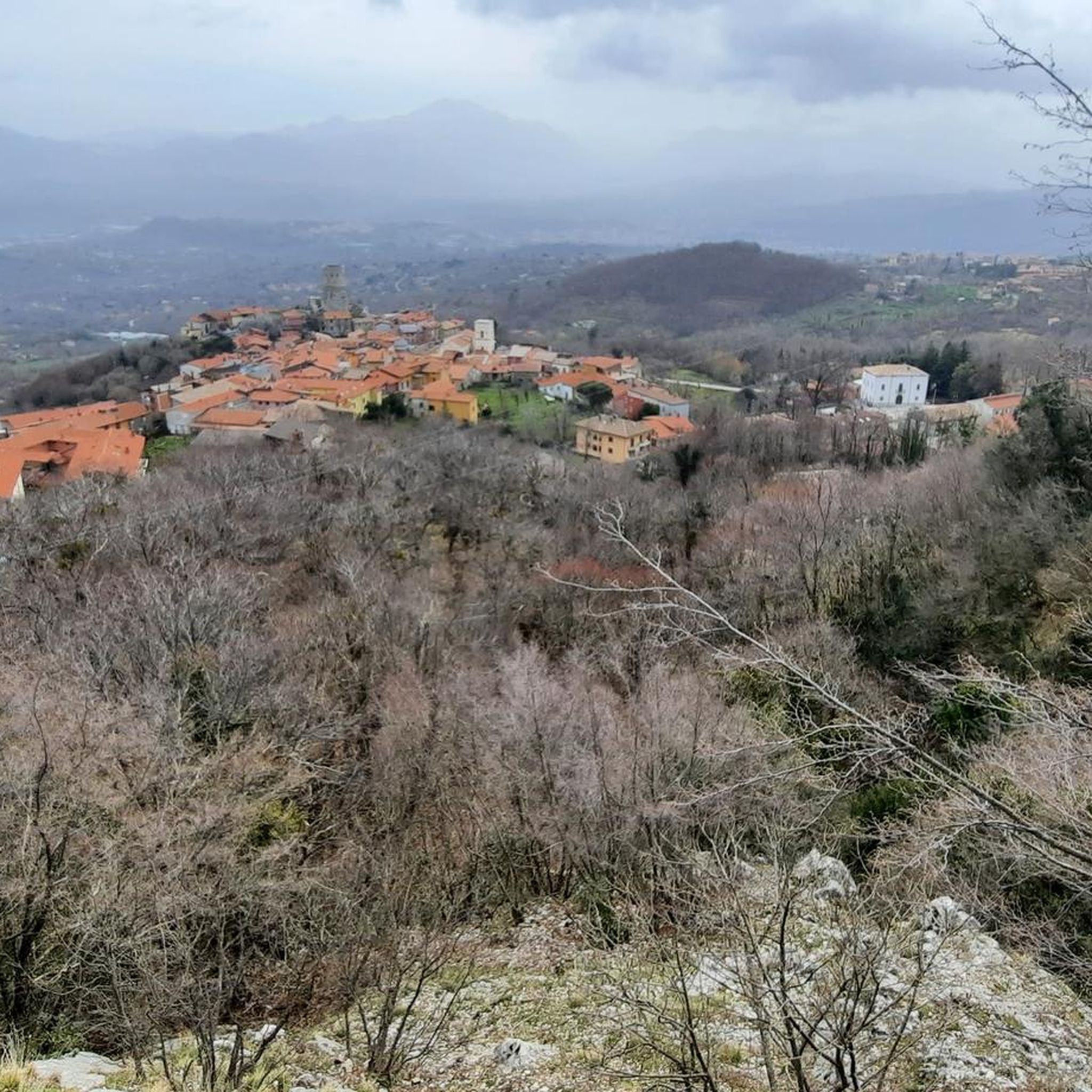
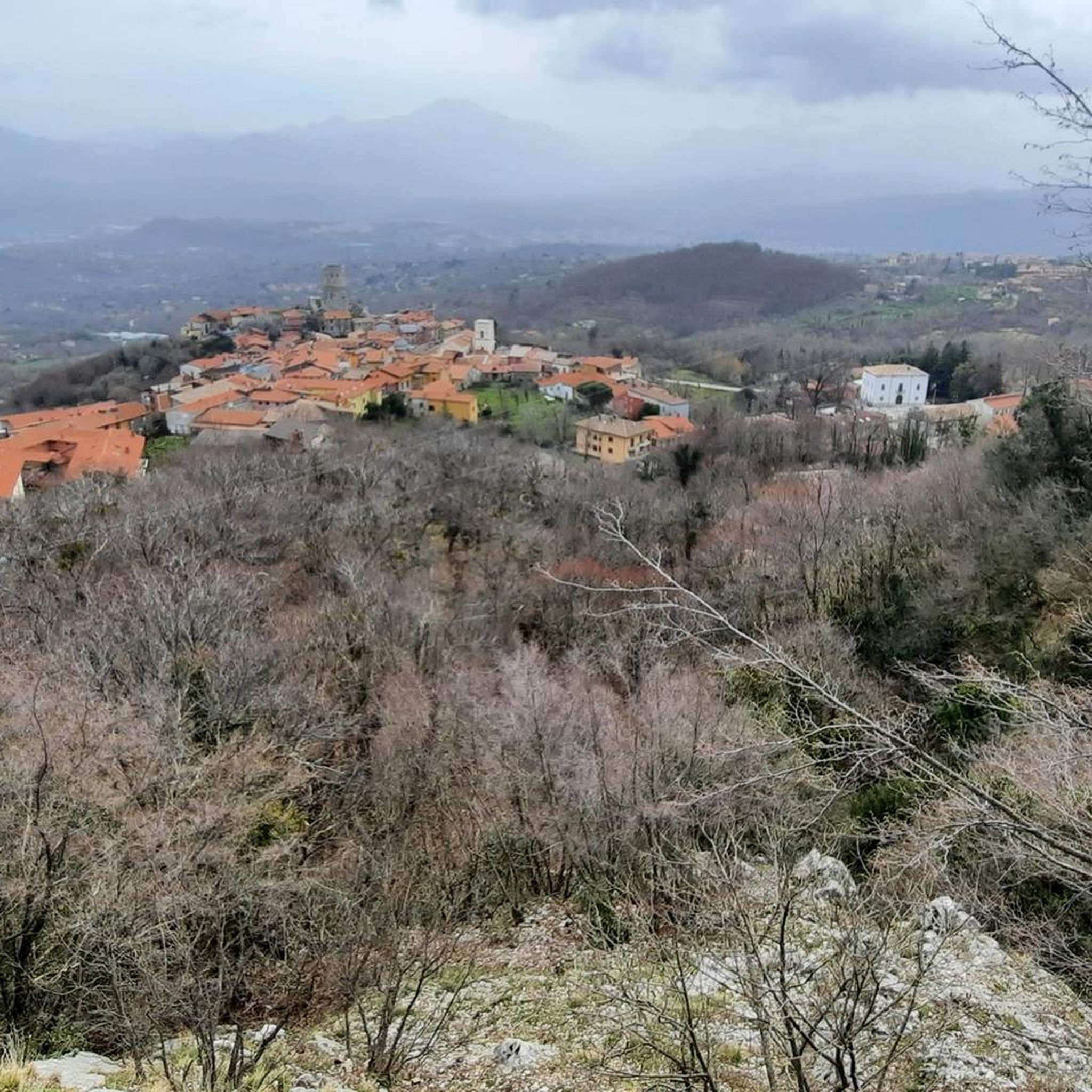
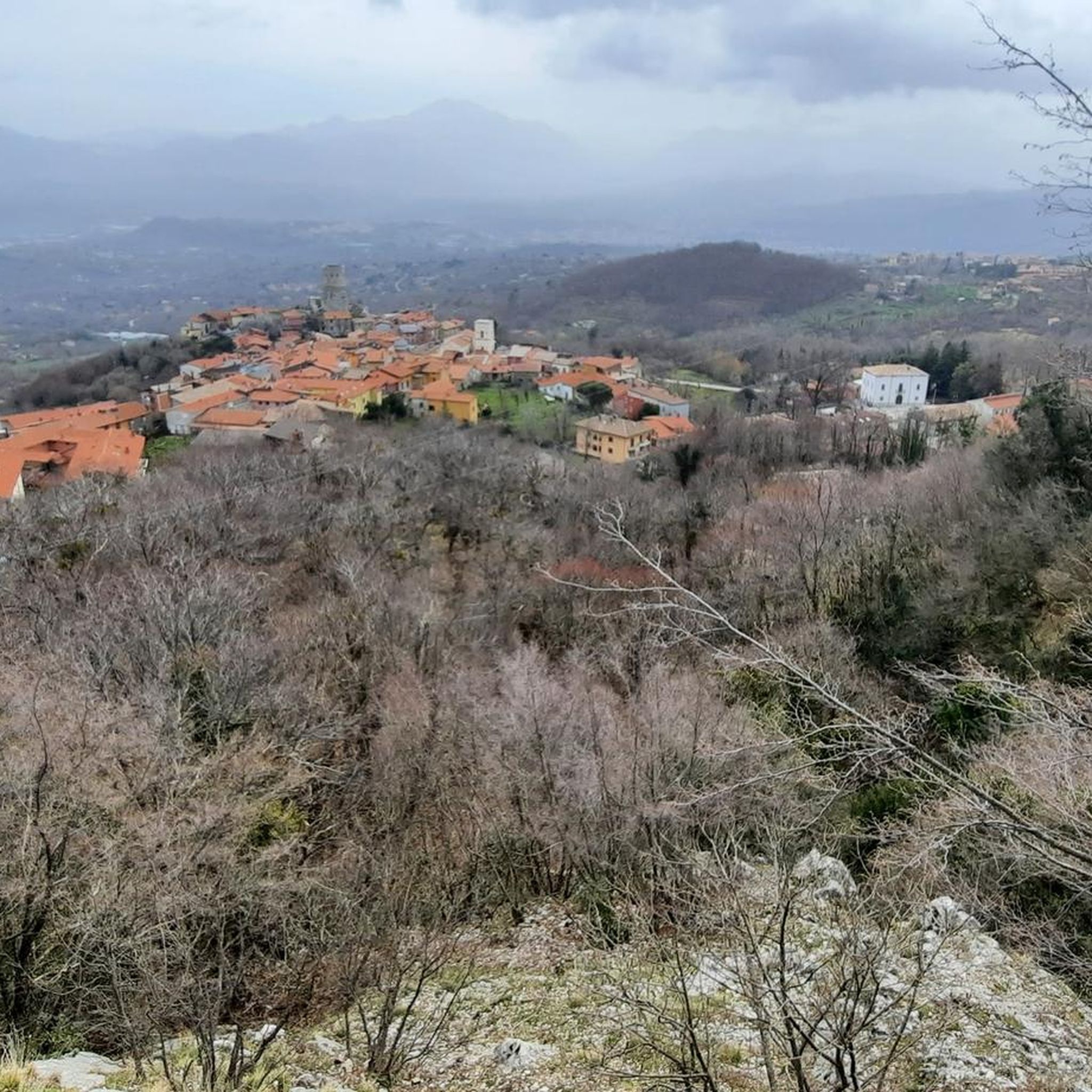
A little further on from the top there is a panoramic viewpoint from which you can easily observe the valley below.
1
0
Not far from here (about 300 meters to the north-west) there is a tower from which you can admire the panorama.
1
0
View of the steep funicular that allows you to reach the sanctuary of Montevergine in about seven minutes from Mercogliano.
1
0
A small lake that can be easily reached from various locations, it should be of karst origin (that is, generated by the collapse of a karst cave and with a deep effluent or tributary).
1
0

Near the Fonte San Giovanni refuge there is a majestic beech tree.
5
0

An exceptional construction adjacent to a rock, which makes this hermitage unique.
2
0
Frequently Asked Questions
How many hiking trails are available around Pratola Serra?
There are over 25 hiking trails around Pratola Serra, offering a diverse range of experiences from easy walks to more challenging excursions within the hilly terrain and the nearby Parco Regionale del Partenio.
What kind of terrain can I expect on hikes near Pratola Serra?
The terrain around Pratola Serra is predominantly hilly, characteristic of the Valle del Sabato region. You'll find paths winding through natural landscapes, often with significant elevation changes, especially as you venture into the Parco Regionale del Partenio.
Are there any family-friendly hiking options in the Pratola Serra area?
While specific 'easy' family routes are not detailed, the region offers a variety of trails. Among the 26 available, 5 are rated as easy, providing gentler options suitable for families. Look for routes with less elevation gain and shorter distances for a more relaxed experience.
Can I bring my dog on the hiking trails around Pratola Serra?
Many trails in the Irpinia region, including those around Pratola Serra and within the Parco Regionale del Partenio, are generally dog-friendly. However, it's always advisable to keep your dog on a leash, especially in protected areas or near livestock, and to check specific park regulations if venturing deep into the regional park.
What is the best time of year to go hiking in Pratola Serra?
The best time for hiking in the Irpinia region, including Pratola Serra, is typically during spring (April-June) and autumn (September-October). During these seasons, the weather is mild, and the natural scenery is particularly vibrant. Summers can be hot, and winters may bring colder temperatures and snow at higher elevations within the Partenio Mountains.
Are there any circular hiking routes near Pratola Serra?
Yes, there are several circular routes available. For example, the Monte Vallatrone Loop from Summonte is a moderate 12.8 km circular trail, and the more challenging Monte Vergine Loop from Ospedaletto d'Alpinolo also offers a circular path with panoramic views.
What interesting landmarks or natural features can I see while hiking?
Hiking around Pratola Serra offers opportunities to discover both natural beauty and historical sites. Along routes like the Monte Vallatrone Loop, you can explore the Hermitage of San Silvestro. Other notable attractions in the wider area include the Stretto di Barba gorge and various castles like Castello di Tufo.
Do I need any permits to hike in the Parco Regionale del Partenio?
Generally, permits are not required for day hiking on established trails within the Parco Regionale del Partenio. However, it's always good practice to check the official park website for any specific regulations, especially if planning activities like camping or large group events.
What do other hikers enjoy most about the trails in Pratola Serra?
The trails around Pratola Serra are highly rated by the komoot community, with an average score of 4.2 stars from over 40 reviews. Hikers often praise the varied terrain, the natural beauty of the Sabato Valley, and the challenging yet rewarding paths within the Partenio Regional Park.
Are there any longer, more challenging hikes for experienced trekkers?
Yes, experienced hikers will find several demanding routes. The Partenio Mountains High Route is an 17.9 km trail with significant elevation, and the Rifugio Forcetelle and Rifugio Fonte San Giovanni from Summonte route also offers a challenging 14.0 km experience.
Is public transport available to reach trailheads from Pratola Serra?
While Pratola Serra is a town, specific public transport links directly to all trailheads might be limited. Some popular starting points like Summonte or Ospedaletto d'Alpinolo, which are gateways to the Partenio Regional Park, may be accessible by local bus services. It's recommended to check local bus schedules for connections from Pratola Serra to these nearby towns.
Are there parking facilities available at the trailheads?
For popular trailheads, especially those leading into the Parco Regionale del Partenio from towns like Summonte or Ospedaletto d'Alpinolo, you can typically find parking areas. For example, there are often parking options near significant points of interest like the Eremo di San Silvestro or the Monte Vergine Sanctuary, which serve as starting points for many hikes.
Most popular attractions around Pratola Serra

Get inspired with the komoot mobile app


Explore more
Browse the best Hikes in other regions.
