The best road cycling routes around Schöllnach
4.6
(251)
3,379
riders
28
rides
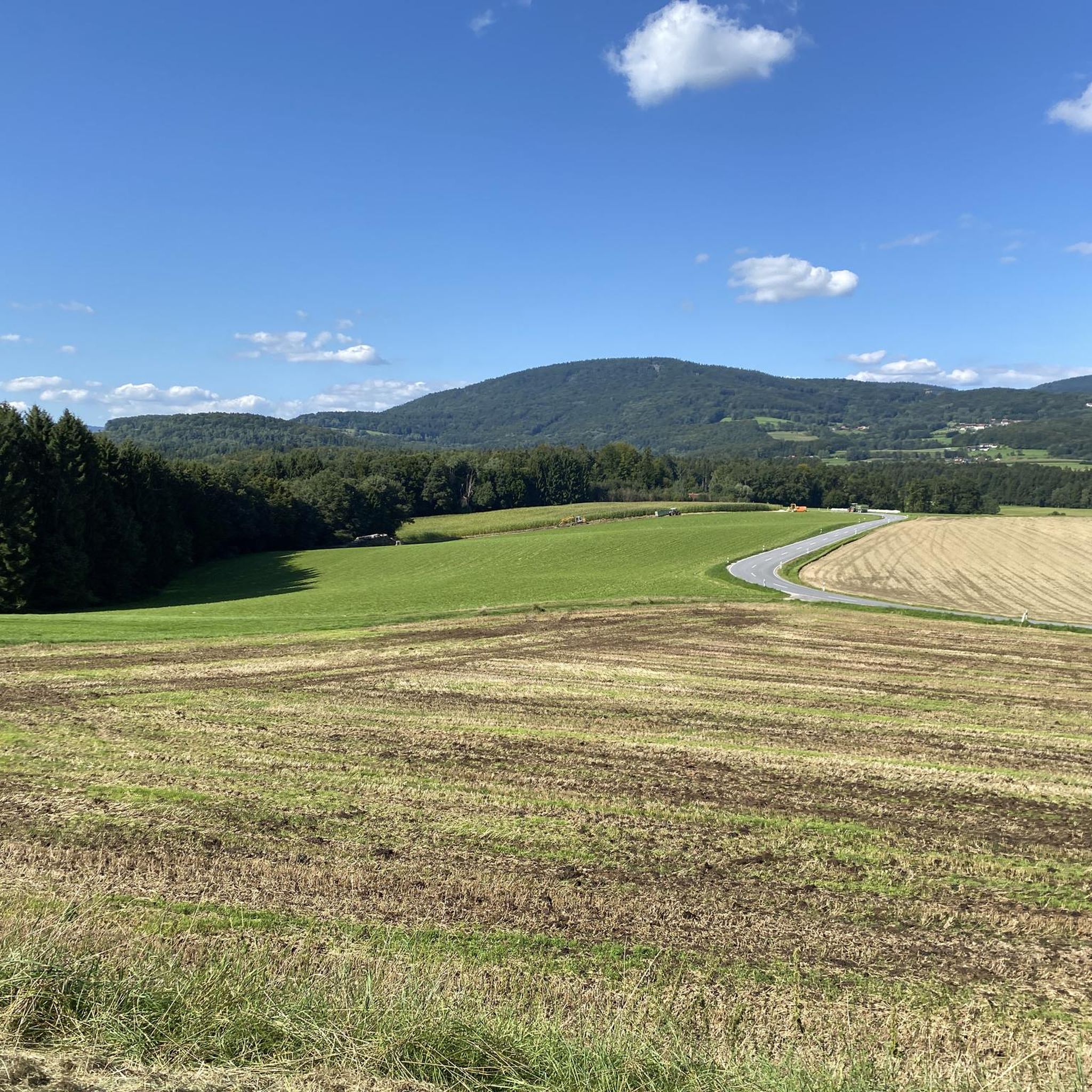
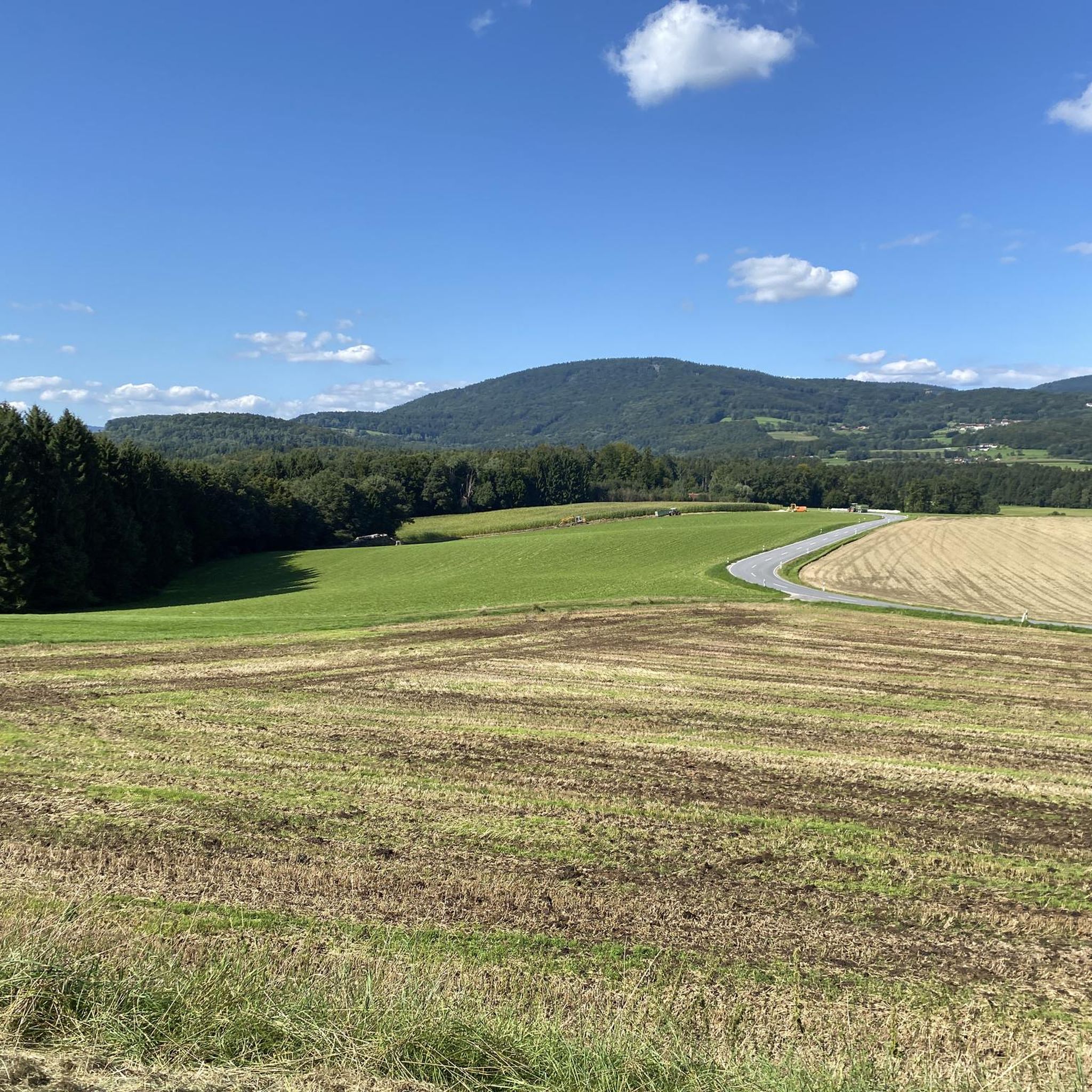
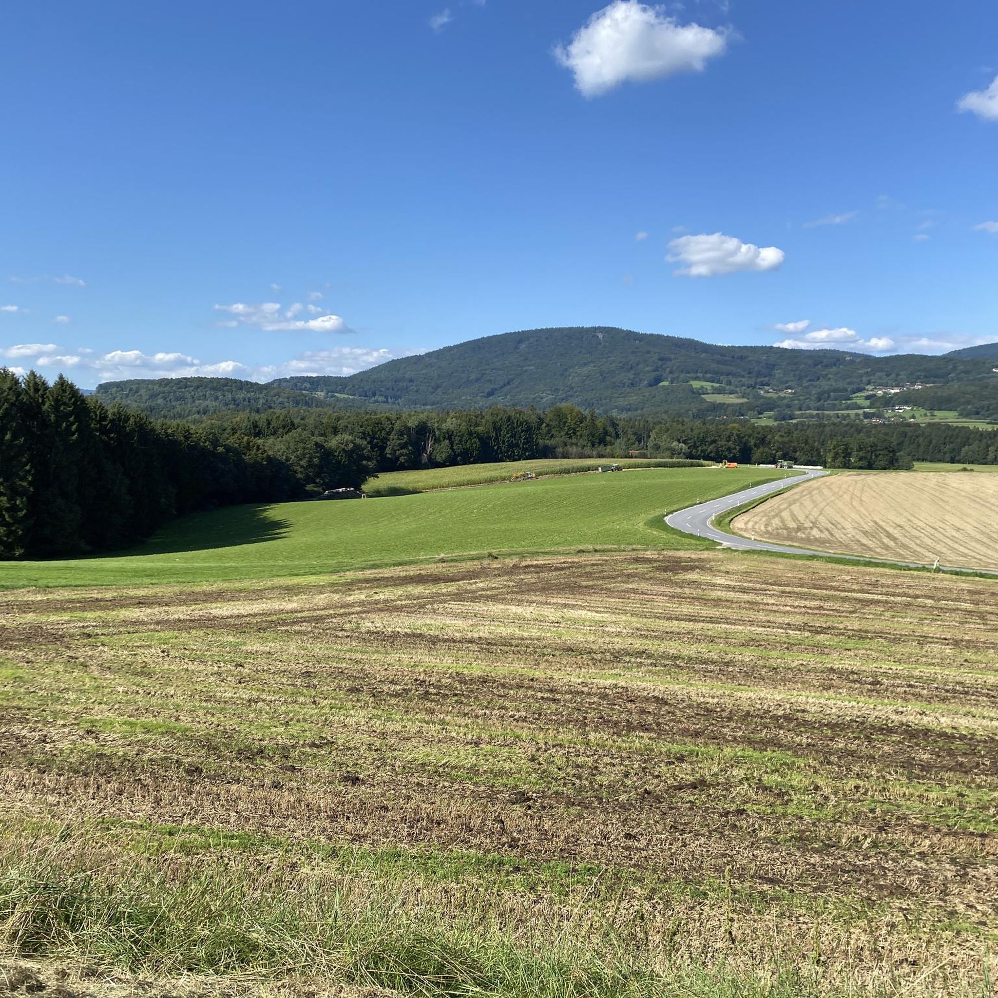
Road cycling routes around Schöllnach traverse a landscape characterized by rolling hills, the Kleine Ohe valley, and dense forests. The region offers varied terrain, from well-paved surfaces suitable for different fitness levels to segments with significant ascents. Prominent features include views of the Danube plain and distant mountains like Brotjacklriegl. This area provides diverse options for road cyclists seeking both leisurely rides and challenging climbs.
Best road cycling routes around Schöllnach
- The most popular road cycling route is Winzer Castle Ruins loop from Schöllnach, a 26.7 miles (43.0 km) trail that takes about 1 hour 56 minutes to complete. This moderate route offers views of the historic Winzer Castle Ruins.
- Another top favourite among local road cyclists is Niederaltaich Abbey – Danube Ferry at Niederalteich loop from Schöllnach, a moderate 27.4 miles (44.1 km) path. This route features scenic sections along the Danube Cycle Path and passes the notable Niederaltaich Abbey.
- Local road cyclists also love the View along the Ohetal Cycle Path – Rail Trail Schöllnach loop from Schöllnach, a 15.9 miles (25.5 km) trail leading through the Ohetal valley, often completed in about 1 hour 3 minutes.
- Road cycling around Schöllnach is defined by rolling hills, river valleys, and views of the Bavarian Forest mountains. The network offers options for different ability levels, from easy valley paths to routes with considerable elevation gain.
- The routes in Schöllnach are highly rated by the komoot community with an average score of 4.8 stars from over 26 reviews. More than 300 road cyclists have used komoot to explore Schöllnach's varied terrain.
Last updated: July 6, 2026
4.7
(7)
94
riders
43.0km
01:56
260m
260m
Moderate road ride. Great for any fitness level. Some segments of this route may be unpaved and difficult to ride.
4.5
(4)
48
riders
43.2km
02:04
310m
310m
Moderate road ride. Good fitness required. Some segments of this route may be unpaved and difficult to ride.

Sign up for free
5.0
(2)
42
riders
Easy road ride. Great for any fitness level. Mostly well-paved surfaces and easy to ride.
4.5
(4)
14
riders
31.9km
01:50
730m
730m
Moderate road ride. Good fitness required. Mostly well-paved surfaces and easy to ride.
4.0
(2)
10
riders
71.8km
02:53
310m
310m
Moderate road ride. Good fitness required. Mostly well-paved surfaces and easy to ride.
Get access to more routes and recommendations from other explorers.
Sign up for free
Already have an account?
Our route recommendations are based on thousands of hikes, rides, and runs completed by other people on komoot.
Start today with a free account
Your next adventure awaits.
Login or Signup
Tips from the Community

Directly on the river, good place to stay overnight with a campervan
0
0

A parish in Winzer was first documented around 1100 or 1242. It is suspected that a small sacred building already stood at the site of today's chancel at that time. The former church was severely damaged in the War of the Austrian Succession (1742). After services were temporarily held in the castle chapel on the Burgberg (which, however, became dilapidated in 1802), construction of the present-day, neoclassical church began in 1803.
0
1

Along the Hengersberger Ohe river, you'll cycle along a quiet riverside path past meadows and sparkling water. A beautiful, relaxing way to bypass the town.
0
0


According to the chronicle of the municipality of Winzer, it originated as follows: In 1666, the schoolmaster Hans Huber attached a Maria-Hilf image to a tree there. A few years later, a small chapel was built in the shade of oaks and lindens. On July 25, 1837, five people were praying in the chapel when a severe thunderstorm raged. The trunk of a half-rotten linden tree fell onto the chapel, causing it to collapse, but the visitors escaped unharmed. This event was seen as a sign from heaven for the long-desired new construction of the chapel. Thus, the current chapel was built in 1838. The devotional image is presumably still the original from the year 1666.
0
0

artificial wave Plattling... always awesome...
0
0

Castle ruins - just look, don't buy anything :-)
0
0

The bridges do what they are supposed to connect😅😎
10
0
Frequently Asked Questions
How many road cycling routes are there in Schöllnach?
Schöllnach offers a diverse network of nearly 30 road cycling routes. These routes cater to various skill levels, with 5 easy, 12 moderate, and 12 difficult options available for exploration.
What kind of terrain can I expect on road cycling routes in Schöllnach?
The region around Schöllnach features a varied landscape of rolling hills, the Kleine Ohe valley, and dense forests. You'll find routes with mostly well-paved surfaces suitable for all fitness levels, as well as segments that are unpaved and include significant ascents, requiring good to very good fitness.
Are there easy, beginner-friendly road cycling routes in Schöllnach?
Yes, Schöllnach has 5 easy road cycling routes perfect for beginners or those seeking a more relaxed ride. A great option is the View along the Ohetal Cycle Path – Rail Trail Schöllnach loop from Schöllnach, which is 15.9 miles (25.5 km) long and leads through the scenic Ohetal valley.
Are there challenging road cycling routes for experienced riders?
Absolutely. Schöllnach offers 12 difficult road cycling routes for experienced riders looking for a challenge. These routes often include considerable elevation gain and more demanding segments. One such route is the View of Großer Arber – Junction to Brotjacklriegl loop from Schöllnach, which includes significant climbs.
What landmarks or viewpoints can I see while road cycling in Schöllnach?
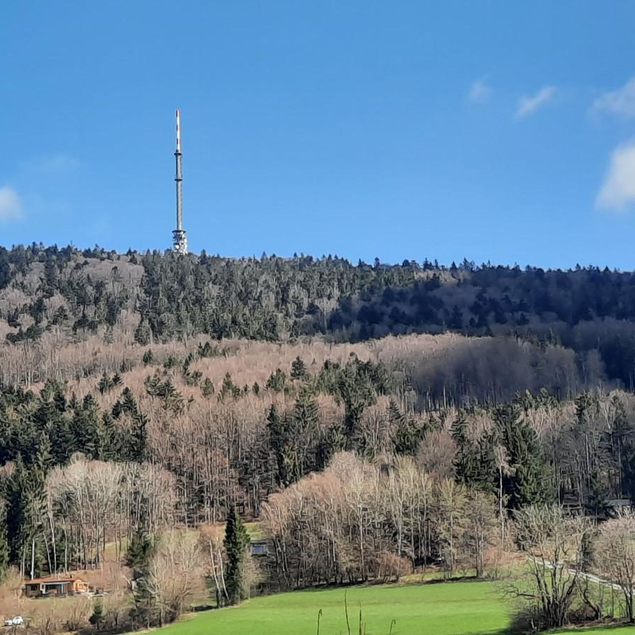
Road cycling routes in Schöllnach often pass by notable landmarks and offer stunning views. You can cycle past the historic Winzer Castle Ruins or the impressive Niederaltaich Abbey. For panoramic views, routes may offer glimpses of the Brotjacklriegl Summit and Observation Tower or the Großer Büchelstein summit cross, providing expansive vistas across the Bavarian-Bohemian Border Ridge and the Danube plain.
Are there circular road cycling routes around Schöllnach?
Yes, many of the road cycling routes in Schöllnach are designed as loops, allowing you to start and end at the same point. Examples include the Winzer Castle Ruins loop from Schöllnach and the Niederaltaich Abbey – Danube Ferry at Niederalteich loop from Schöllnach.
What is the best time to road bike in Schöllnach?
The region is generally excellent for road cycling from spring through autumn. The diverse landscapes are particularly beautiful during these seasons. While some routes might be accessible in winter, it's best to check local conditions as certain segments could be affected by snow or ice, especially at higher elevations.
Are there road bike rentals available in Schöllnach?
Yes, bicycle rentals are available in Schöllnach, making it convenient for visitors who wish to explore the area's road cycling routes without bringing their own equipment.
Where can I find parking for road cycling routes in Schöllnach?
Many road cycling routes around Schöllnach start from the town center or other accessible points where parking is typically available. Specific parking information can often be found in the detailed descriptions of individual routes on komoot.
What do other road cyclists enjoy most about road cycling in Schöllnach?
The road cycling routes in Schöllnach are highly rated by the komoot community, with an average score of 4.8 stars from over 26 reviews. Cyclists frequently praise the varied terrain, from easy valley paths to routes with considerable elevation gain, and the scenic views of the Bavarian Forest mountains and the Danube plain.
Are there any routes that follow the Danube Cycle Path near Schöllnach?
Yes, some routes near Schöllnach incorporate sections of the renowned Danube Cycle Path. For instance, the Niederaltaich Abbey – Danube Ferry at Niederalteich loop from Schöllnach features scenic sections along the Danube, considered among the most picturesque in Bavaria.
Can I combine road cycling with other activities in Schöllnach?
Absolutely. Schöllnach is a hub for outdoor activities. After your ride, you can explore the Brotjacklriegl with its observation tower, visit the unique Wackelstein (Rocking Stone), or even take a short drive to the Bavarian Forest National Park for hiking and wildlife viewing.
Most popular routes around Schöllnach
Most popular attractions around Schöllnach

Get inspired with the komoot mobile app


Explore more
Browse the best Road cycling routes in other regions.
