The best walks and hikes around Pago Del Vallo Di Lauro
4.1
(74)
213
hikers
34
hikes
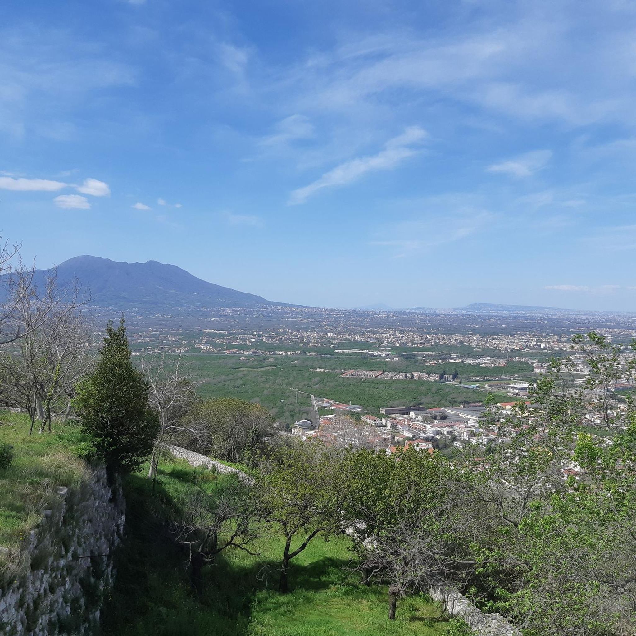
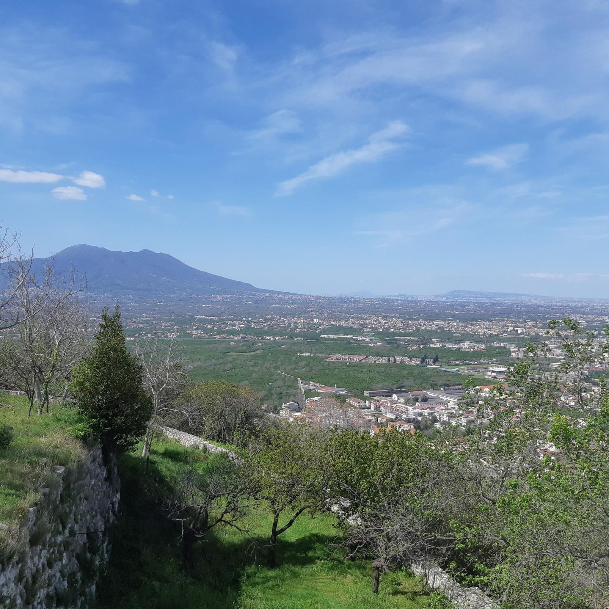
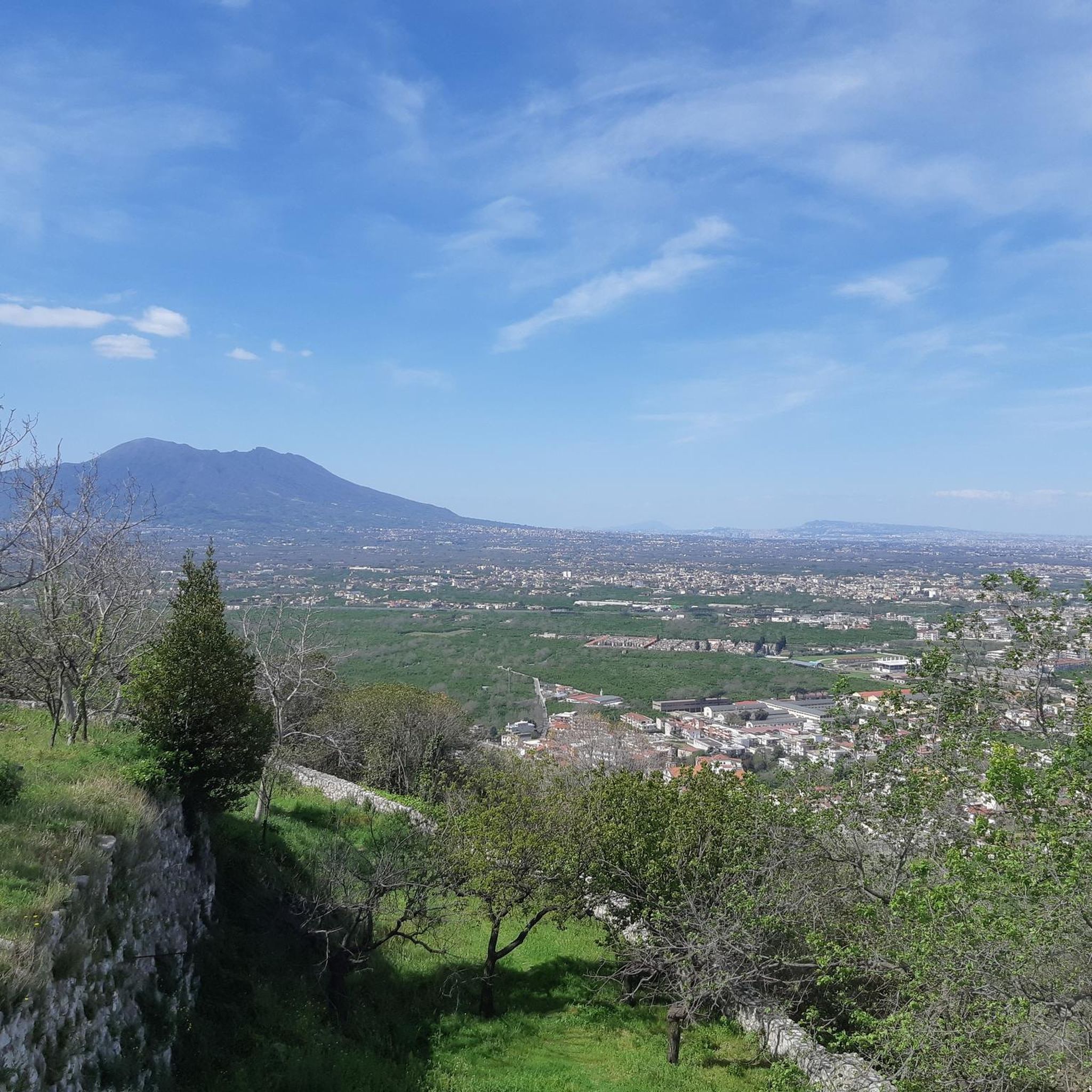
Hiking around Pago Del Vallo Di Lauro offers exploration through green hills, agricultural landscapes, and vineyards in Campania. The region is situated at the foot of Mount Dinico, providing access to varied terrain. Hikers can discover valleys, plateaus like Campo Maggiore, and water features such as the Acquaserta Waterfall and Sarno Springs. The area features diverse natural monuments and woodlands, creating a scenic backdrop for trails.
Best hiking trails around Pago Del Vallo Di Lauro
- The most popular hiking route…
Last updated: July 3, 2026
5.0
(1)
5
hikers
7.53km
02:42
380m
380m
Moderate hike. Good fitness required. Mostly accessible paths. Sure-footedness required.
4.5
(2)
5
hikers
17.5km
05:50
880m
880m
Hard hike. Very good fitness required. Easily-accessible paths. Suitable for all skill levels.

Sign up for free
9.23km
03:38
680m
680m
Moderate hike. Good fitness required. Easily-accessible paths. Suitable for all skill levels.
3.5
(4)
9
hikers
11.3km
04:10
710m
710m
Moderate hike. Good fitness required. Easily-accessible paths. Suitable for all skill levels.
4.0
(1)
9
hikers
16.0km
05:39
530m
530m
Hard hike. Very good fitness required. Mostly accessible paths. Sure-footedness required.
Get access to more routes and recommendations from other explorers.
Sign up for free
Already have an account?
Our route recommendations are based on thousands of hikes, rides, and runs completed by other people on komoot.
Start today with a free account
Your next adventure awaits.
Login or Signup

Tips from the Community

Alternative route through the woods to reach the Fonte San Giovanni refuge from the road, avoiding the asphalt road.
0
0

the road isn't great but the summit is beautiful
1
0

currently probably permanently closed
2
0

Panoramic peak at 1360 meters easily reachable along paths that are never complex or dangerous. An experience suitable even for the little ones.
2
0
Reachable thanks to the CAI paths 215 and 242, this refuge (unattended) is located 1 hour's walk from Toppola Grande (1368 m)
1
1

Near the Fonte San Giovanni refuge there is a majestic beech tree.
5
0

Campo Maggiore is a spectacular plateau where there is a small lake usually dry in the warmer months.... At the ends, two closed shelters. There are also picnic areas with braziers on the road that runs along the expanse.
0
0
Frequently Asked Questions
How many hiking trails are available in Pago Del Vallo Di Lauro?
There are over 35 hiking routes around Pago Del Vallo Di Lauro, offering a diverse range of experiences for all skill levels. These trails explore green hills, agricultural landscapes, and vineyards, with options from easy walks to more challenging mountain paths.
What kind of terrain can I expect on hikes in Pago Del Vallo Di Lauro?
The terrain around Pago Del Vallo Di Lauro is varied, characterized by green hills, agricultural landscapes, and vineyards. You'll find paths at the foot of Mount Dinico, leading through valleys and plateaus like the beautiful Campo Maggiore. Some routes also feature water elements such as the Acquaserta Waterfall and the Sarno Springs.
Are there any easy hiking trails suitable for beginners in Pago Del Vallo Di Lauro?
Yes, Pago Del Vallo Di Lauro offers several easy trails perfect for beginners. For instance, the Spirit loop from Baiano is an easy 7.2 km route, and the Spirit loop from Sperone is an even shorter 4.1 km easy walk, both ideal for a relaxed outing.
Can I find any circular hiking routes in the area?
Yes, there are several excellent circular routes. A popular option is the Acquaserta Waterfall – Rifugio Valle Fredda loop from Quadrelle, a moderate 11.3 km trail. Another great choice is the Acquaserta Waterfall – Rifugio Valle Fredda loop from Acqua del Litto, which is a moderate 7.5 km loop.
Are there any waterfalls to see while hiking in Pago Del Vallo Di Lauro?
Absolutely! The Acquaserta Waterfall – Rifugio Valle Fredda loop from Quadrelle and the Acquaserta Waterfall – Rifugio Valle Fredda loop from Acqua del Litto both feature the beautiful Cascata di Acquaserta. The Sarno Springs are also a notable natural monument where the Sarno river's waters show their purity.
What natural landmarks or points of interest can I explore along the trails?
Beyond the trails themselves, you can explore several natural landmarks. The Campo Maggiore Plateau and Lake is a very beautiful spot, though the lake can be dry in warmer months. You might also encounter the impressive Ancient Beech Tree of Campo San Giovanni, a significant natural monument.
What do other hikers enjoy most about hiking in Pago Del Vallo Di Lauro?
The komoot community highly rates the hiking experience in Pago Del Vallo Di Lauro, with an average score of 4.3 stars from over 60 reviews. Hikers often praise the diverse natural beauty, from green hills and vineyards to notable water features, and the variety of trails suitable for different abilities.
Are there any historical or cultural sites accessible via hiking routes?
Yes, the region offers historical routes that pass through the village and its ancient architecture, allowing you to combine natural exploration with cultural discovery. While hiking, you might also come across the Vallefredda Hermitage, a religious building nestled in the landscape.
What is the best time of year to go hiking in Pago Del Vallo Di Lauro?
The region's green hills and agricultural landscapes suggest that spring and autumn would be ideal for hiking, offering pleasant temperatures and vibrant scenery. Summer can be warm, and the Campo Maggiore Lake might be dry, so consider this for water features. Winter hikes are also possible, but conditions may vary.
Are there any challenging mountain trails for experienced hikers?
Yes, for those seeking more challenging treks, mountain trails are available. The area is situated at the foot of Mount Dinico, providing immediate access to mountainous terrain. Routes like Toppola Grande for the VALLE FREDDA refuge, a moderate 9.2 km trail with significant elevation gain, offer a good challenge.
Are there any castles or historical structures to visit near the hiking trails?
Yes, the broader region around Pago Del Vallo Di Lauro features several historical castles. You can explore the Monteforte Irpino Castle, the Sarno Castle and Fortifications, or the Avella Castle and Roman Ruins, all offering a glimpse into the area's rich history.
Is Pago Del Vallo Di Lauro suitable for family hikes?
Yes, the region offers a range of trails, including easier options that are suitable for families. The diverse landscapes with green hills and agricultural areas provide a pleasant setting for walks with children. Consider the shorter, easy routes like the Spirit loops for a family-friendly experience.
Most popular routes around Pago Del Vallo Di Lauro
Most popular attractions around Pago Del Vallo Di Lauro

Get inspired with the komoot mobile app


Explore more
Browse the best Hikes in other regions.
