The best MTB trails around Drenchia
4.5
(1088)
6,822
riders
97
rides
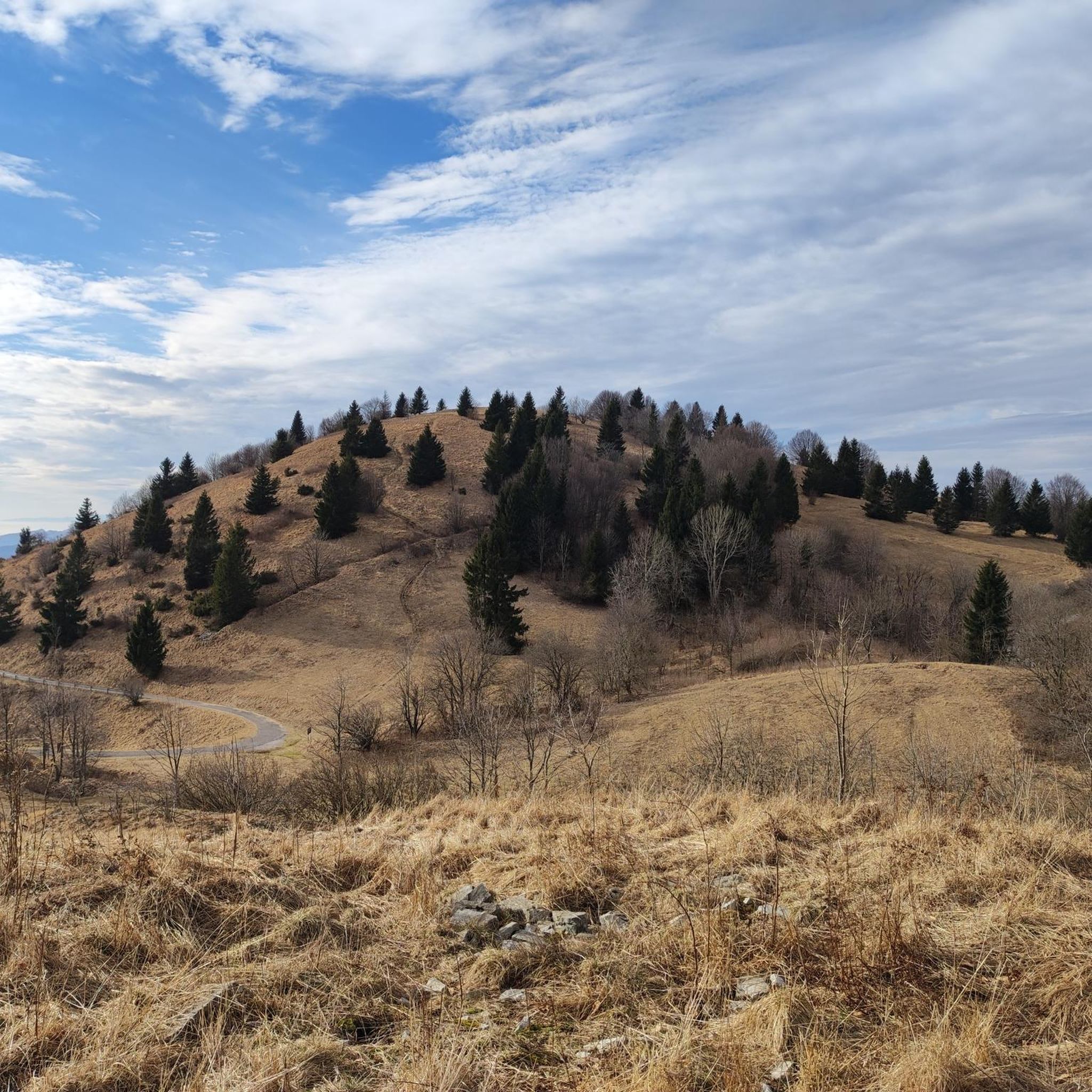
Mountain biking around Drenchia features a diverse landscape characterized by rolling hillsides, deep river gorges, and elevated viewpoints offering expansive vistas. The region's terrain includes a mix of forested paths, open meadows, and challenging mountain ascents. Riders can expect routes that navigate through varied elevations, often providing panoramic views of the Adriatic Sea and the Isonzo River valley. This area provides a range of trails suitable for experienced mountain bikers seeking demanding climbs and technical descents.
Best mountain bike trails…
Last updated: October 8, 2026
4.3
(10)
157
riders
44.9km
05:41
1,590m
1,590m
Hard mountain bike ride. Very good fitness required. Advanced riding skills necessary. Some portions of the route may require you to push your bike.
4.7
(21)
184
riders
55.2km
06:02
1,780m
1,780m
Hard mountain bike ride. Very good fitness required. Advanced riding skills necessary. Some portions of the route may require you to push your bike.

4.7
(22)
148
riders
54.4km
05:03
1,500m
1,500m
Hard mountain bike ride. Very good fitness required. Advanced riding skills necessary. Some portions of the route may require you to push your bike.
4.4
(21)
118
riders
41.0km
04:23
1,280m
1,280m
Hard mountain bike ride. Very good fitness required. Advanced riding skills necessary. Some portions of the route may require you to push your bike.
3.9
(9)
74
riders
25.6km
02:58
990m
990m
Hard mountain bike ride. Very good fitness required. Advanced riding skills necessary. Some portions of the route may require you to push your bike.
Get access to more routes and recommendations from other explorers.
Already have an account?
Our route recommendations are based on thousands of hikes, rides, and runs completed by other people on komoot.
Start today with a free account
Your next adventure awaits.


Other adventures around Drenchia

Tips from the Community

The Tolmin Gorges are the deepest and southernmost access point to Triglav National Park. The wild streams Tolminka and Zadlaščica have carved deeply into the limestone here and meet in a narrow, shady gorge. At the confluence, a small thermal spring emerges, and a few minutes further on, a mighty rock block, Medvedova glava, is wedged between the walls. Above it all, the Devil's Bridge spans about 60 m above the river. ▪️ Entrance fee applies, with time slot booking in high season ▪️ Well-developed circular path with steps, footbridges, and bridges – slippery when wet ▪️ Starting early is worthwhile: the gorge is almost empty in the morning ▪️ Dante's Cave (Zadlaška jama) is only accessible with a guided tour
0
0
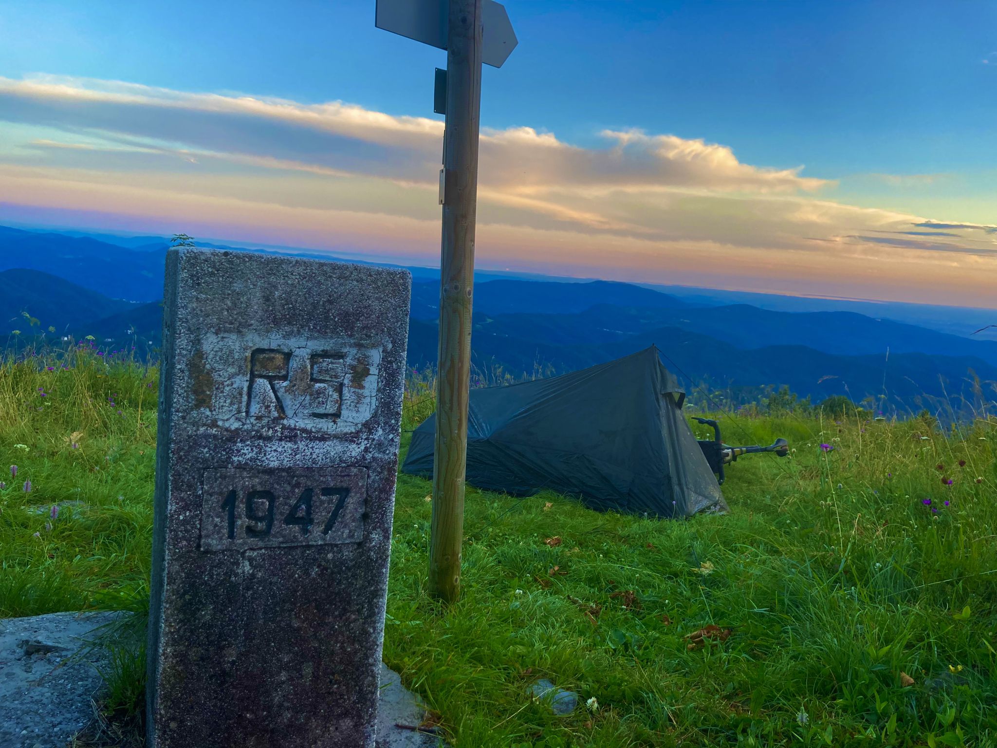
🥾 Ostkamm – the Slovenian ascent The ridge we descended from the summit is the classic route from the Slovenian side: start in Avsa above Livek (approx. 870 m), through beech forest up to Idrska planina, over Mrzli vrh and then over the grassy border ridges to the summit – about 2 to 2.5 hours. A second, considerably longer variant begins in Svino near Kobarid. The meadows are so uniform that Matajur is considered a ski touring mountain in winter. On the ridge, just below the summit, the path branches off to the Dom na Matajure, the hut of the Slovenian mountaineering association from Benečija.
0
0
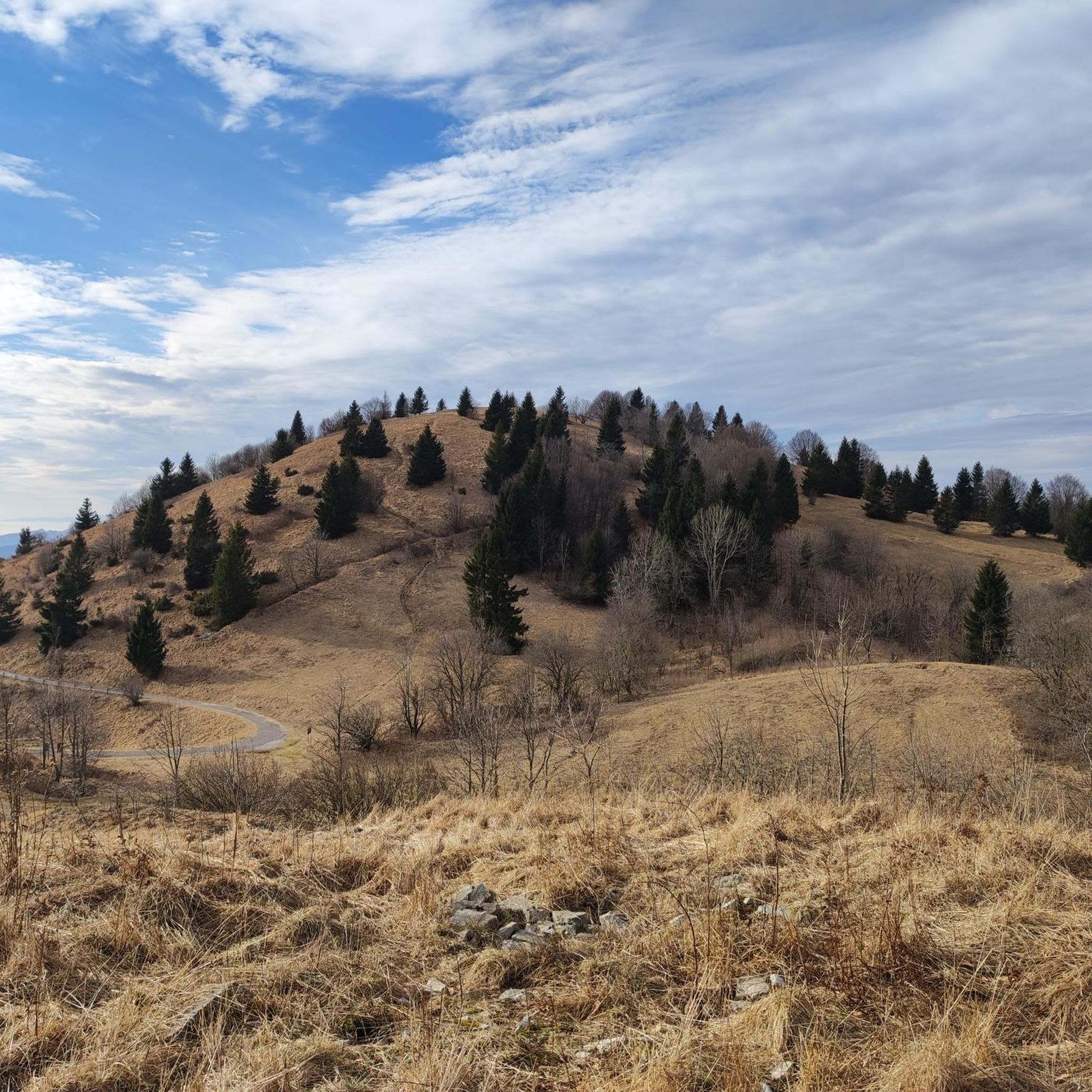
🪨 Sea of rocks on the ascent The Matajur is made of limestone from the Julian Prealps. Rainwater has eroded the exposed rocks into channels and grooves over millennia – so-called karren, in Italian „campi solcati“. The blocks look as if they have been furrowed by a giant plough. Similar karren fields can be found on the Skrila stream below the Rifugio, where they are used as a climbing garden. The limestone is slippery when wet, but offers good grip when dry.
0
0

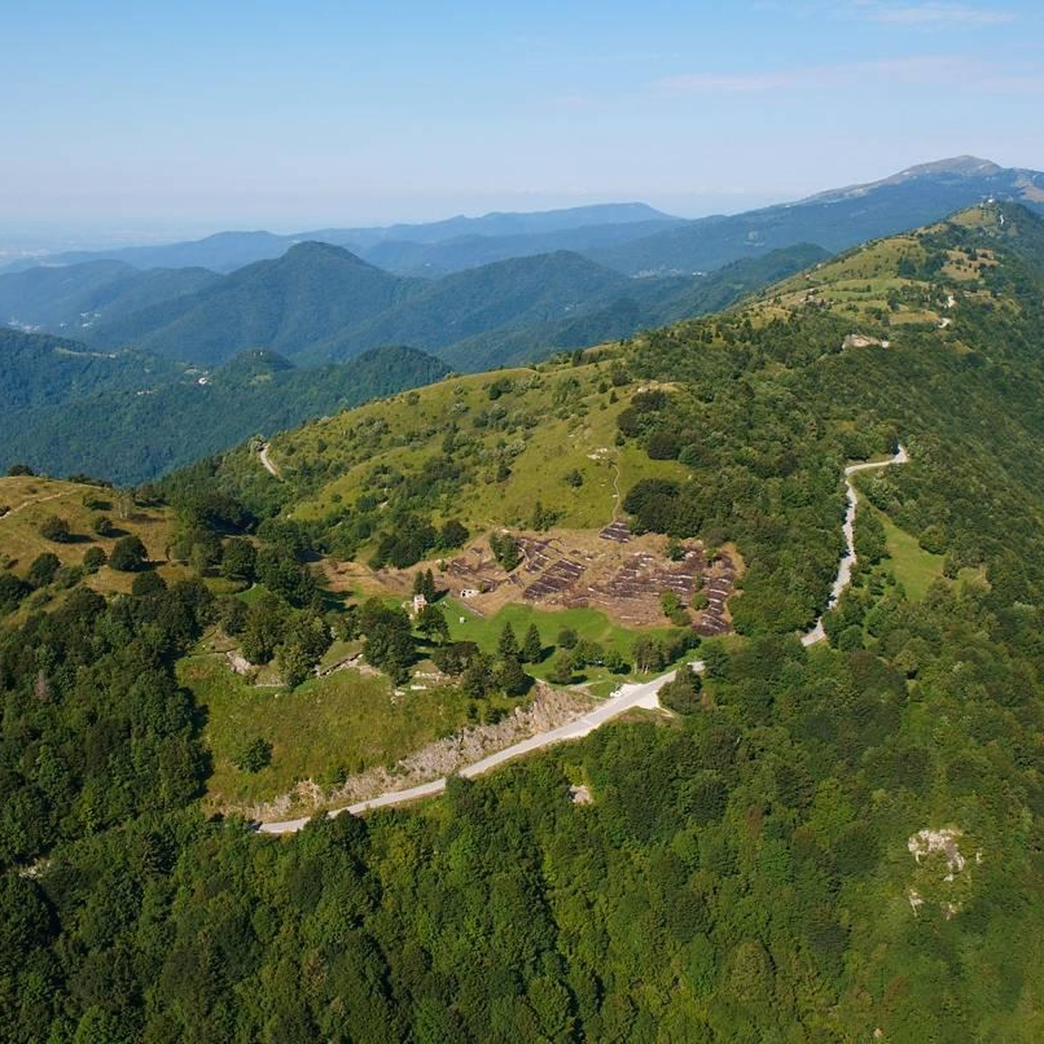
This mountain is part of the Mia-Lubia-Matajur anticline, a transition area between the Southern Alps and the Dinarides, with sedimentary formations from the Lias (Jurassic) to the Upper Cretaceous, which were deposited between 212 and 65 million years ago. Due to its location (summit at 1641 m above sea level), alpine, Balkan and sub-Mediterranean flora meet and merge here. Above 1300 meters, the landscape offers wide, little-grazed meadows with natural primary herbaceous species that have grown after the removal of the original beech forests.
0
0


An incredible landscape. absolutely worth seeing.
0
0

Frequently Asked Questions
How many mountain bike trails are available around Drenchia?
There are over 80 mountain bike trails around Drenchia, offering a wide range of options for different skill levels and preferences.
Are there any beginner-friendly mountain bike trails in Drenchia?
While Drenchia is known for its challenging terrain, there are approximately 8 easy mountain bike routes available. These trails typically feature less demanding climbs and descents, making them suitable for those new to mountain biking or looking for a more relaxed ride.
What kind of terrain can I expect on mountain bike trails in Drenchia?
Mountain biking around Drenchia features a diverse landscape characterized by rolling hillsides, deep river gorges, and elevated viewpoints. Riders can expect a mix of forested paths, open meadows, and challenging mountain ascents, often providing panoramic views of the Adriatic Sea and the Isonzo River valley.
Are there any loop mountain bike trails around Drenchia?
Yes, many of the mountain bike trails in Drenchia are loops. For example, you can try the difficult Panorama Trail on the Hillside – View of the Adriatic Sea loop from Grimacco, which offers expansive coastal views, or the challenging Soča Gorge – View of the Isonzo River loop from Volarje, which explores the scenic river valley.
What are some challenging mountain bike routes for advanced riders in Drenchia?
Drenchia offers numerous challenging routes for experienced mountain bikers. A demanding option is the View of the Adriatic Sea – Dom na Matajure Mountain Hut loop from Volarje, which features significant elevation changes and rewarding views. Another is the Tolmin – Planina Lom loop from Volarje, leading through mountainous landscapes and high pastures.
Are there mountain bike trails with good viewpoints in Drenchia?
Yes, Drenchia is known for its elevated viewpoints. Many trails offer panoramic vistas, including views of the Adriatic Sea and the Isonzo River valley. The Panorama Trail on the Hillside – View of the Adriatic Sea loop from Grimacco is specifically highlighted for its panoramic views.
What can I see along the mountain bike trails in Drenchia?
Beyond the natural beauty, you can encounter several interesting landmarks and natural features. Highlights include the Soca Suspension Bridge, the impressive Veliki Kozjak Waterfall, and the historic Devil's Bridge Over Tolmin Gorge. You might also pass by mountain passes like the MataDown Trail – Passo Glevizza.
What is the best time of year for mountain biking in Drenchia?
The region's diverse terrain makes it suitable for mountain biking across multiple seasons. Spring and autumn generally offer pleasant temperatures and vibrant scenery. While winter mountain biking is possible, conditions can be challenging due to snow and ice at higher elevations, so checking local weather and trail conditions is advisable.
How long do mountain bike trails typically take in Drenchia?
Trail durations vary significantly based on distance and difficulty. For instance, a difficult route like the Livek Village – Cepletischis Wildflower Meadow loop from Grimacco, covering 23.8 km, might take around 2 hours 40 minutes. Longer, more challenging routes can extend to 5-6 hours or more.
What do other mountain bikers enjoy most about Drenchia?
The mountain bike trails in Drenchia are highly rated by the komoot community, with an average score of 4.5 stars from over 650 reviews. Riders often praise the varied terrain, the challenging climbs, and the rewarding panoramic views of the Adriatic Sea and the Isonzo River valley.
Are there any less crowded mountain bike trails in Drenchia?
With over 80 trails, Drenchia offers many options to explore. To find less crowded routes, consider exploring some of the moderate or difficult trails that might be less frequented than the most popular ones, or plan your rides during off-peak hours or seasons.
Most popular routes around Drenchia
Most popular attractions around Drenchia

Get inspired with the komoot mobile app


Explore more
Browse the best MTB trails in other regions.
