The best walks and hikes around Schnürpflingen
4.5
(1601)
9,813
hikers
906
hikes
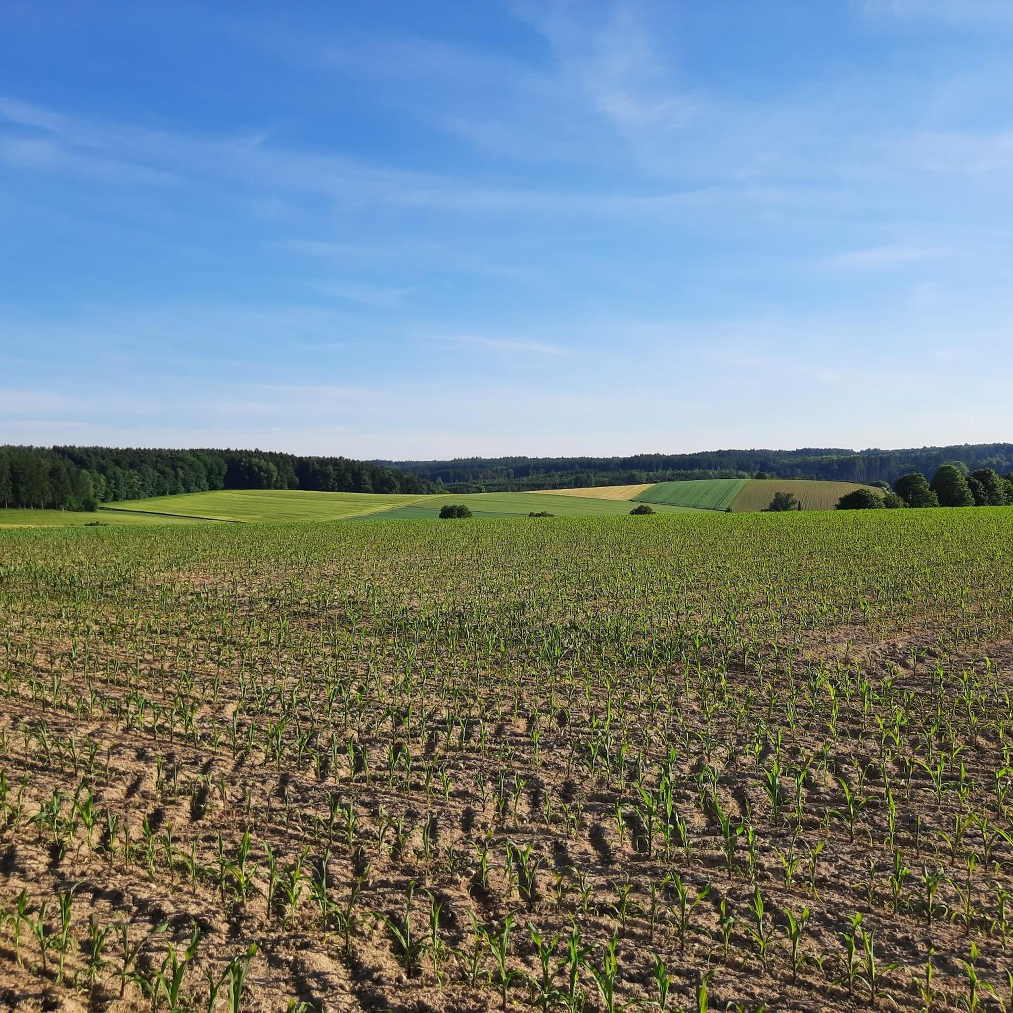
Hiking trails around Schnürpflingen traverse a landscape characterized by a mix of forests and open meadows. The region features tranquil routes, often leading to natural water features like ponds and forest lakes. Situated within the broader Alb-Donau-Kreis, Schnürpflingen offers access to diverse natural settings, including areas with minimal elevation gain.
Best hiking trails around Schnürpflingen
- The most popular hiking route is Forest Lake – Bihlafinger Weiher loop from Schnürpflingen, a 4.7 miles (7.6 km) trail that takes about 2 hours to complete. This easy route features a peaceful forest lake and accessible paths.
- Another top favourite among local hikers is Forest Path View – Forest lake loop from Schnürpflingen, a moderate 5.8 miles (9.3 km) path. This route offers views along a forest path leading to a serene forest lake.
- Local hikers also love the Fire Pit and Pond loop from Bihlafingen, a 7.3 miles (11.7 km) trail leading through forested areas with a fire pit and pond, often completed in about 3 hours.
- Hiking around Schnürpflingen is defined by forests, meadows, and natural water features like ponds and forest lakes. The network offers options for various ability levels, from easy walks to moderate trails.
- The routes in Schnürpflingen are highly rated by the komoot community with an average score of 4.5 stars from more than 1500 reviews. More than 9000 hikers have used komoot to explore Schnürpflingen's varied terrain.
Last updated: May 14, 2026
4.4
(21)
59
hikers
7.56km
01:59
60m
60m
Easy hike. Great for any fitness level. Easily-accessible paths. Suitable for all skill levels.
4.7
(10)
36
hikers
Moderate hike. Good fitness required. Easily-accessible paths. Suitable for all skill levels.

Sign up for free
5.0
(2)
21
hikers
11.7km
03:03
90m
90m
Moderate hike. Good fitness required. Easily-accessible paths. Suitable for all skill levels.
5.0
(3)
6
hikers
17.0km
04:31
180m
180m
Moderate hike. Good fitness required. Easily-accessible paths. Suitable for all skill levels.
5.0
(2)
12
hikers
6.59km
01:45
70m
70m
Easy hike. Great for any fitness level. Easily-accessible paths. Suitable for all skill levels.
Get access to more routes and recommendations from other explorers.
Sign up for free
Already have an account?
Our route recommendations are based on thousands of hikes, rides, and runs completed by other people on komoot.
Start today with a free account
Your next adventure awaits.
Login or Signup
Tips from the Community

You can drive right up to the barbecue area. Public fireplace with plenty of benches right on the edge of the forest.
0
0
Quietly located in the middle of the forest. Also accessible for people with disabilities, as long as you can walk on gravel paths. Very quiet and a lovely place for everyone that you should definitely visit during a walk in the forest
1
0
Small lake below the sports field with a jetty. A little insider tip for those who want peace and quiet. There is never much going on here.
0
0
Small hut between the sports field and the lake. You can even have a barbecue here. There is also a large trash can so that there is no trash on the ground.
0
0
Small pond in the middle of the forest. Quickly accessible from the sports field. Quiet, shady and easily accessible for everyone (large gravel path).
1
0
The place is very well maintained and clean. You can get there very quickly from the sports field/children's playground. Someone is really making an effort here and it shows.
0
0
It is very close to the sports field. You can park there and walk to the forest lakes. On the left side is the small hut with a bench. Really beautiful, shady and quiet.
0
0

Great opportunity for a longer and comfortable break.
2
0
Frequently Asked Questions
How many hiking trails are available around Schnürpflingen?
Schnürpflingen offers a wide selection of hiking opportunities, with nearly 1000 routes available. These range from easy walks to more challenging trails, catering to various fitness levels.
Are there easy hiking trails suitable for beginners or families in Schnürpflingen?
Yes, Schnürpflingen is well-suited for easy hikes, with over 640 routes classified as easy. Many trails feature minimal elevation gain and accessible paths, making them ideal for beginners or family outings. An example is the Forest Lake – Bihlafinger Weiher loop from Schnürpflingen, an easy 7.6 km trail.
What kind of landscapes can I expect to see while hiking in Schnürpflingen?
The landscape around Schnürpflingen is characterized by a pleasant mix of forests and open meadows. You'll often find tranquil routes leading to natural water features like ponds and forest lakes, providing a serene environment for your hike. The broader Alb-Donau-Kreis region also offers diverse terrain, including karst landscapes and riverbanks.
Are there any circular walks available in Schnürpflingen?
Yes, many of the hiking routes in Schnürpflingen are designed as circular walks, allowing you to start and end at the same point. For instance, the Fire Pit and Pond loop from Bihlafingen is a popular circular trail that takes you through forested areas.
What are some interesting natural attractions or landmarks to see along the trails?
While hiking in the Schnürpflingen area, you can discover several natural highlights. You might encounter the peaceful Rushing Iller River or enjoy views from the Plessenteich Birdwatching Tower. The region is also home to various lakes, such as Großer Ersinger Lake and Ludwigsfelder Lake.
What do other hikers say about the trails in Schnürpflingen?
The trails in Schnürpflingen are highly regarded by the komoot community, holding an average rating of 4.5 stars from over 1500 reviews. Hikers often praise the quiet woodlands, well-maintained paths, and the peaceful atmosphere found around the forest lakes and ponds.
Are there any longer, more challenging hikes for experienced hikers?
While Schnürpflingen is known for its accessible trails, there are also options for more experienced hikers. You can find moderate routes, such as the Forest pond with bench – Forest lake loop from Bihlafingen, which covers over 17 km. There are also a few difficult routes for those seeking a greater challenge.
Can I find trails that offer scenic viewpoints?
Yes, some routes provide scenic views, particularly those that traverse higher ground or open meadows. For example, the Forest Path View – Forest lake loop from Schnürpflingen offers views along a forest path before reaching a serene forest lake.
What is the best time of year to go hiking in Schnürpflingen?
Schnürpflingen offers pleasant hiking conditions throughout much of the year. Spring and autumn provide comfortable temperatures and beautiful scenery with changing foliage. Summer is also great for enjoying the forest shade, while winter hikes can offer a tranquil experience, especially around the frozen ponds and lakes.
Are there any specific trails that feature forest lakes or ponds?
Many trails in Schnürpflingen incorporate natural water features. The Forest Lake – Bihlafinger Weiher loop from Schnürpflingen is a prime example, leading you directly to a peaceful forest lake. Another option is the Forest Lake – Bihlafinger Weiher loop from Bihlafingen, which also features a forest lake.
Are the hiking trails around Schnürpflingen generally well-maintained and easy to navigate?
Yes, the trails in the Schnürpflingen area are generally well-maintained and considered easy to navigate. The komoot community frequently praises the clear paths and signage, making for an enjoyable and stress-free hiking experience.
Most popular routes around Schnürpflingen
Most popular attractions around Schnürpflingen

Get inspired with the komoot mobile app


Explore more
Browse the best Hikes in other regions.
