The best road cycling routes around Schnaittenbach
4.6
(407)
5,521
riders
68
rides
Road cycling around Schnaittenbach offers diverse terrain within the Upper Palatinate region of Bavaria, Germany. The area is characterized by rolling hills, dense forests, and river valleys such as the Naab and Vils. Cyclists can find well-developed infrastructure with quiet country roads and excellent asphalt, suitable for various fitness levels. The landscape provides a mix of gentle gradients along river paths and more challenging ascents through the region's elevated areas.
Best road cycling routes around Schnaittenbach
- The most popular road…
Last updated: July 5, 2026
4.6
(26)
190
riders
77.9km
03:27
760m
760m
Moderate road ride. Good fitness required. Mostly well-paved surfaces and easy to ride.
44
riders
55.2km
02:24
490m
490m
Moderate road ride. Good fitness required. Mostly well-paved surfaces and easy to ride.

Sign up for free
4.0
(2)
39
riders
49.8km
02:21
650m
650m
Moderate road ride. Good fitness required. Mostly well-paved surfaces and easy to ride.
5.0
(1)
27
riders
60.1km
02:36
520m
520m
Moderate road ride. Good fitness required. Some segments of this route may be unpaved and difficult to ride.
22
riders
Easy road ride. Great for any fitness level. Mostly well-paved surfaces and easy to ride.
Get access to more routes and recommendations from other explorers.
Sign up for free
Already have an account?
Our route recommendations are based on thousands of hikes, rides, and runs completed by other people on komoot.
Start today with a free account
Your next adventure awaits.
Login or Signup
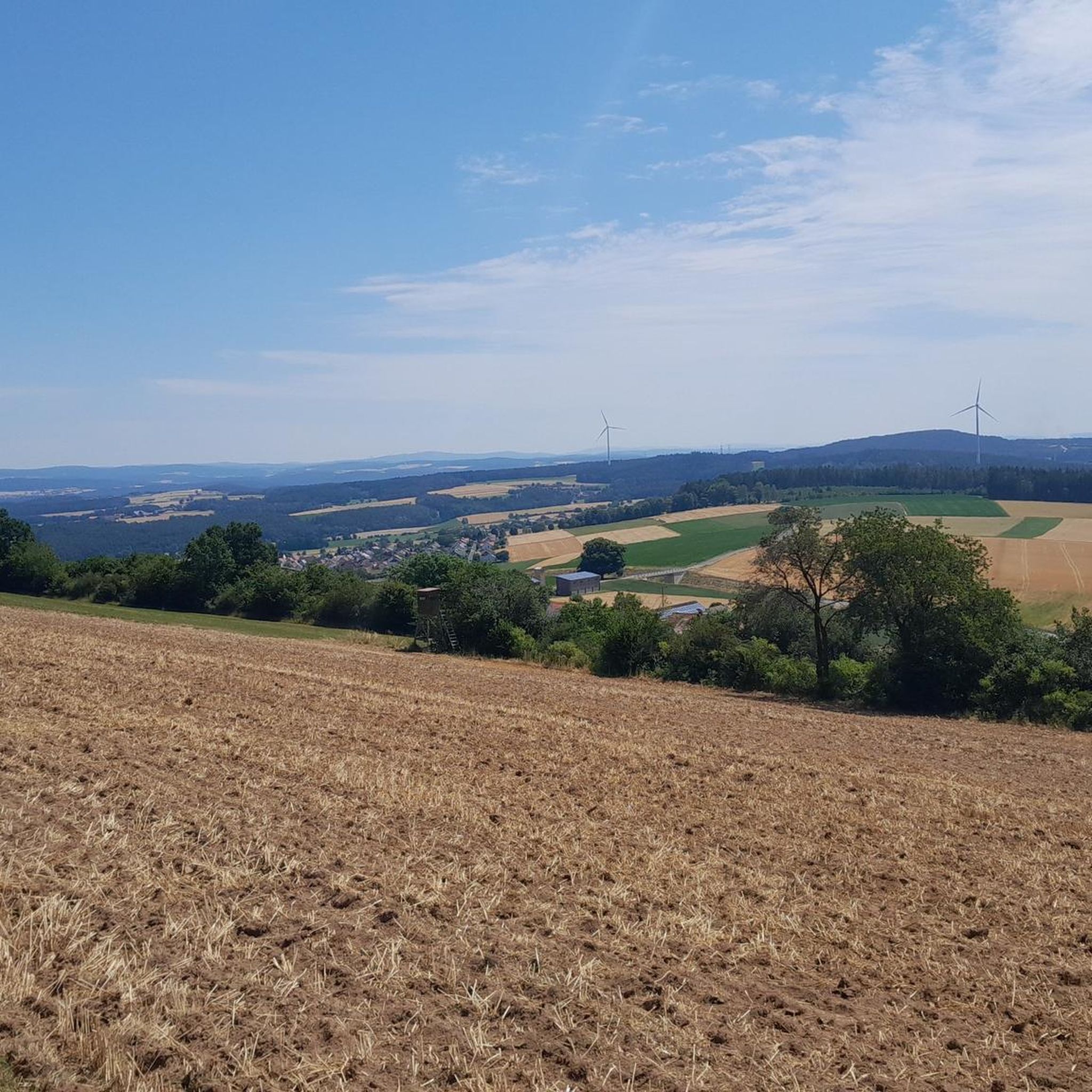
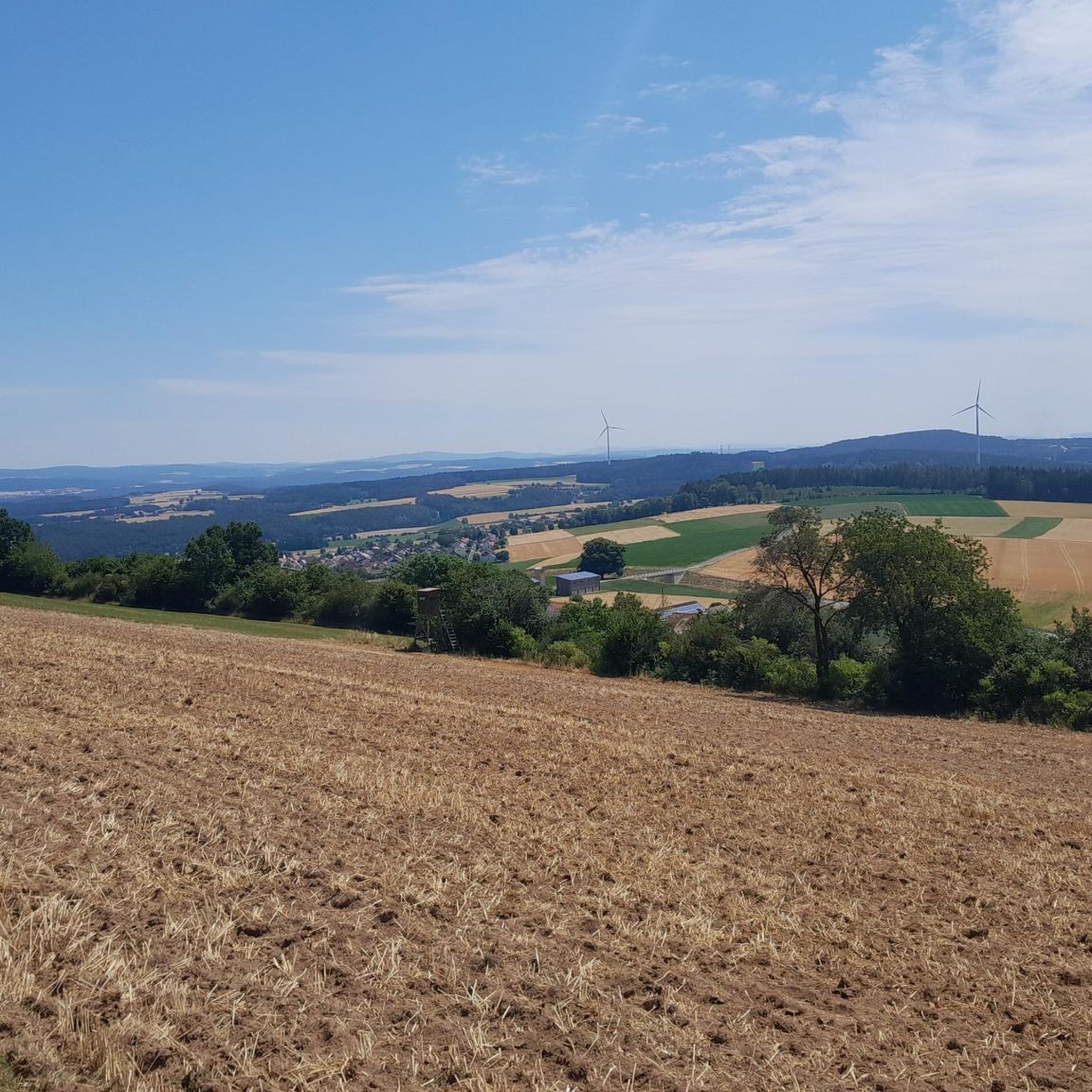
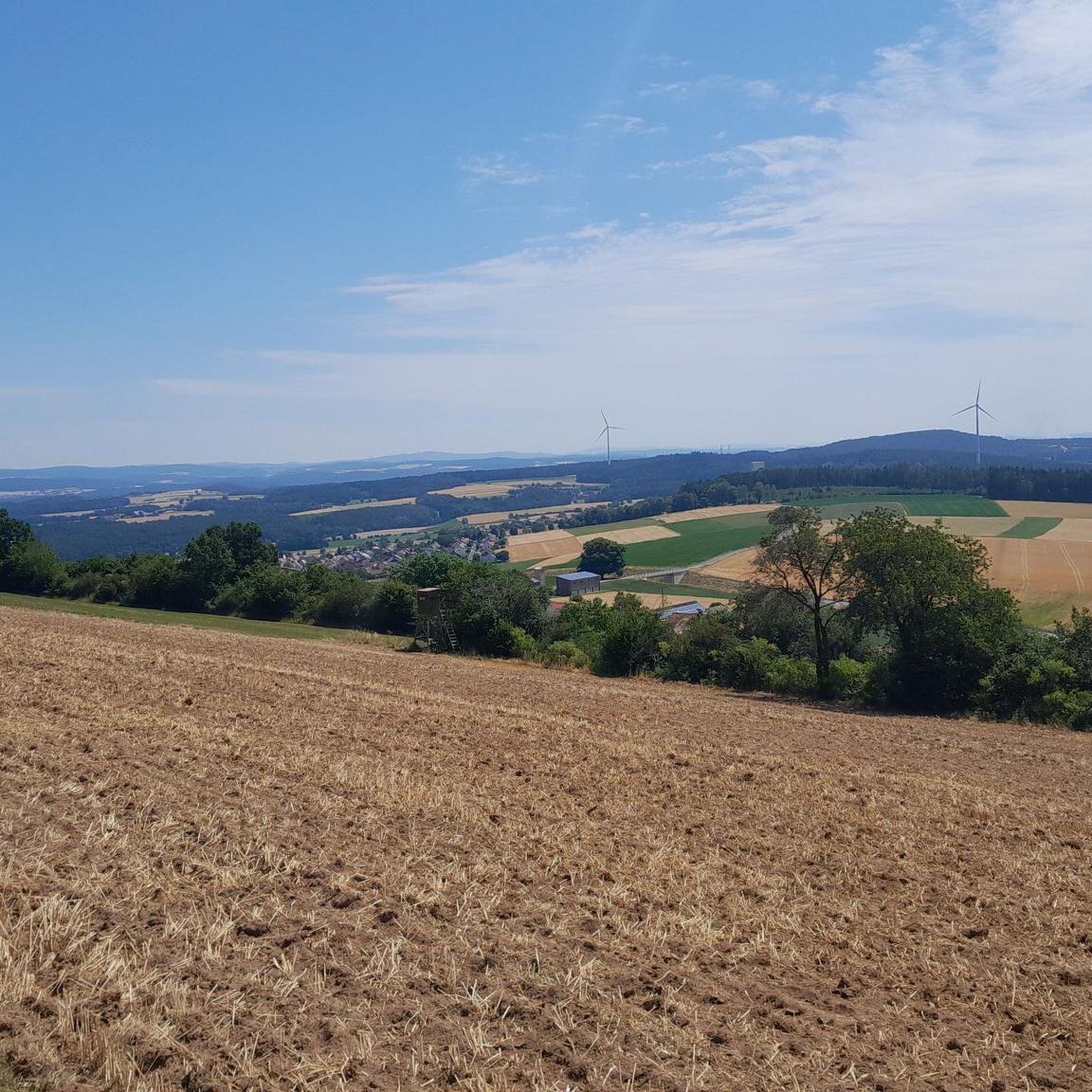
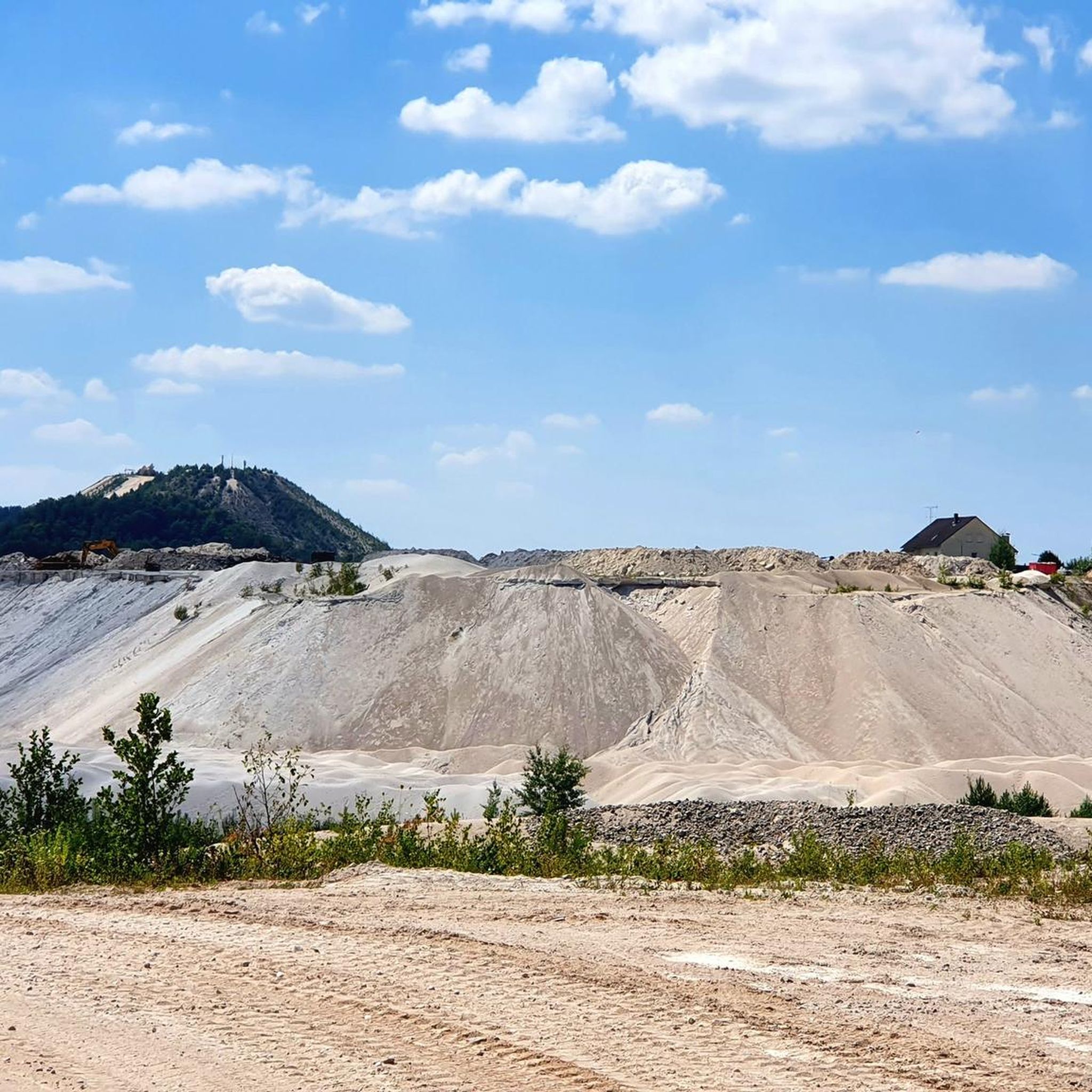
Tips from the Community

Beautiful route with hardly any traffic Asphalt great
0
0

Probably one of the most beautiful sights in Nabburg.
0
0

Relaxed driving and well-paved. Slightly downhill.
1
0

Fantastic, and very quiet
1
0

Every time I pass by here, I have to take a photo.
1
0

beautiful view of the city, if you take your eyes off the road during the fast descent
0
0

Quiet road to get from Mantel to Steinfels.
0
0

Nice fast section of the Pirker Grenzerfahrung.
0
0
Frequently Asked Questions
How many road cycling routes are available in Schnaittenbach?
The Schnaittenbach region offers a wide selection of road cycling routes, with over 70 tours available. These routes cater to various skill levels, from easy to challenging.
What kind of terrain can I expect on road cycling routes around Schnaittenbach?
Road cycling around Schnaittenbach features diverse terrain, characterized by rolling hills, dense forests, and scenic river valleys like the Naab and Vils. You'll find quiet country roads with excellent asphalt, offering both gentle gradients and more challenging ascents.
Are there road cycling routes suitable for beginners or families in Schnaittenbach?
Yes, Schnaittenbach offers several routes suitable for beginners and families. For a more leisurely experience, consider routes that follow river valleys, such as sections of the Naabtal Cycle Path. An example of an easier route is the Wernberg–Holzhammer Cycle Path – Mühlweiher near Kettnizmühle loop from Schnaittenbach, which covers about 38 km with moderate elevation.
Where can I find challenging road cycling routes with significant elevation gain?
For more challenging rides, the region's rolling hills provide routes with significant elevation gains. A notable option is the Luhe-Wildenau Town Center – Steinfels Castle loop from Schnaittenbach, which is nearly 78 km long and features over 760 meters of elevation gain through varied landscapes.
What are some scenic viewpoints or natural attractions I can see while road cycling?
The region boasts several scenic viewpoints and natural attractions. You can cycle past the unique Monte Kaolino, a sand dune leisure park, or explore the picturesque hills and forests. For panoramic views, consider routes near the Kulm Observation Tower or the Buchberg Summit. The Beckenweiher Nature Reserve, known for its birdlife, is also accessible.
Are there any historical landmarks or cultural sites accessible by road bike?
Yes, several historical and cultural sites are within reach. You can cycle past Fronberg Castle, which offers breathtaking views, or visit the historic St. Vitus Parish Church and Schnaittenbach Castle. Some routes also connect to historic trade routes like the Amber Route.
What is the best time of year for road cycling in Schnaittenbach?
The best time for road cycling in Schnaittenbach is typically during the warmer months, particularly July and August, when many users frequent the routes. The region's diverse landscapes are enjoyable throughout the year, but spring and autumn also offer pleasant conditions with milder temperatures and beautiful scenery.
Are there road cycling routes that offer opportunities for refreshment stops?
Many road cycling routes in Schnaittenbach pass through or near towns and villages where you can find cafes, pubs, and other establishments for refreshment. The region is known for its 'Zoigl' beer culture, offering unique local stops. For example, the Zoigl at Schmiehansl – Freudenberg Ascent loop from Kemnath am Buchberg is named after a local establishment.
Is parking available near the road cycling trailheads in Schnaittenbach?
Yes, parking is generally available in and around Schnaittenbach, especially near town centers and popular starting points for cycling routes. Many routes are designed as loops, often starting and ending in accessible locations like town squares, making parking convenient.
Can I find circular road cycling routes in the Schnaittenbach area?
The Schnaittenbach area is well-suited for circular road cycling routes. Many tours are designed as loops, allowing you to start and finish at the same point. Examples include the Wernberg Town Square – Luhe-Wildenau Town Center loop from Schnaittenbach, which winds through the scenic Upper Palatinate region.
What do other cyclists say about road cycling in Schnaittenbach?
Road cycling in Schnaittenbach is highly rated by the komoot community, with an average score of 4.6 stars from over 50 reviews. Cyclists often praise the quiet country roads, excellent asphalt, and the varied terrain that offers both challenging ascents and scenic river valley rides.
What unique natural features can I explore near Schnaittenbach while cycling?
Beyond the rolling hills and forests, you can explore unique natural features like Monte Kaolino, a sand dune formed from kaolinite production, which is part of the GeoPark Kaolinrevier. The Beckenweiher Nature Reserve, an important habitat for waterfowl and migratory birds, is also a notable natural highlight.
Are there any road cycling routes that connect to wider cycling networks?
Yes, some road cycling routes in the Schnaittenbach region are part of larger networks. You can find sections that connect to paths like the Pirker Grenzerfahrung Cycle Path or historic routes such as the Amber Route and the Wallenstein-Tilly-Path, offering opportunities for extended tours.
Most popular routes around Schnaittenbach
Most popular attractions around Schnaittenbach

Get inspired with the komoot mobile app


Explore more
Browse the best Road cycling routes in other regions.
