The best walks and hikes around Schmidgaden
4.6
(484)
2,556
hikers
29
hikes
Hiking around Schmidgaden offers diverse landscapes, including rolling hills, dense forests, and picturesque river valleys. The region is situated at the foot of the Upper Palatinate Forest, providing a varied topography for outdoor activities. Key natural features include the Magdalenental valley, through which the Schwärzerbach stream flows, and hills such as Friedrichsberg and Eichelberg. This area serves as a starting point for excursions into nature, characterized by its mix of deciduous and coniferous forests.
Best hiking trails around Schmidgaden
- The…
Last updated: July 4, 2026
3.9
(8)
42
hikers
8.52km
02:26
200m
200m
Moderate hike. Good fitness required. Easily-accessible paths. Suitable for all skill levels.
4.4
(11)
22
hikers
13.5km
03:32
100m
100m
Moderate hike. Good fitness required. Easily-accessible paths. Suitable for all skill levels.

Sign up for free
5.0
(5)
10
hikers
9.91km
02:51
240m
240m
Moderate hike. Good fitness required. Easily-accessible paths. Suitable for all skill levels.
4.7
(3)
15
hikers
5.24km
01:22
30m
40m
Easy hike. Great for any fitness level. Easily-accessible paths. Suitable for all skill levels.
4.8
(4)
3
hikers
10.0km
02:50
220m
220m
Moderate hike. Good fitness required. Easily-accessible paths. Suitable for all skill levels.
Get access to more routes and recommendations from other explorers.
Sign up for free
Already have an account?
Our route recommendations are based on thousands of hikes, rides, and runs completed by other people on komoot.
Start today with a free account
Your next adventure awaits.
Login or Signup
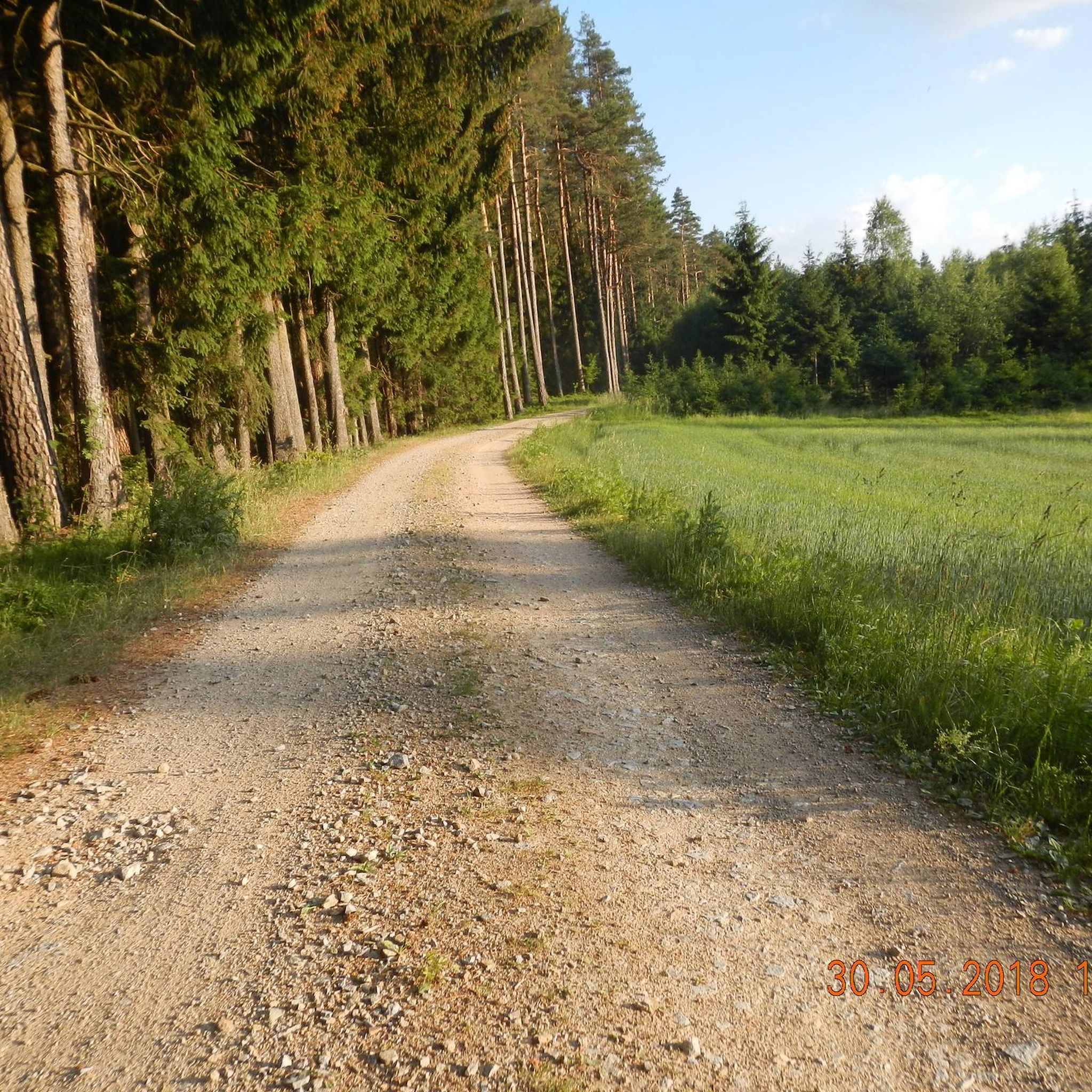
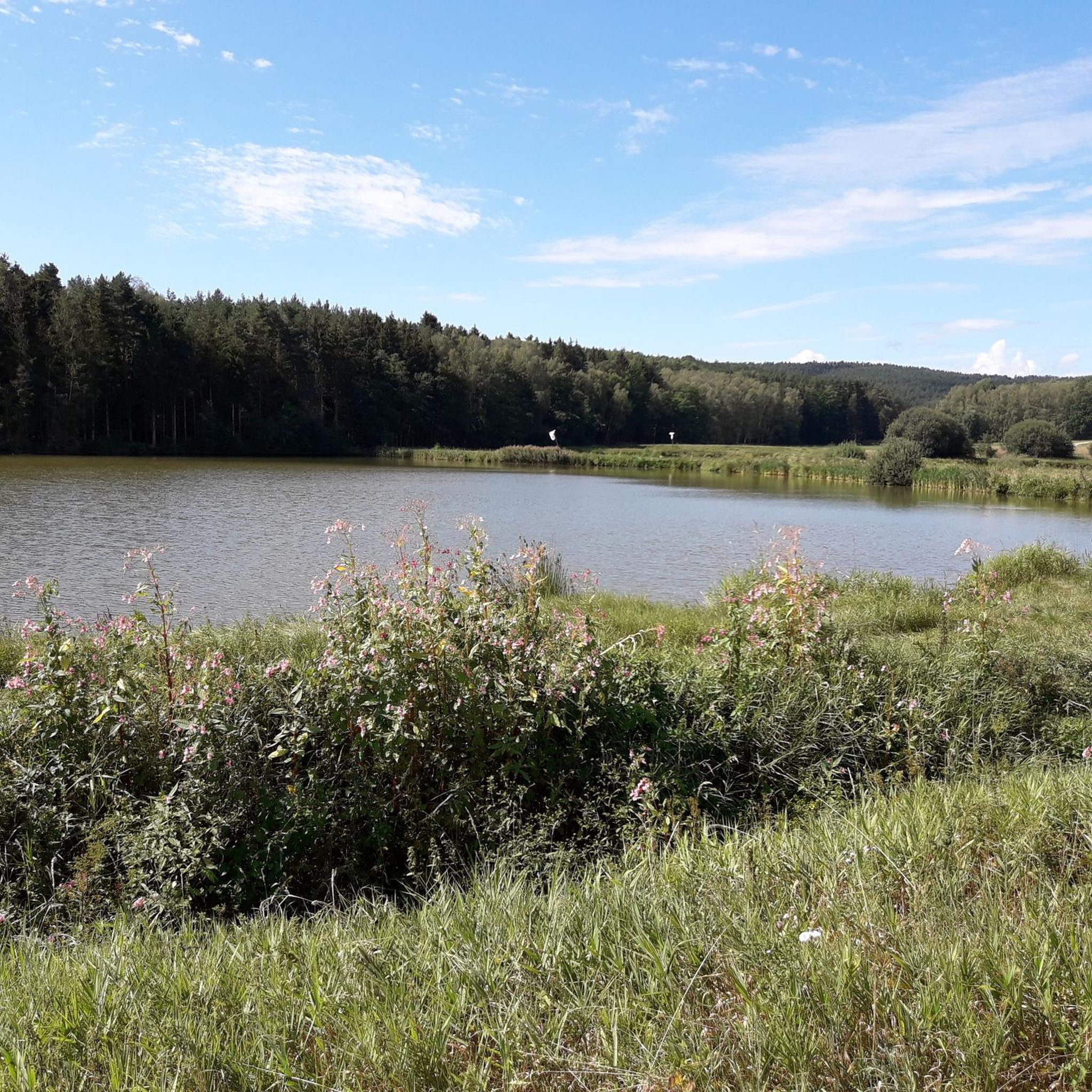
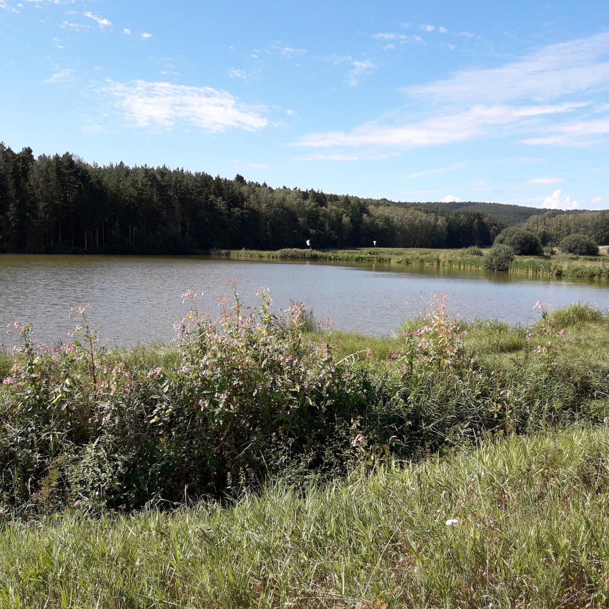

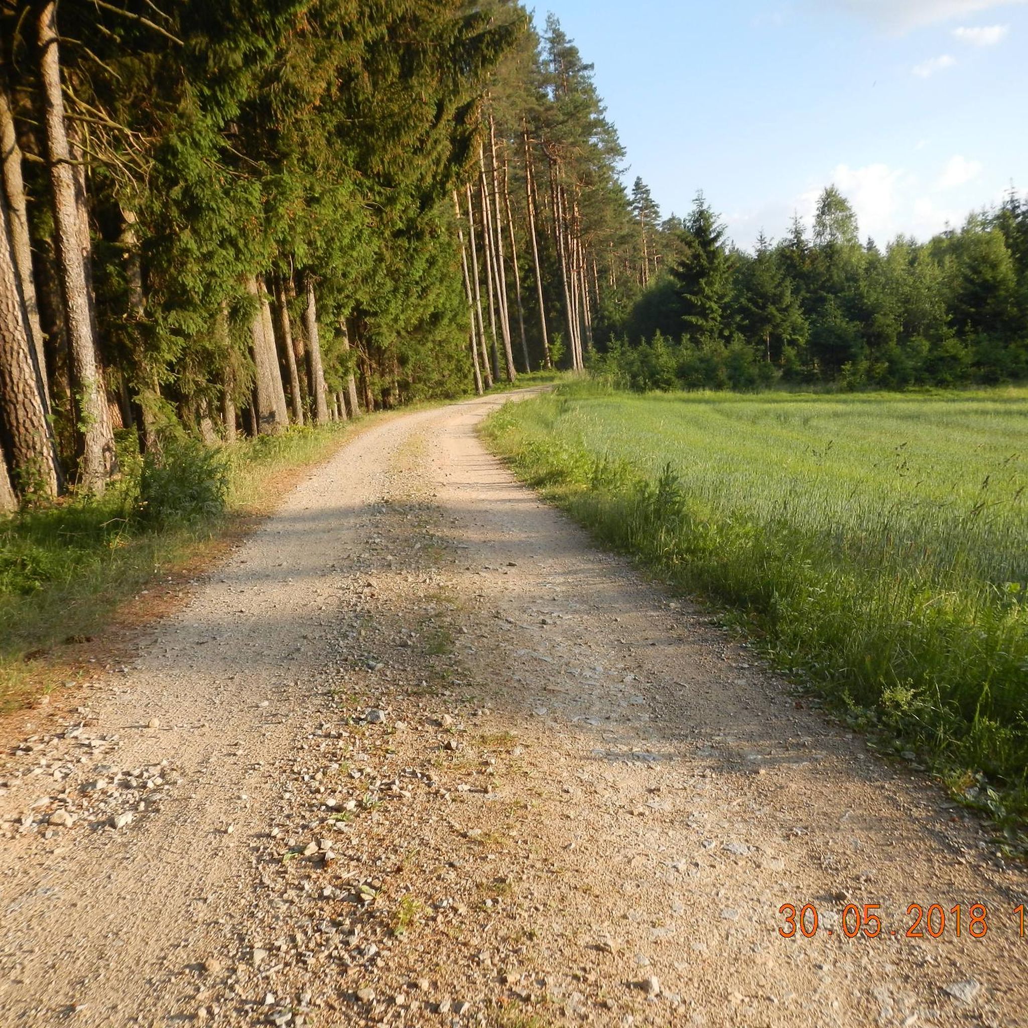
Tips from the Community

A wonderful area with many sights
1
0

on the right it goes along the Grimmerbach
1
0
The surface of this unique cross is covered with mirror mosaic.
1
0

This oak cross was erected in 2024. Further information can be found on the plaque next to it.
0
0

The toilets are very well maintained and free!
0
0

Iconic crossroads with cross signposts, close to the legendary Steinköppl, named after the culinary inviting Etsdorfer Gasthaus 👨🍳🍻💝
2
0

Easy-to-drive cycle path along the road between Trisching and Schmidgaden next to the state road ST 2040, heavier traffic there
1
0

A beautiful, romantic path leads through the forest and always offers a view of the pond.
0
0
Frequently Asked Questions
How many hiking trails are available in Schmidgaden?
Schmidgaden offers a good selection for hikers, with nearly 30 distinct hiking routes. These range from easy strolls to more challenging moderate trails, ensuring there's something for various fitness levels.
What kind of terrain can I expect on hikes around Schmidgaden?
The region around Schmidgaden is characterized by diverse topography, including rolling hills, dense forests, and picturesque river valleys. You'll find paths winding through deciduous and coniferous forests, with some routes offering ascents to viewpoints and others following tranquil streams like the Schwärzerbach in the Magdalenental valley.
Are there any easy, family-friendly hikes in Schmidgaden?
Yes, Schmidgaden has several easy routes suitable for families. For instance, the Schwärzermühlweiher – Bridge Over the Grimmerbach loop from Trisching is an easy 3.8 km trail through the Magdalenental valley, often completed in about an hour. The region also offers paths through a nearby fairytale forest or along the Naab River, perfect for playful exploration.
What are some notable natural features or landmarks to see while hiking?
Hikers can explore the charming Magdalenental valley, where the Schwärzerbach stream flows, offering tranquil spots and viewpoints from heights like Grafenberg. The region also features the Friedrichsberg and Eichelberg. For historical interest, the Schwarzenfeld Castle and Wernberg Castle are among the nearby attractions.
What do other hikers enjoy most about the trails in Schmidgaden?
The hiking routes in Schmidgaden are highly rated by the komoot community, with an average score of 4.6 stars from over 400 reviews. Hikers frequently praise the varied terrain, scenic forest sections, and the peaceful atmosphere of areas like the Magdalenental valley.
Are there any circular hiking routes available?
Yes, many of the trails in Schmidgaden are circular, offering convenient starting and ending points. An example is the Schwärzermühlweiher – Asphalt Chapel loop from Trisching, a moderate 8.5 km route that takes you through varied landscapes.
What is the best time of year to go hiking in Schmidgaden?
The best seasons for hiking in Schmidgaden are spring and autumn. During these times, the natural scenery displays its most vibrant colors, and the climate is pleasantly mild, making for ideal hiking conditions.
Are there any longer, more challenging hikes for experienced hikers?
While Schmidgaden primarily offers easy to moderate trails, some routes provide a good challenge. The Center of the Upper Palatinate – Schwarzenfeld loop from Schmidgaden is a moderate 13.5 km hike. Additionally, the renowned Goldsteig long-distance hiking trail passes through the broader region, offering extensive options for serious hikers.
Can I find any castles or historic sites along the hiking trails?
Absolutely. The region boasts several historic sites. The Schwarzenfeld Castle and Moos Water Castle are among the castles you might encounter or find nearby. The Stockenfels castle ruins, perched on a hill, also offer breathtaking views of the surrounding landscape.
Are there any trails that lead to scenic viewpoints?
Many trails in Schmidgaden offer opportunities for scenic views. Routes like the Steinköppl Summit – Asphalt Chapel Etsdorf loop from Trisching include ascents to viewpoints. The Kulm Observation Tower near Nabburg also provides panoramic views of the Eixlberg and the Naab valley, and various peaks around Schmidgaden, such as the Buchberg Summit, offer expansive vistas.
What is the longest moderate hike available in Schmidgaden?
For a longer moderate hike, consider the Center of the Upper Palatinate – Schwarzenfeld loop from Schmidgaden. This route covers approximately 13.5 km and typically takes around 3 hours and 30 minutes to complete, offering a substantial exploration of the area.
Most popular routes around Schmidgaden
Most popular attractions around Schmidgaden

Get inspired with the komoot mobile app


Explore more
Browse the best Hikes in other regions.
