The best walks and hikes in Landkreis Schmalkalden-Meiningen
4.6
(20299)
73,936
hikers
2,666
hikes
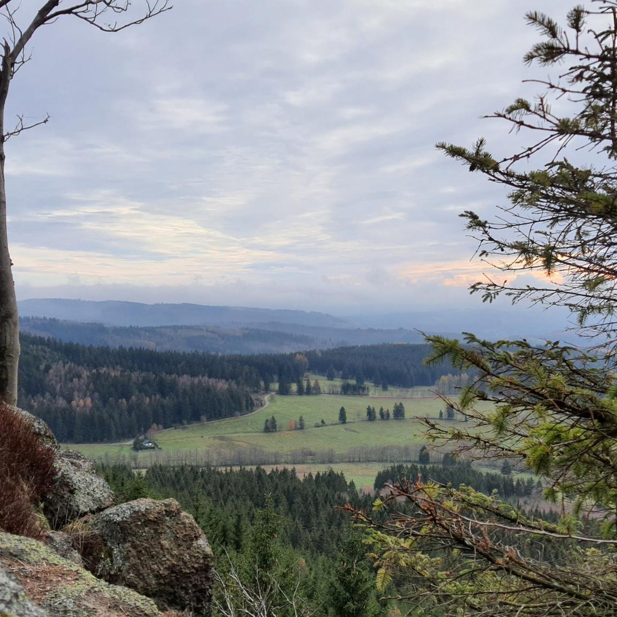
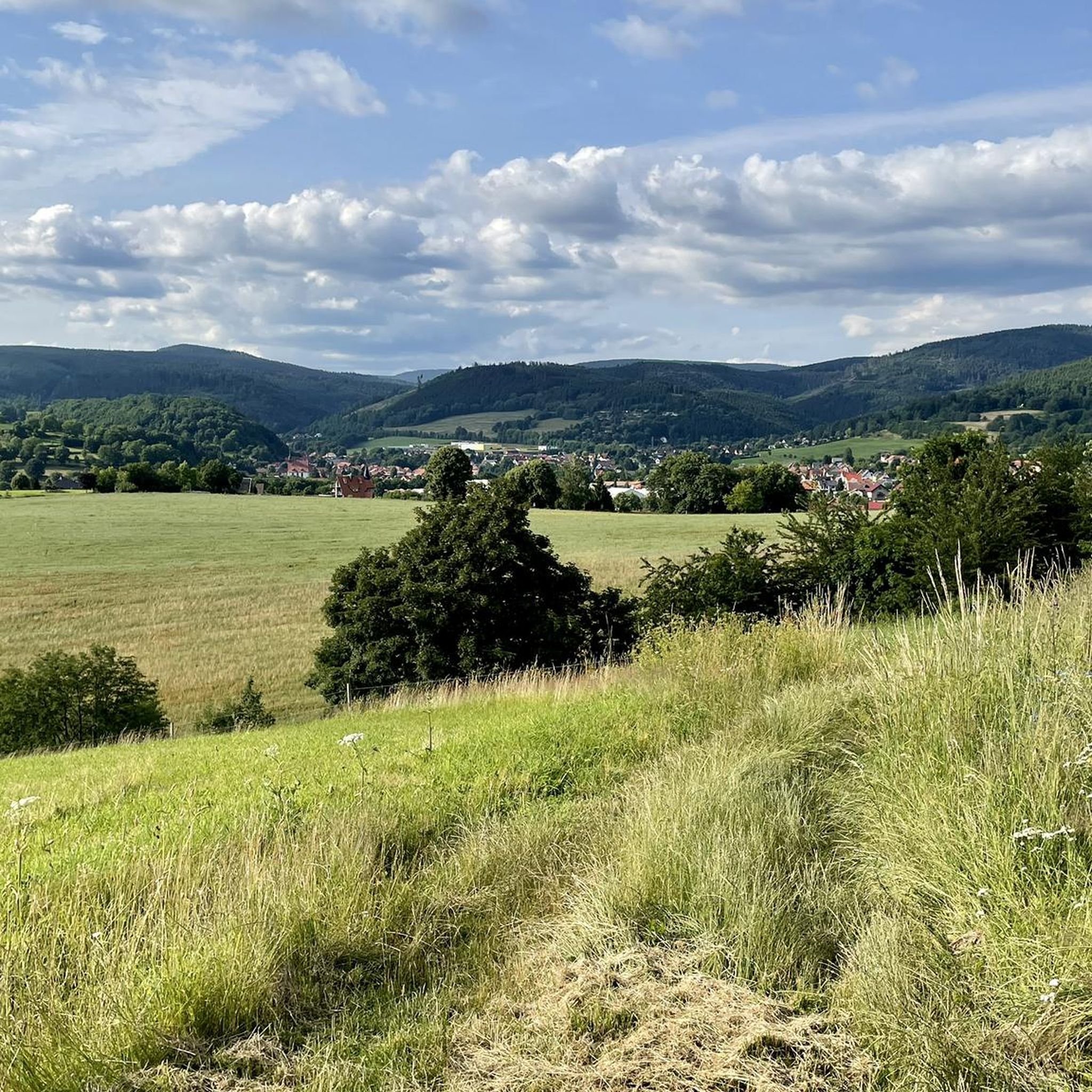
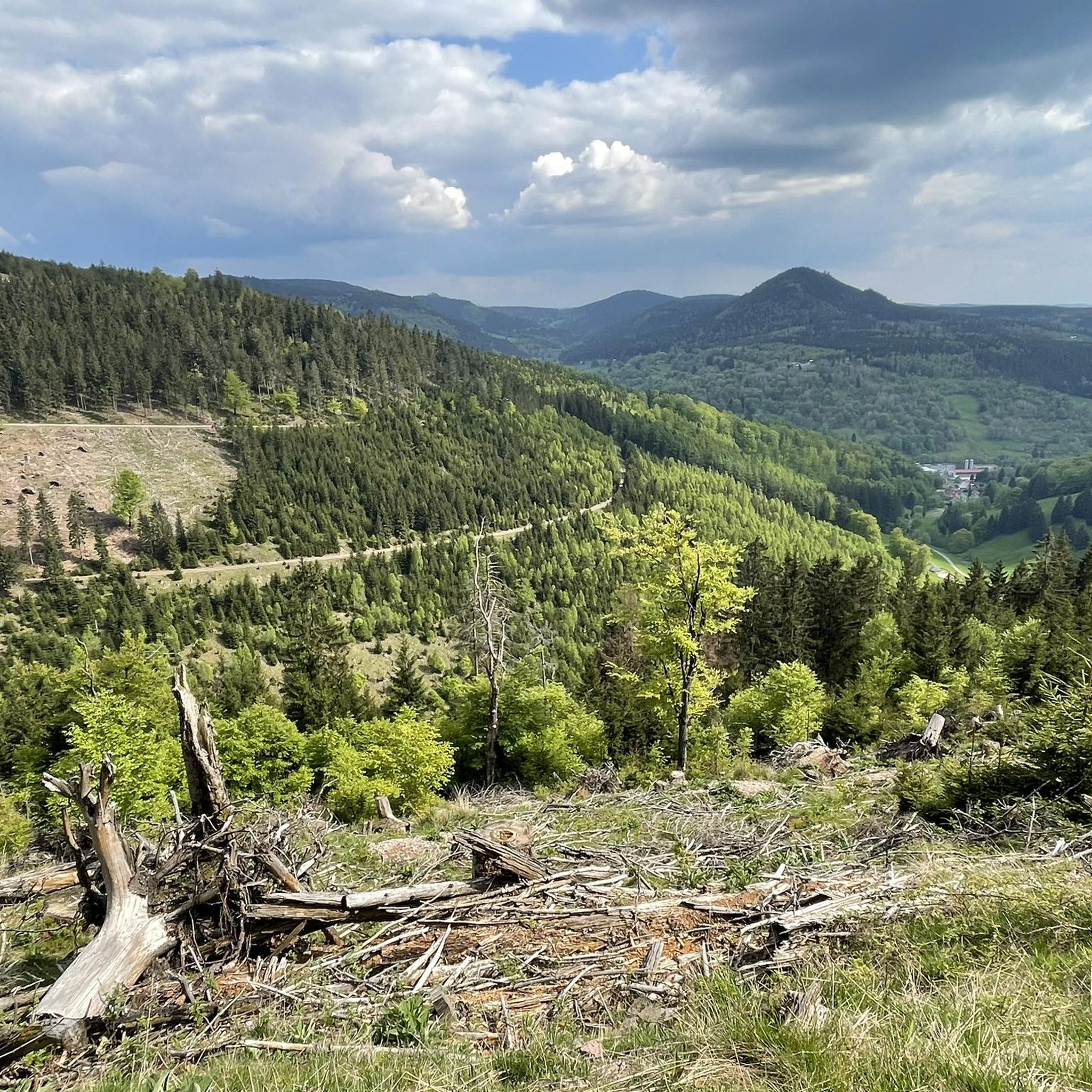
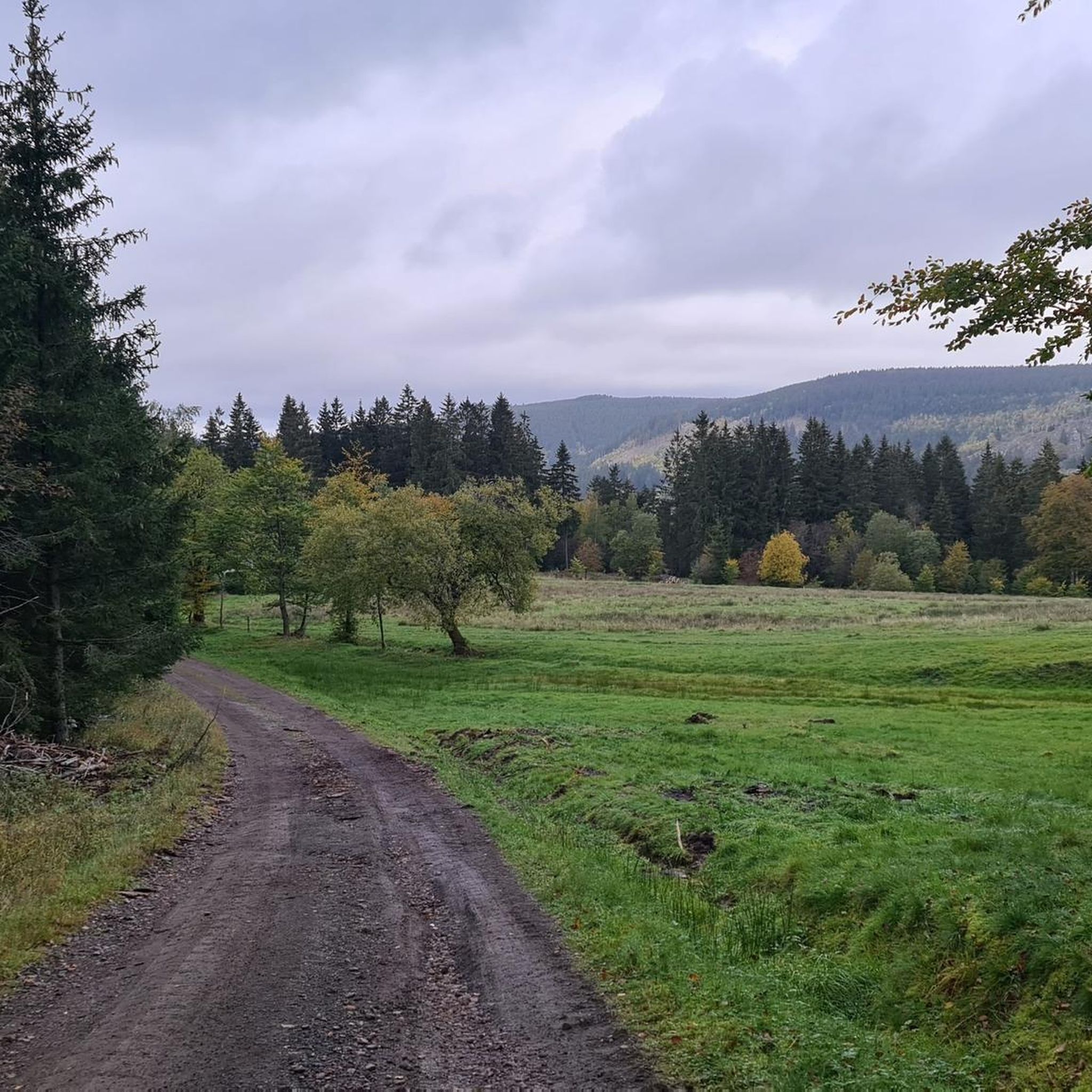
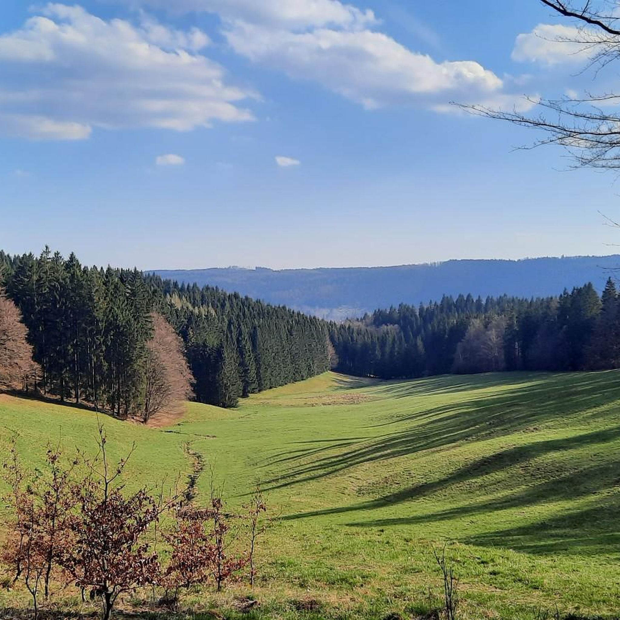
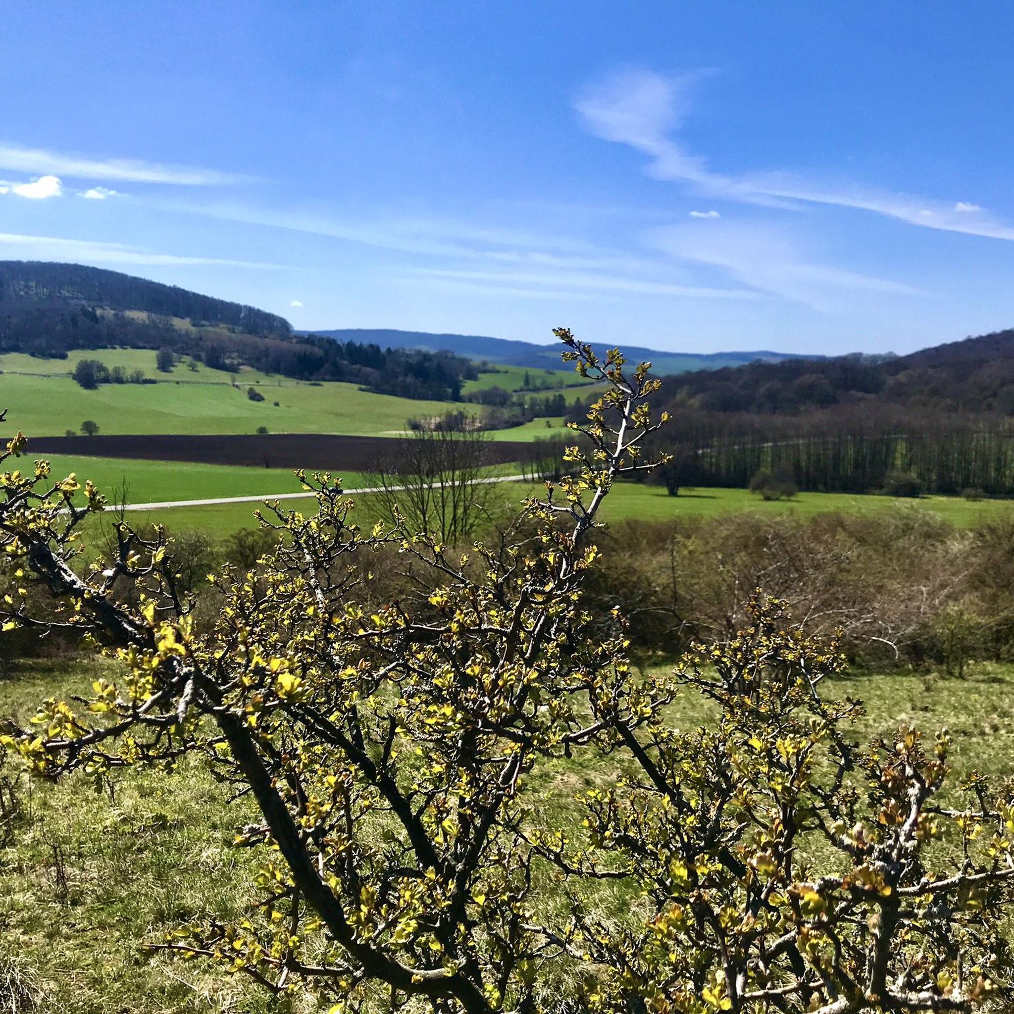
Hiking in Landkreis Schmalkalden-Meiningen offers a diverse landscape, encompassing parts of the Thuringian Forest in the east and the Rhön Mountains in the west. The scenic Werra Valley separates these low mountain ranges, with the hilly Grabfeld to the south. This variety provides a wide range of hiking experiences, from gentle walks along river paths to more challenging trails with panoramic views. The region is characterized by lush forests, volcanic origins, and picturesque valleys.
Best hiking trails in Landkreis Schmalkalden-Meiningen
…Last updated: May 25, 2026
4.7
(234)
746
hikers
10.4km
03:01
240m
240m
Moderate hike. Good fitness required. Mostly accessible paths. Sure-footedness required.
4.8
(161)
596
hikers
15.1km
04:35
510m
510m
Moderate hike. Good fitness required. Mostly accessible paths. Sure-footedness required.

Sign up for free
4.5
(73)
267
hikers
3.70km
01:05
100m
100m
Moderate hike. Great for any fitness level. Mostly accessible paths. Sure-footedness required.
4.8
(79)
276
hikers
14.3km
04:09
380m
380m
Moderate hike. Good fitness required. Easily-accessible paths. Suitable for all skill levels.
4.8
(435)
1,460
hikers
8.22km
02:22
190m
190m
Moderate hike. Good fitness required. Mostly accessible paths. Sure-footedness required.
4.8
(356)
1,145
hikers
Moderate hike. Good fitness required. Mostly accessible paths. Sure-footedness required.
4.7
(650)
2,033
hikers
8.99km
02:27
140m
140m
Moderate hike. Good fitness required. Easily-accessible paths. Suitable for all skill levels.
4.6
(322)
1,019
hikers
12.4km
03:28
250m
250m
Moderate hike. Good fitness required. Easily-accessible paths. Suitable for all skill levels.
4.8
(24)
70
hikers
5.05km
01:29
150m
140m
Moderate hike. Great for any fitness level. Mostly accessible paths. Sure-footedness required.
4.7
(464)
1,411
hikers
9.66km
02:41
170m
170m
Moderate hike. Good fitness required. Easily-accessible paths. Suitable for all skill levels.
Get access to more routes and recommendations from other explorers.
Sign up for free
Already have an account?
Our route recommendations are based on thousands of hikes, rides, and runs completed by other people on komoot.
Start today with a free account
Your next adventure awaits.
Login or Signup
Popular around Landkreis Schmalkalden-Meiningen
Other adventures in Landkreis Schmalkalden-Meiningen


Tips from the Community

This is a great stamp point.
3
0

Impressive moorland landscape, which is unfortunately drying out.
0
0

Interesting information boards; caution in wet weather, the boards can be very slippery then
0
0
Interesting information boards; Be careful in wet weather, as the planks can be very slippery in places
0
0

You should take a look at DasD
1
0

Wonderful tranquility except for a few birds that you could listen to. The place invited me to linger.🌻☺️🌻
0
0

Lots of interesting information about the Zella-Mehlis region
2
0
Lots of interesting information about the Avenue of Olympic Champions
2
0
Frequently Asked Questions
How many hiking trails are available in Landkreis Schmalkalden-Meiningen?
Landkreis Schmalkalden-Meiningen offers a vast network of hiking opportunities, with over 2,600 trails recorded on komoot. This includes a wide range of options from easy strolls to more challenging mountain routes.
Are there easy hiking trails suitable for beginners or families?
Yes, the region is very welcoming for beginners and families. There are over 1,200 easy routes available. For a family-friendly option, consider the Family hiking trail Nature trail Ellenbogen – with the kids in the Rhön, which is a moderate 3.7 km path designed for younger hikers.
Can I find circular hiking routes in the region?
Many trails in Landkreis Schmalkalden-Meiningen are designed as circular routes, allowing you to start and end at the same point. An example is the View of Oberhof loop from Naturpark Thüringer Wald, a moderate 7.9 km trail offering scenic views.
Are there any hikes with impressive viewpoints?
Absolutely. The region is rich in viewpoints due to its diverse topography. Prominent peaks like the Großer Inselsberg, Pleß Tower, Hohe Geba, Dolmar, and Ruppberg all offer extensive panoramic views of the Thuringian Forest, the Rhön Mountains, and the Werra Valley. You can find the Great Inselsberg as a highlight on many routes.
Are there any waterfalls to see while hiking?
Yes, you can visit the impressive Trusetal Waterfall, an artificially created cascade plunging 58 meters. A circular walk is available around it, making it a rewarding destination for hikers.
What kind of landscapes can I expect to see on the trails?
The landscape is incredibly varied. You'll encounter the dense, lush woodlands of the Thuringian Forest in the east, the unique volcanic formations and panoramic vistas of the Rhön Mountains in the west, and the picturesque Werra Valley separating them. The hilly Grabfeld to the south adds further diversity to the terrain.
What are some interesting natural attractions to explore?
Beyond the major mountain ranges, you can explore natural highlights like the picturesque Ebertswiese Mountain Lake, often reached via a circular trail through fir forests. The Violet fountain is another notable natural monument in the area.
What do other hikers enjoy the most about hiking in Landkreis Schmalkalden-Meiningen?
The area is highly rated by the komoot community, with an average score of 4.6 stars from over 19,000 reviews. Hikers often praise the diverse landscapes, from the dense forests to the open Rhön vistas, and the well-maintained, extensive network of trails suitable for all abilities.
Are there any long-distance hiking trails accessible from the region?
Yes, a significant draw for hikers is the Rennsteig, one of Germany's most famous long-distance trails. Several sections and feeder trails, known as 'Rennsteig-Leiter,' connect towns within Landkreis Schmalkalden-Meiningen, such as Schmalkalden, to this historic ridge walk, making it accessible for day trips or multi-day excursions.
Are there dog-friendly hiking options in Landkreis Schmalkalden-Meiningen?
Many trails in the region are suitable for hiking with dogs, especially those through the extensive forests and open landscapes. It's always advisable to keep dogs on a leash, particularly in nature reserves or near livestock, and to check local regulations for specific areas.
Can I access hiking trails using public transport?
While some larger towns and trailheads may have public transport connections, access to more remote hiking areas often benefits from personal transport. It's recommended to check local bus or train schedules for specific starting points, especially if you plan a linear route.
What is a good moderate hike to experience the Rhön Mountains?
For a moderate experience in the Rhön, consider the Extratour "Gebaweg": Rhönblick - Rhön. This 15.1 km path offers varied terrain and takes approximately 4 hours 35 minutes to hike, providing excellent views of the Rhön landscape.
Most popular routes in Landkreis Schmalkalden-Meiningen
Most popular attractions in Landkreis Schmalkalden-Meiningen

Get inspired with the komoot mobile app


Didn’t find what you were looking for?
Check out more Hikes throughout Landkreis Schmalkalden-Meiningen below and find the perfect route in your destination.
Explore more
Browse the best Hikes in other regions.
